| |
|
|
|
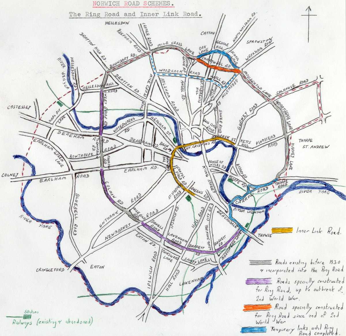
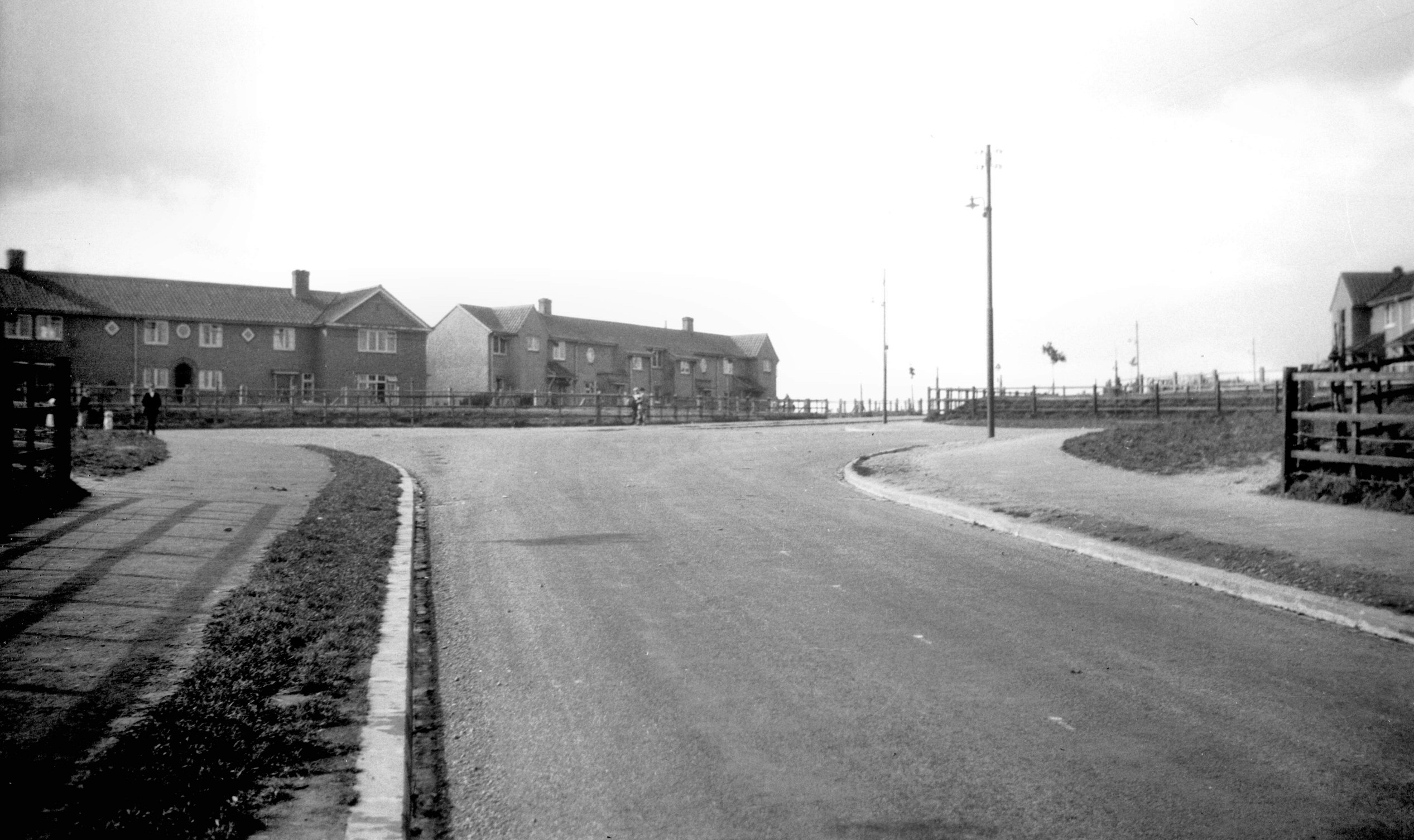
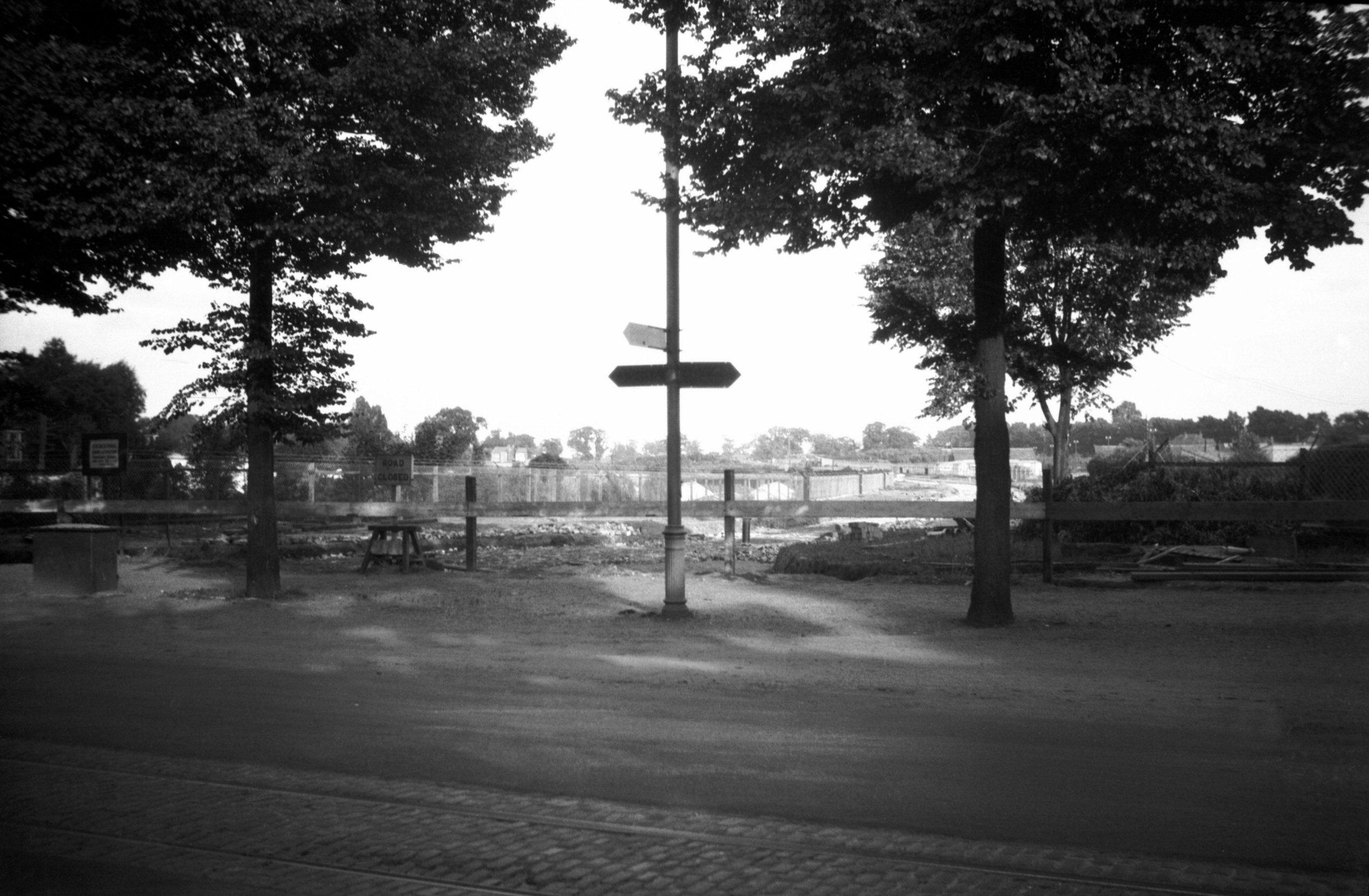
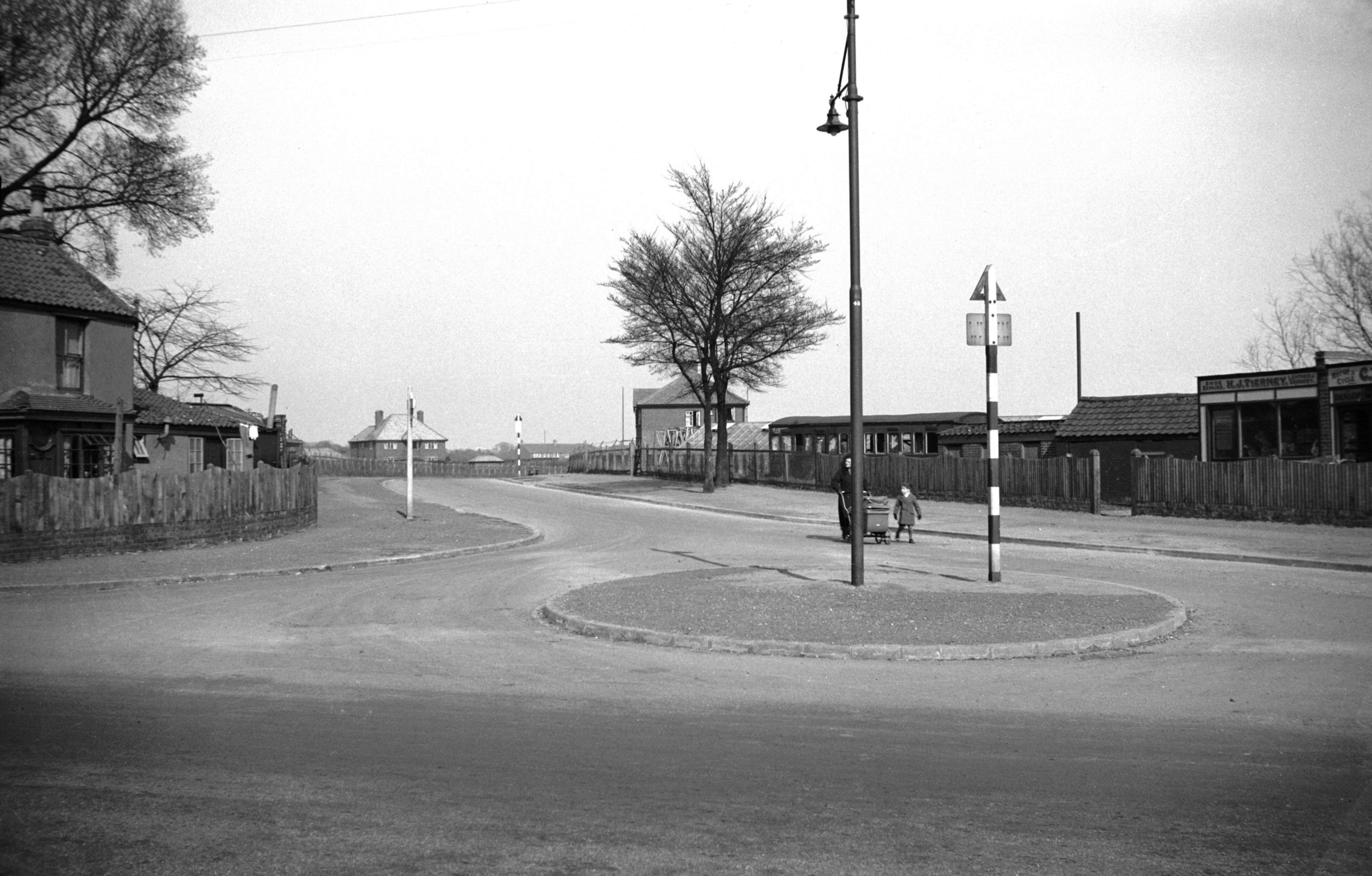
Ring Road
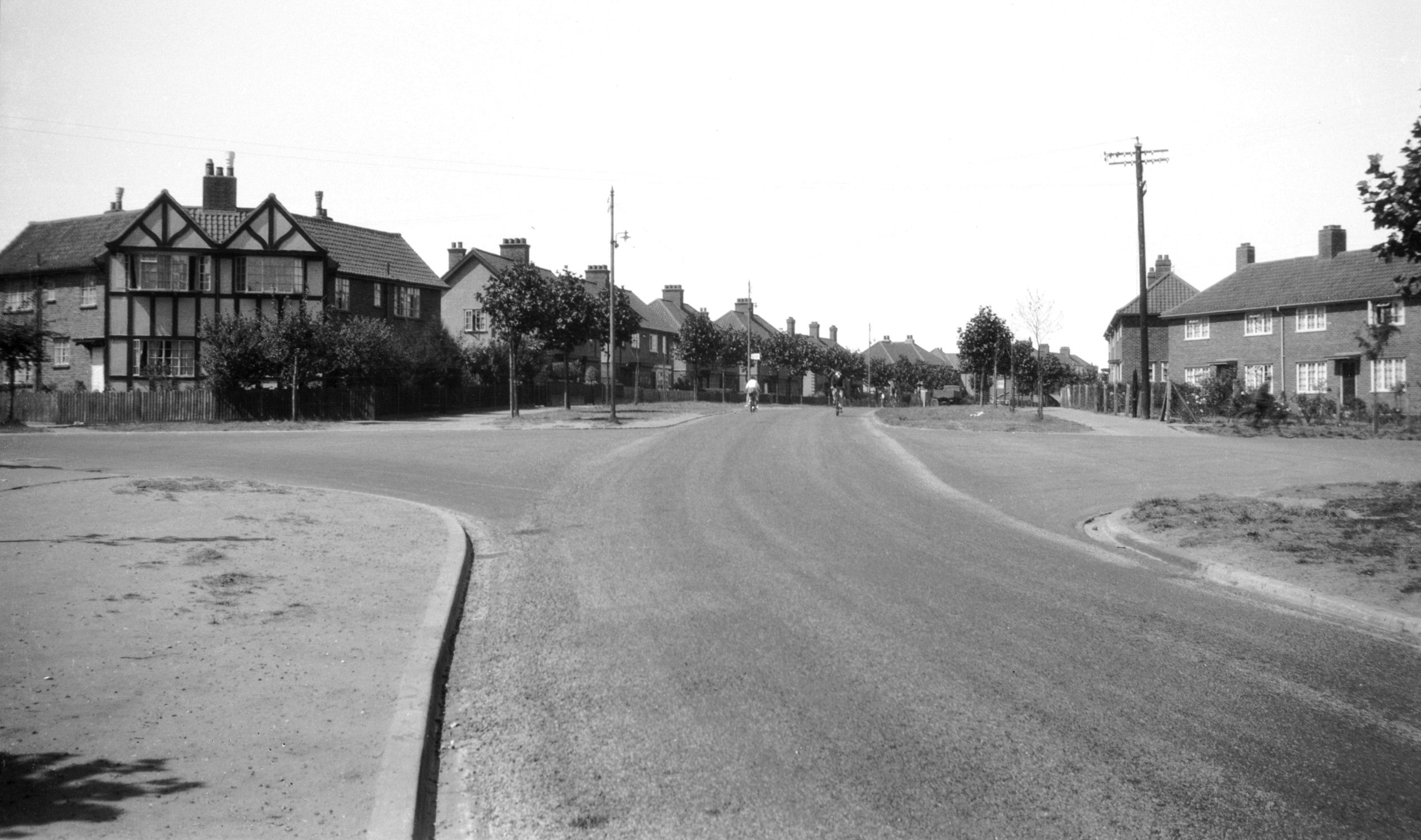
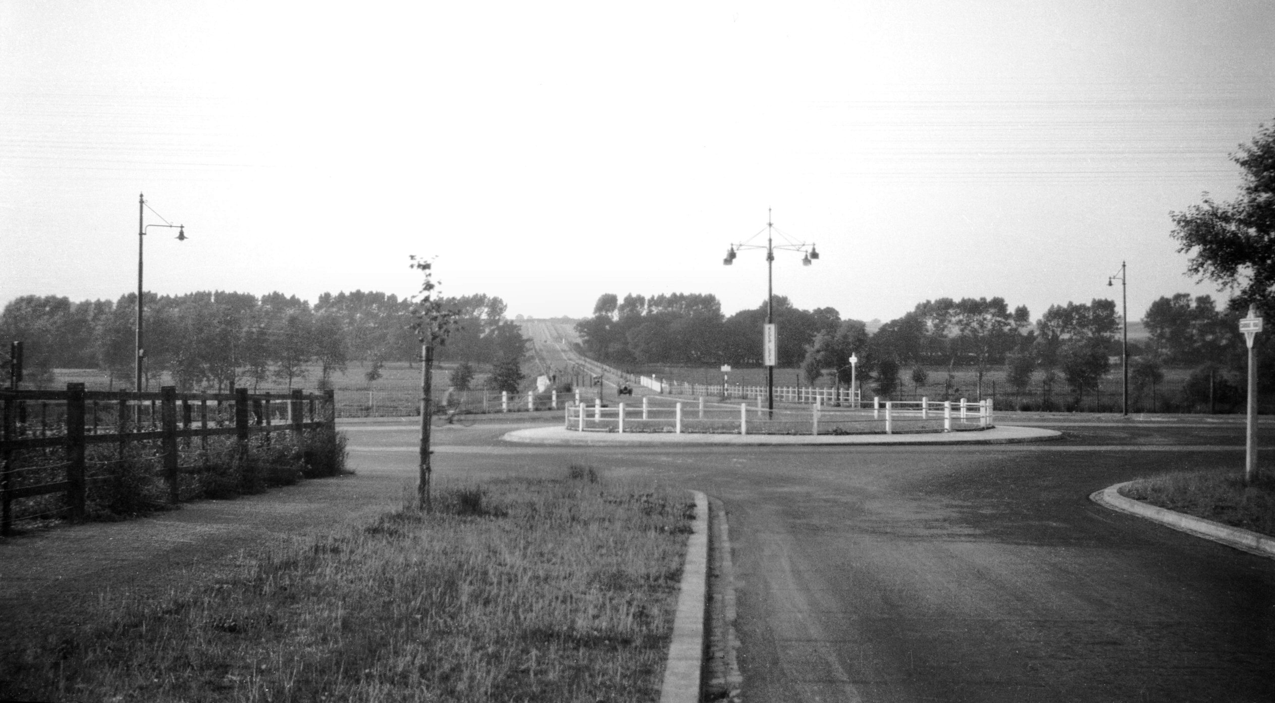
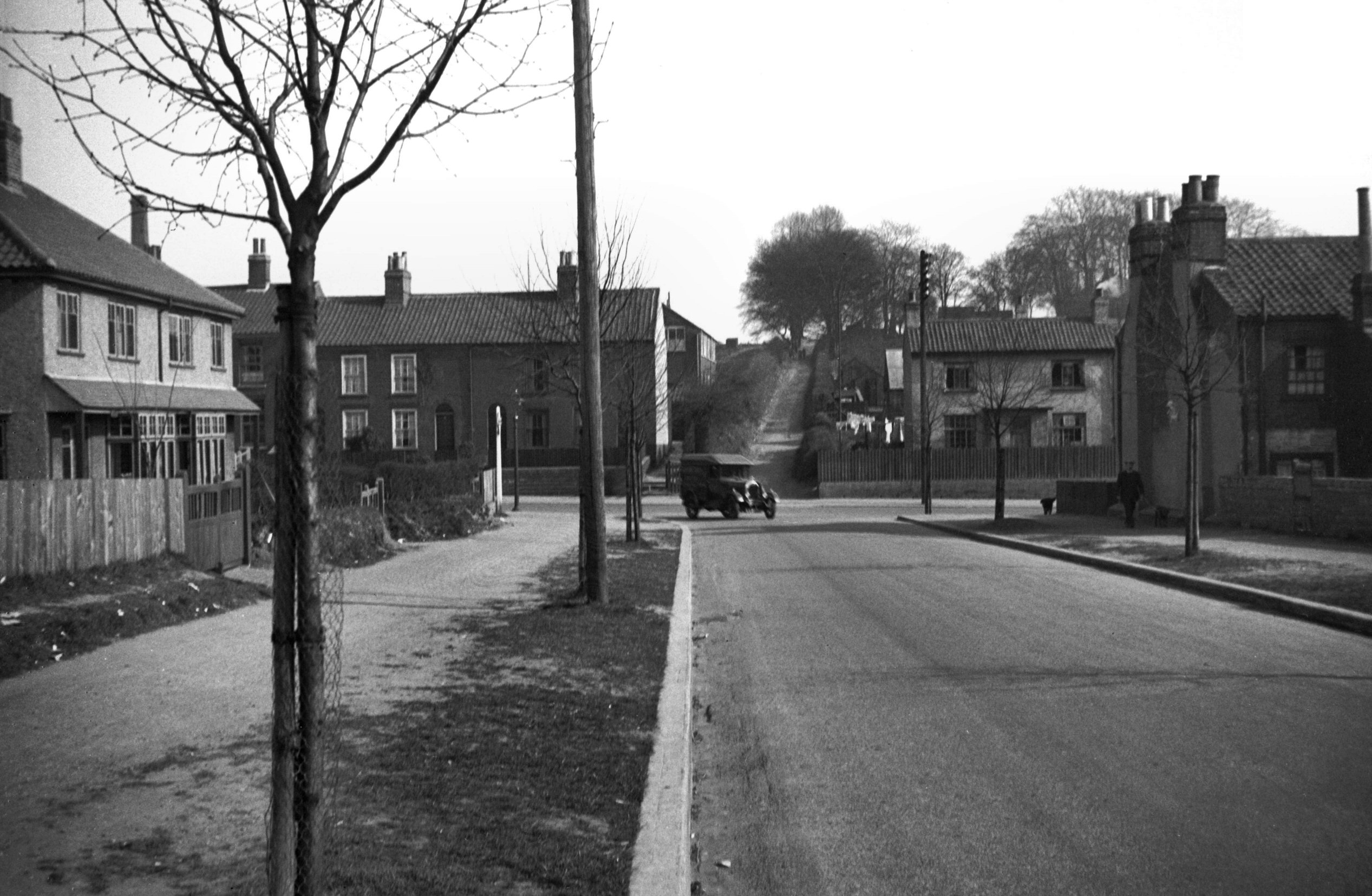
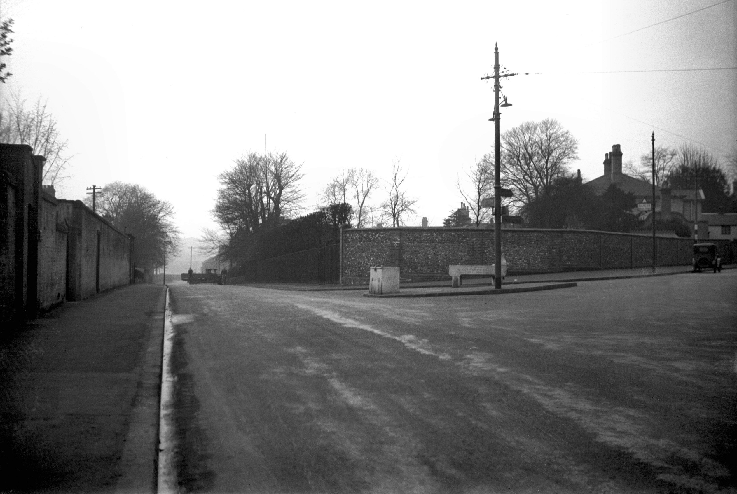
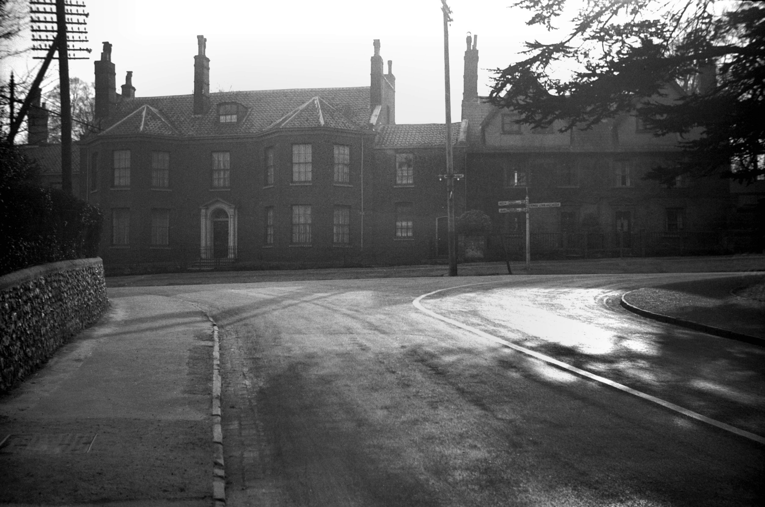
Martineau Lane at Bracondale [B788] 1933-10-08
It was in 1896 when a motor car first made its appearance
in the streets of Norwich. The pioneer driver was Mt
F.W.Fitt. By 1927 10,000 cars had been registered in the
city and the traffic congestion was causing concern. One
means of easing this problem was seen to be the formation
of a "ring" road to send the traffic around
instead of through Norwich. It was considered the more
practical since considerable portions of it were already
in being, consisting of Martineau Lane to the south, Mile
End Rd and Colman Rd (to North Farm Teahouse only) to the
west, Farrow Rd and Guardian Rd, Sweet Briar Lane,
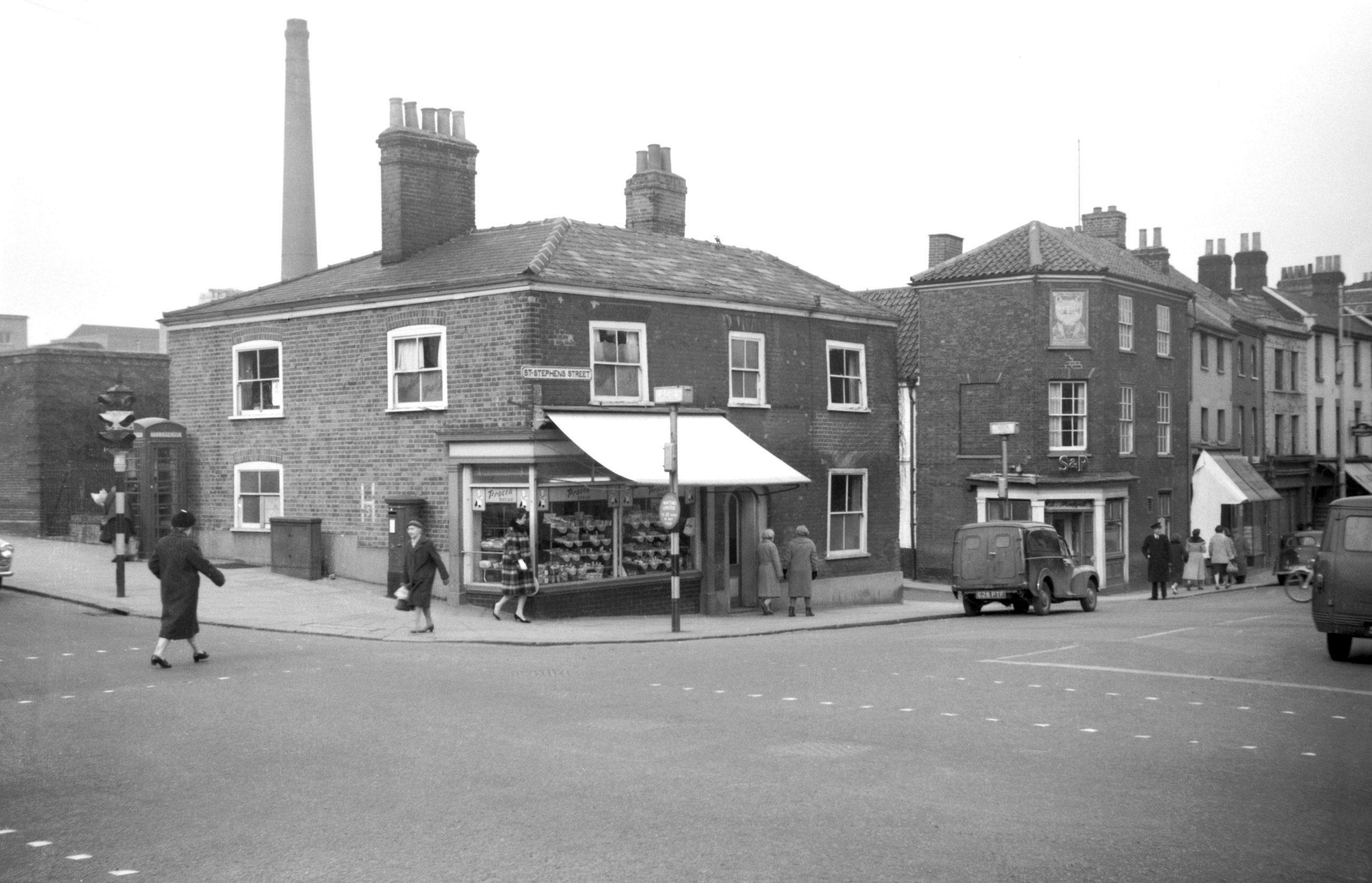
Boundary Rd, and Mousehold, Heartsease and Harvey Lanes. |
|
|
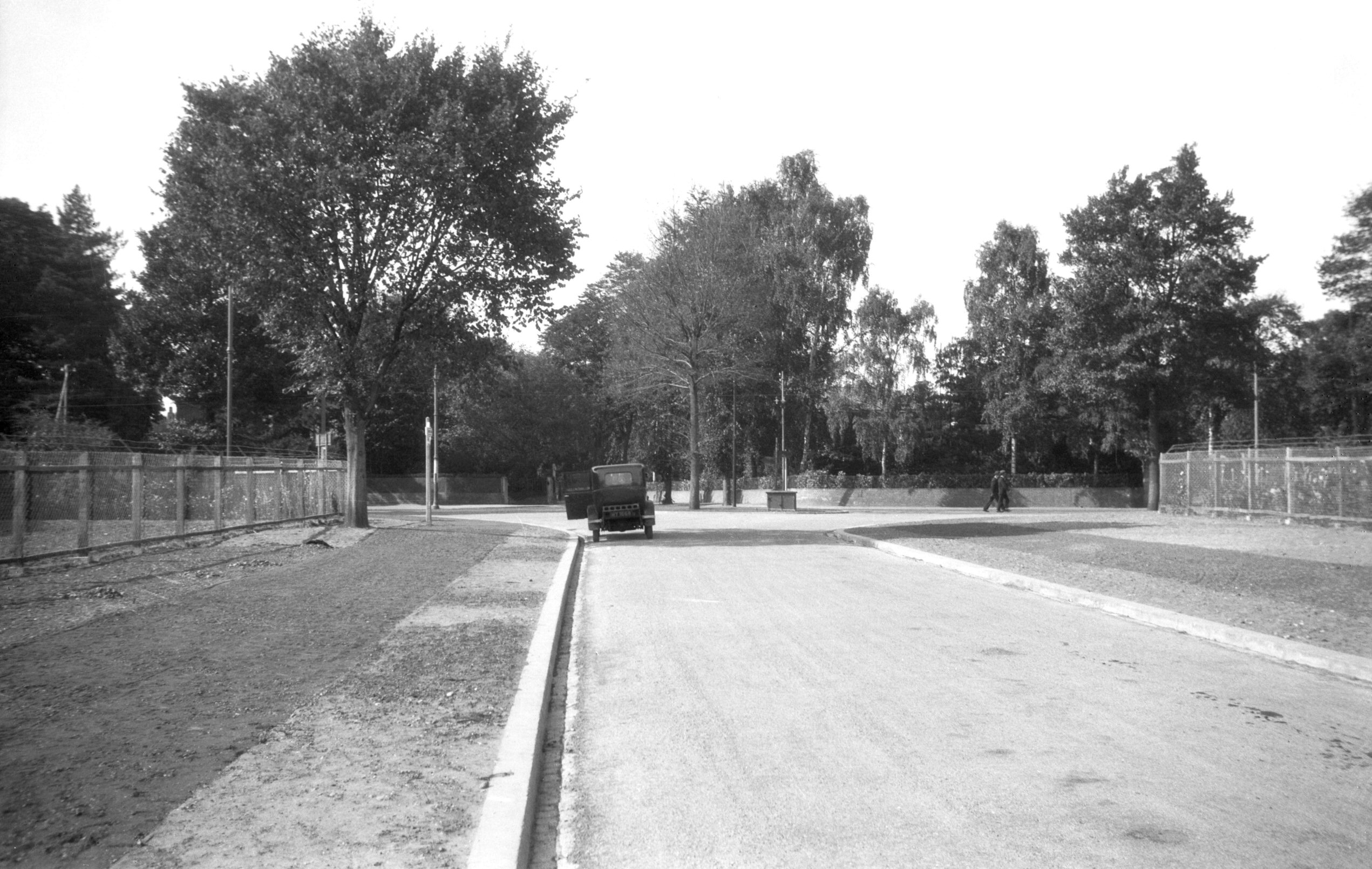
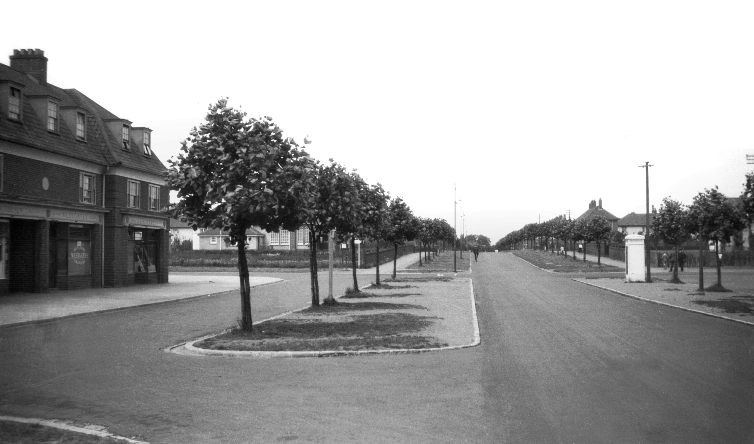
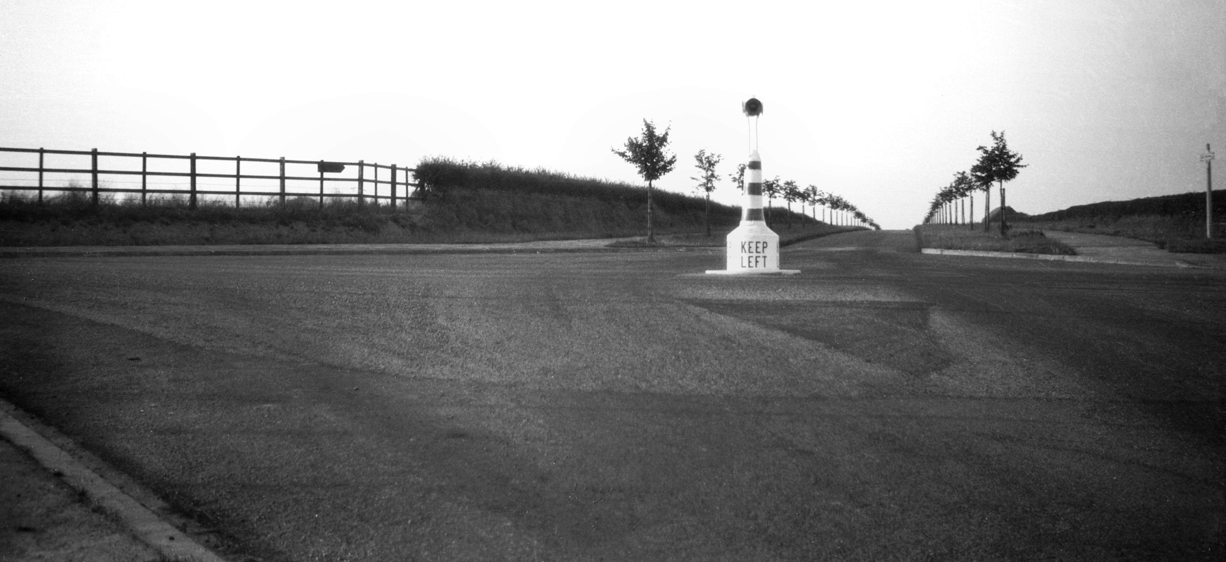
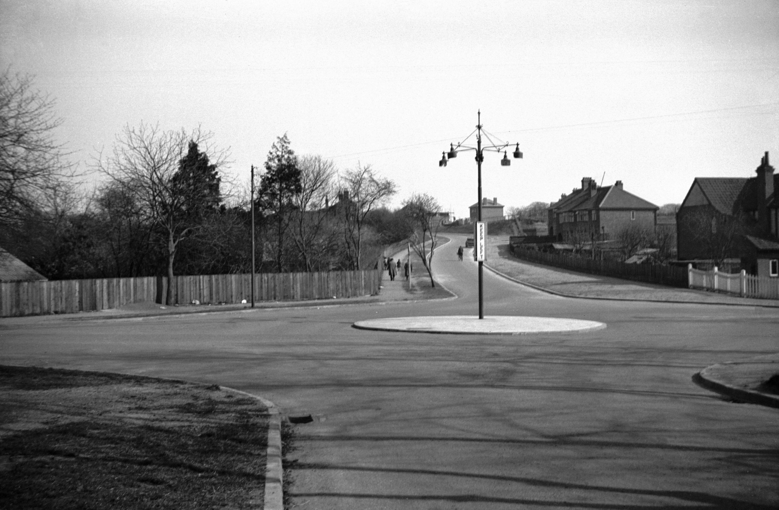
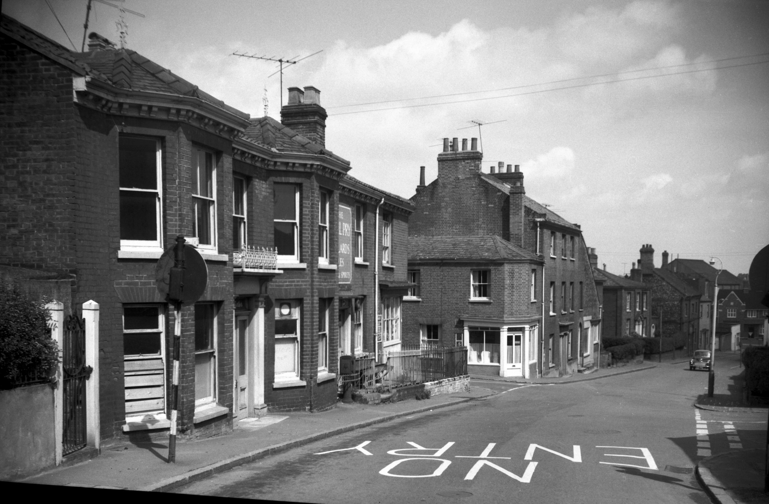
Martineau Lane at Barrett Rd [B789] 1933-10-08
|
|
|
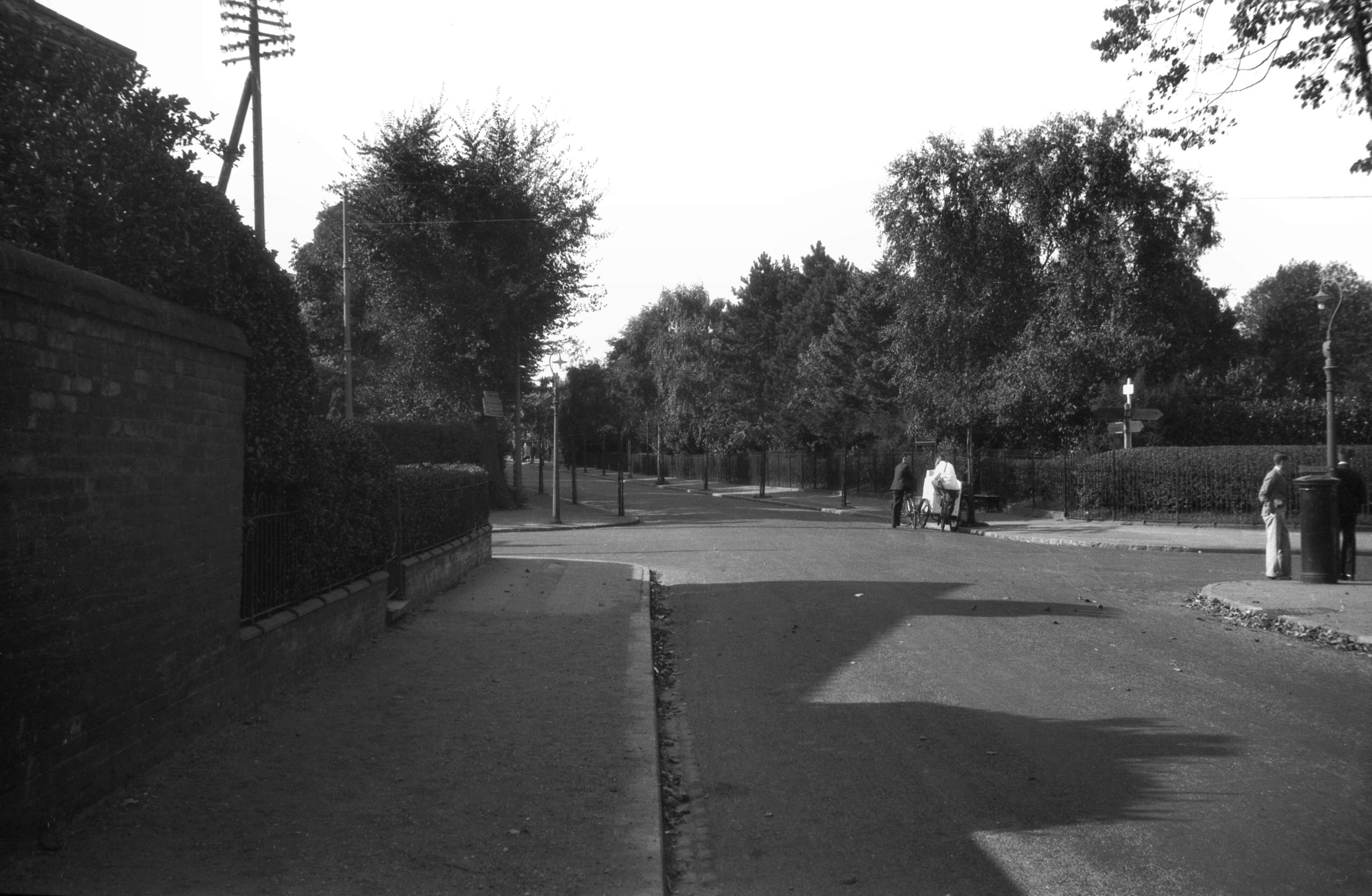
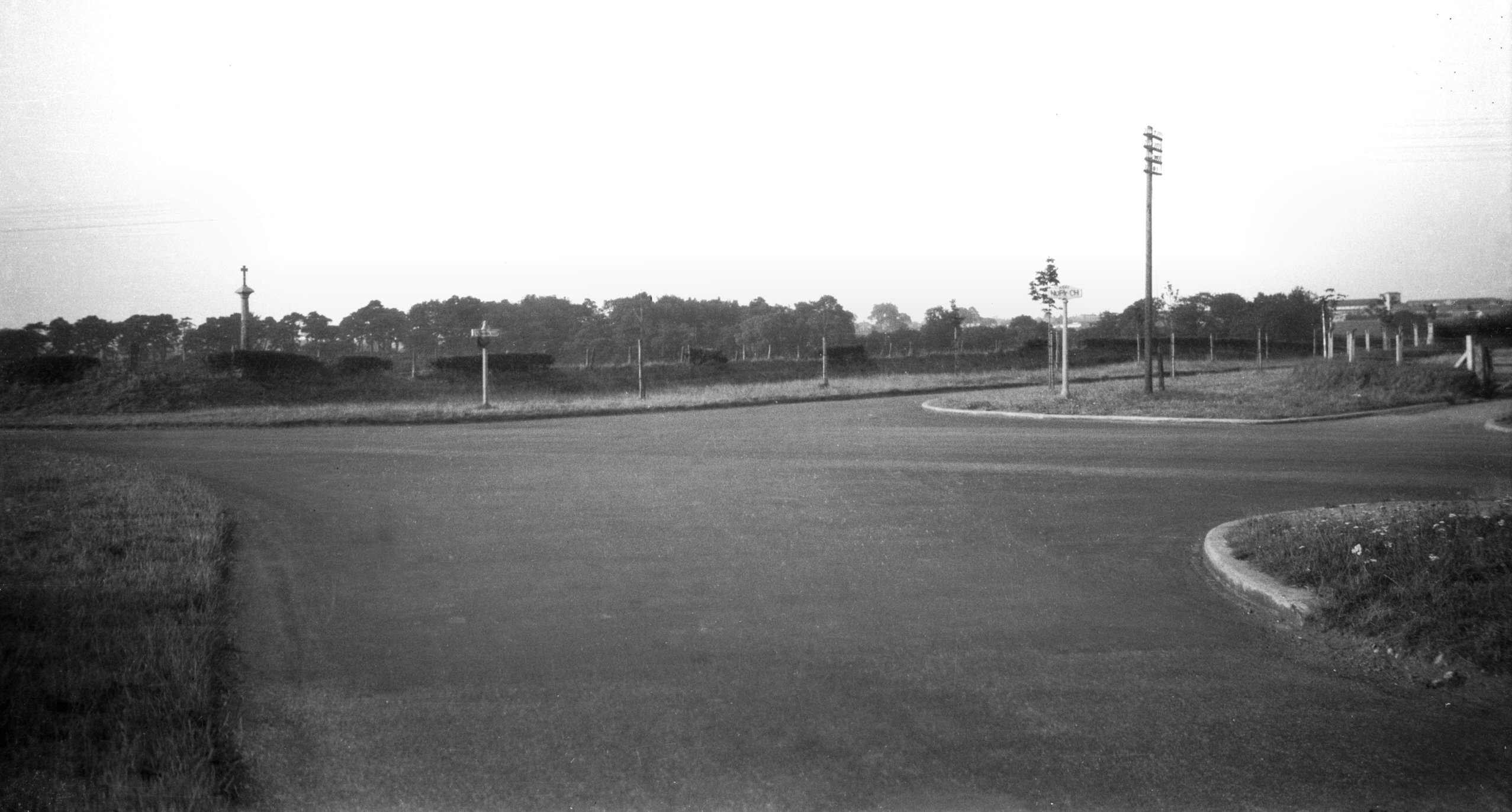
Barrett Rd at Long John Hill [B790] 1933-10-08
|
|
|
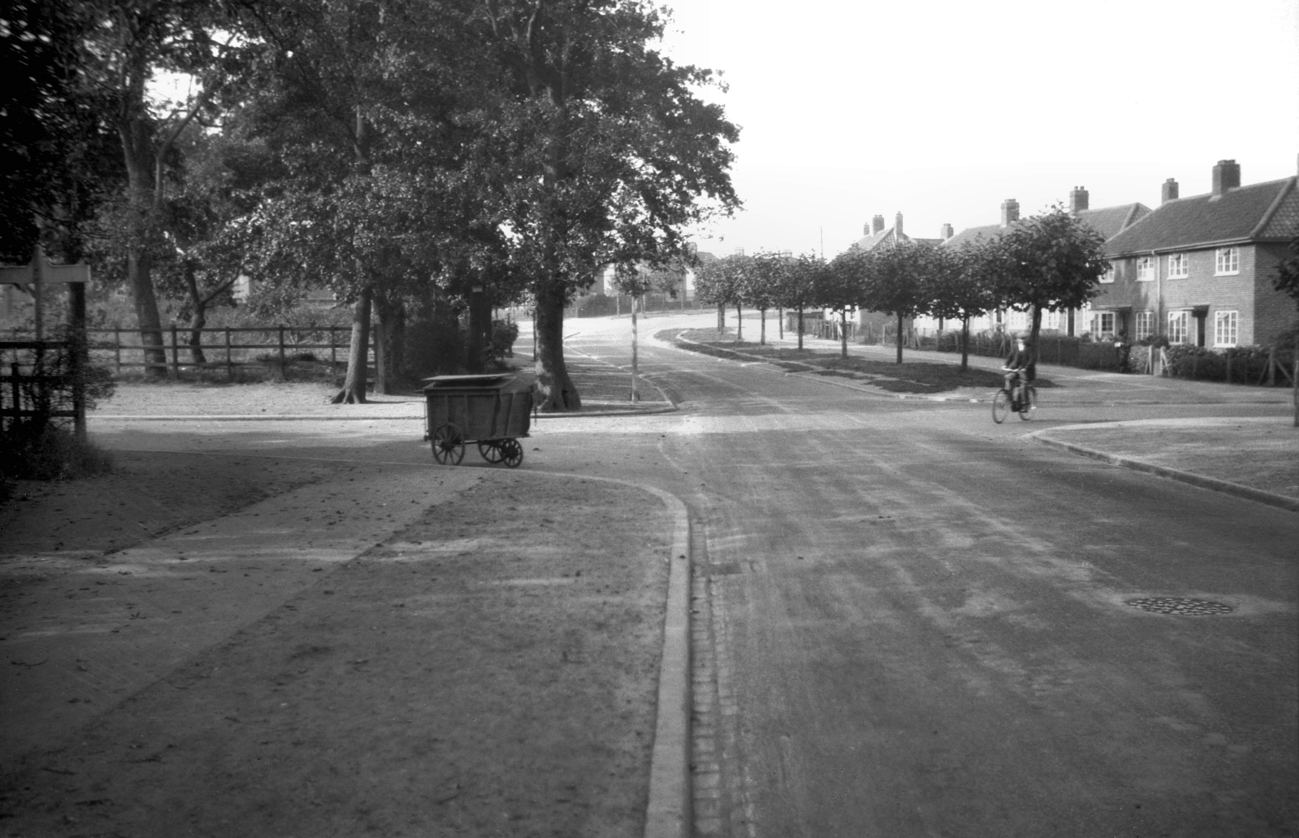
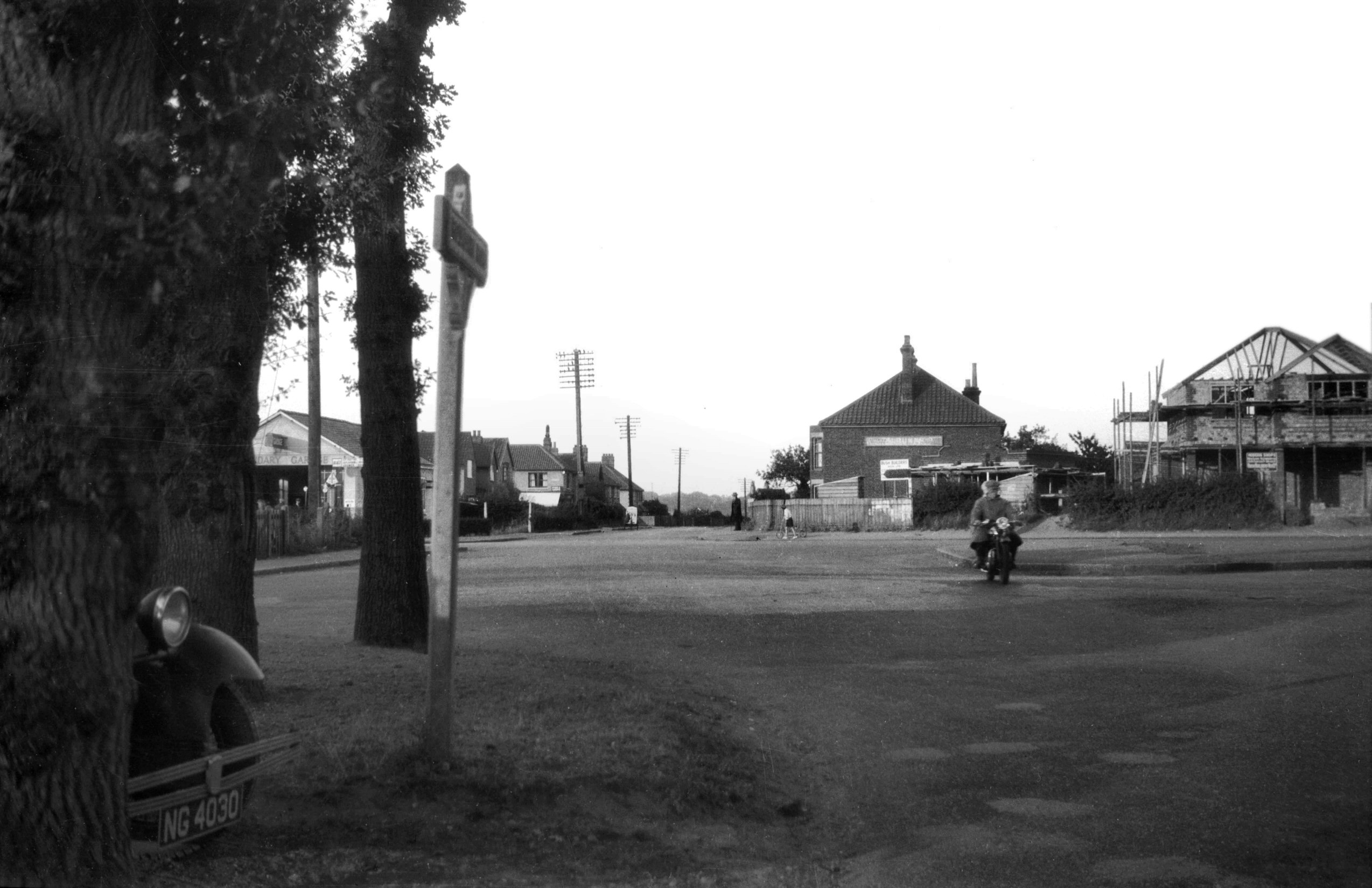
Barrett Rd at Mansfield Lane [B791] 1933-10-08
|
|
|
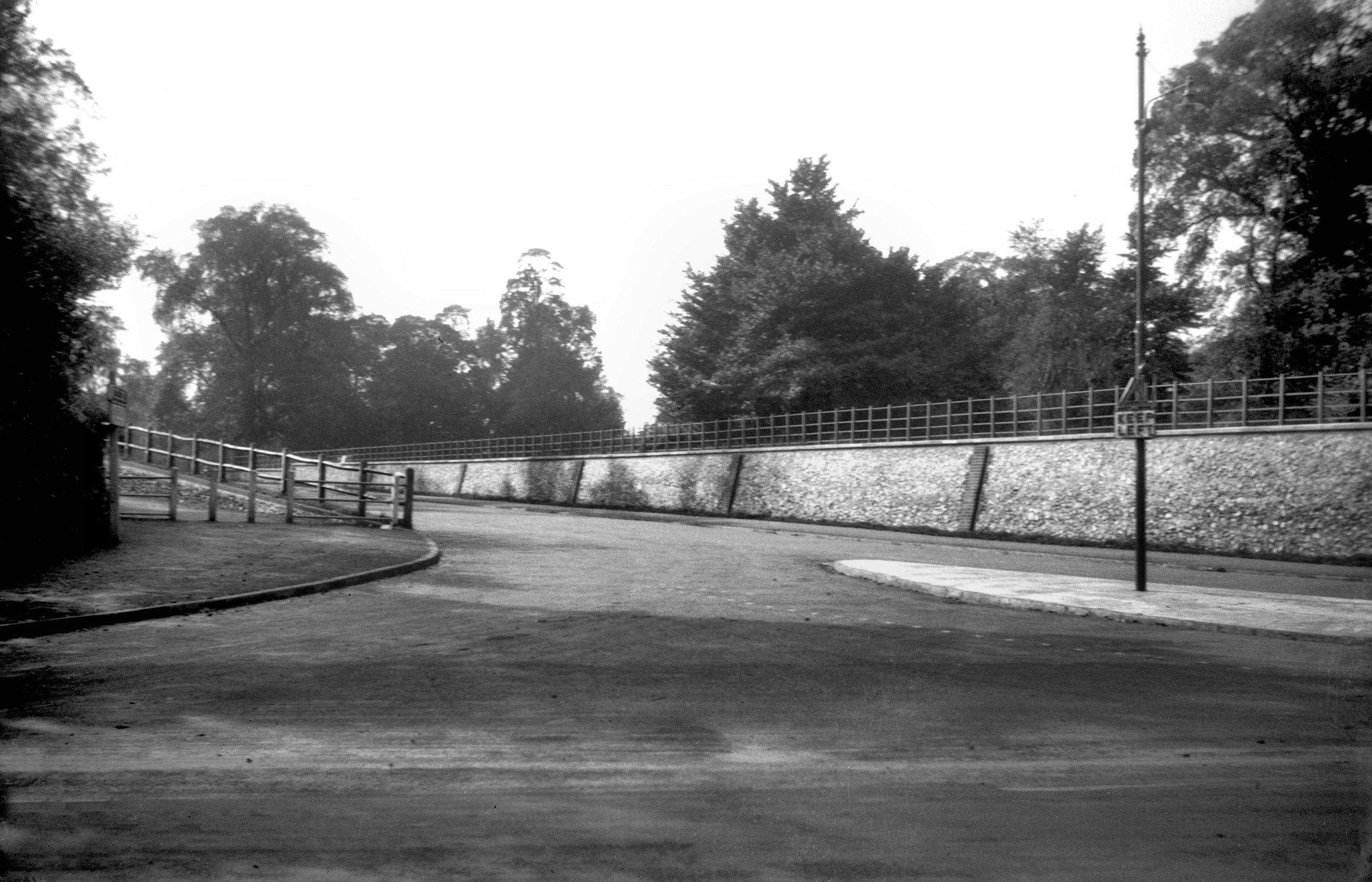
Barrett Rd at Hall Rd [B767] 1933-09-10
Lakenham Rd beyond. |
|
|
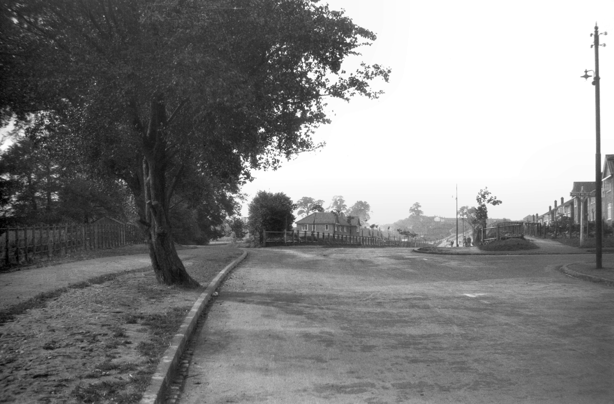
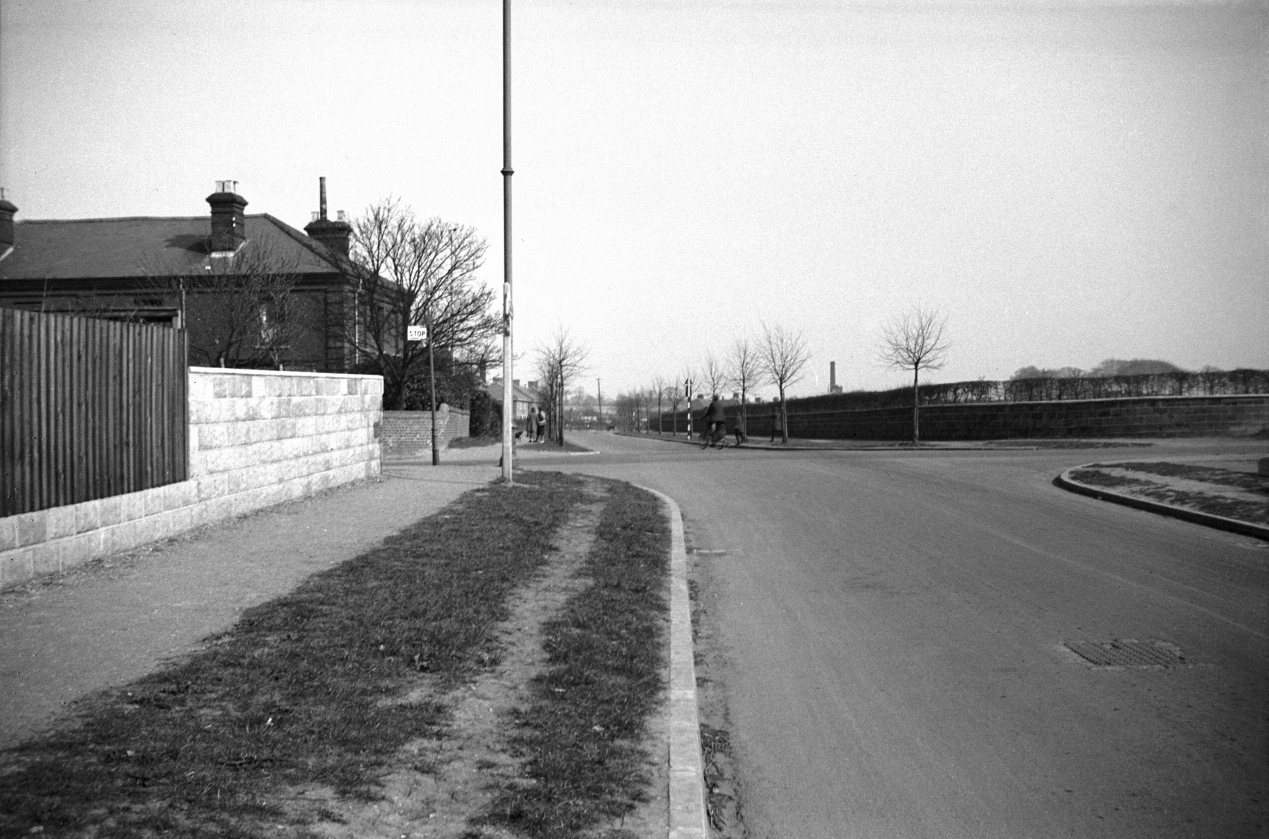
Lakenham Rd at Ipswich Rd [B768] 1933-09-10
Daniel's Rd beyond. |
|
|
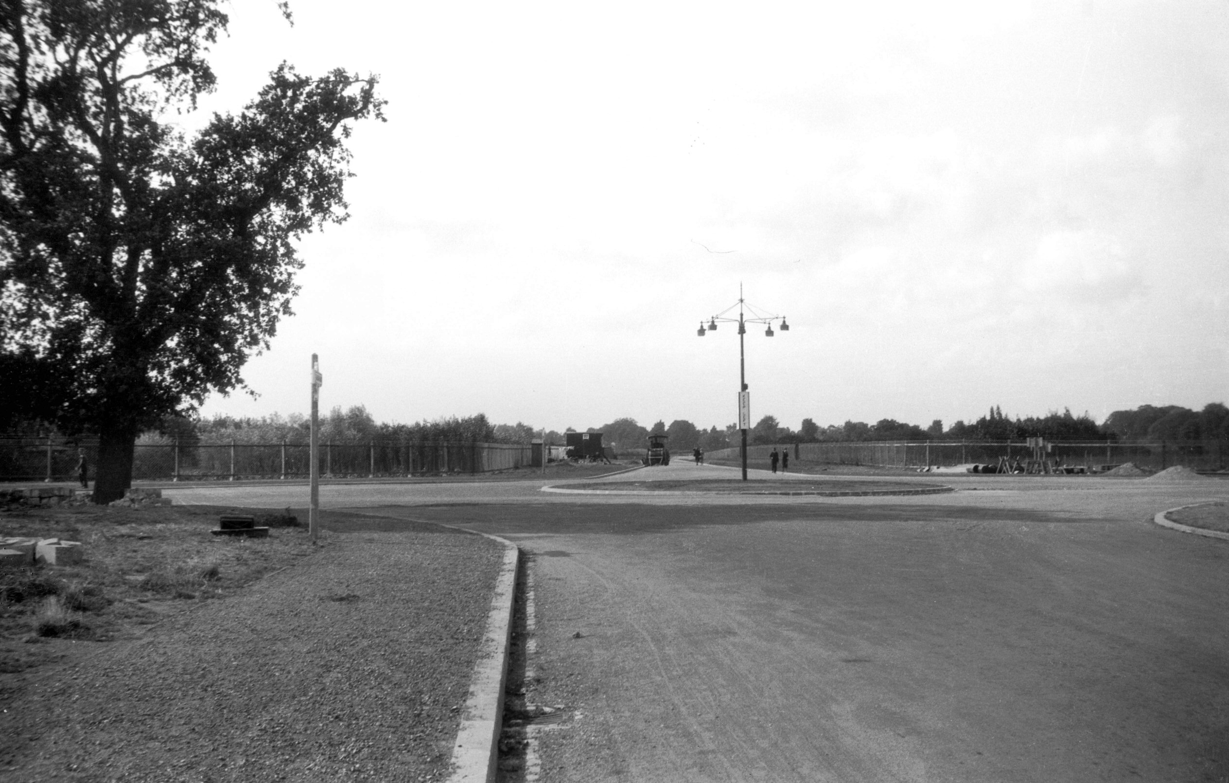
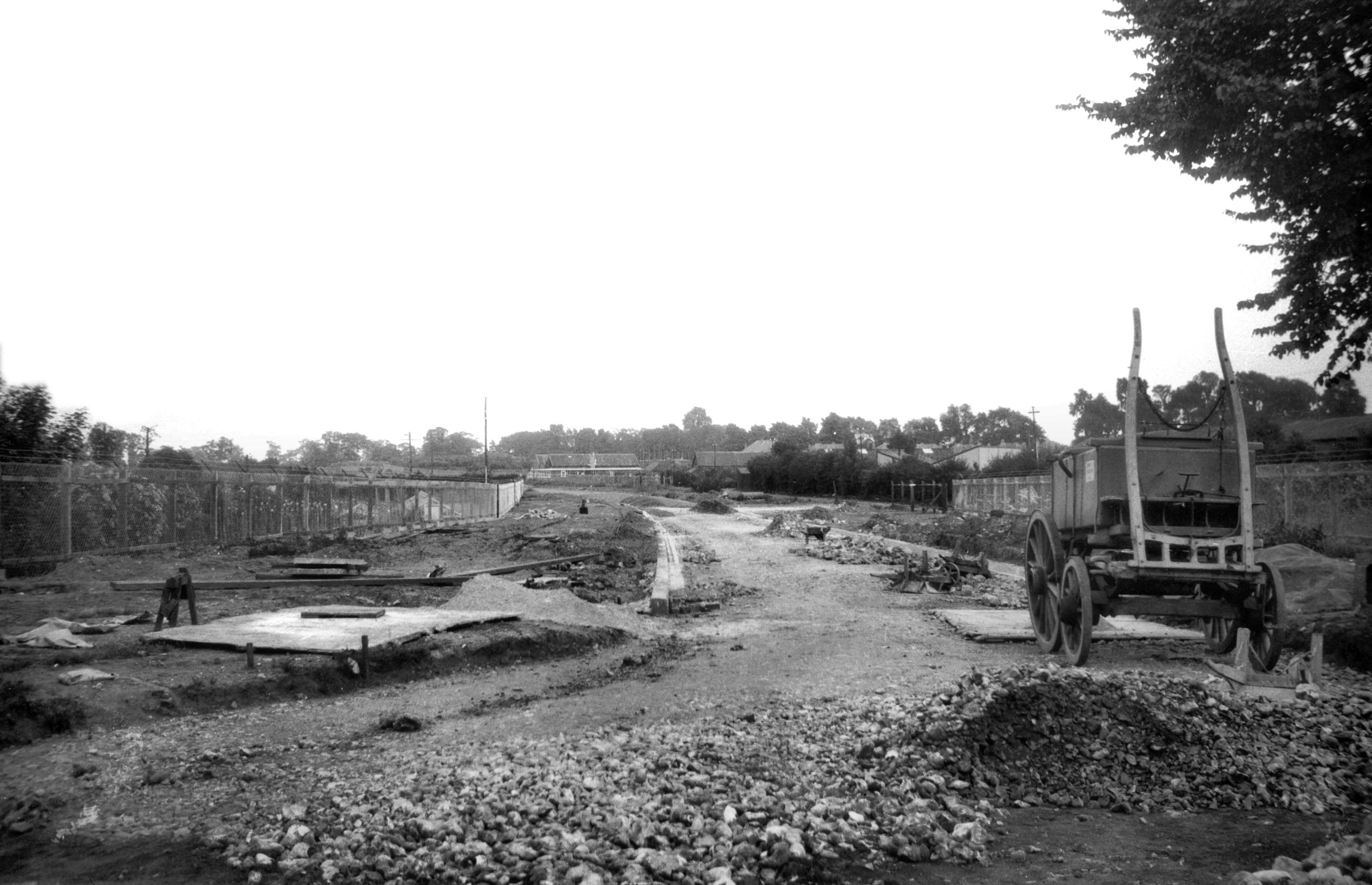
Daniels Rd construction from Newmarket Rd [B637]
1933-07-22
|
|
|
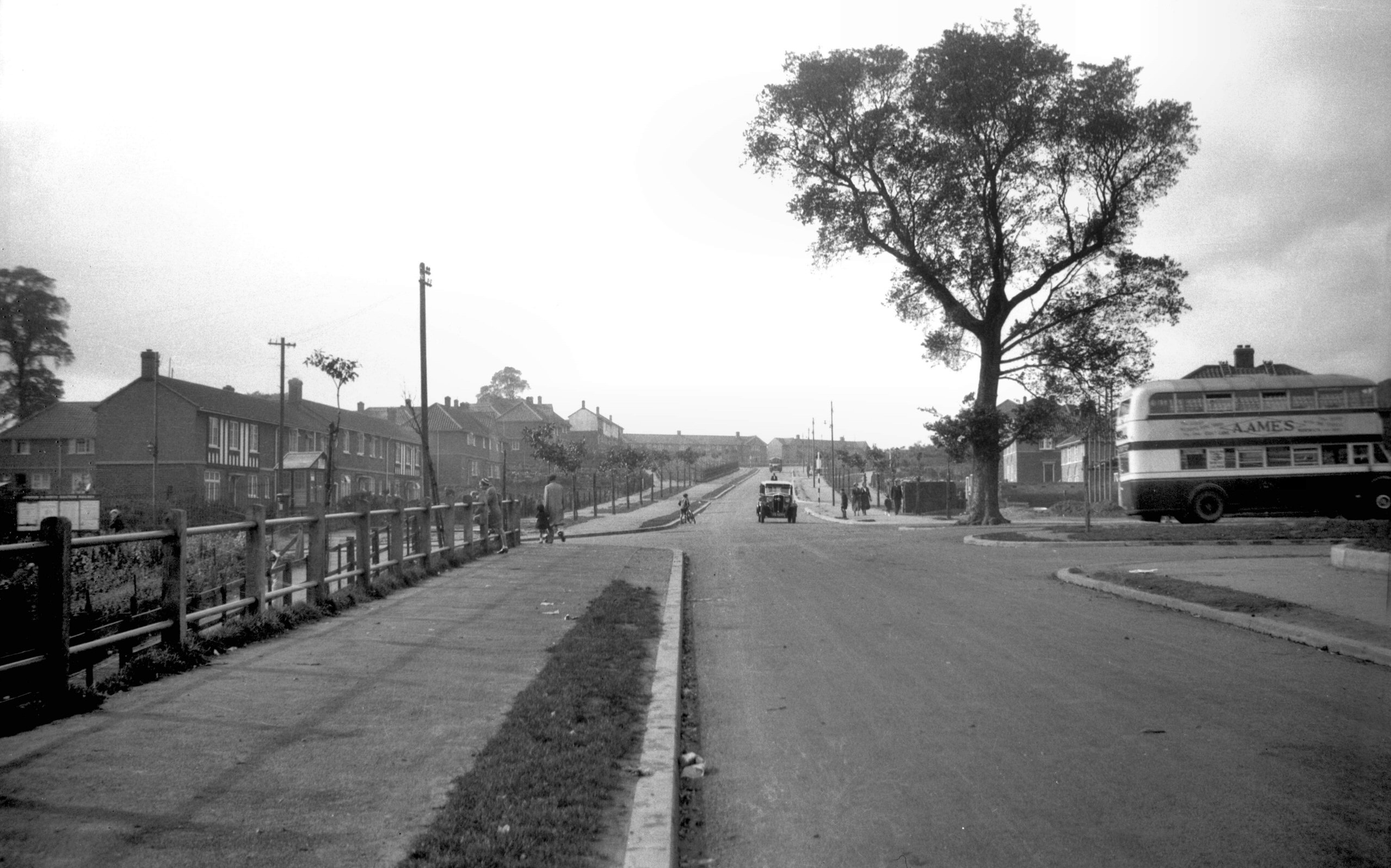
Daniels Rd at Newmarket Rd [B770] 1933-09-10
|
|
|
Daniels Rd construction from Newmarket Rd [B601]
1933-06-28
|
|
|
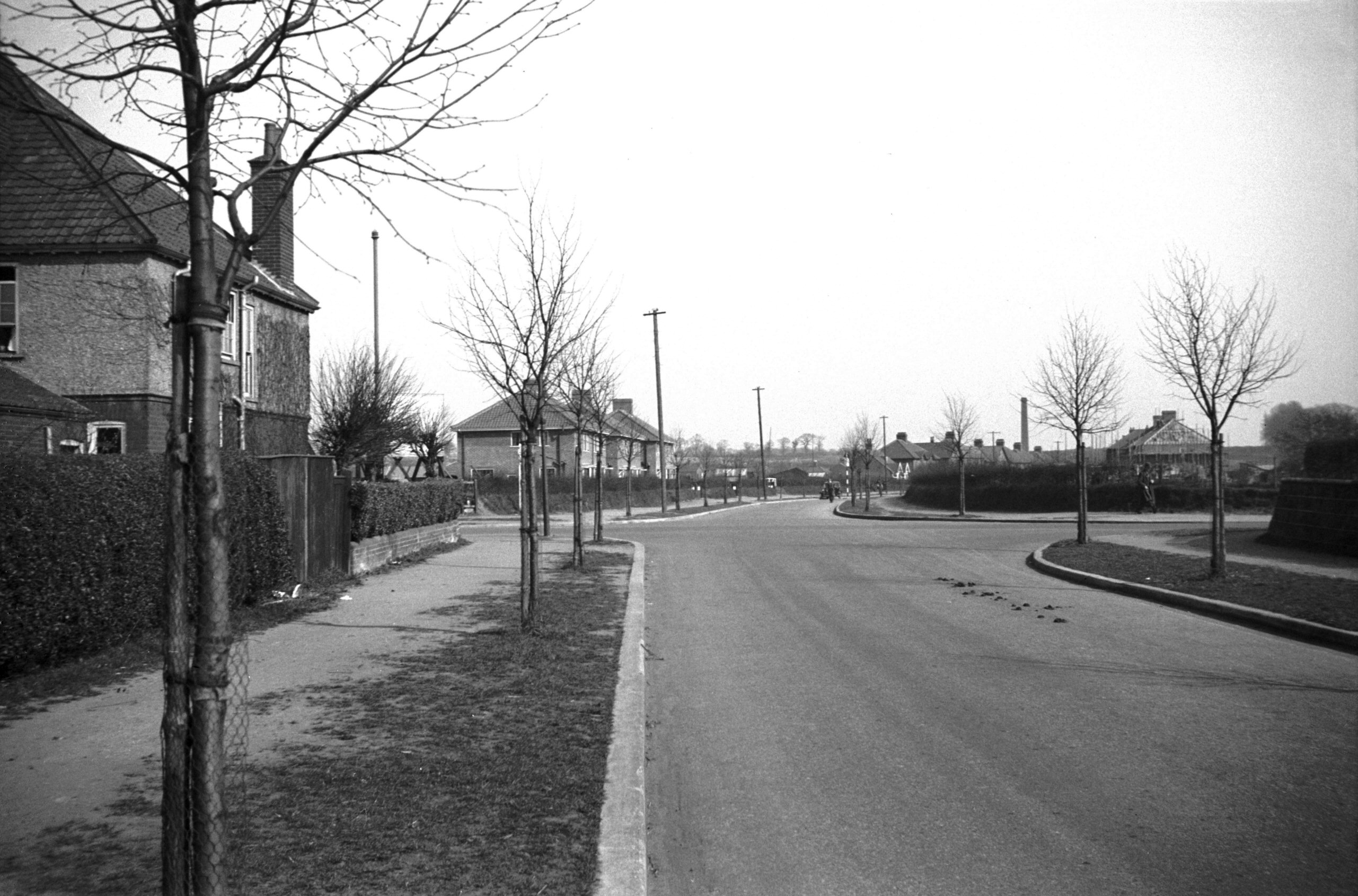
Daniels Rd at Newmarket Rd [B769] 1933-09-10
Mile End Rd beyond. |
|
|
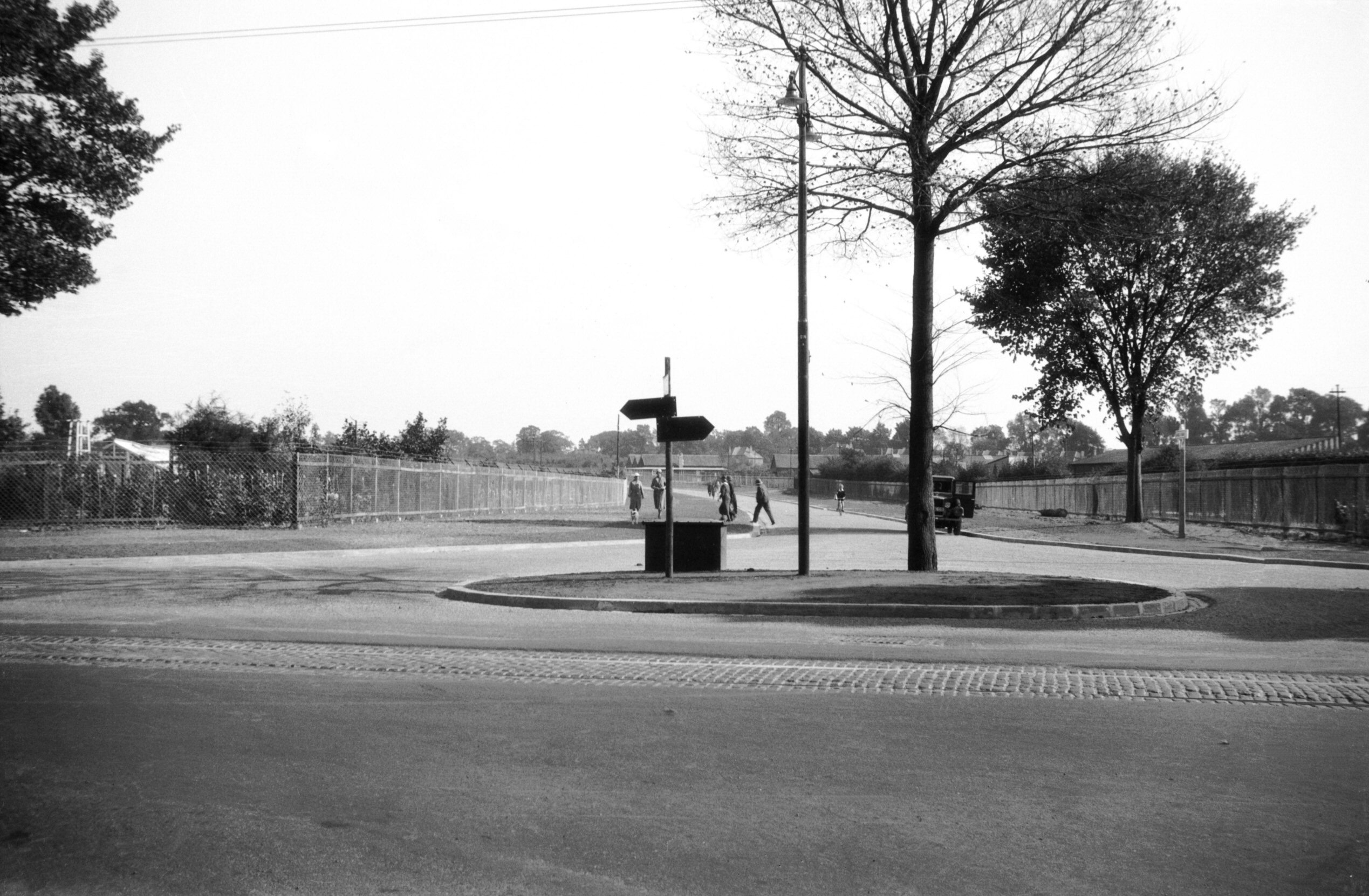
Mile End Rd at Unthank Rd [B771] 1933-09-10
Colman Rd beyond. |
|
|
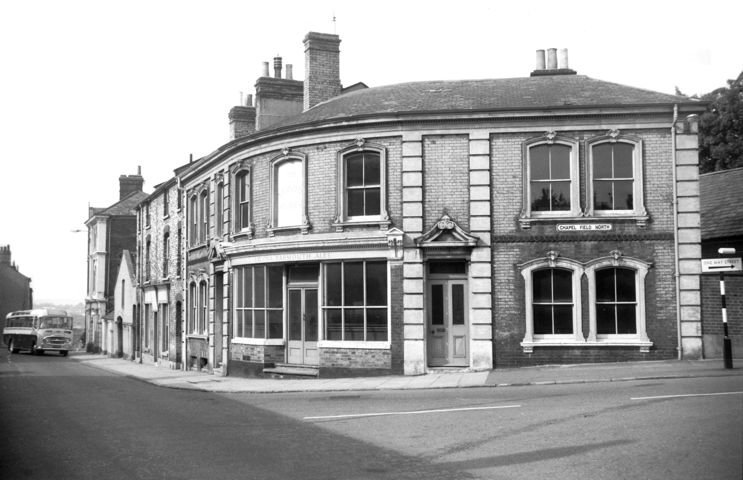
Colman Rd at North Park Ave [B782] 1933-10-05
The scheme of linking existing roads together into a
circular route was commenced in the early 1920's by
extending Colman Rd northward from Sabin Rd (now the
eastern end of South Park Avenue) to Earlham Rd at a
point immediately opposite Farrow Rd. This followed the
line of an established footpath across what were known as
the "Three Fields". |
|
|
Colman Rd at George Borrow Rd [B657] 1933-08-10
And Elizabeth Fry Rd. |
|
|
Colman Rd at The Avenues [B649] 1933-07-30
|
|
|
Colman Rd at Earlham Rd [B650] 1933-07-30
Farrow Rd beyond. |
|
|
Farrow Rd at Bowthorpe Rd [B651] 1933-07-30
Guardian Rd beyond. |
|
|
Guardian Rd at Dereham Rd [B652] 1933-08-05
Sweet Briar Rd beyond. Work was commenced on the new road
between Bracondale and Newmarket Rd towards the end of
the 1920's, a scheme designed with a view to relieving
unemployment. At about the same time work was also taking
place on that section of the road between Guardian Rd and
Sweet Briar Lane. This was commenced in 1930. |
|
|
Sweet Briar Rd at Hellesdon Hall Rd [B653] 1933-08-05
|
|
|
Sweet Briar Rd at Drayton Rd [B654] 1933-08-05
Boundary Rd beyond. |
|
|
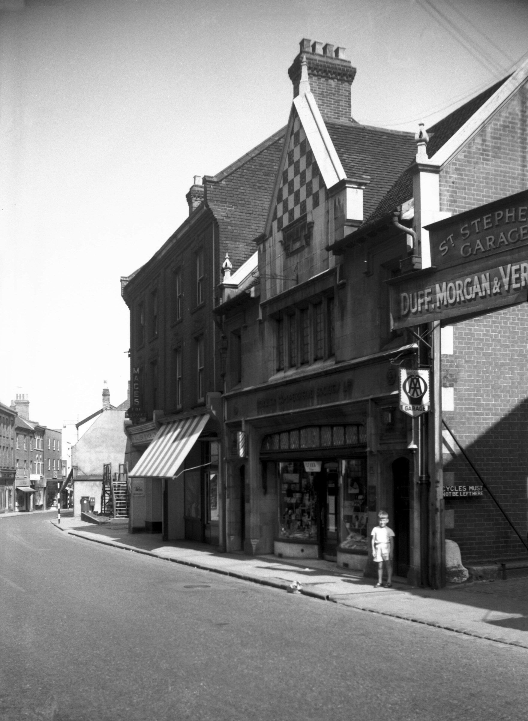
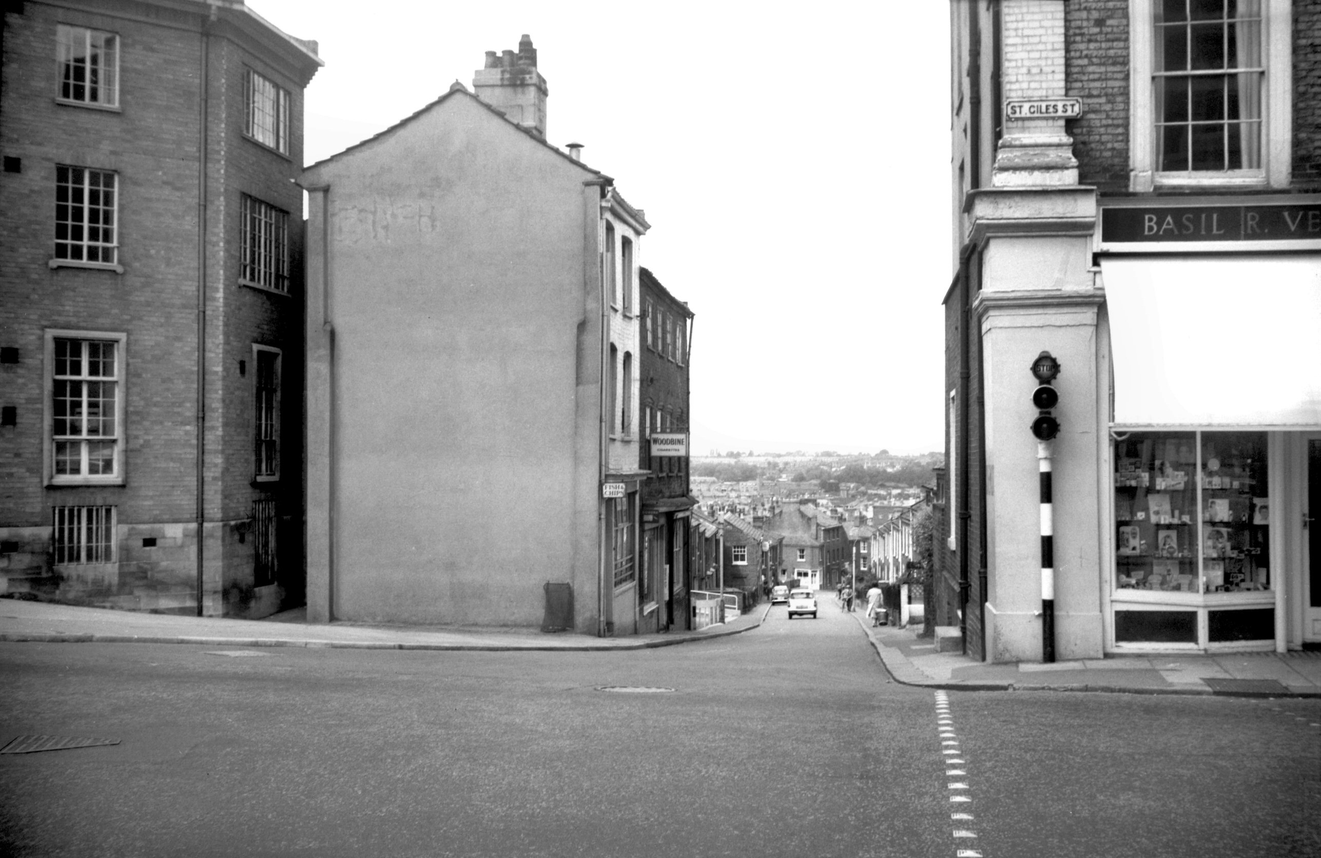
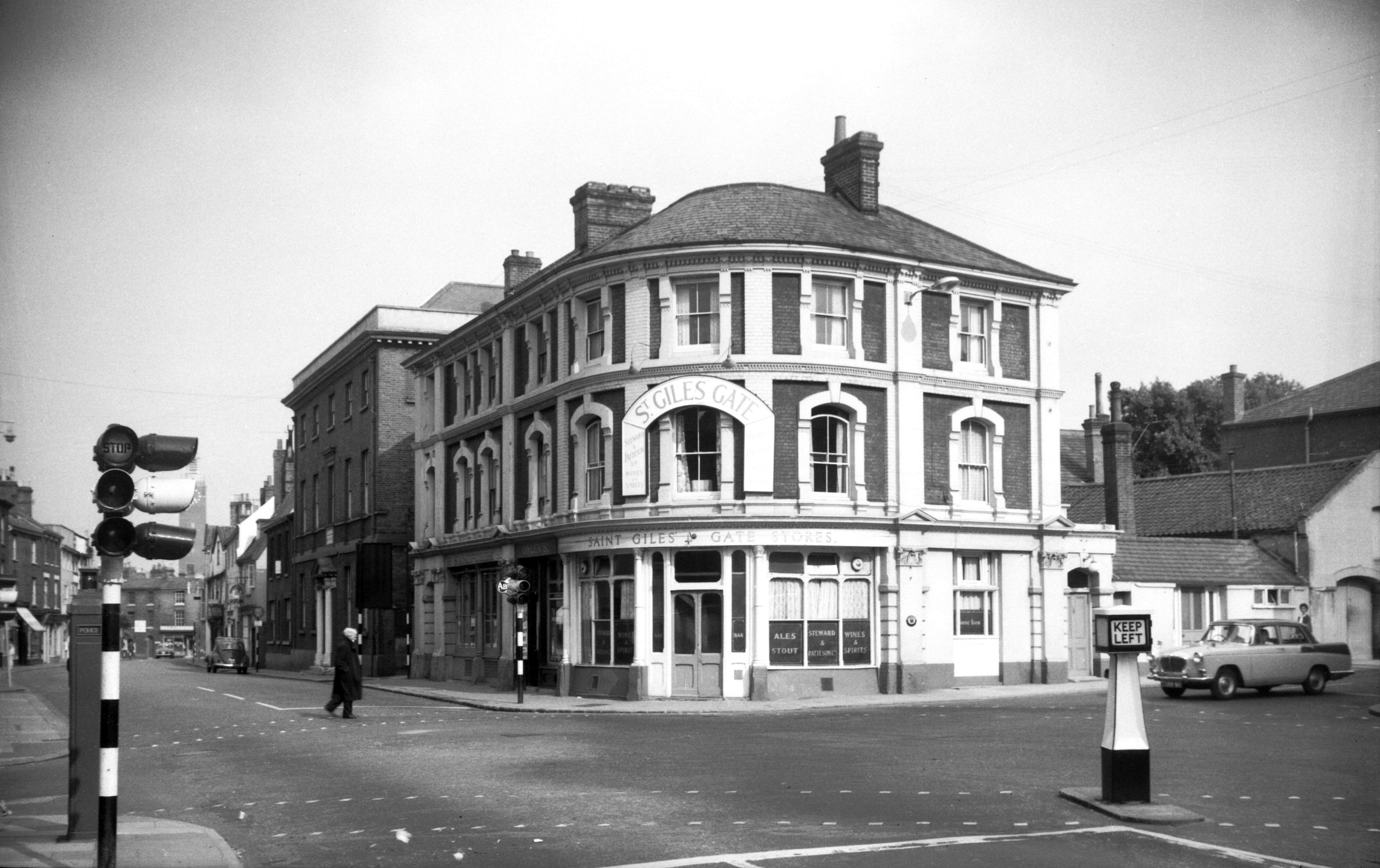
Boundary Rd at Aylsham Rd [B655] 1933-08-05
Until the construction of Chartwell Rd, linking Mile
Cross Lane, in 1962, the signposted route of the ring
road was by Oak Lane, George Hill and School Lane. An
alternative and less circuitous route was by Woodcock Rd
and Wall Rd. |
|
|
Woodcock Rd at Aylsham Rd [0076] 1934-04-05
|
|
|
Woodcock Rd at Catton Grove Rd [0077] 1934-04-05
|
|
|
Woodcock Rd Wall Rd at St Clement's Hill [0078]
1934-04-05
|
|
|
Wall Rd at Constitution Hill [0079] 1934-04-05
|
|
|
Wall Rd at Sprowston Rd [0080] 1934-04-05
|
|
|
Mousehold Lane at Sprowston Rd [0611] 1935-08-05
The year 1949 saw the widening (on its south side) of a
small part of Mousehold Lane. From Sprowston Rd to the
Duke of Norfolk Public House (a distance of about
one-eighth of a mile) the overall width was increased
from 28 feet to 50 feet, the carriageway being widened
from 19 feet to 30 feet. In 1963 the widening of
Mousehold Lane was completed. |
|
|
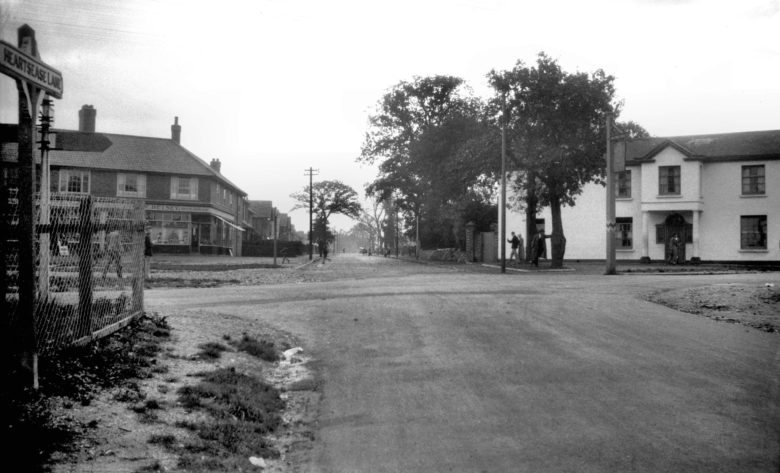
Mousehold Lane at Salhouse Rd [B773] 1933-09-10
Heartsease Lane beyond. Gurney Rd right. |
|
|
Heartsease Lane at Plumstead Rd [B792] 1933-10-08
Harvey Lane beyond. |
|
|
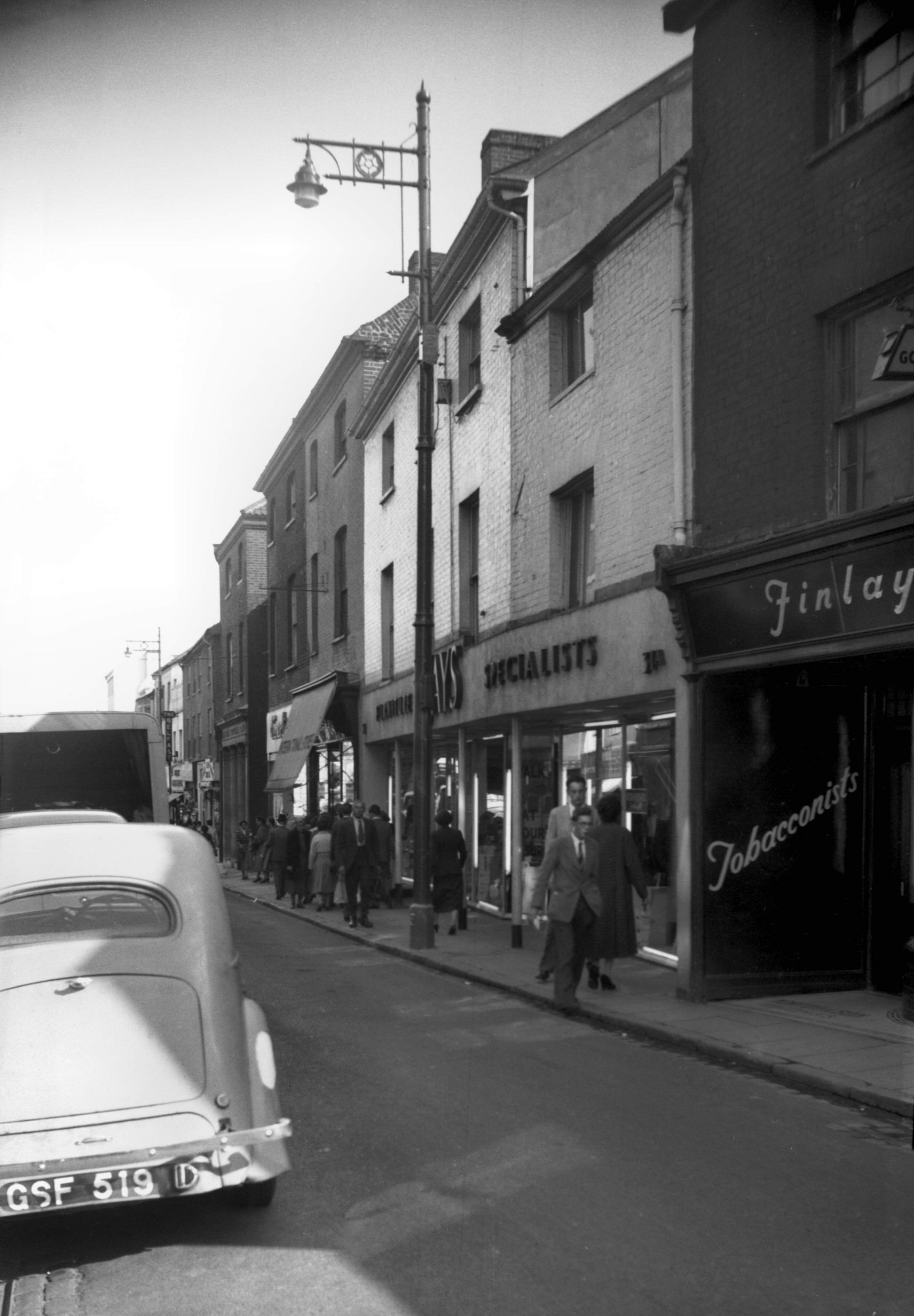
Harvey Lane at Thorpe Rd [B774] 1933-09-10
Because of the railway, river and extensive industrial
development, the south-eastern section had to take a
devious route via Thorpe Rd, Carrow Rd, King St and
Bracondale. |
|
|
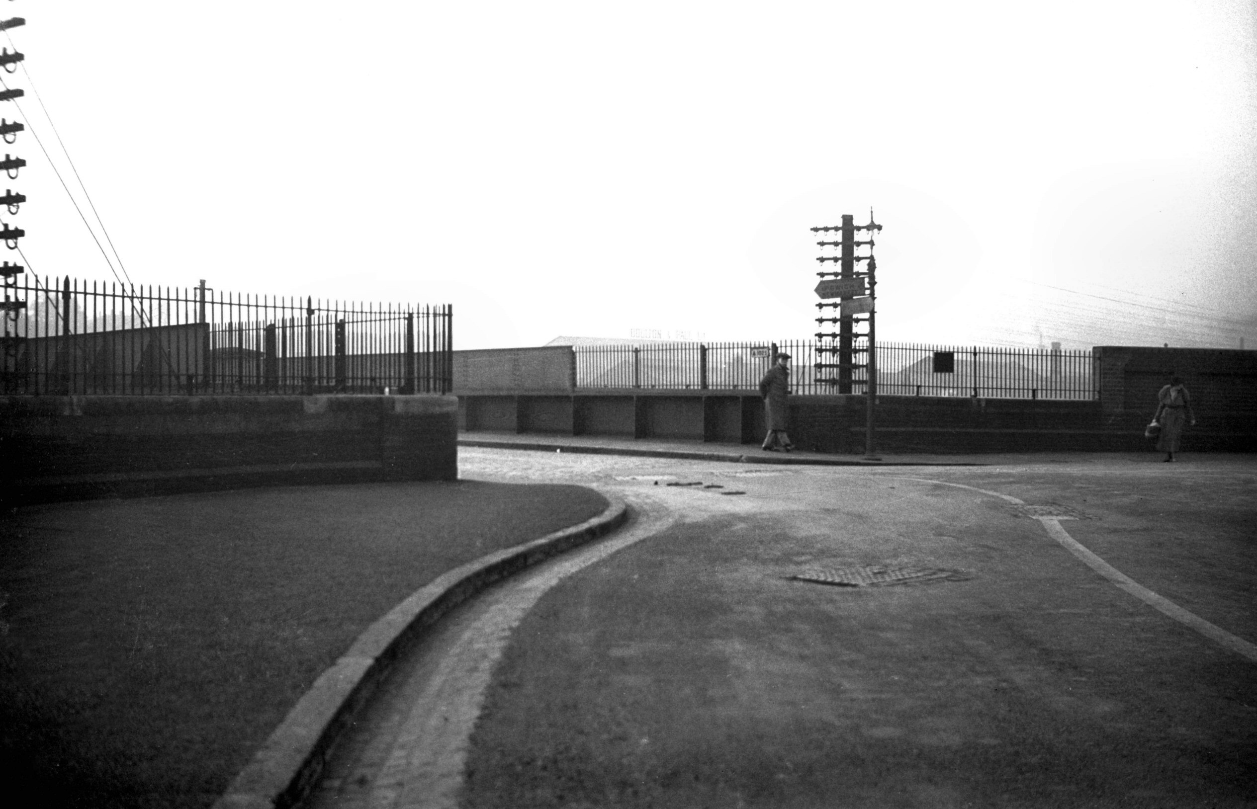
Thorpe Rd at Carrow Rd [0042] 1934-02-22
|
|
|
Carrow Rd at Clarence Rd bridge over rail [0041]
1934-02-22
|
|
|
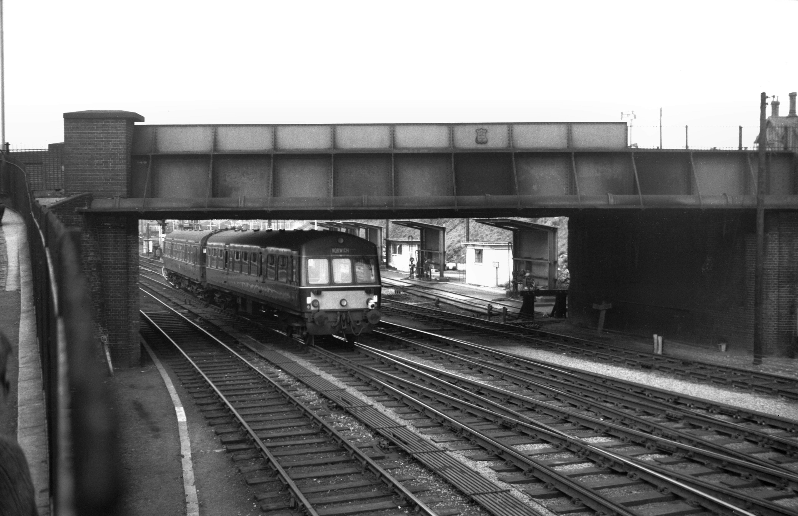
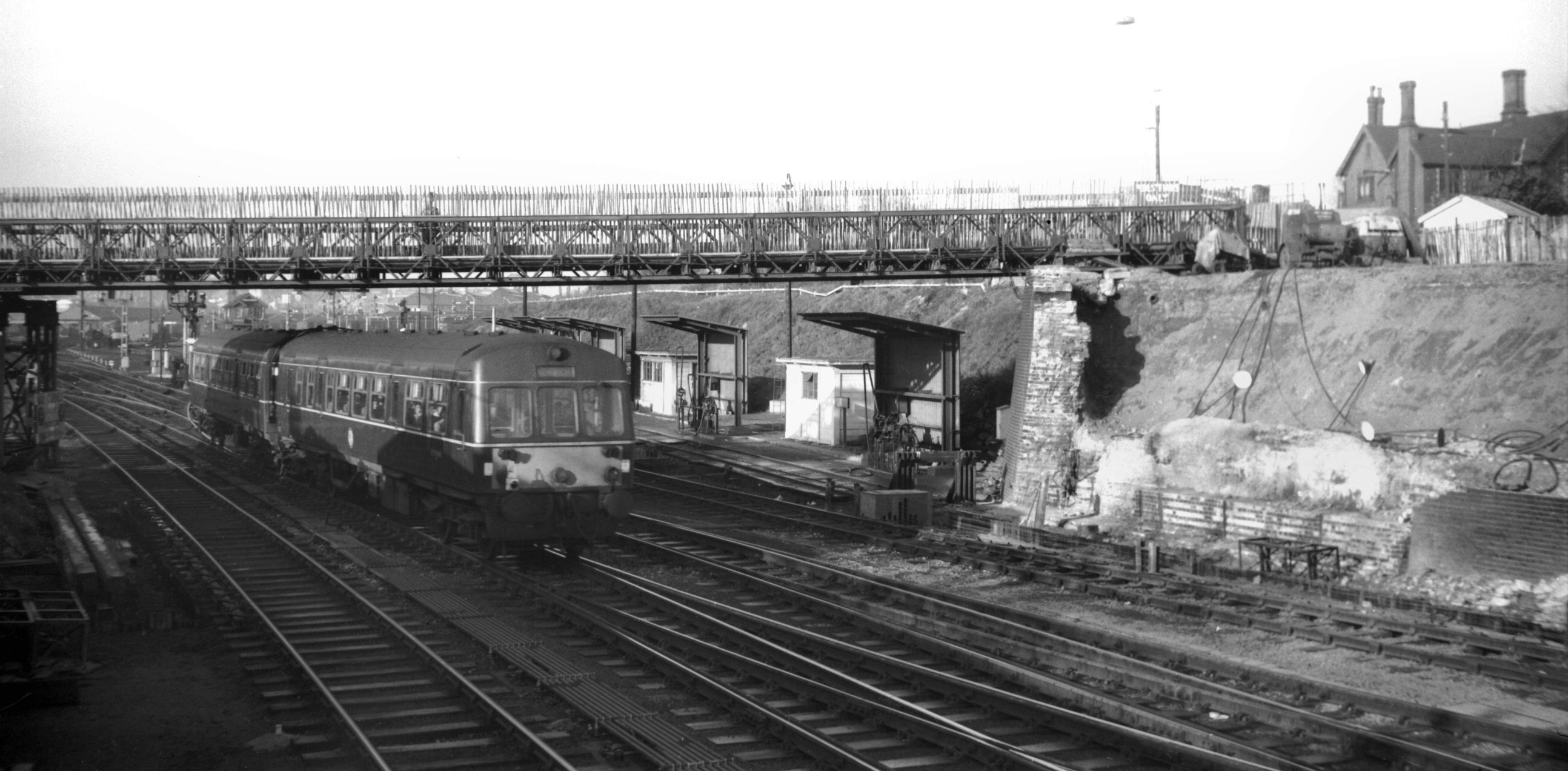
Carrow Rd rail bridge [4760] 1964-04-25
Built 1892 by Josiah Westwood and Co. |
|
|
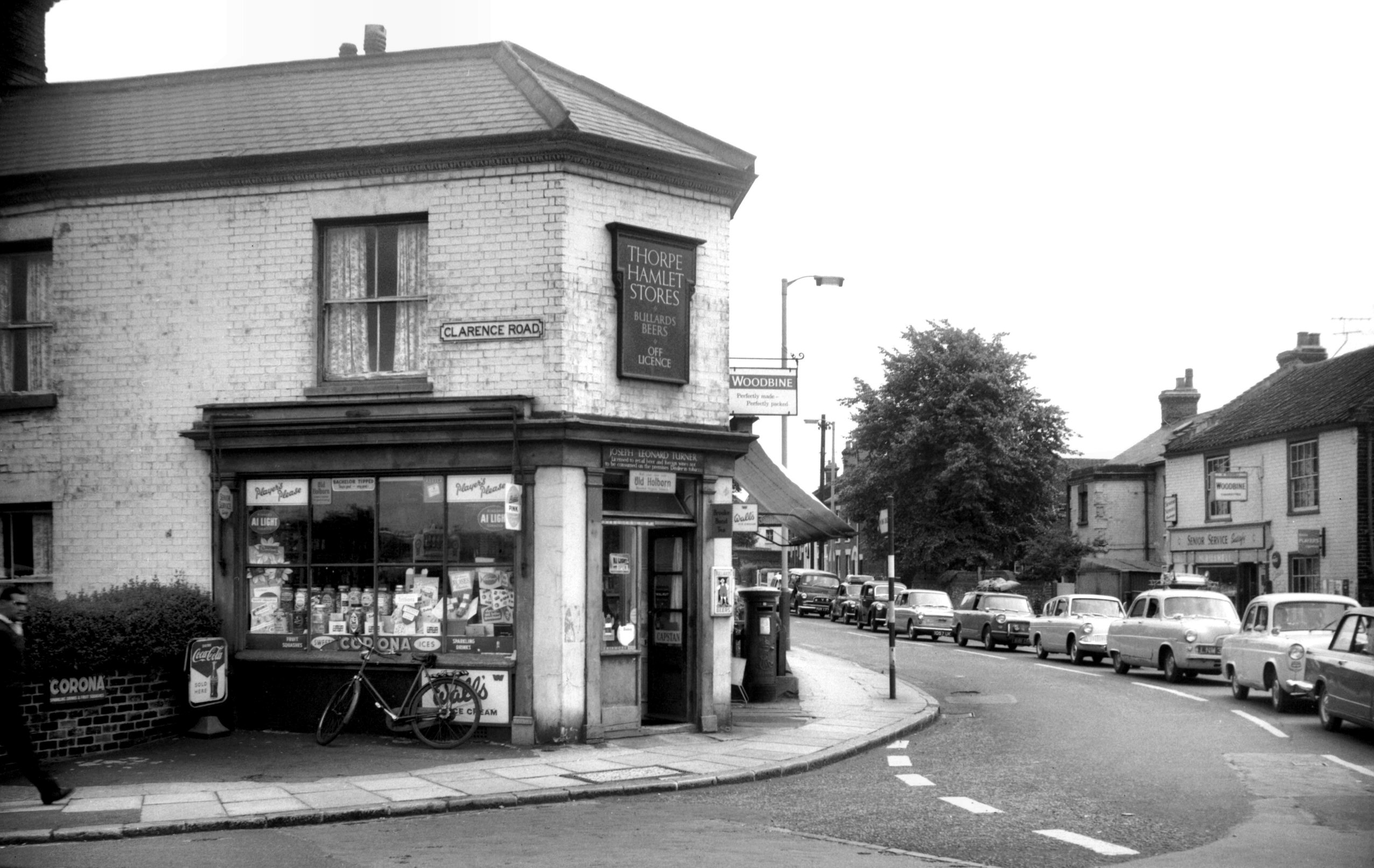
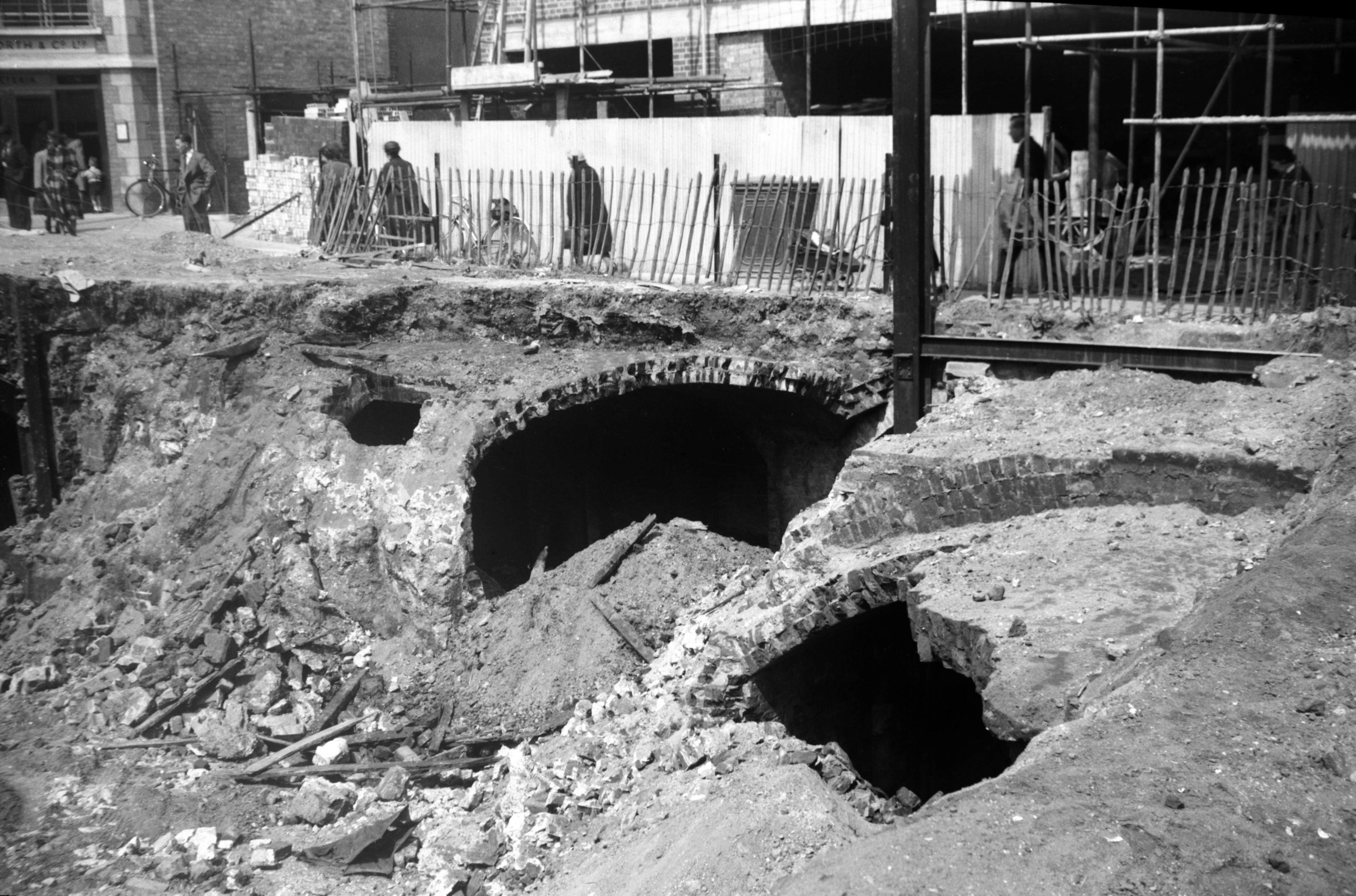
Carrow Rd Clarence Rd Thorpe Hamlet Stores [4805]
1964-08-08
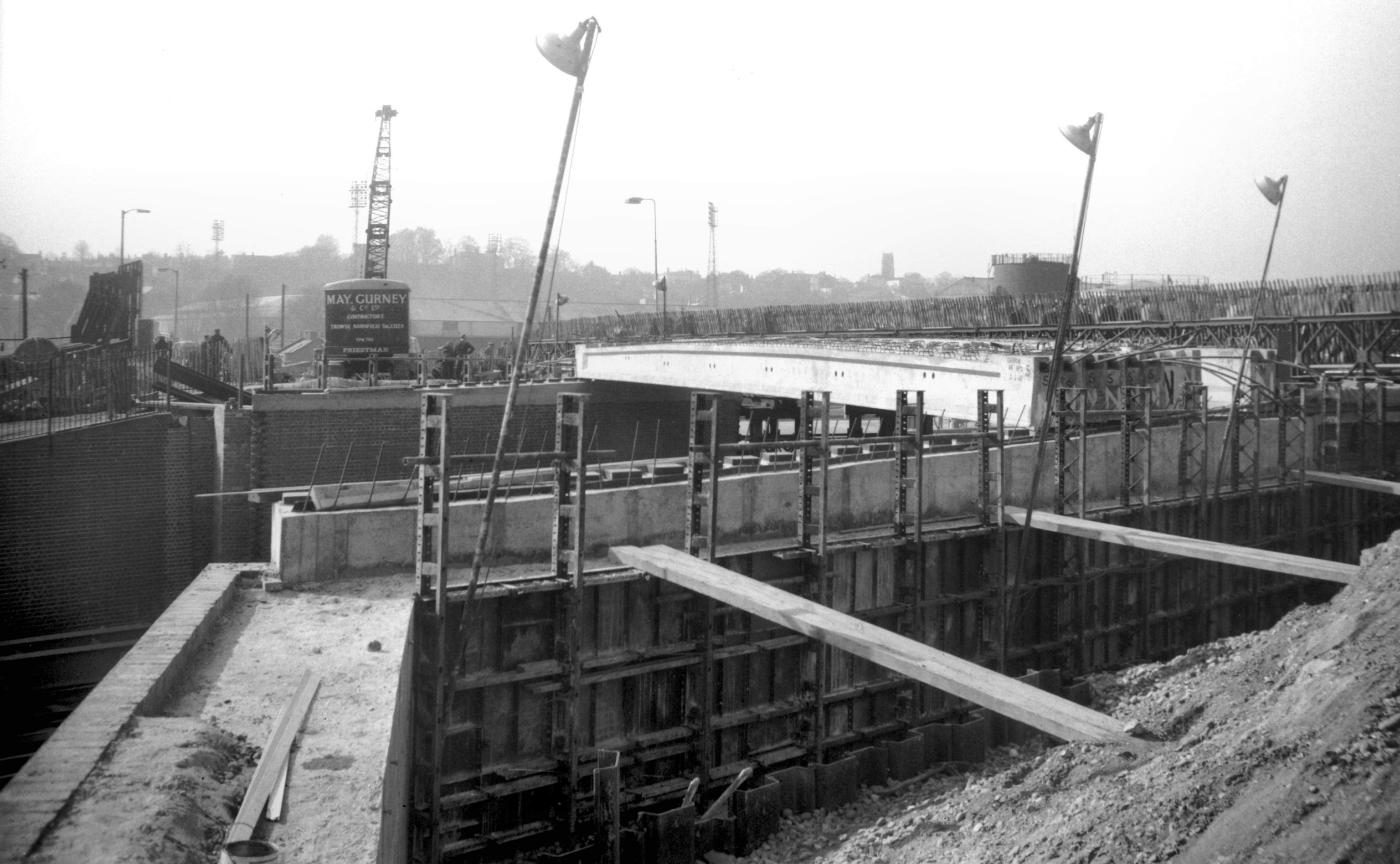
In 1964-65 work went ahead in replacing the bridge
spanning the railway at Carrow Rd (built 1892 by Josiah
Westwood and Co). The need had long been felt for a wider
structure, and one placed at as less acute angle to the
traffic flow. At the same time its height was raised
several feet to allow for future electrification of the
railway. The "Thorpe Hamlet Stores", at the
junction of Carrow and Clarence Rds, was demolished to
make space for the improvement. |
|
|
Carrow Rd temporary footbridge over railway [4876]
1964-11-28
|
|
|
Carrow Rd rail bridge reconstruction [4885]
1965-03-13
|
|
|
Carrow Rd rail bridge SE side [6214] 1981-07-21
|
|
|
Carrow Rd at Kerrison Rd [0040] 1934-02-22
|
|
|
Carrow Rd at King St [0050] 1934-03-04
|
|
|
King St at Bracondale [0039] 1934-02-22
|
|
|
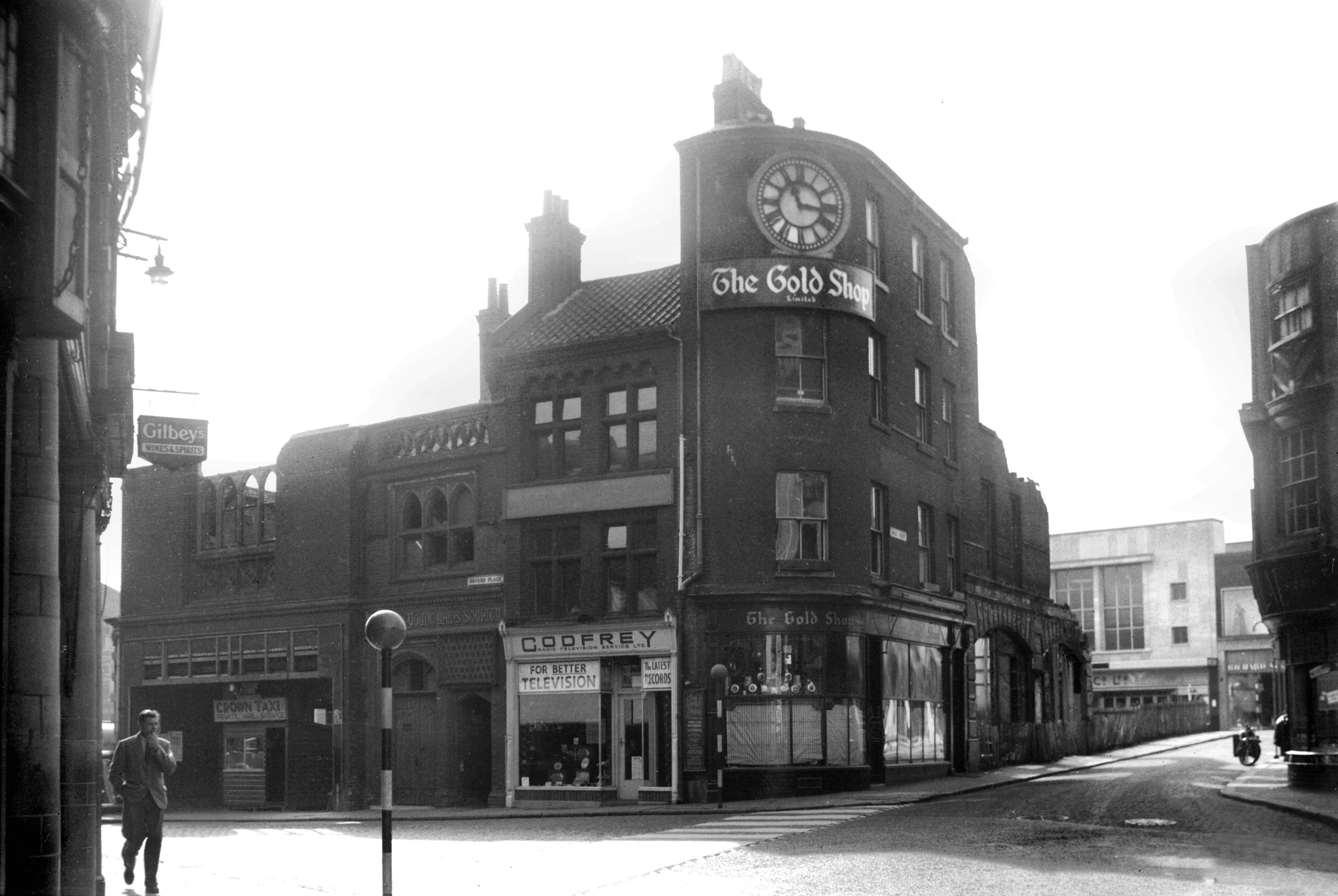
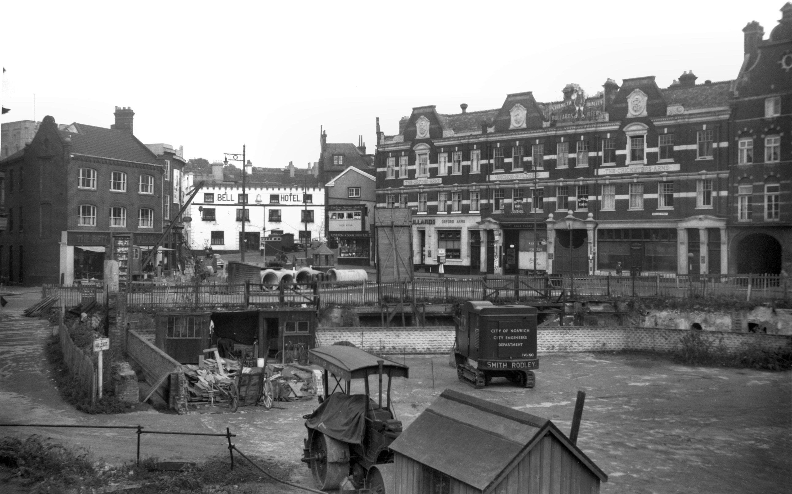
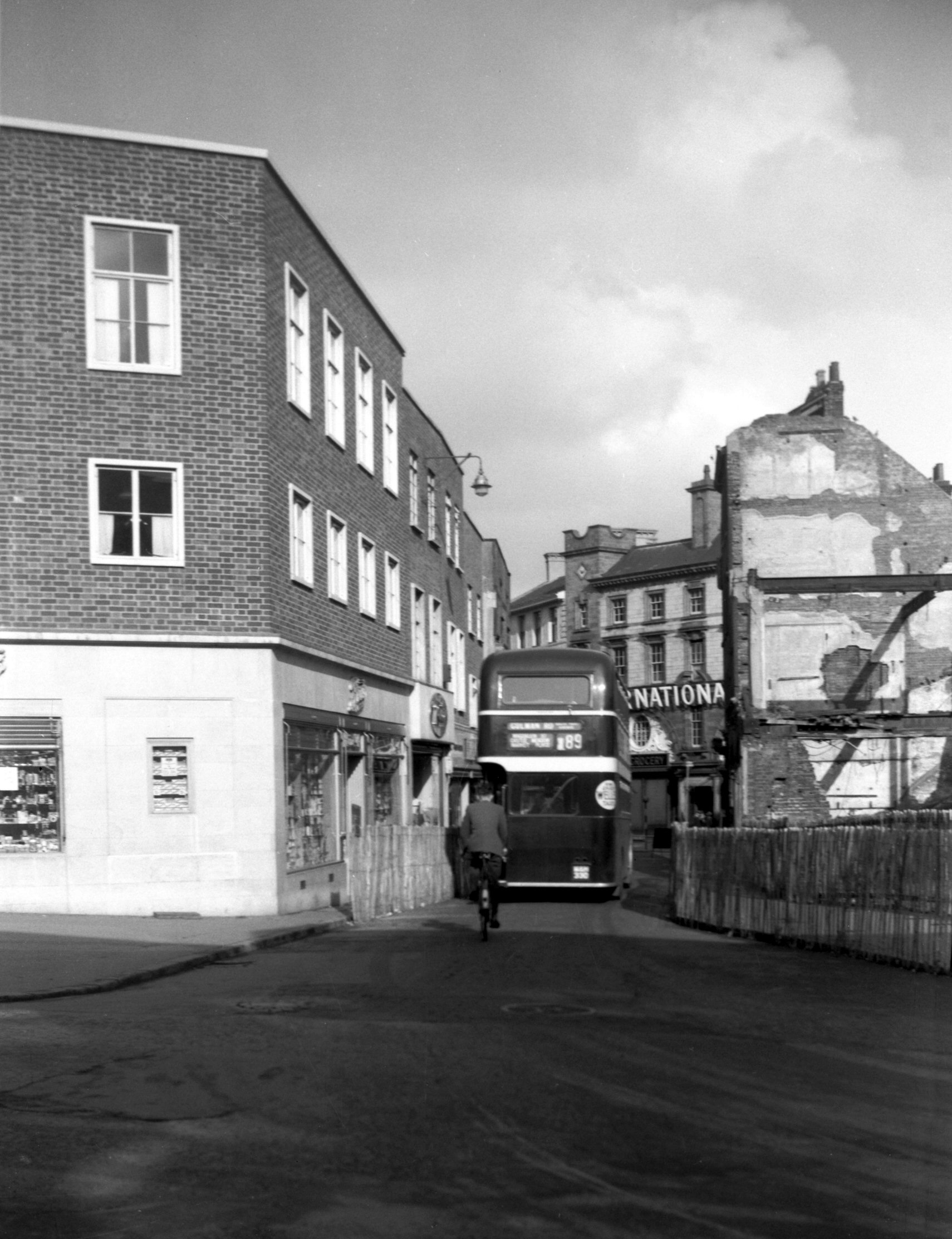
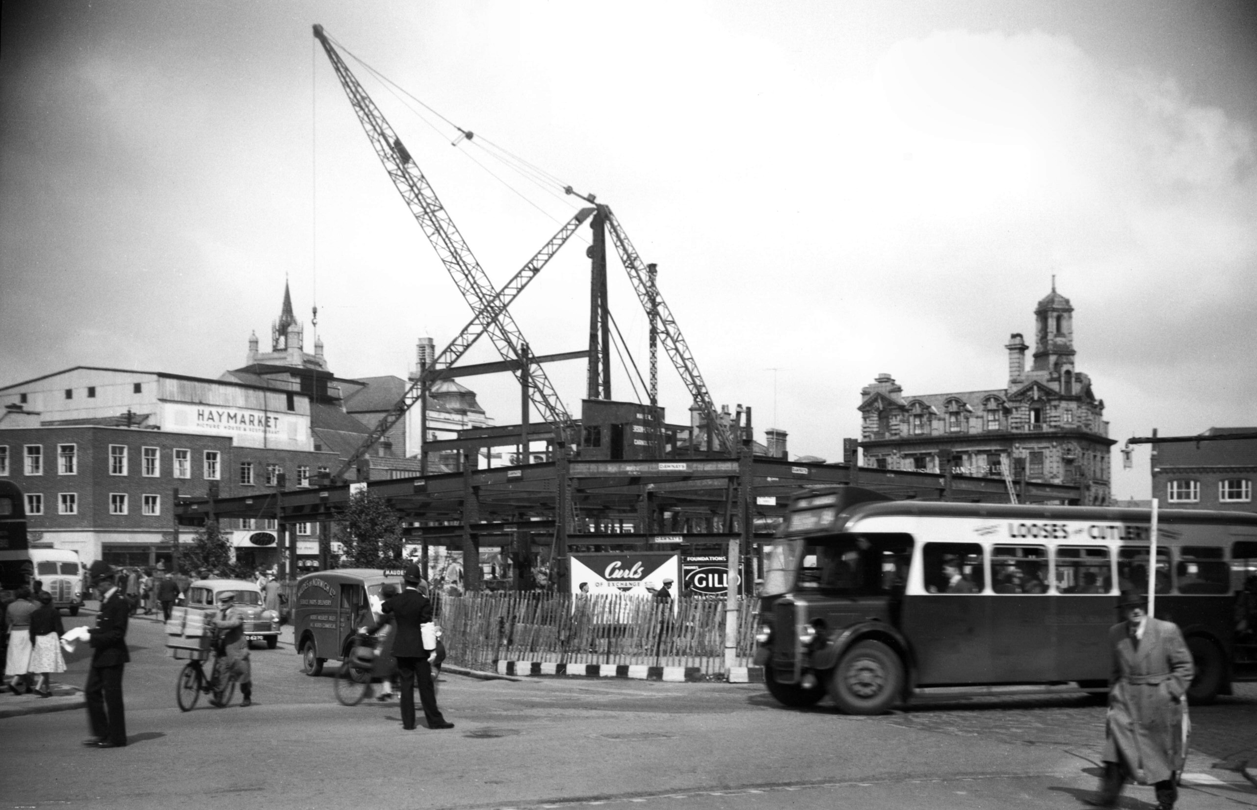
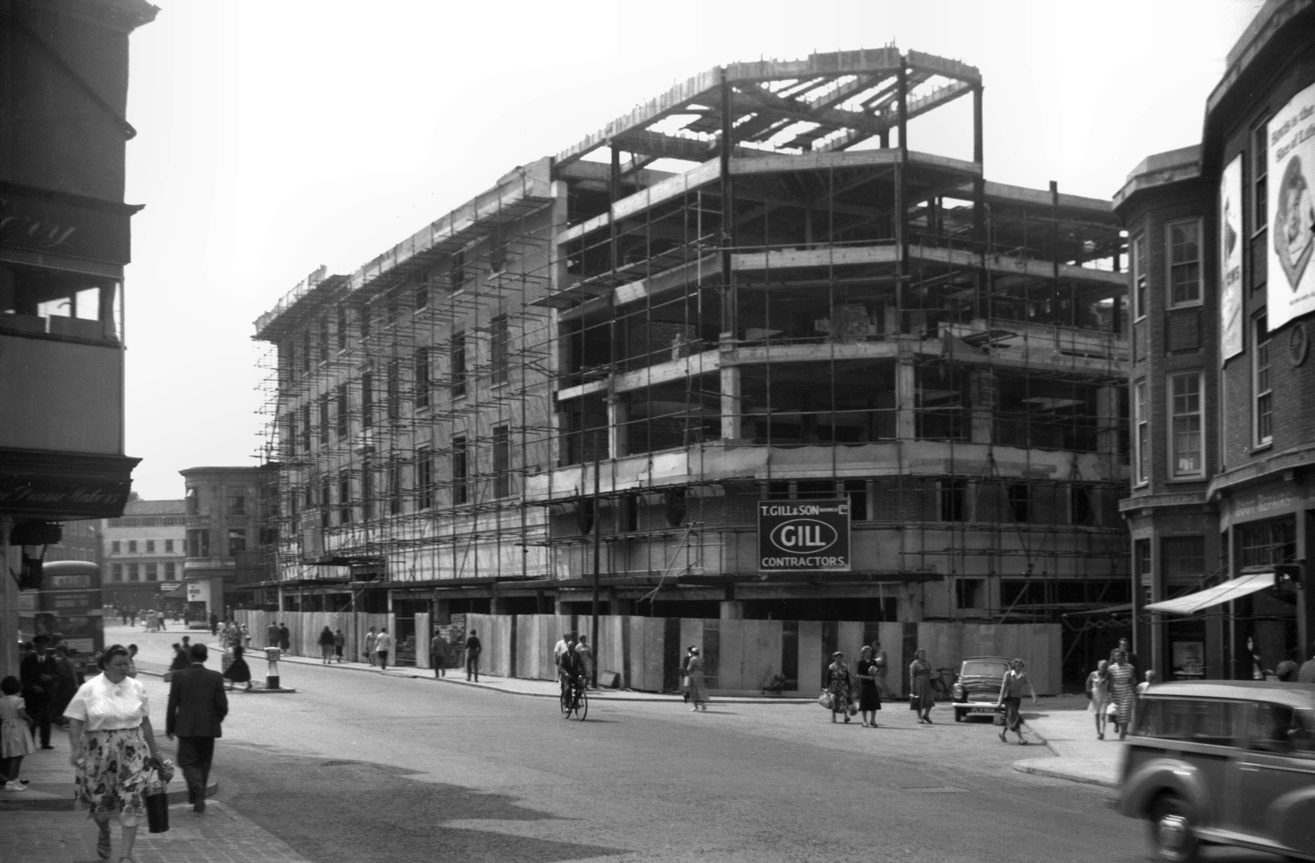
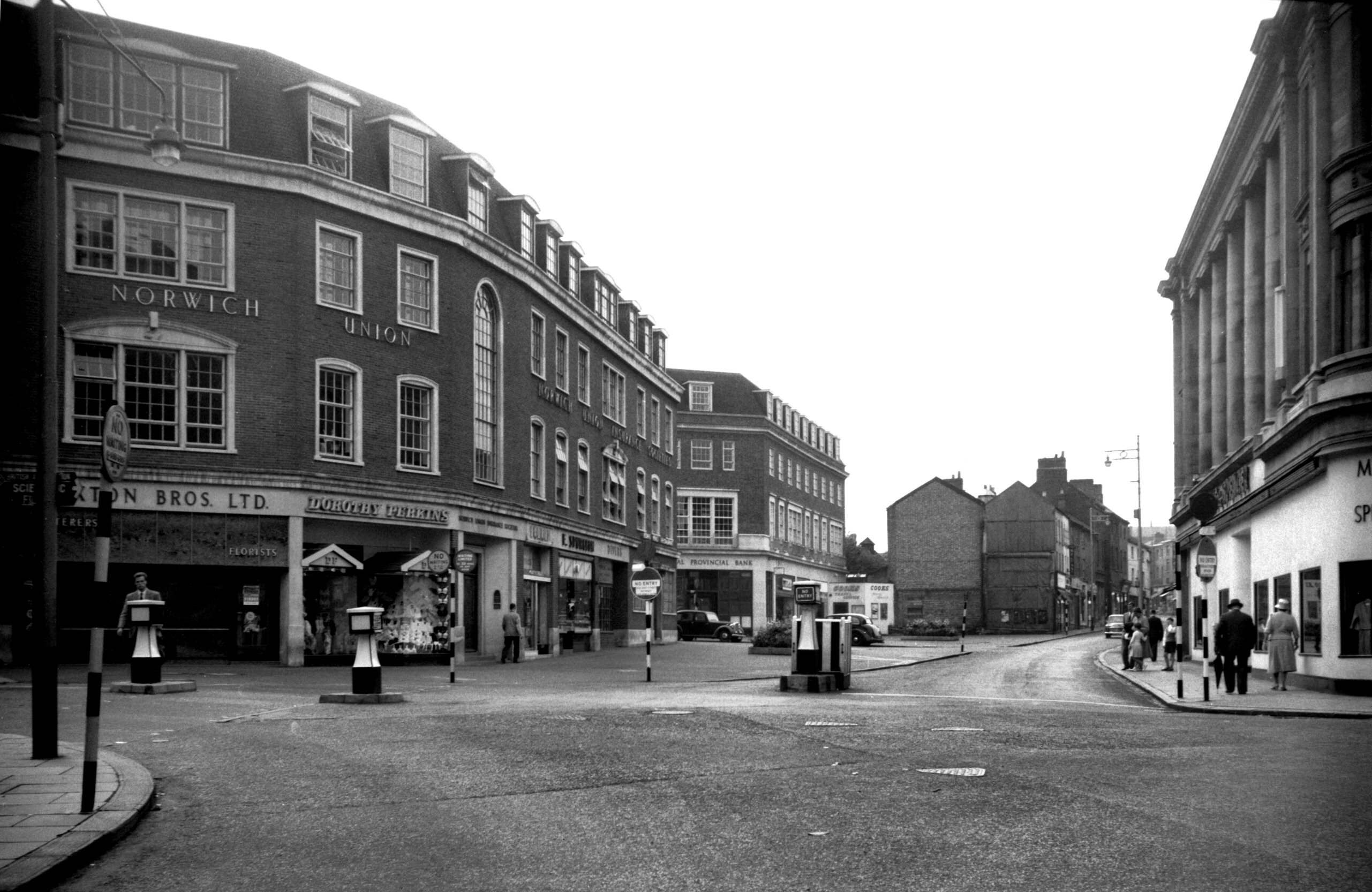
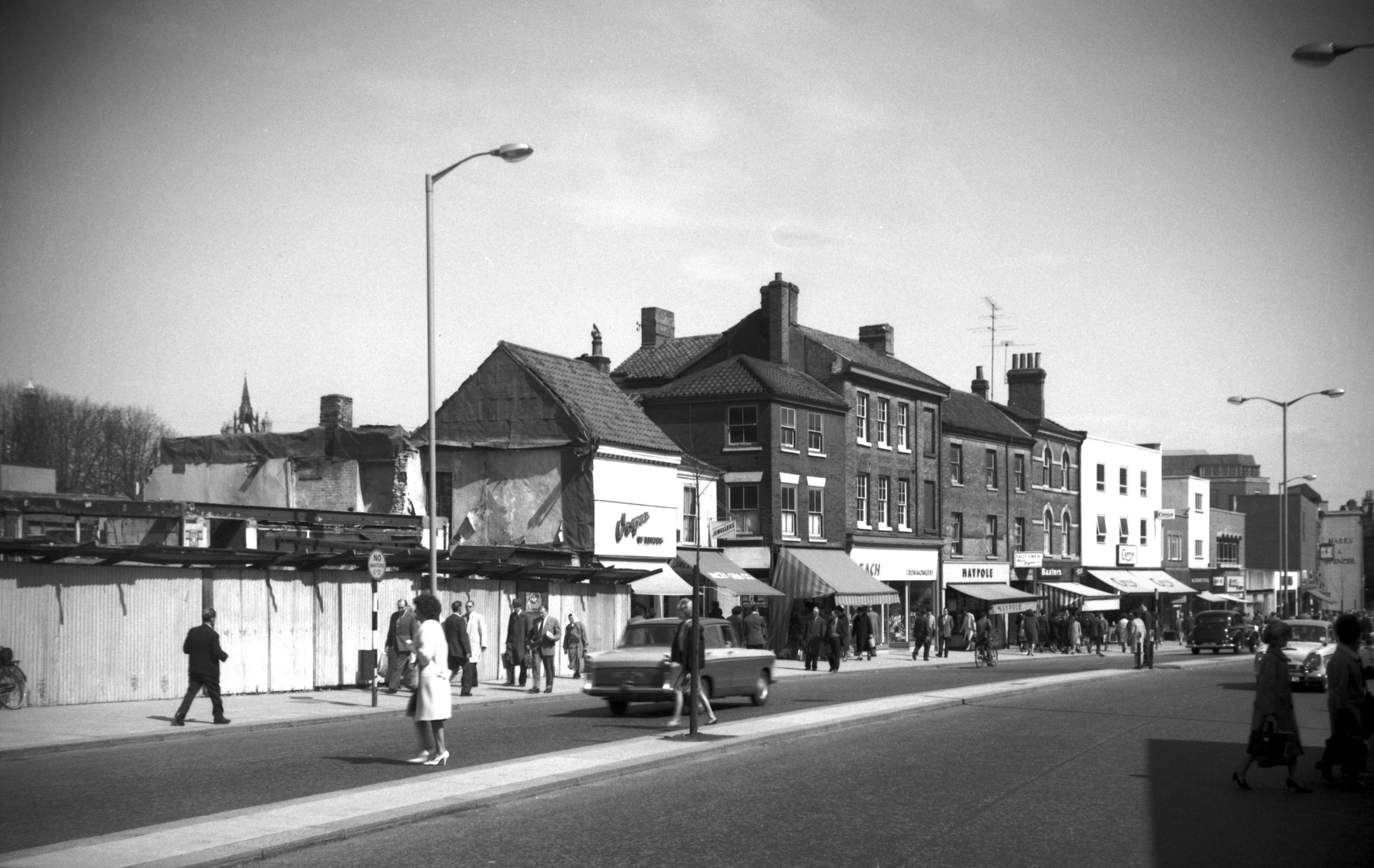
Orford Place and Brigg St [4104] 1952-09-28
The island site formerly occupied by Curls and other
shops, largely destroyed during air raids in 1942, was
originally earmarked for an open space in the City of
Norwich Plan 1945. It was later considered to be too
valuable for this, but the former street plan was altered
to divert all road traffic via Brigg St - Rampant Horse
St (which was widened); Orford Place being reduced in
width to be used by pedestrians only. |
|
|
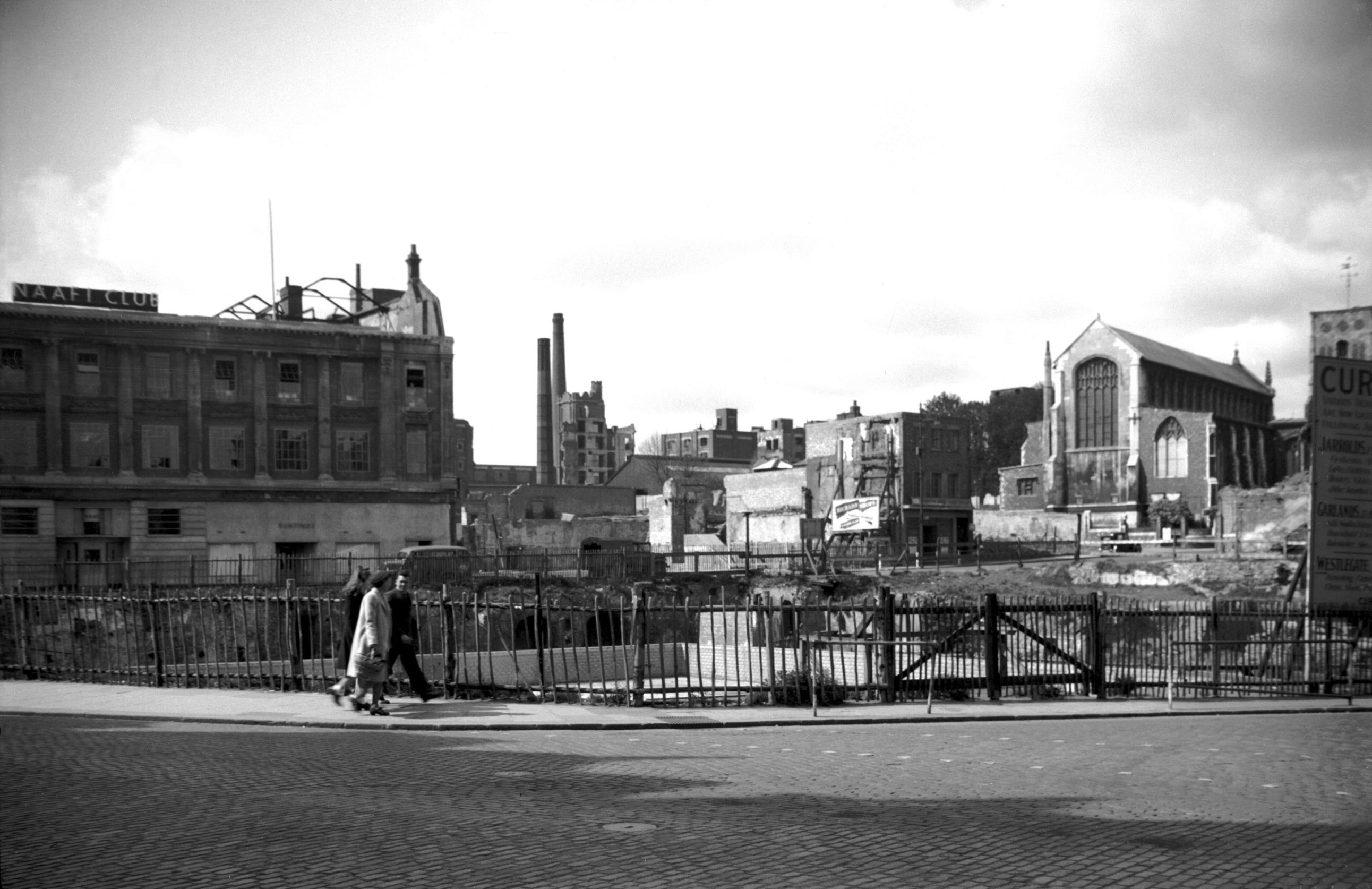
Orford Place Curls building site [3624] 1946-04-19
|
|
|
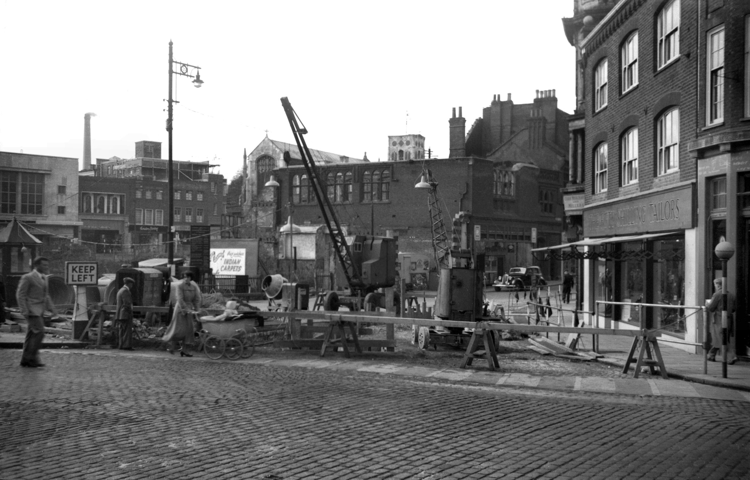
Orford Place sewerage system alterations [4235]
1953-10-25
|
|
|
Orford Place view NE from Rampant Horse St [4236]
1953-10-25
|
|
|
Orford Place Brigg St view north [4237] 1953-10-25
|
|
|
Orford Place entrance from Haymarket [4263]
1954-06-23
|
|
|
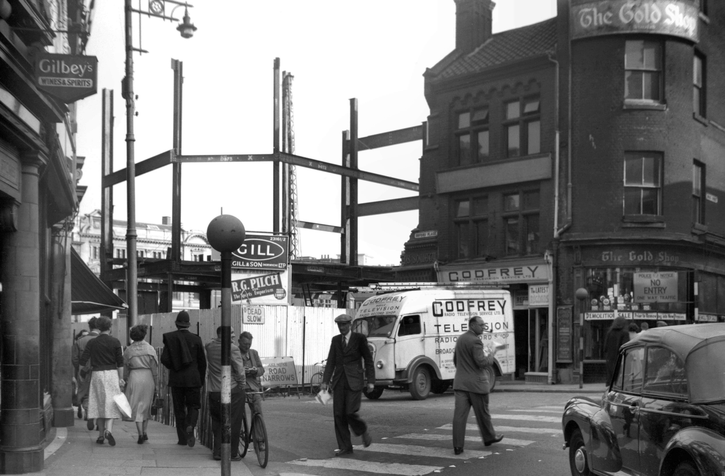
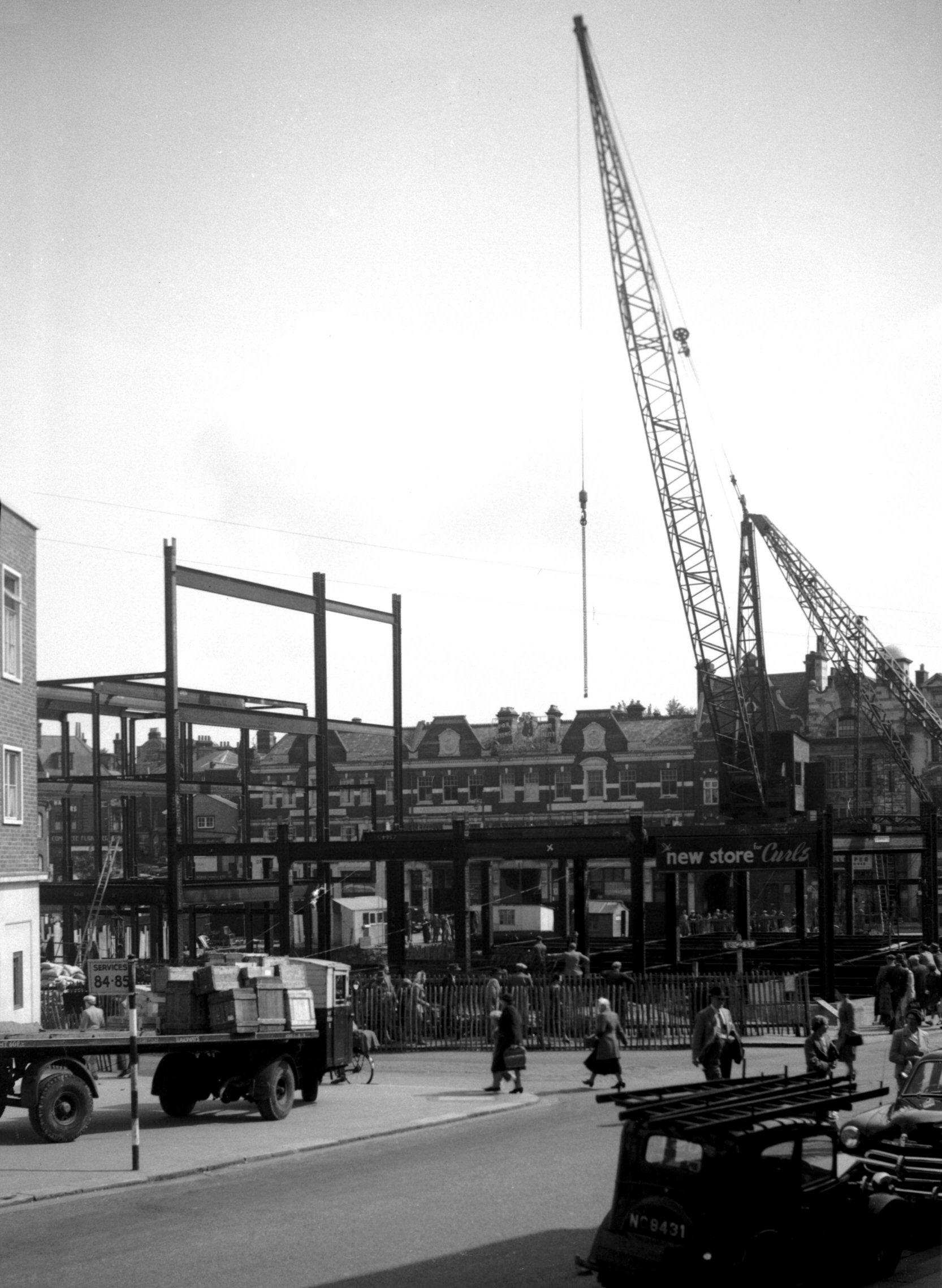
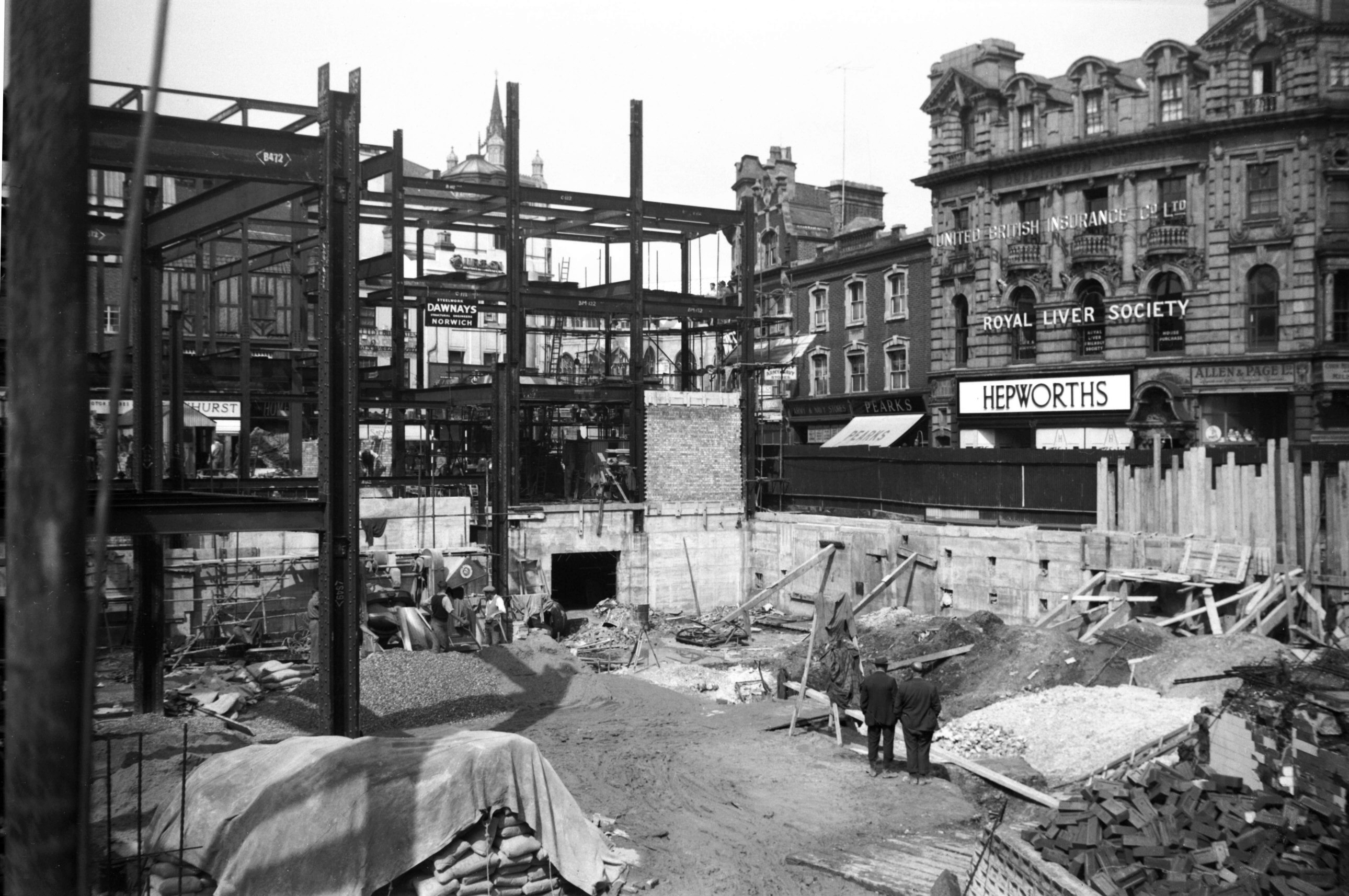
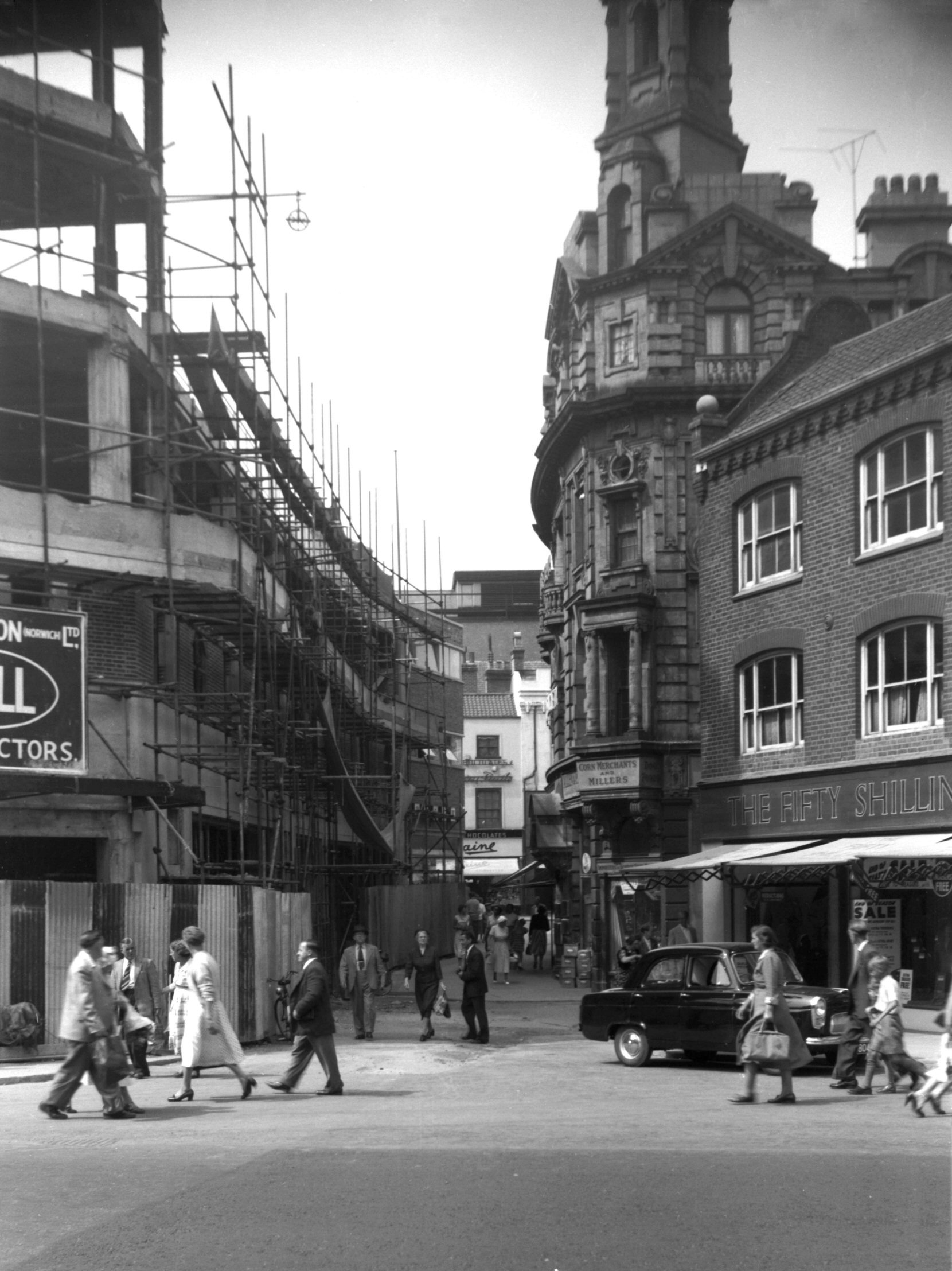
Orford Place Curls girderwork Brigg St [4276]
1954-08-25
Rampant Horse St corner. |
|
|
Orford Place Curls girderwork St Stephen's [4277]
1954-08-25
From St Stephen's Plain. |
|
|
Orford Place Curls girderwork Red Lion St [4278]
1954-08-25
|
|
|
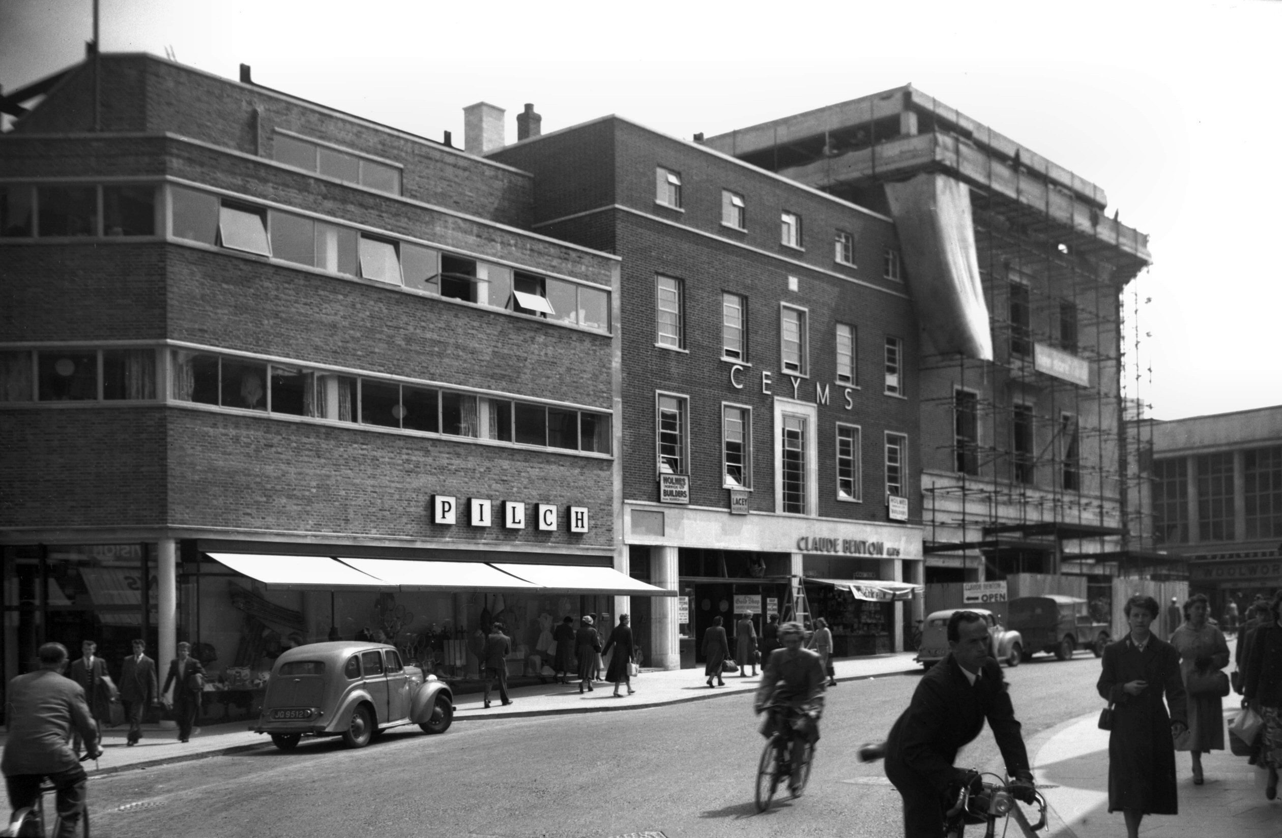
Orford Place Brigg St east side complete [4312]
1955-06-17
Pilch and C.E.Y.M.S buildings complete. Curls still under
construction. |
|
|
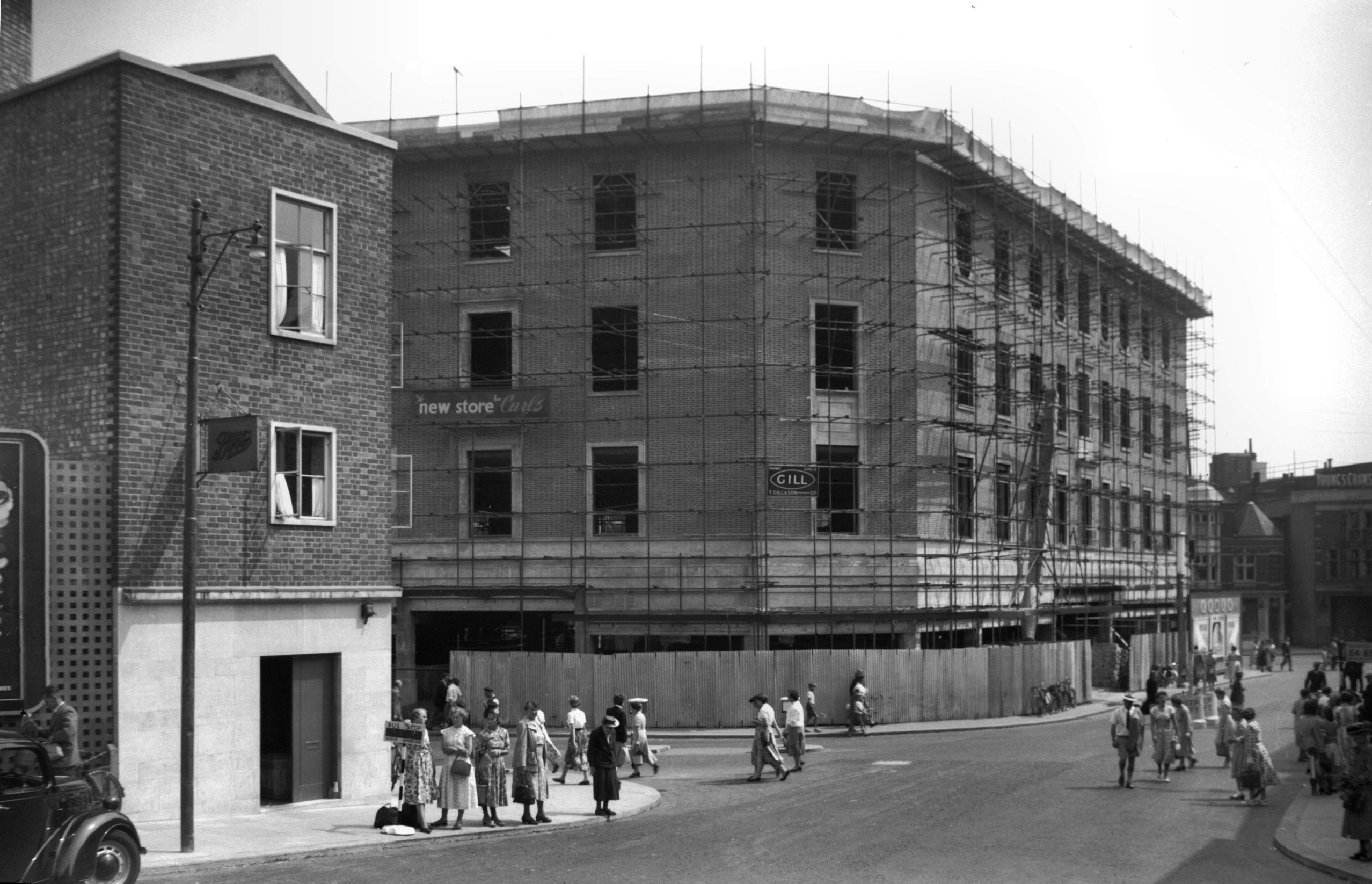
Orford Place Curls Rampant Horse St [4345] 1955-08-05
Brigg St corner. |
|
|
Orford Place Curls Red Lion St view south [4346]
1955-08-05
|
|
|
Orford Place reduced width [4347] 1955-08-05
|
|
|
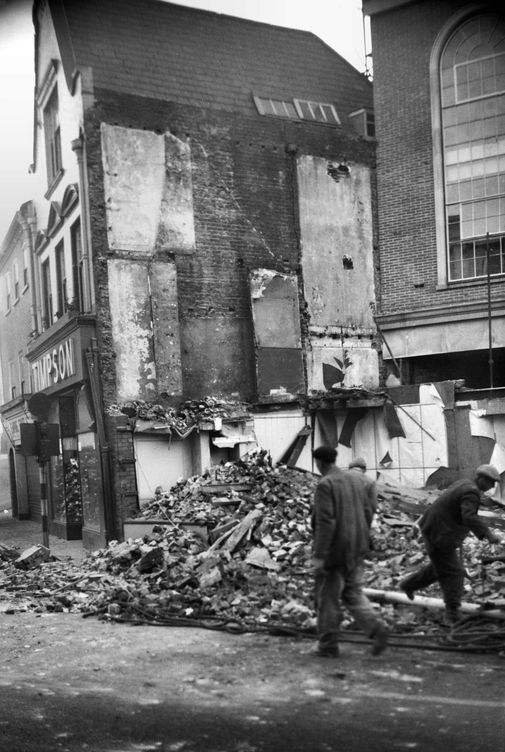
St Stephen's St 1 to 3 demolition [4239]
1953-11-29
The question of widening St Stephen's St, first arose in
1915, the Great Eastern Railway Company offering the City
Council the sum of £10,000 towards the project. The
railway company wanted a grander approach to its terminus
Victoria Station (more recently the site of Sainsbury's).
The offer, however, was refused (perhaps because of the
war) and in consequence the following year Victoria
Station was closed to all except goods traffic, passenger
trains being diverted to the main terminus at Thorpe.
With the increase in motor transport in the 1930s the
Council began studying the problem in earnest, but
agreement could never be reached on the question of which
side should be set back. On the east side stood the
mediaeval Boar's Head inn and Crown and Angel public
house, while on the west were two large department
stores.
In the end the air raids of April 1942, solved the
problem, the old thatched Boar's Head inn among many
neighbouring buildings providing a vulnerable target.
After these losses, the City of Norwich Plan - 1945
found the street to have "few buildings of
outstanding merit" and proposed that it be provided
with dual carriageways and pavements 15 feet wide - the
new buildings to be controlled in so far as materials,
height and design were concerned. In 1953 a start was
made by widening on the east side at the city end, the
whole scheme being completed in the early 1960s, leaving
nothing to attract the historically minded. |
|
|
St Stephen's Plain 6 to 7 St Stephen's St 1 [4234]
1953-10-25
1 to 3 St Stephen's St on right. |
|
|
St Stephen's St NE entrance building lines [4646]
1961-09-03
Showing new and old building lines. |
|
|
St Stephen's St 1 to 3 [2794] 1938-09-05
3 would be partially destroyed by enemy action. |
|
|
St Stephen's St 5 to 7 Boar's Head Inn [2793]
1938-09-05
Destroyed 1942. See also 2 Surrey St. |
|
|
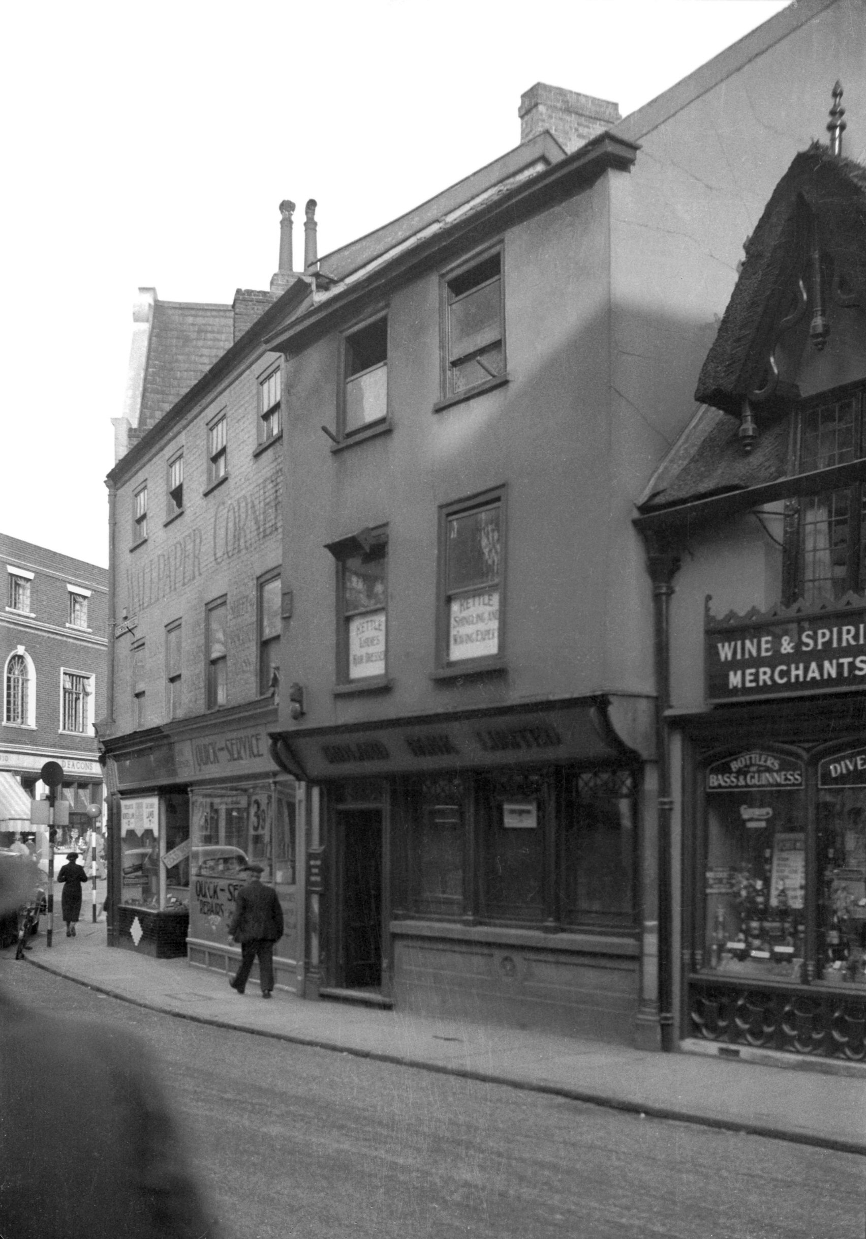
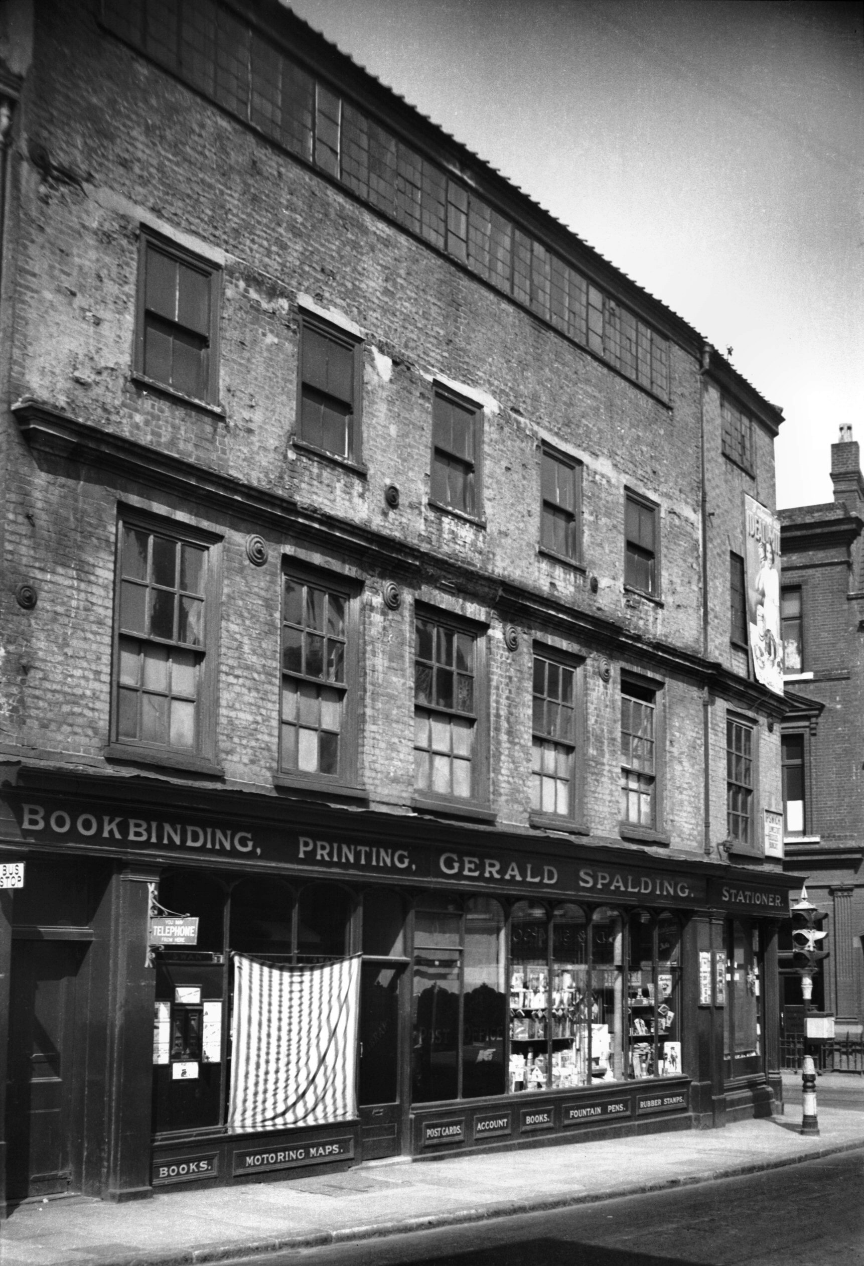
Surrey St 1 with weavers' window [1048] 1936-06-21
Side of 9 St Stephen's St.
On the southern corner of St Stephen's St and Surrey St
was a four-storeyed building of red brick, some two and a
half centuries old, occupied before the Second World War
by Gerald Spalding's stationer's shop and post office. A
prominent stringcourse of moulded brick divided the first
and second floors, but the chief feature was the long
range of weavers' or thoroughlight windows, which lit the
top floor on the Surrey St side. This lost its glass and
was boarded up in 1942, but the building escaped the
serious damage suffered by its neighbours. The whole
building was, however, taken down some years later when a
start was made on widening St Stephen's St.
For centuries weaving was one of the city's staple
industries. In the 14c artisans from Bruges and Ghent
began to settle in the city because, it is said, of the
initiative of Philippa, Queen of Edward III. Towards the
close of the 16c the industry was considerably augmented
by a "great wave" of Flemings seeking refuge
from the religious persecution of the Duke of Alva,
followed a century later by French Protestants escaping
from the consequences of the revocation of the Edict of
Nantes.
From this time onwards the production of silk fabrics was
greatly increased. A comprehensive account of the Norfolk
and Norwich silk industry communicated by Walter Rudd
will be found in Norfolk Archaeology Vol.21. Rudd
gives a vivid description of its flourishing state during
the 18c, followed by an account of its general decline
when from 1812 yarns spun by power looms began coming
from the Yorkshire mills. Nevertheless, despite the fact
that about 1830 the East India Company ceased to export
Norwich camlets to the east, sufficient business remained
to inspire the building in 1836 of the great yarn factory
in St James's (now Jarrold's printing works) and the
following year of the Albion Mills in King St (now
flats).
Unfortunately the optimism, expressed by these building
proved unfounded, due at least in part to the city's
considerable distance from any coalfields. Nevertheless,
in 1901 some 60 men and 643 women were still being
described as silk weavers, although it was then feared
that in the process of time the old textile industry
would disappear from Norwich completely. In fact the
large silk mills of Courtaulds (formerly Francis Hinde
and Hardy) were demolished only in February 1983, having
closed down two years previously.
For reminders of this once-great Norwich industry one
must now visit the Bridewell museum to see examples of
the old looms, with specimens of their products, or
inspect the main doors of the City Hall, where a bronze
plaque, one of 18 by James Woodford ARA, depicts a girl
operating a power loom. |
|
|
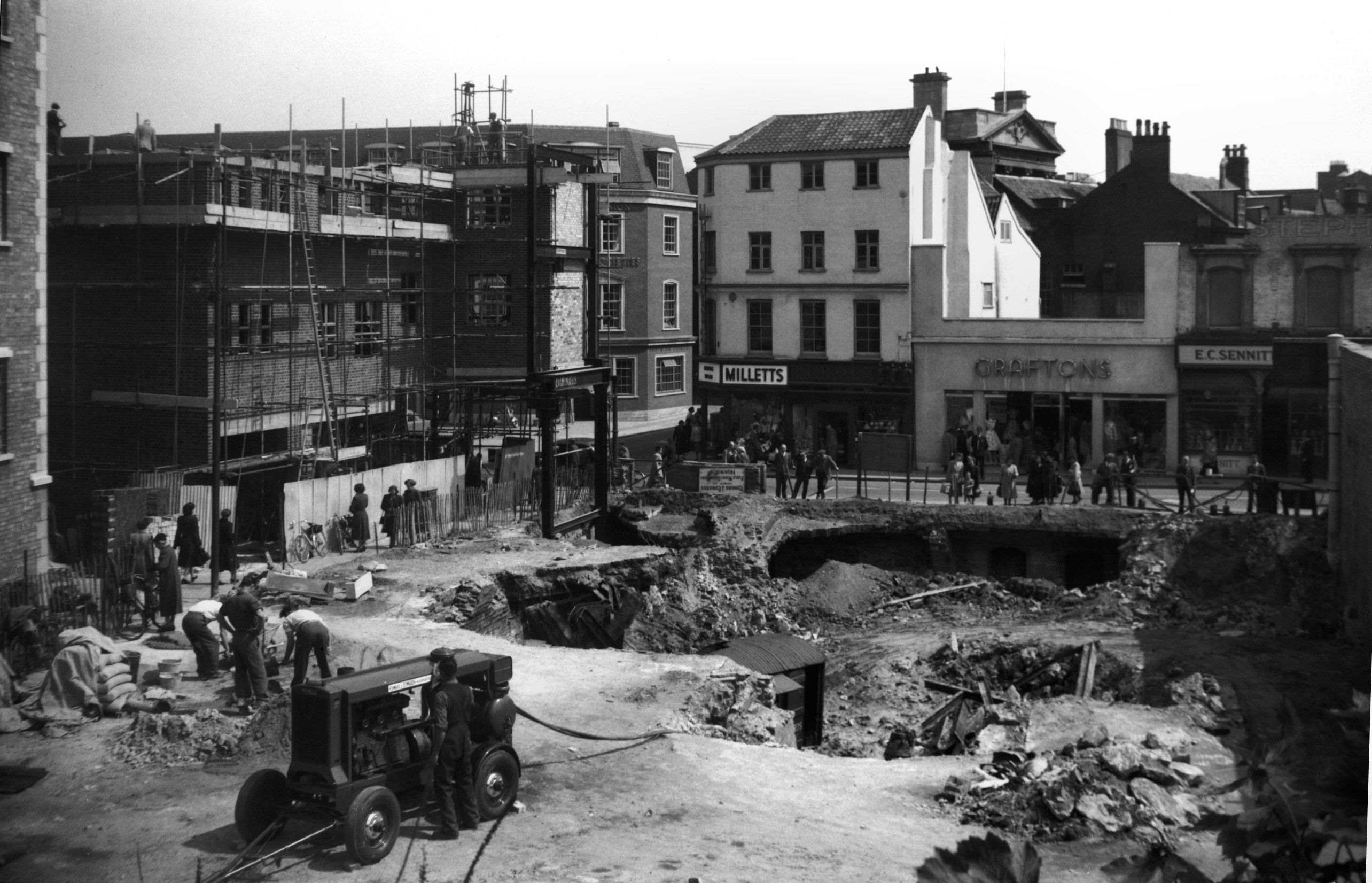
St Stephen's St 9 to 11 from site of 12 [4248]
1954-05-25
View across to Milletts, Purdys, Graftons and Sennitts
from cleared site of 12 to 14. |
|
|
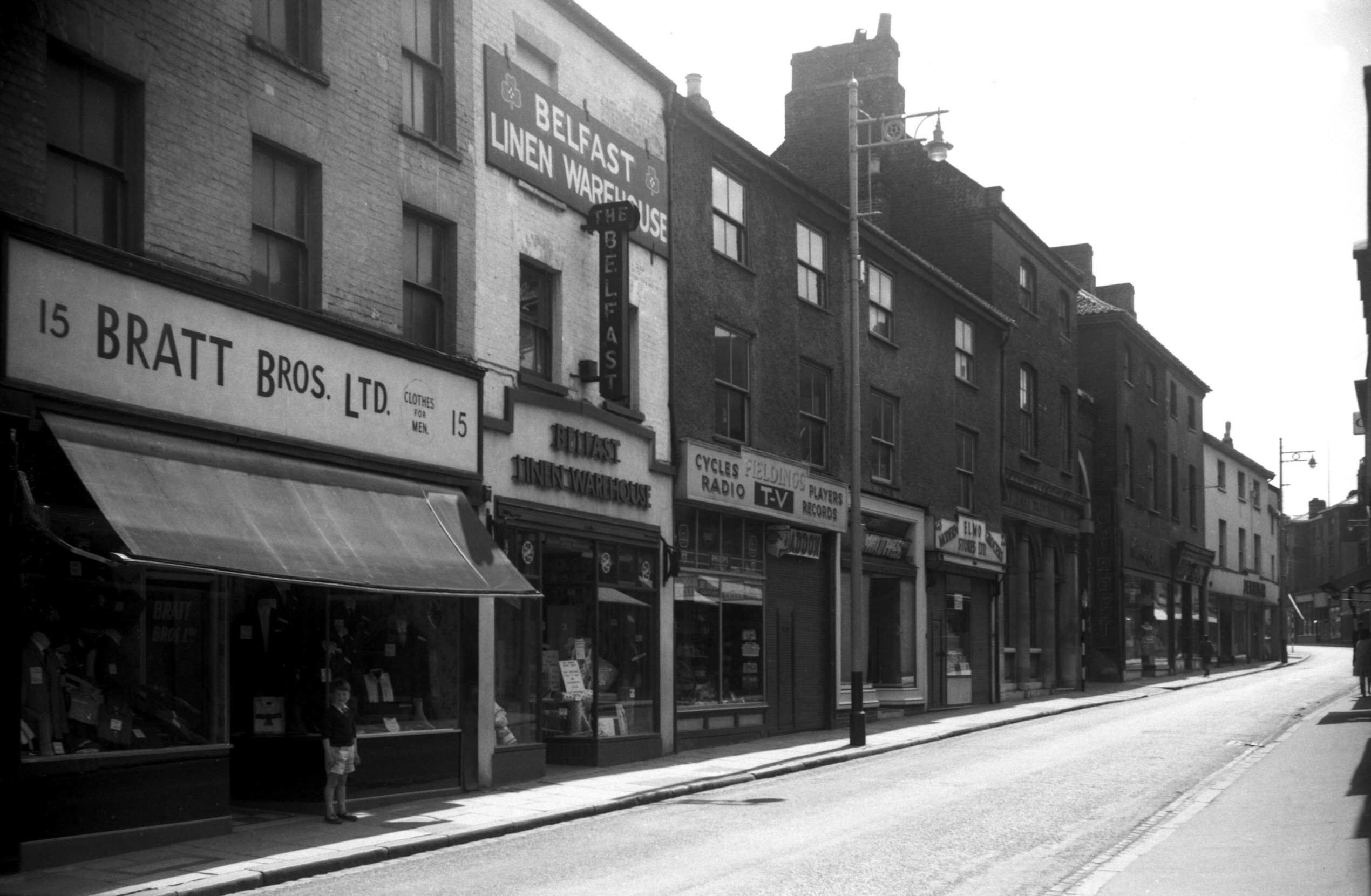
St Stephen's St 15 to 31 [4611] 1961-06-18
Prior to demolition for street widening. |
|
|
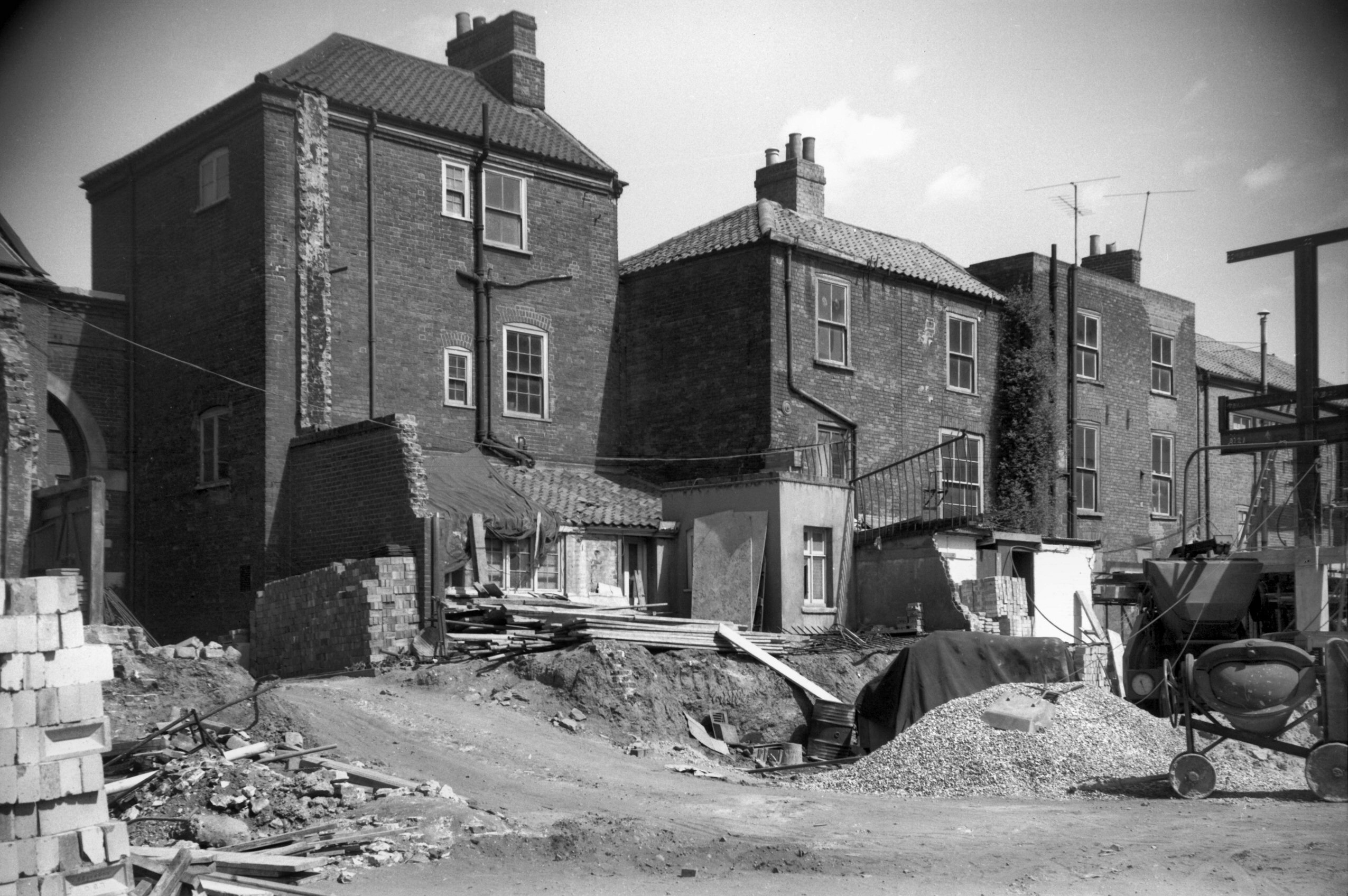
St Stephen's St 21 to 25 rear [4684] 1962-06-24
Prior to demolition for street widening. |
|
|
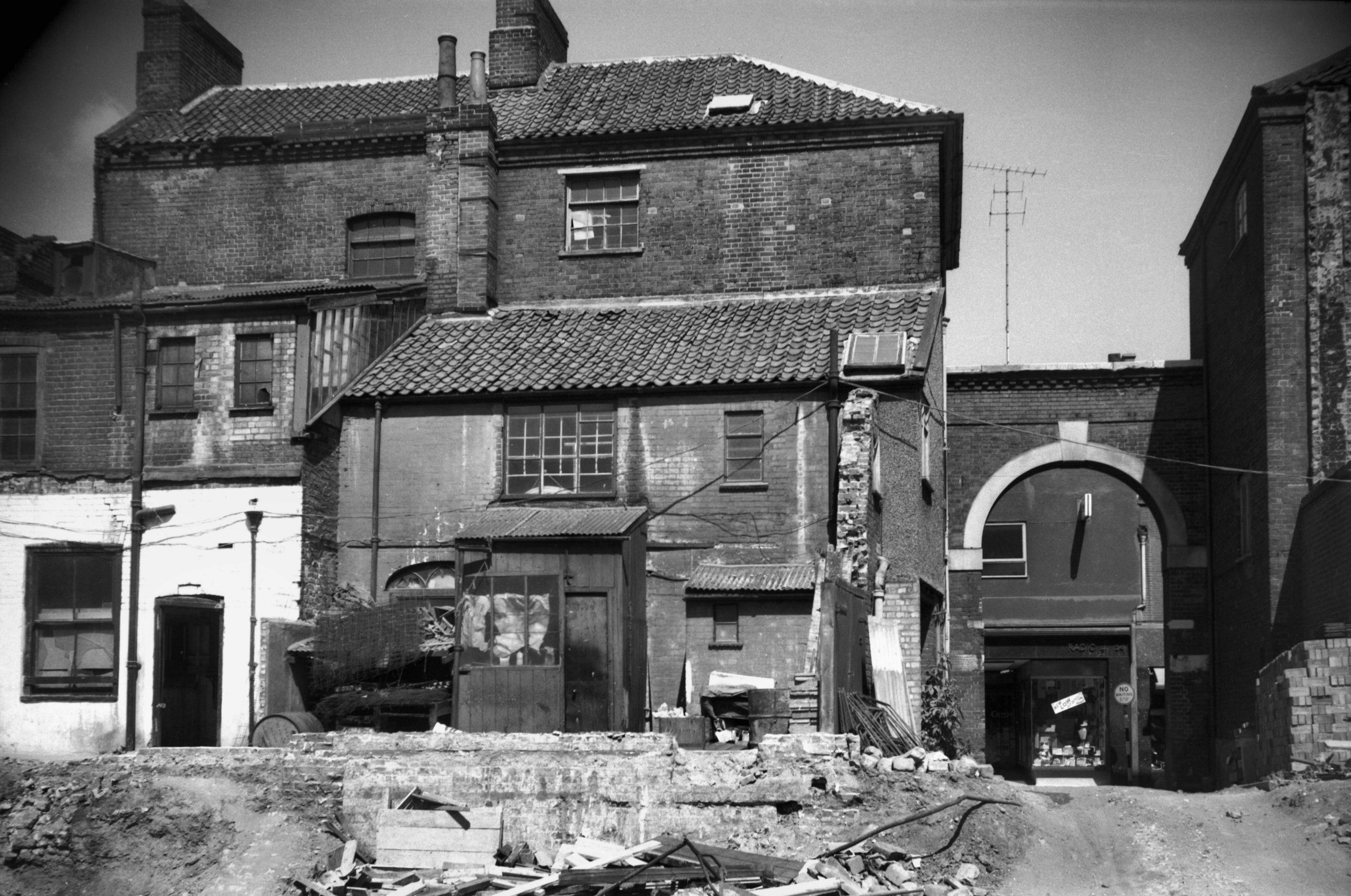
St Stephen's St 27 to 29 rear and archway [4683]
1962-06-24
Prior to demolition for street widening. |
|
|
St Stephen's St 25 to 31a [4398] 1955-09-26
|
|
|
St Stephen's St 35 to 37 [1023] 1936-06-14
37 partially destroyed 29th April 1942. |
|
|
St Stephen's St 39 to 41a [1068] 1936-06-28
Destroyed 29th April 1942. |
|
|
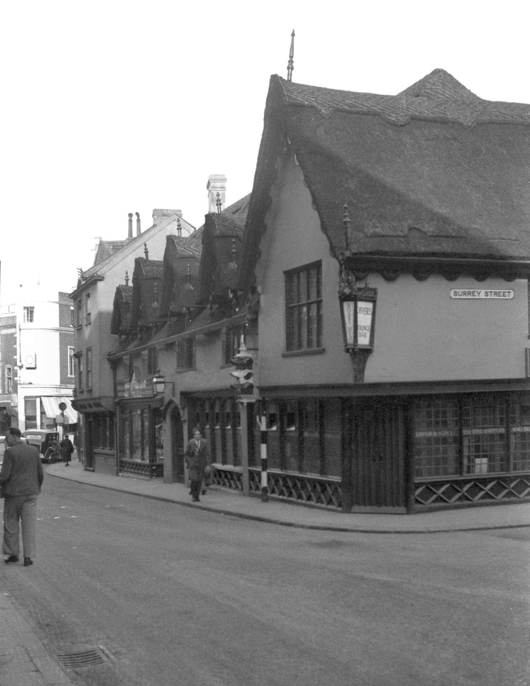
St Stephen's St 41 Crown and Angel PH to 43 [1423]
1936-09-20
Another casualty on 29th April 1942 was the Crown and
Angel inn. This interesting old building, comprising Nos
41 and 43, originally formed one large house but was
divided in its later years into two, the smaller portion
becoming part of the inn and the larger (No 43) Page and
Son's corn store.
It was the late Mr Ernest Kent who first drew attention
to an interesting external feature, a stone bracket that
supported the first-floor jetty at the right-hand end. On
it was a coat-of-arms which Mr Kent made out to be
"Argent, on a fesse Azure, three eagles displayed Or
(for Clere) impaling Argent, a cross moline Gules (for
Uvedale)". From this it was deduced that the
dwelling was erected sometime between 1434 and 1492 as a
town house, possibly on the site of an older building
belonging to the Uvedales, for it was just inside the
city walls and on the highway leading to their country
estates at Tacolneston and Wymondham. Although the
original town house of the Cleres was sited at the Old
Barge inn, King St, the family was for long connected
with St Stephen's district, as is shown by the register
of that parish.
The upper storey of the building with its two substantial
dormers was severely damaged in the blitz of April 1942,
and the whole house was demolished four years later. The
stone bracket with the coat-of-arms was transferred for
safe keeping to one of the city's museums. |
|
|
St Stephen's St 45 to 51 [4639] 1961-08-27
Prior to demolition for street widening. |
|
|
St Stephen's St Wheatsheaf Yard [4612] 1961-06-18
Between 51 and 53. Prior to demolition for street
widening. |
|
|
St Stephen's St 65 to 75 [4613] 1961-06-18
Prior to demolition for street widening. |
|
|
St Stephen's St 63 to 75 Great Eastern PH [4638]
1961-08-27
Prior to demolition for street widening. Site of St
Stephen's Gates. |
|
|
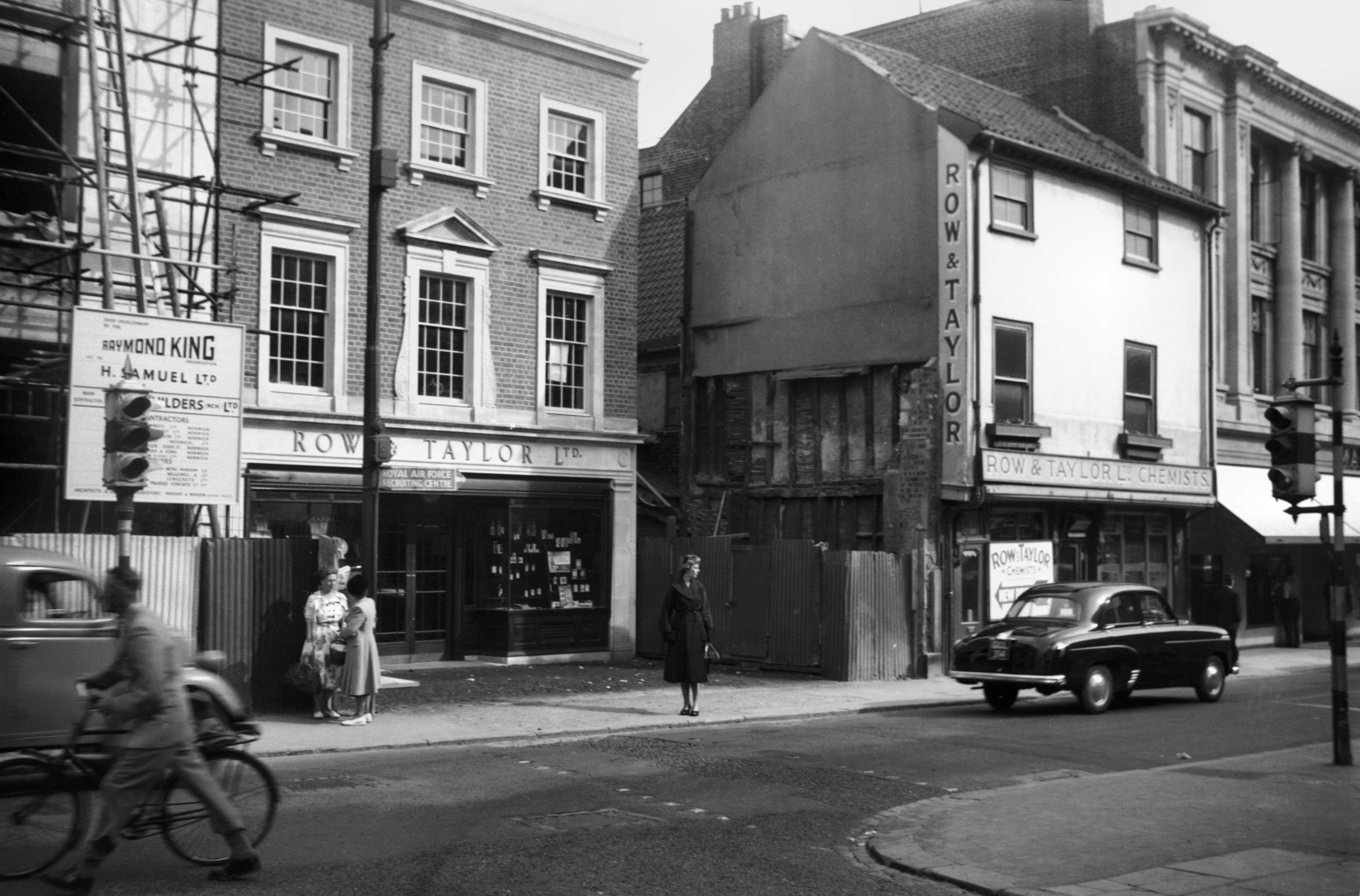
St Stephen's St 6 to 8 Row and Taylor [4261]
1954-06-23
Old and new premises of Row and Taylor. |
|
|
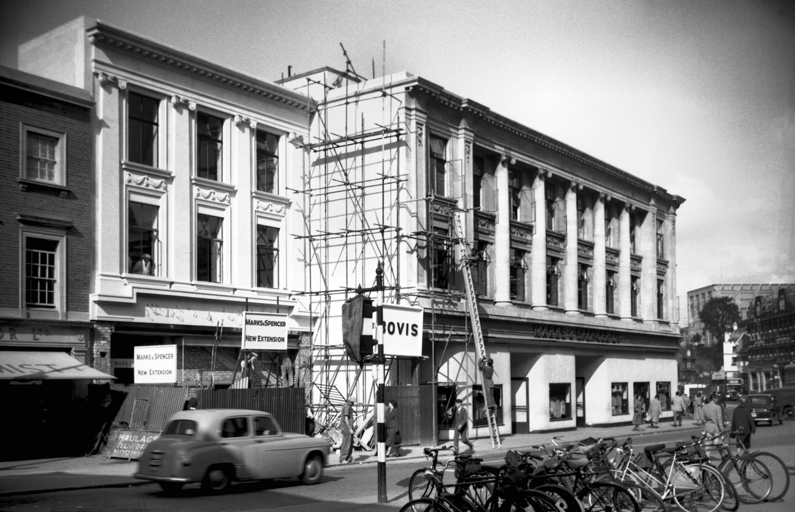
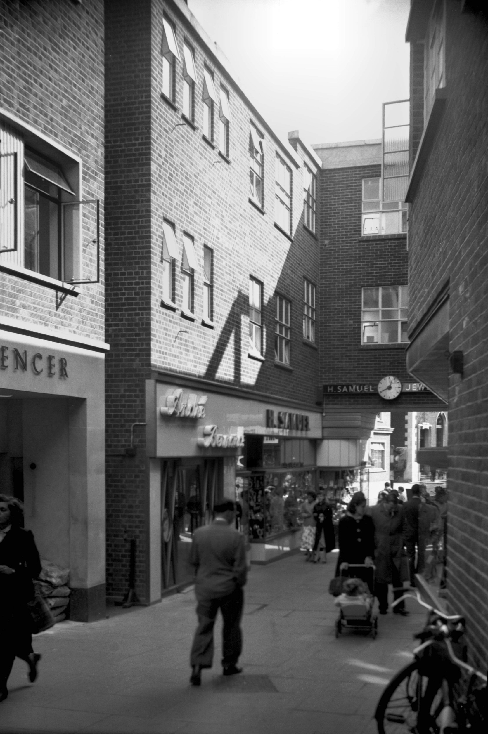
St Stephen's St 2 to 6 Marks and Spencer [4400]
1955-09-26
8 to 20 St Stephen's St were destroyed by enemy action in
1942 and when the premises were rebuilt the line was set
back a few feet to improve the entrance at this end. It
was also proposed to arcade below 2 to 4 to widen the
road there, but the estimated cost proved prohibitive and
that part of the scheme was abandoned. |
|
|
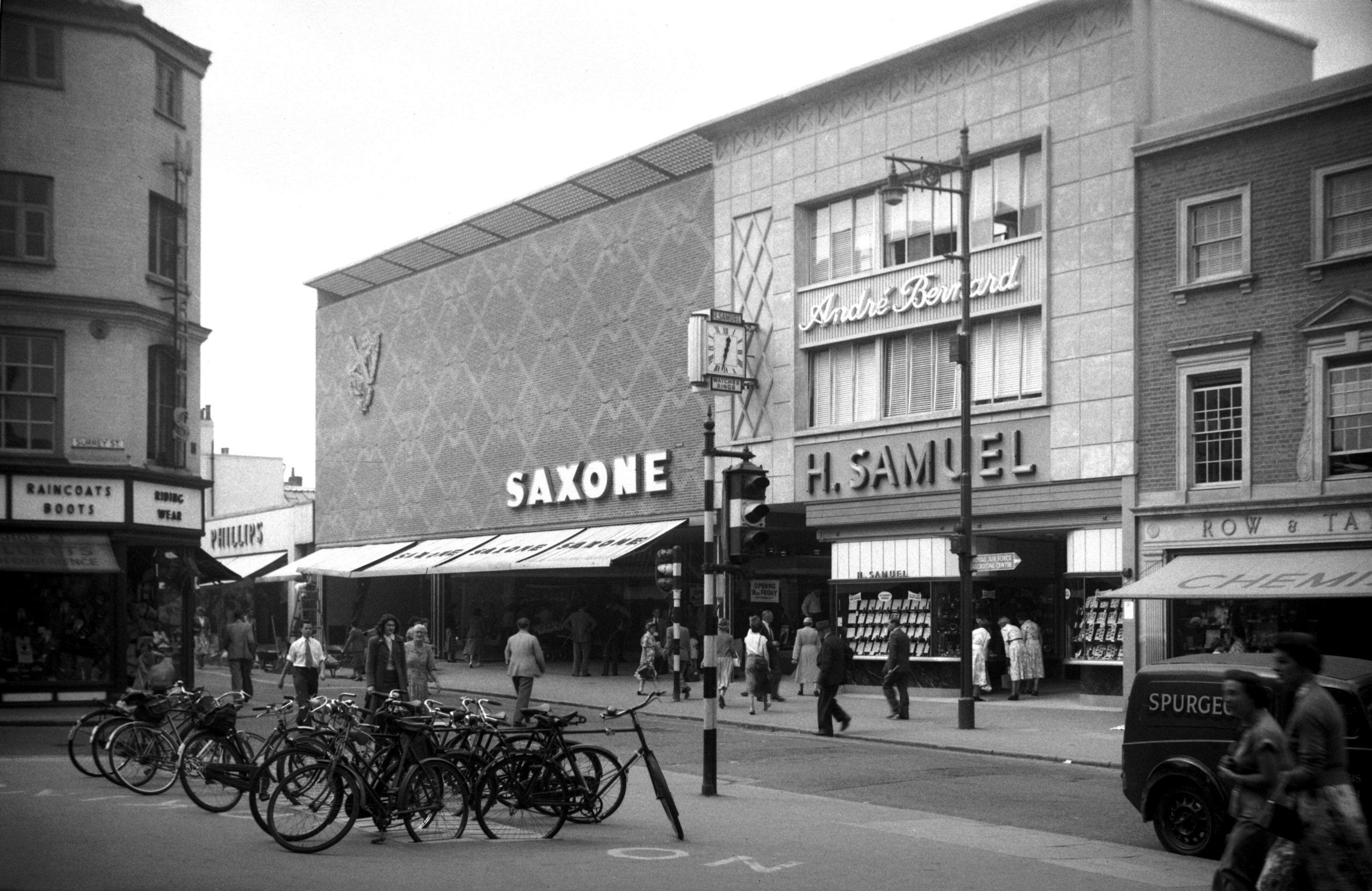
St Stephen's St 8 to 12 after completion [4373]
1955-09-01
Saxone and H.Samuel. |
|
|
St Stephen's St Barwell's Court view east [4399]
1955-09-26
|
|
|
St Stephen's St 12 cellar air raid damage [4247]
1954-05-25
12 to 14 St Stephen's St. Mediaeval brick vaulting of
cellar damaged by enemy action in 1942. Barwell's Court
in background. |
|
|
St Stephen's St west side [4755] 1964-04-18
Site of 40 to 46 on left. 38 to 2 standing. |
|
|
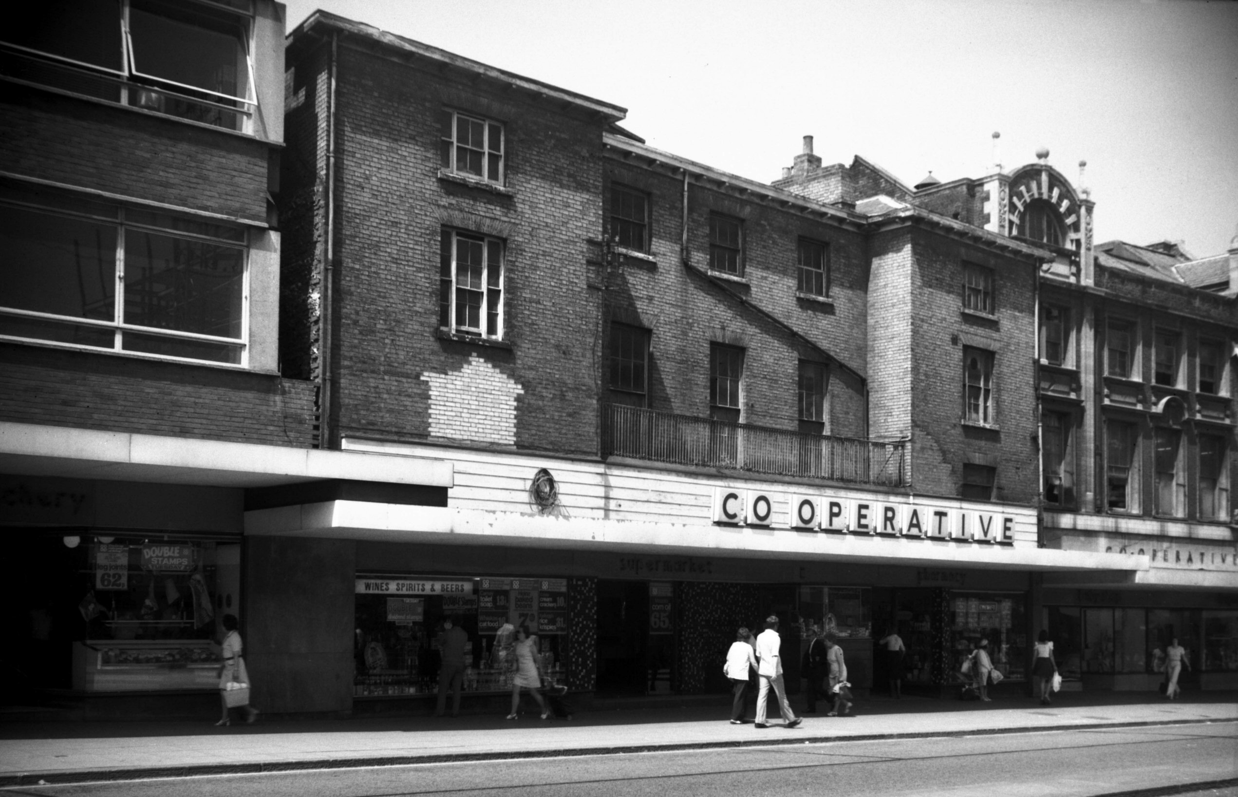
St Stephen's St 58 [5429] 1975-06-13
The Co-op. |
|
|
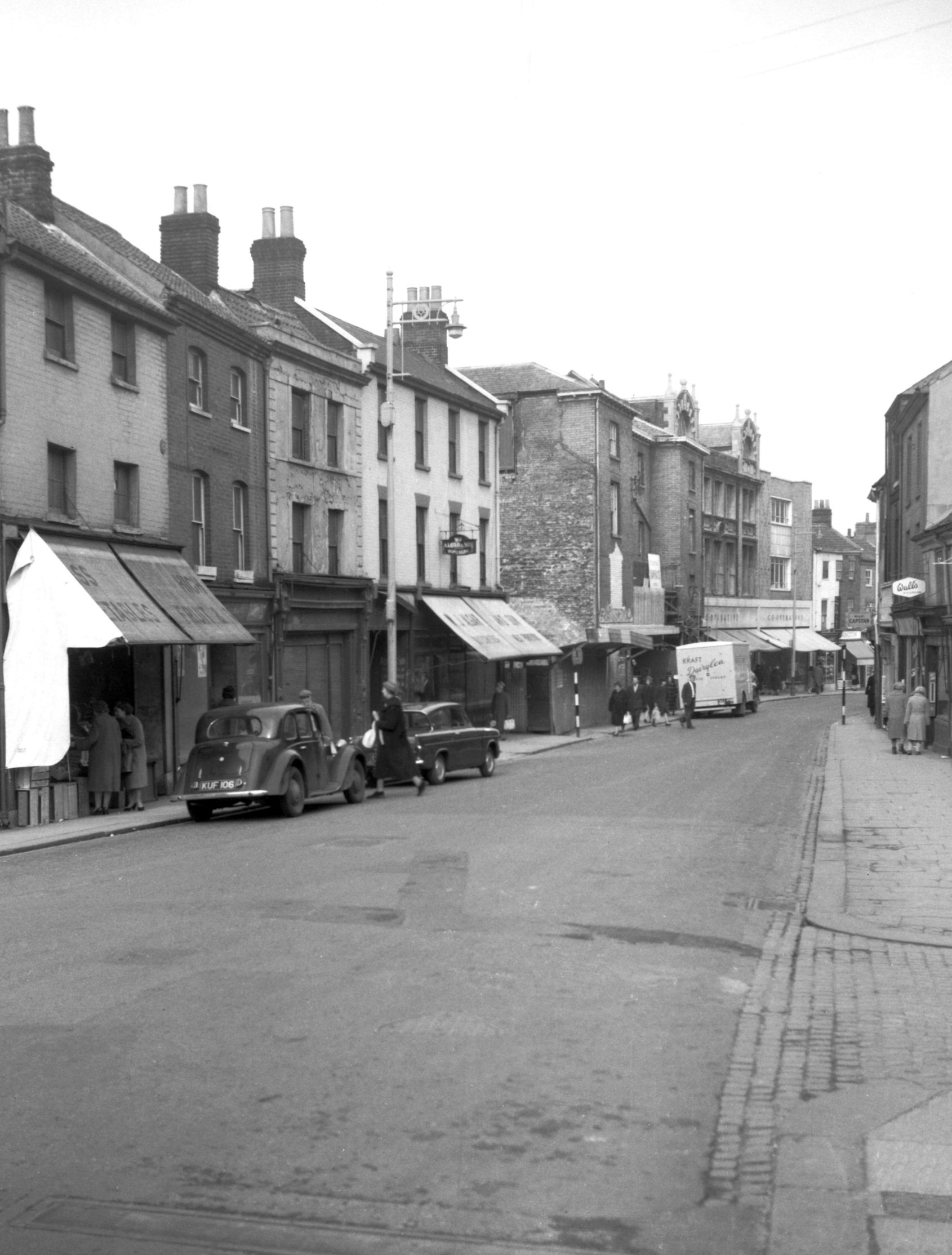
St Stephen's St 52 to 62 [4658] 1962-03-28
Prior to street widening. |
|
|
St Stephen's St 74 St Stephen's Gates [4657]
1962-03-28
Prior to street widening. Caley's chimney. |
|
|
Inner Link road
Grapes Hill 12a to 30 [4804] 1964-08-05
It was in 1931 that Robert Atkinson F.R.I.B.A., referring
to the City Wall, said "in almost every position are
slum dwellings put up during the last 50 years. It would
be a great adventure to clear them all out and open up
the road following the wall which has always been a
natural highway. Do this, and you will have a wonderful
circulating boulevard all round the city and its cost
would be comparatively nothing." It was not until
after the Second World War that a start was made upon the
construction of this "inner link" road, by
which time the cost had risen considerably! |
|
|
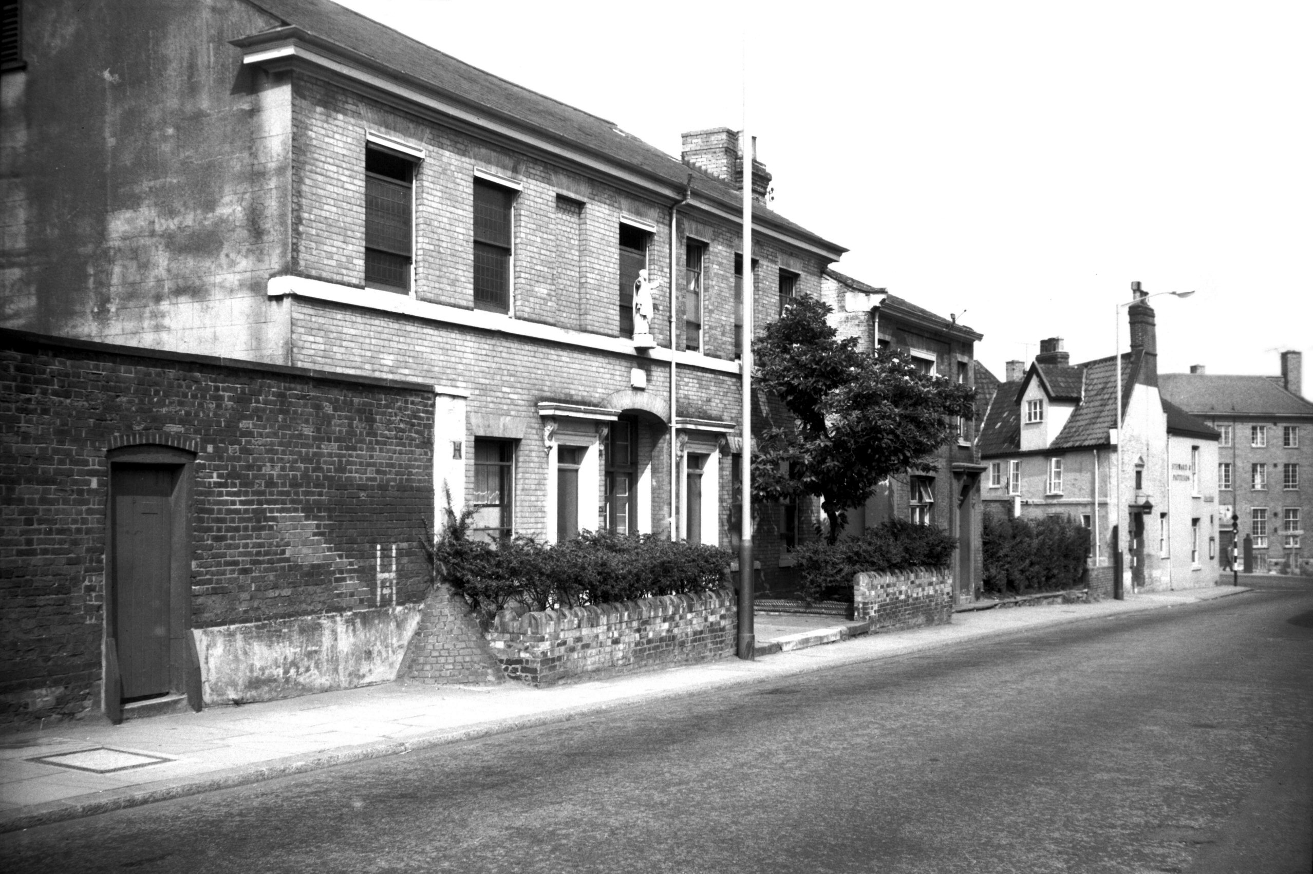
St Giles' St 64 to 66a and R Bethel St 70 [5239]
1968-08-23
Before c1900, numbers 56, 58, 60, 62, 64 and 66 St Giles'
St were called numbers 60, 59, 58, 57, 56 and 55 St
Giles' Broad St. |
|
|
St Giles' St view SW to upper St Giles' [5148]
1967-05-29
View towards future site of Cleveland Rd. |
|
|
Grapes Hill 45 Paul Pry PH to 53 [5147] 1967-05-29
Site of Inner Link road. |
|
|
Grapes Hill view north from St Giles' Gates [4808]
1964-08-11
Site of Inner Link road. |
|
|
St Giles' St 96 to 100 St Giles' Gate PH [4784]
1964-07-19
Site of Inner Link road. Before c1900, number 96 St
Giles' St was called number 52 Upper St Giles' St. |
|
|
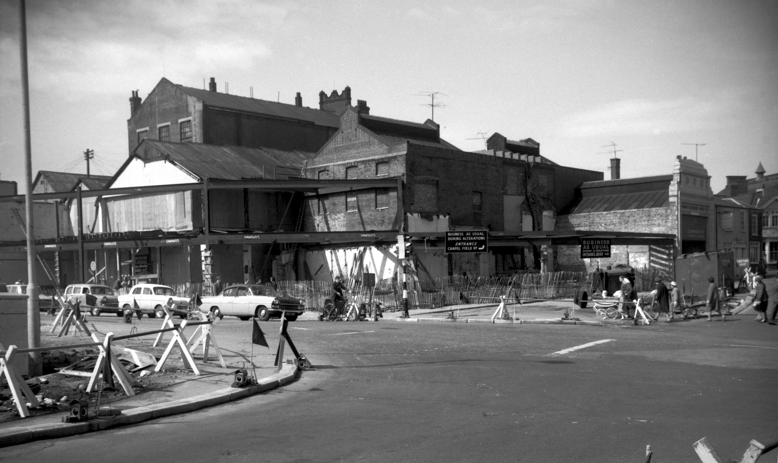
Chapel Field Rd 5 to 9 convent [4802] 1964-08-05
Little Sisters' Convent. Site of Inner Link road. |
|
|
Chapel Field Rd 8 Volunteer Stores PH [4783]
1964-07-19
Site of Inner Link road. |
|
|
Chapel Field Rd 42 to 44 [4782] 1964-07-19
Site of Inner Link road. |
|
|
Chapel Field Rd 66 to 96 [4781] 1964-07-19
Site of Inner Link road.
For 109 to 113 Chapel Field Rd see 1 to 5 St Stephen's
Rd. |
|
|
St Stephen's Rd 1 to 5 and Chapel Field Rd [4732]
1963-07-14
109 to 113 Chapel Field Rd on right. |
|
|
St Stephen's Rd Chapel Field Rd rebuilding [4753]
1964-04-18
|
|
|
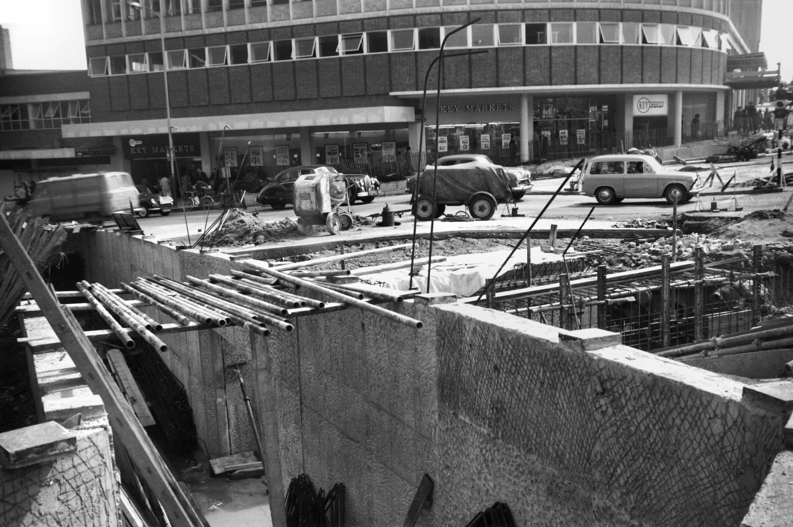
St Stephen's Chapel Field Rd subway trench [4754]
1964-04-18
Key Markets supermarket behind. |
|
|
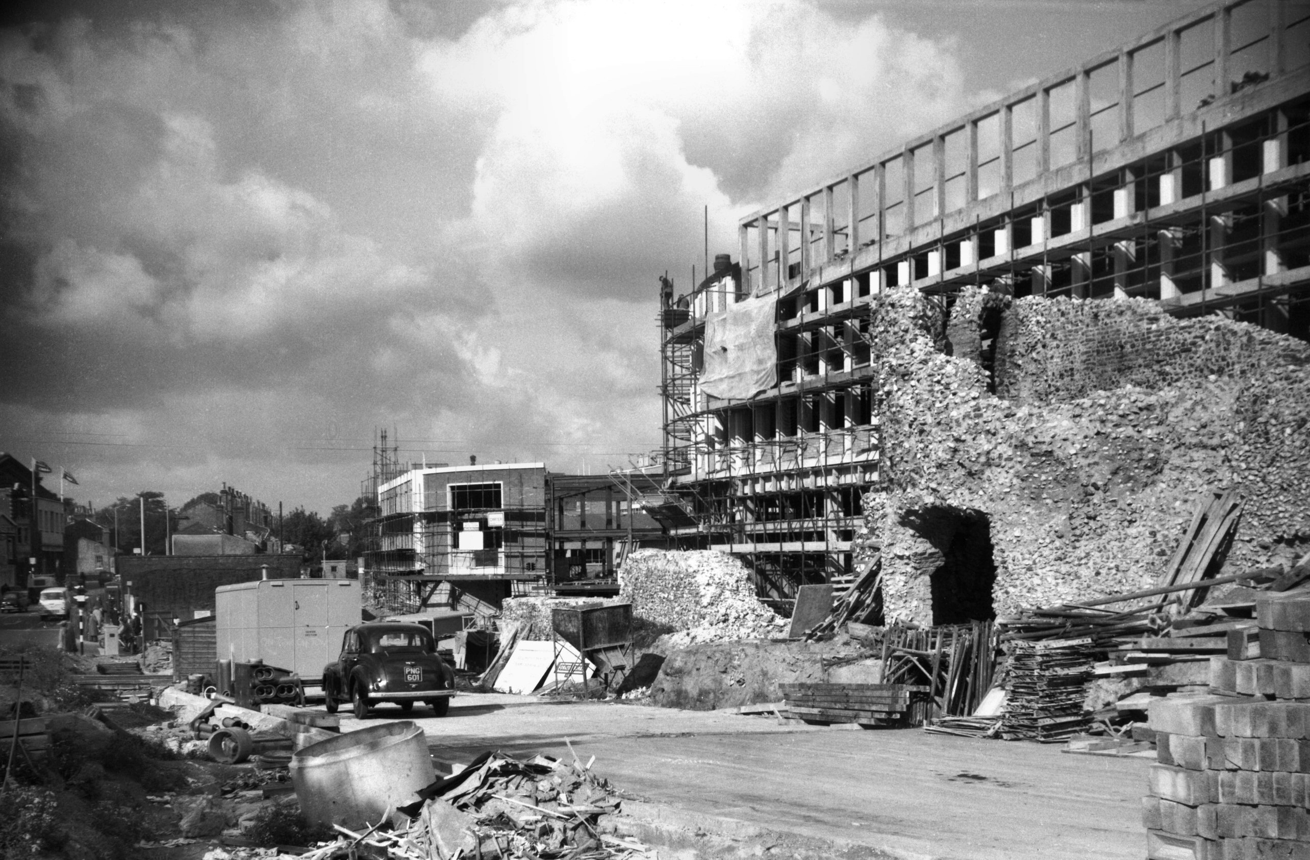
Queen's Rd car park construction view NW [4750]
1963-10-05
|
|
|
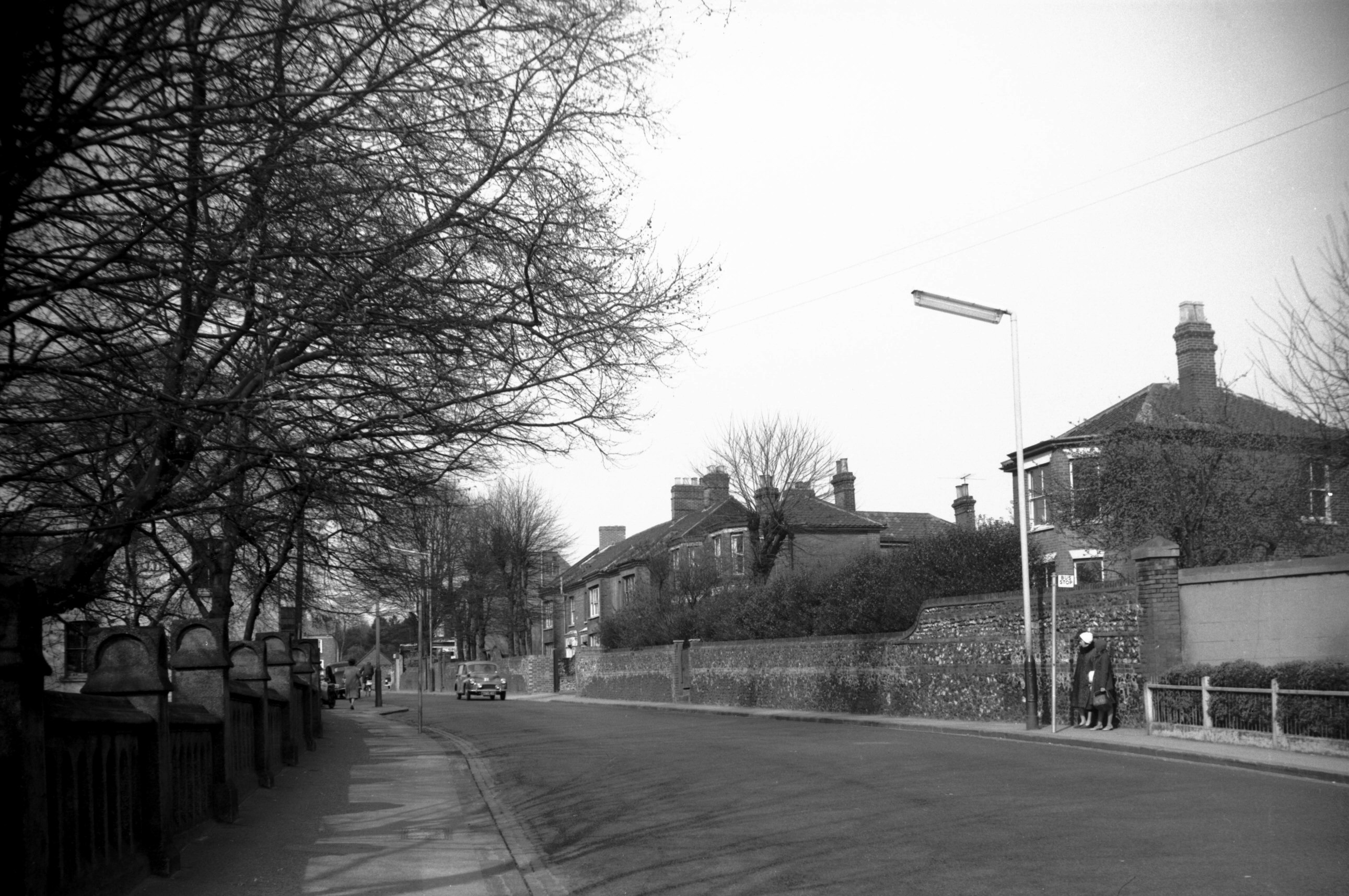
Bishop Bridge Rd east side view north [5134]
1967-04-01
Site of abandoned proposed Inner Link road extension. |
|
|
Ber St 81 to 83 [6541] 1989-04-08
In 1989 Norfolk County Council agreed to continue the
development of the city's Inner Link road by adopting a
line from Queens Rd across Surrey St and by a tunnel
below Ber St to Rouen Rd. Thence by new bridges over the
river and railway to Lower Clarence Rd and Thorpe Rd.
This idea was later abandoned. |
|
|
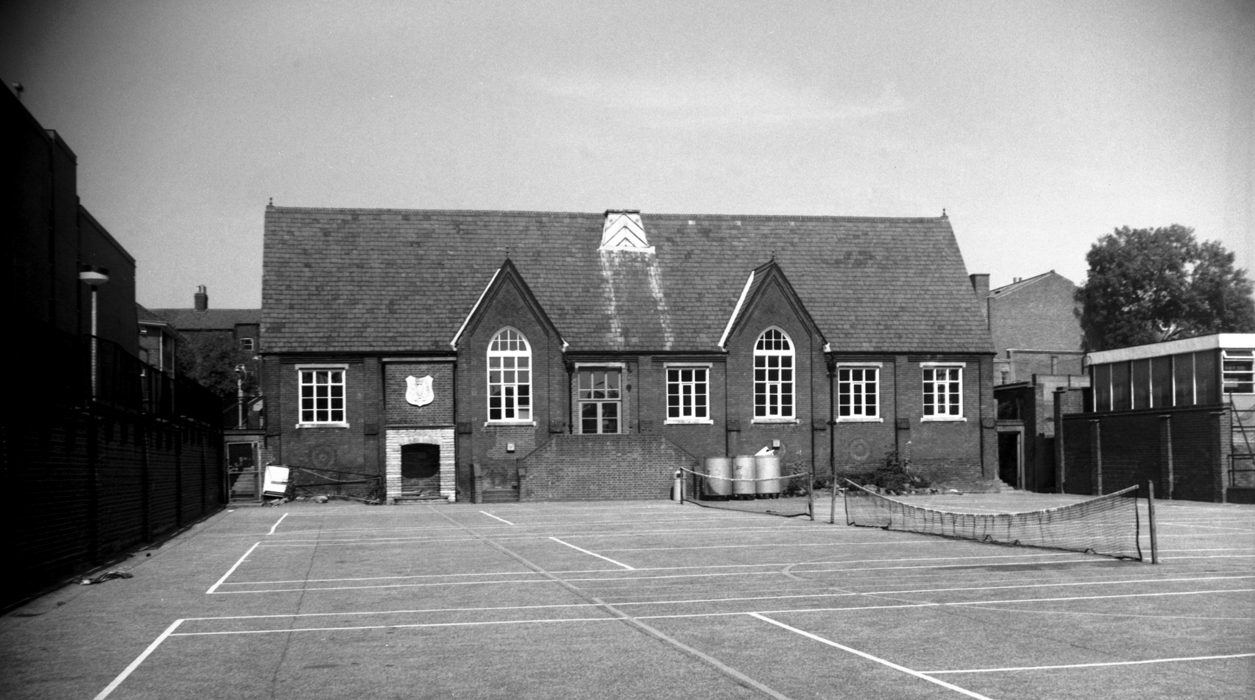
Surrey St Notre Dame School part [6576] 1989-07-21
Former Surrey Rd Boys school. Site of abandoned proposed
Inner Link road extension. |
|
|
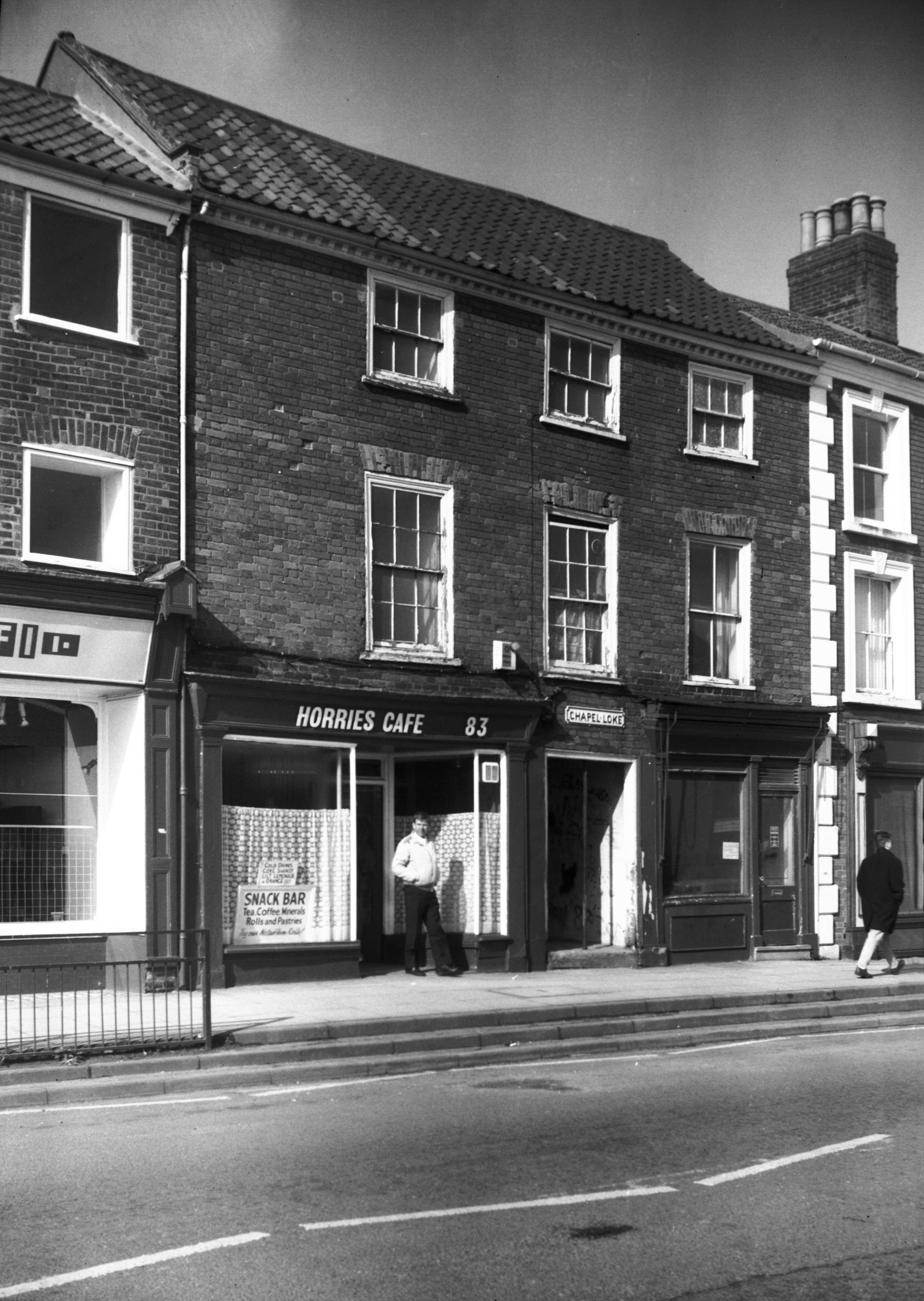
Ber St 83 rear from Chapel Loke [1800] 1937-07-17
Site of abandoned proposed Inner Link road extension. |