|
|
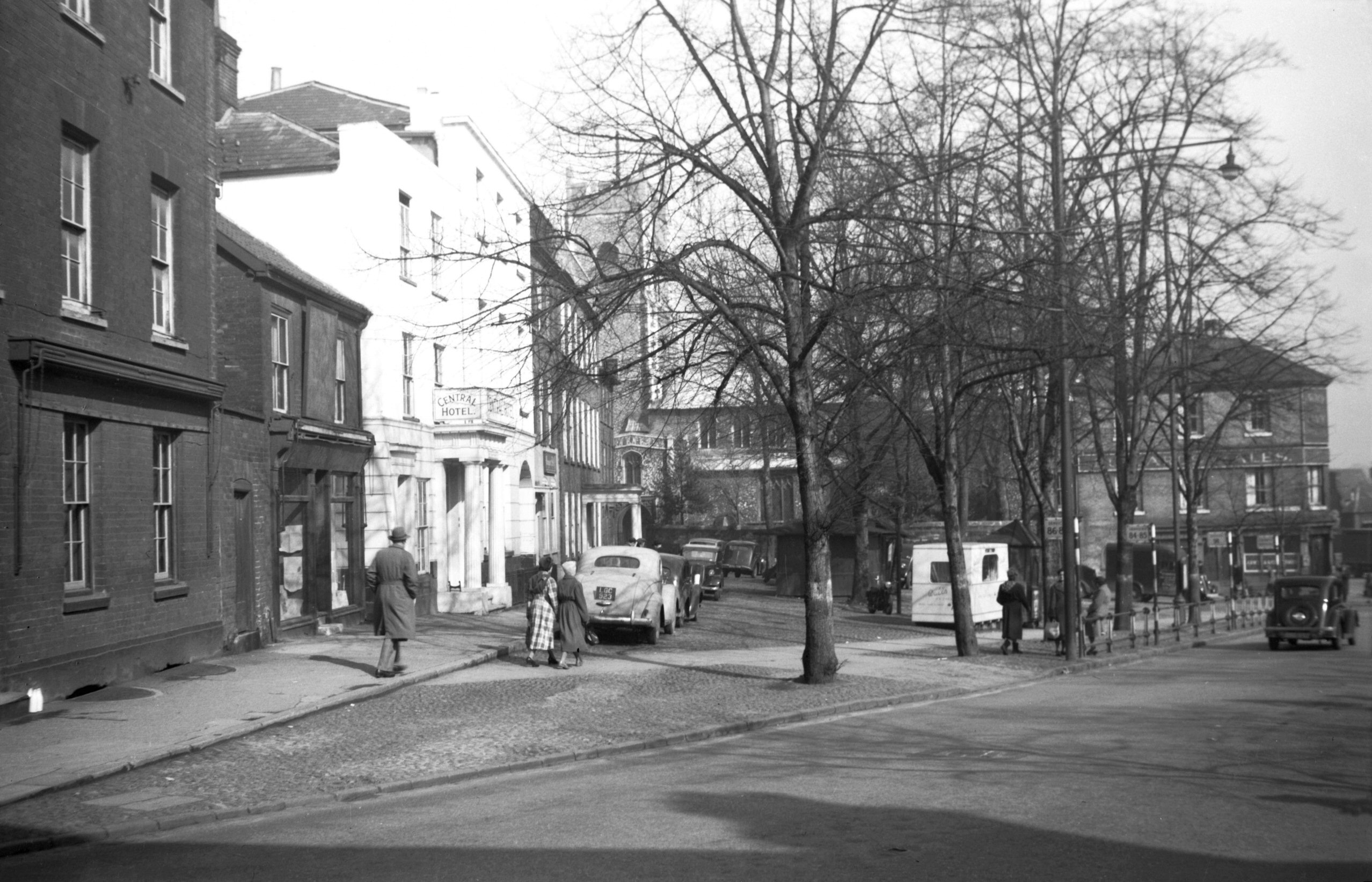
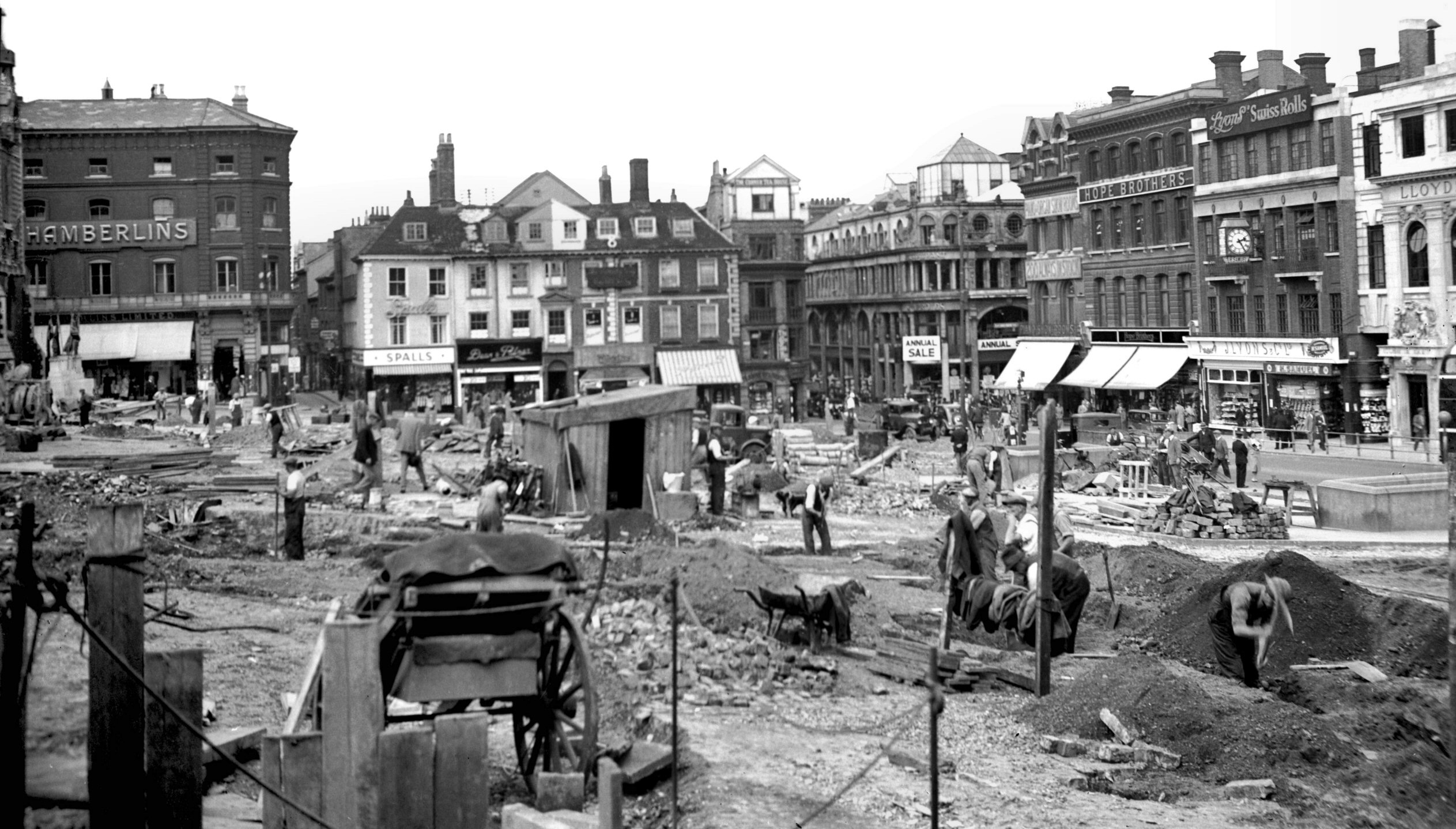
Tombland view north from Upper King St [3982]
1951-04-14
To trace the history of Norwich Market it is necessary to
go back to pre-Conquest times. At least three
settlements, founded by the Saxons and Danes on wither
side of the Wensum, and known respectively as Northwic,
Westwic and Conesford, grew and finally amalgamated into
one community. They sprang up adjacent to the crossing of
two roads - the one running from north to south and
passing over the Wensum at Fyebridge, the other running
from east to west (Holm-street - now Bishopgate - and
Westwick Way). The crossing was at a point just south of
Fyebridge on a site now called Tombland, and here the
Saxon Market seems to have been originally established. |
|
|
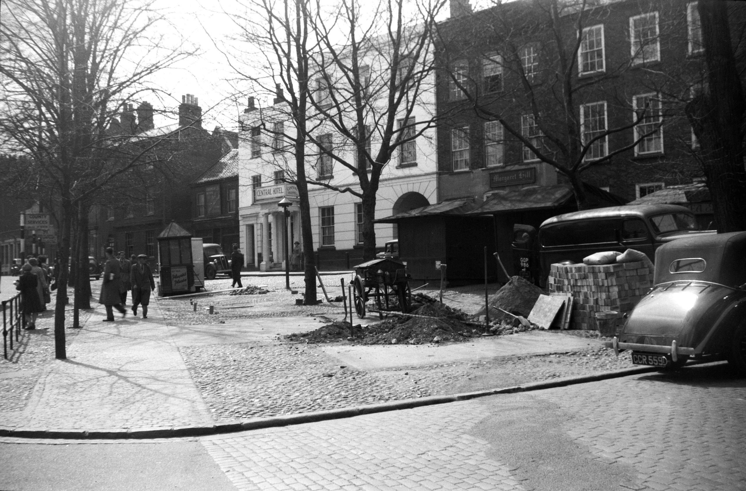
Tombland view SW [3986] 1951-04-19
|
|
|
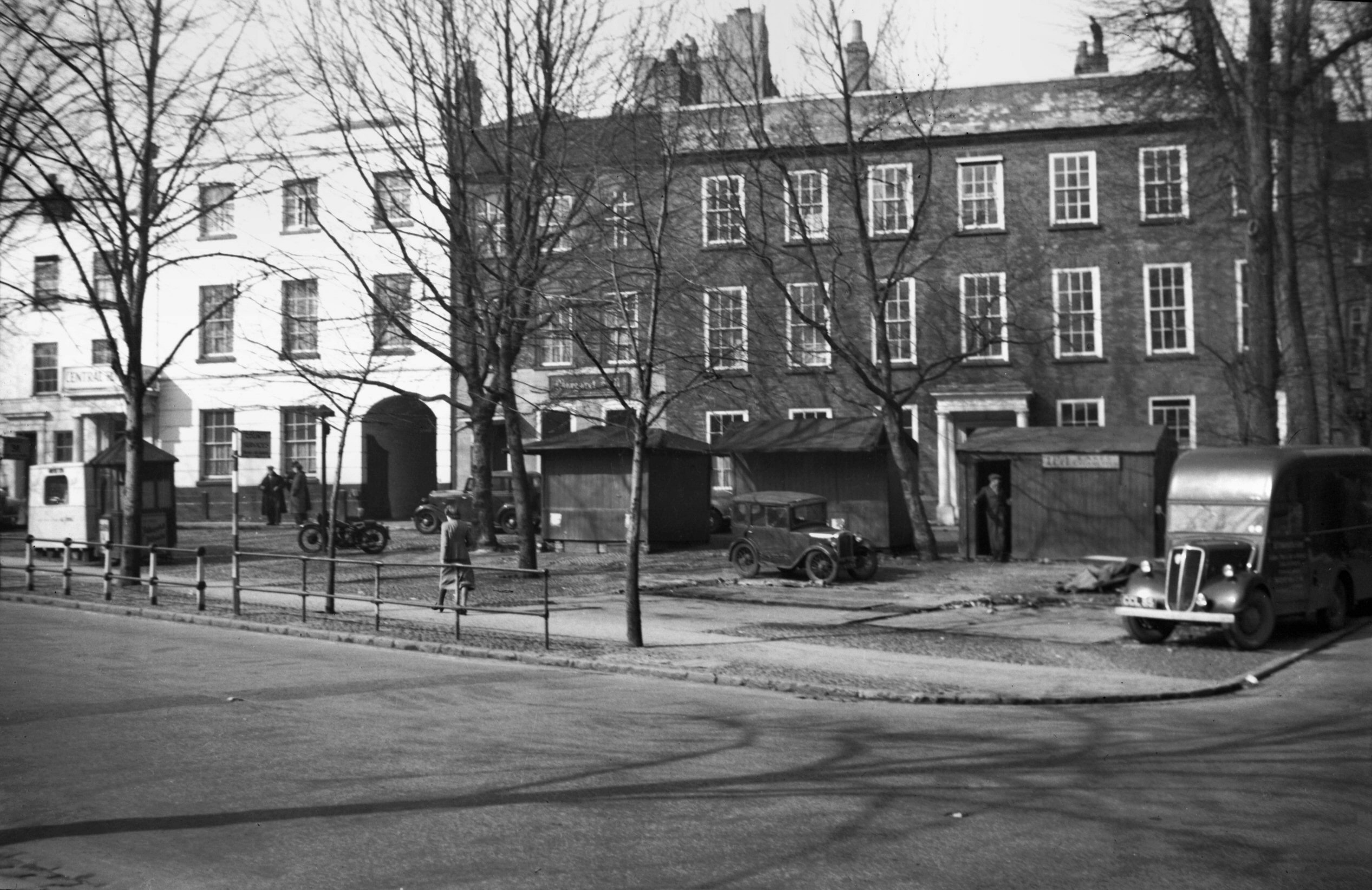
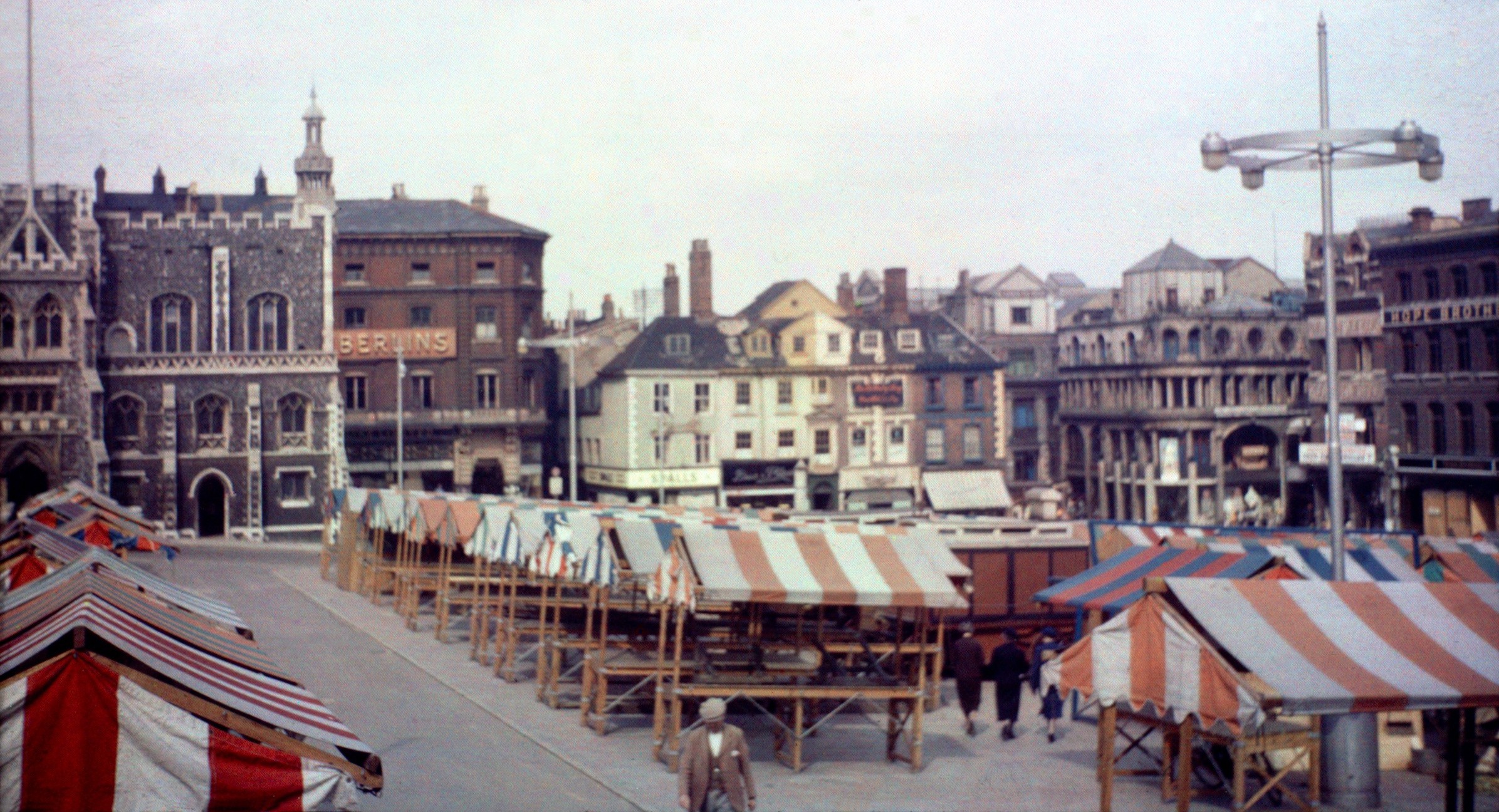
Tombland view west [3981] 1951-04-14
Tombland (from the Danish meaning an open piece of land)
has been an open space since Saxon times. In 1951 the
City Council decided to erect stalls here on brick and
concrete foundations. The old wooden stalls were set back
from their original sites in preparation for the new
work, but at the last moment the Norwich Society obtained
an injunction restraining the Corporation from carrying
out their decision, and the old stalls were instead
replaced by mobile vans. |
|
|
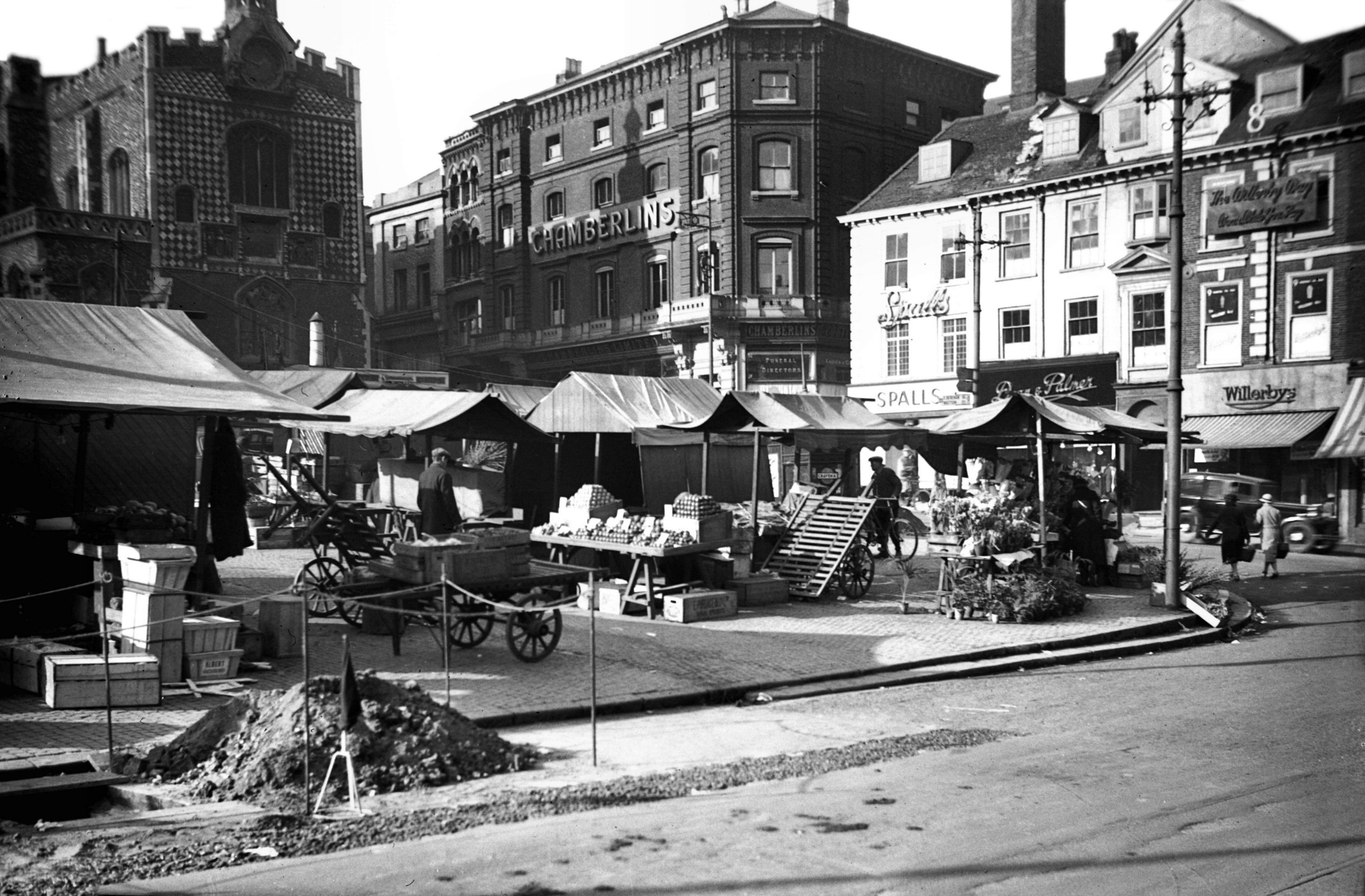
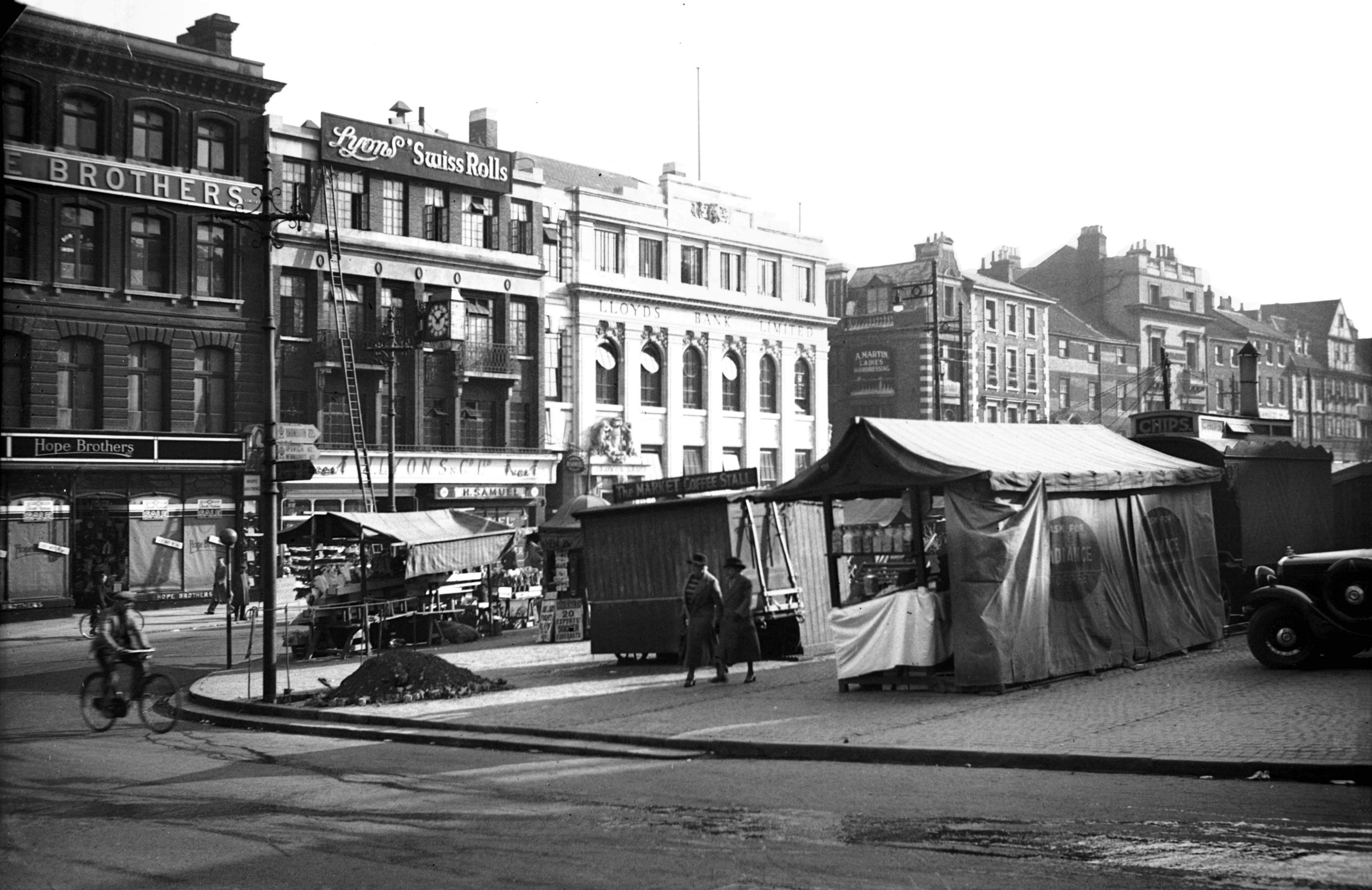
The Market NE corner from The Walk [2086]
1938-02-24
The invasion by the Normans established a "new
burgh" in what are now the parishes of St Giles and
St Peter Mancroft. Here they founded a new market, and
with the erection of the King's Tollhouse within its
bounds (where all burghesses had to repair to pay their
dues), it was inevitable that within a few generations
the original Saxon mart at Tombland became entirely
eclipsed. |
|
|
The Market NE corner from Guildhall Hill [2087]
1938-02-24
|
|
|
The Market widening The Walk view north [2088]
1938-02-24
|
|
|
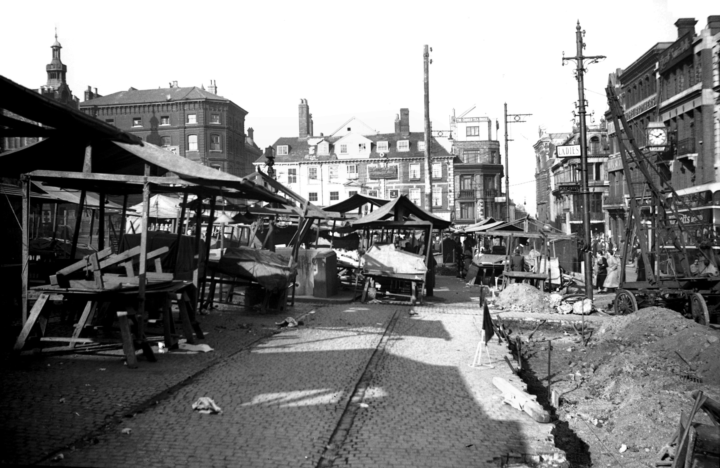
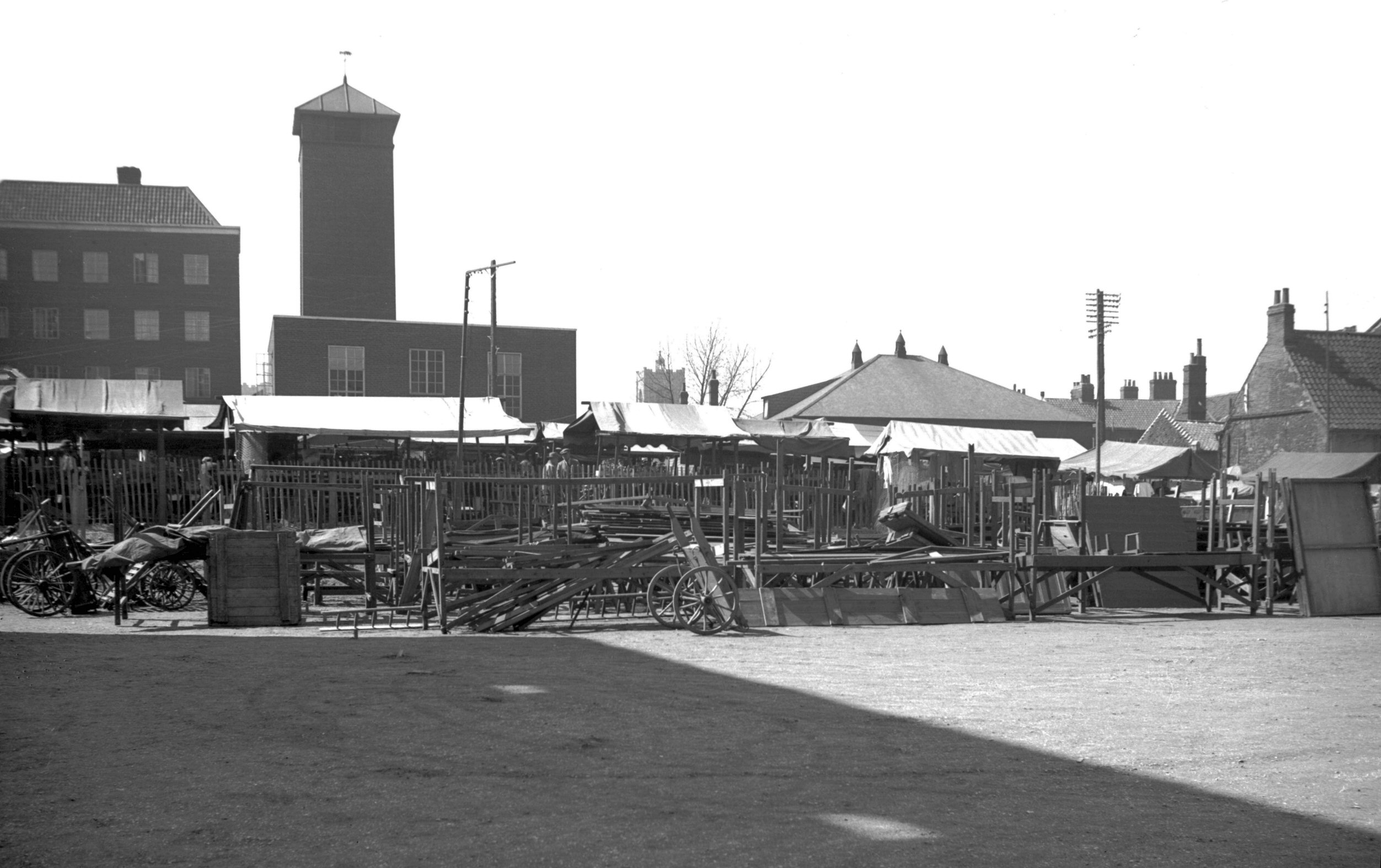
The Market lumber market view south [2110] 1938-03-05
|
|
|
The Market lumber market view north [2111] 1938-03-05
|
|
|
The Market lumber market behind Tin Hut [2112]
1938-03-05
|
|
|
The Market general view north [2113] 1938-03-05
|
|
|
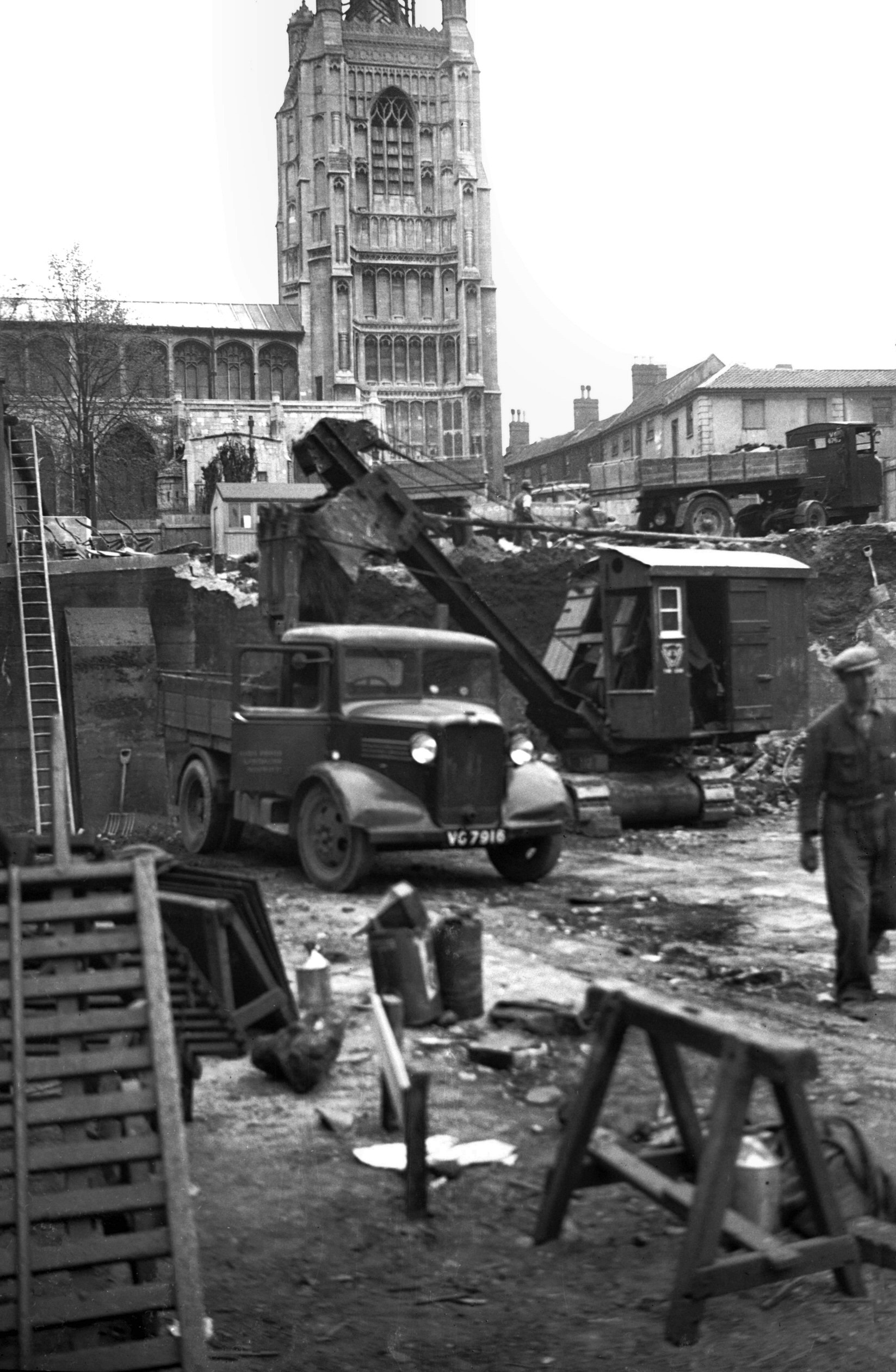
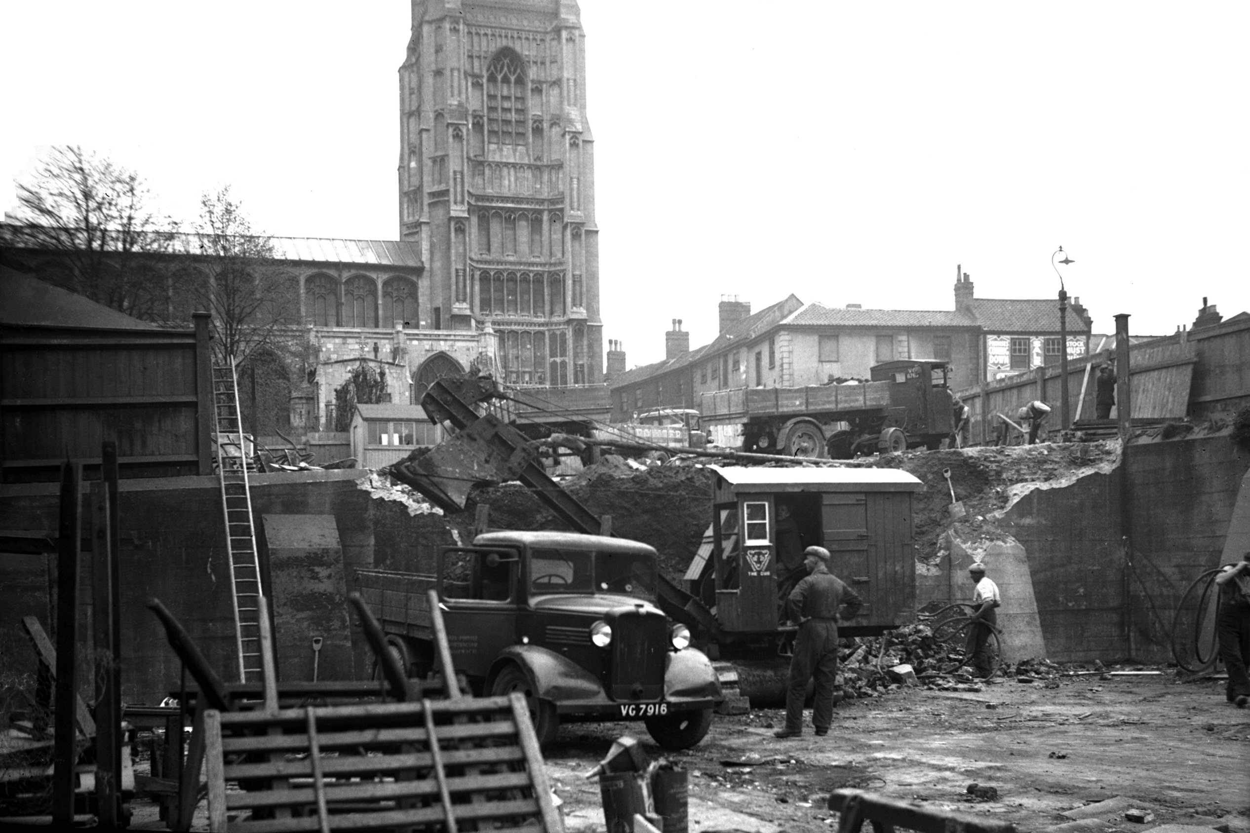
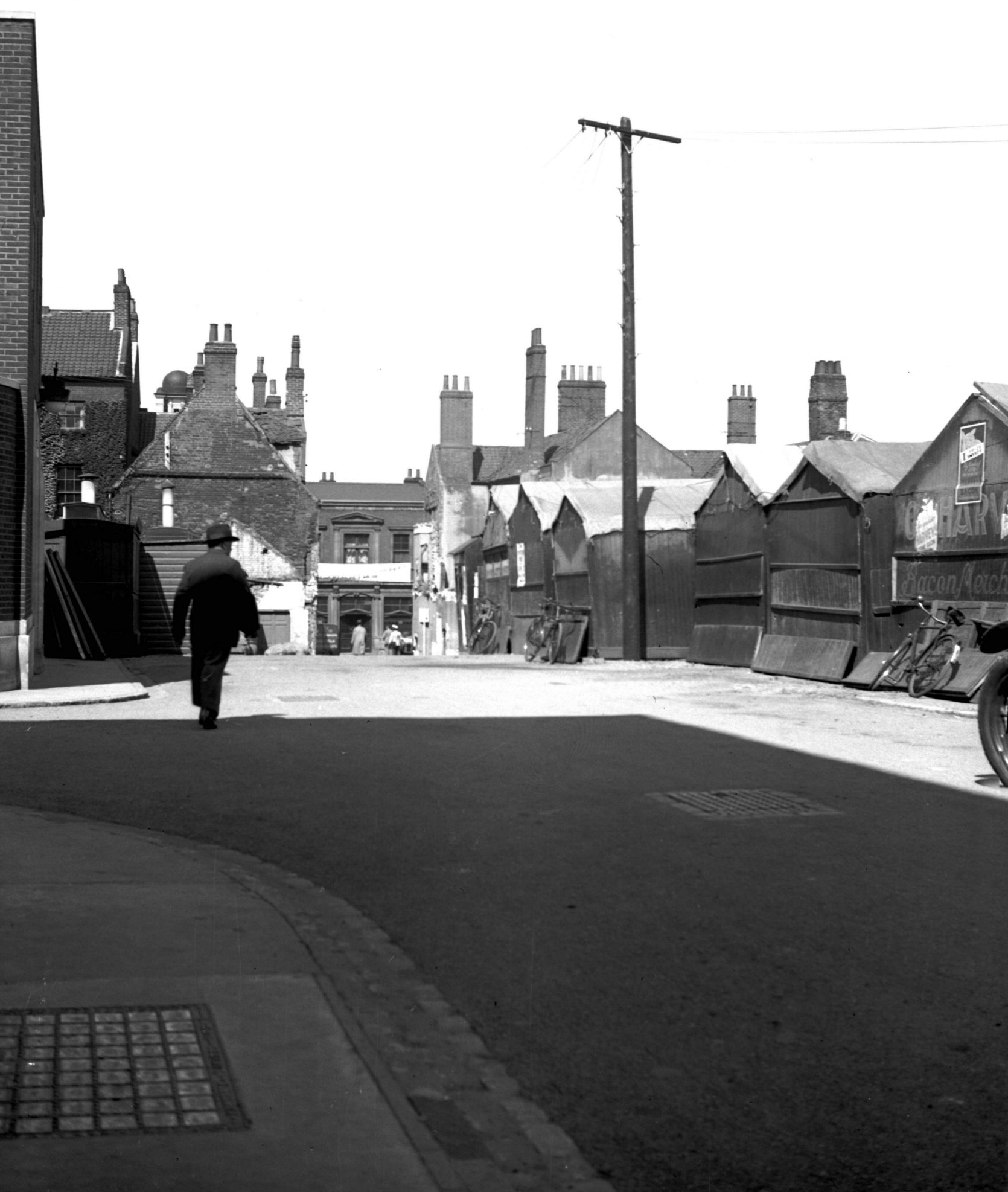
The Market old fish market excavation [2305]
1938-04-13
Excavating the Market Place at rear of the "Tin
Hut". |
|
|
The Market old fish market excavation [2306]
1938-04-13
|
|
|
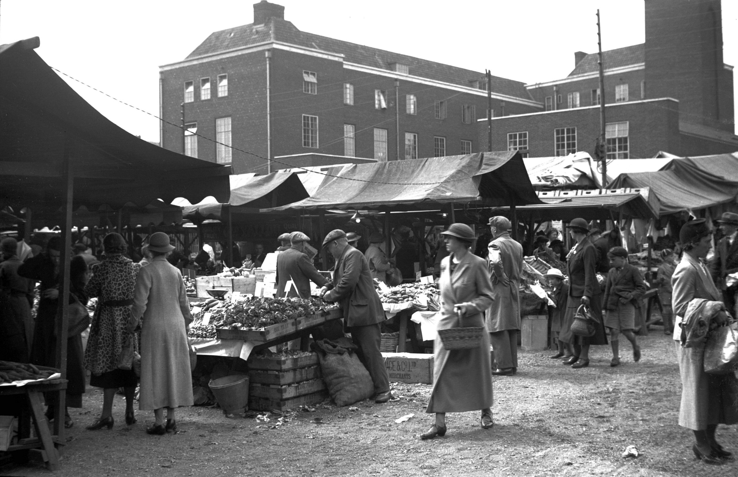
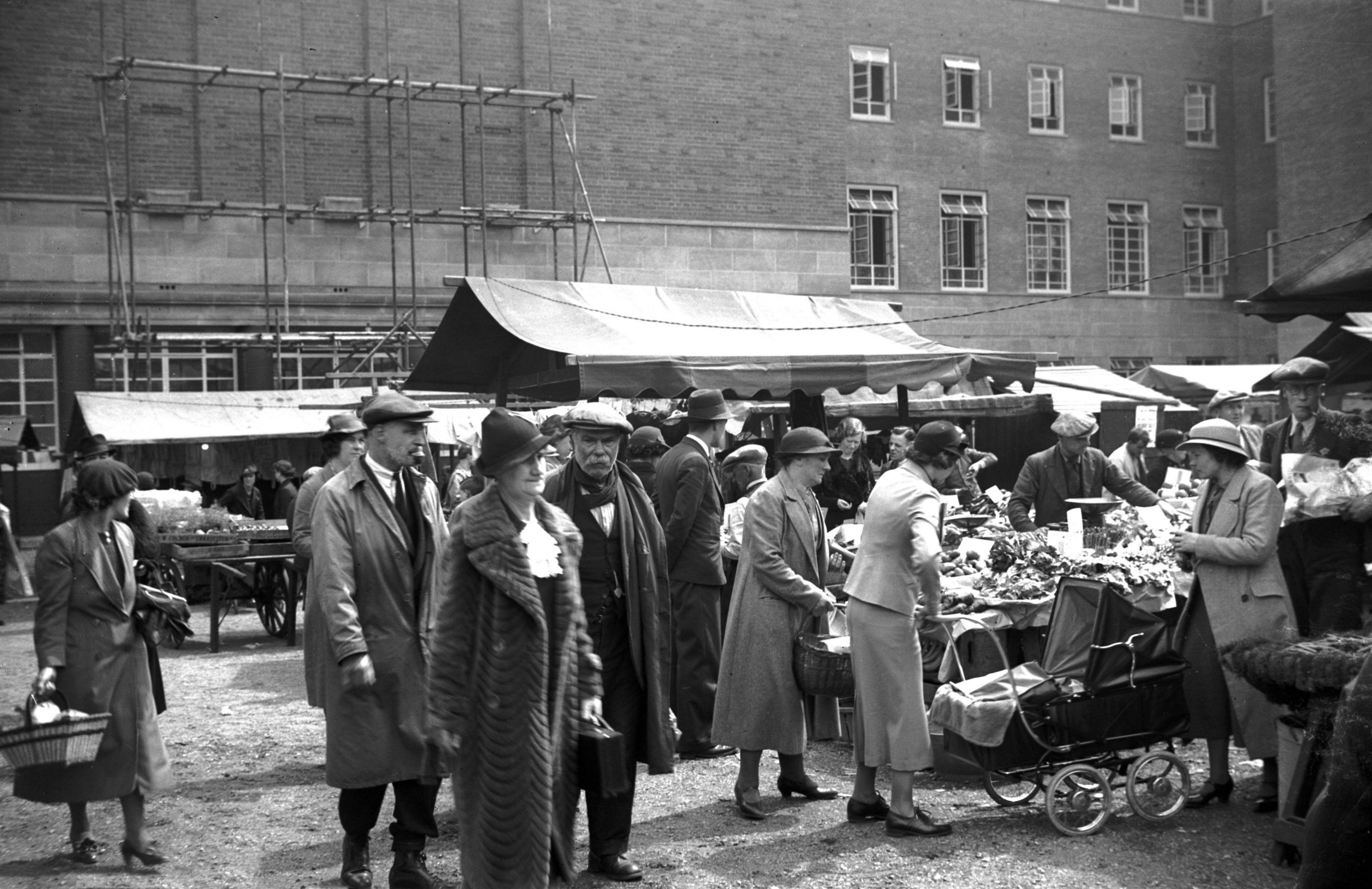
The temporary market Bethel St view east [2363]
1938-05-04
Temporary location in Bethel St and City Hall courtyard
during reconstruction of the Market Place. |
|
|
The temporary market City Hall rear view N [2364]
1938-05-04
|
|
|
The temporary market City Hall rear view S [2365]
1938-05-04
|
|
|
The temporary market Bethel St view west [2366]
1938-05-04
|
|
|
The temporary market City Hall rear view W [2367]
1938-05-04
|
|
|
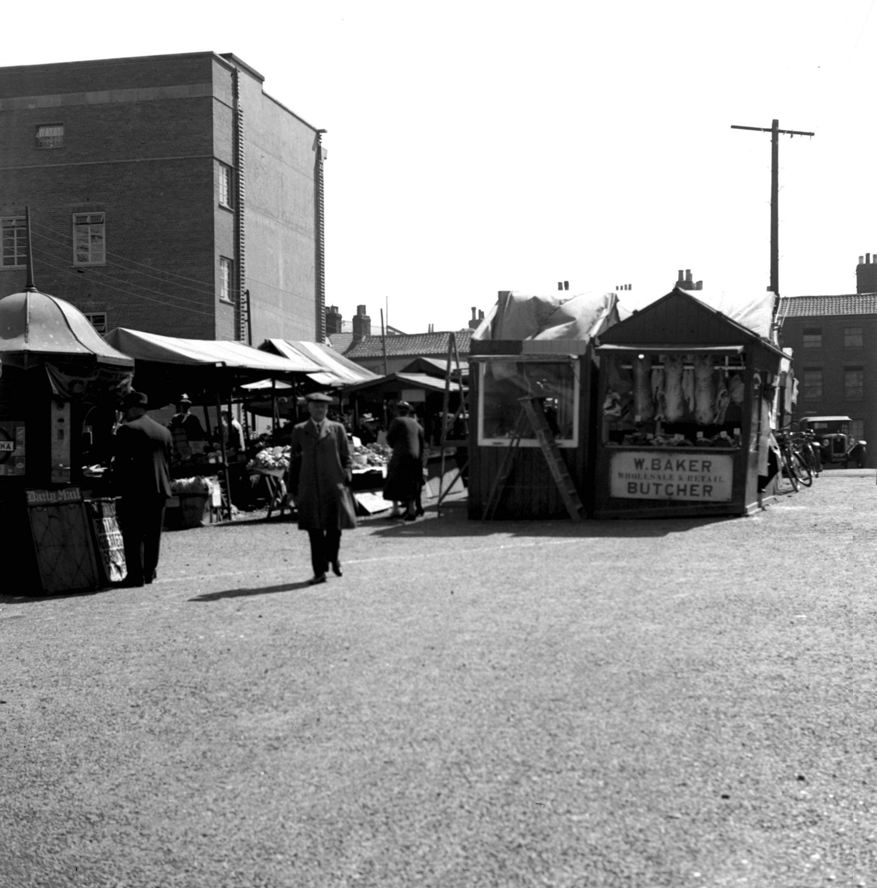
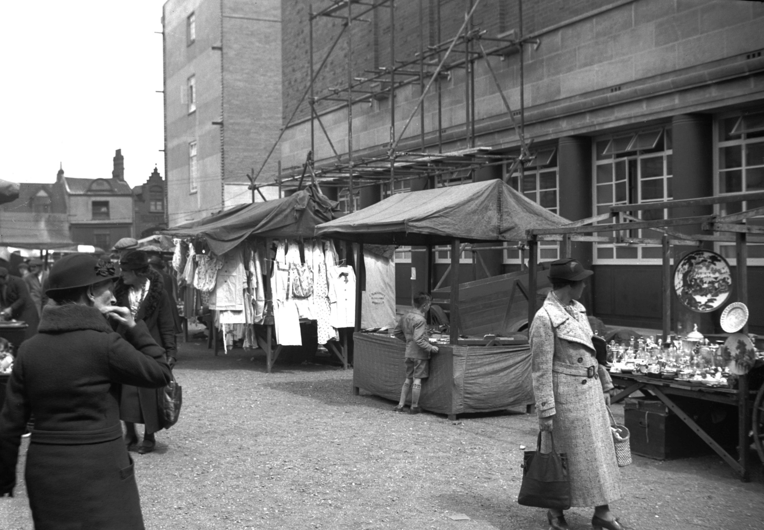
The temporary market City Hall sandpit [2391]
1938-05-14
Area familiarly known as the "Sand pit". |
|
|
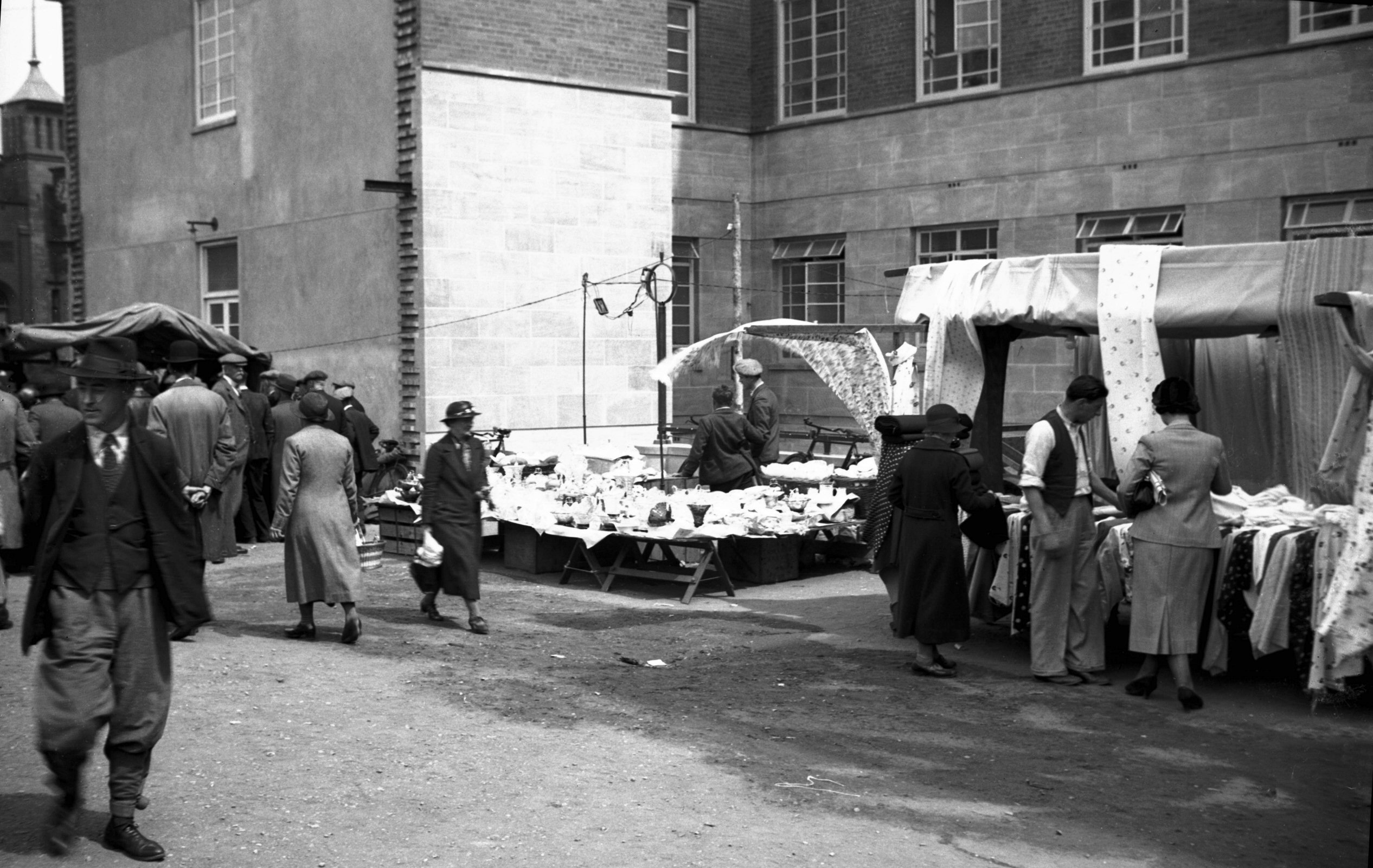
The temporary market City Hall courtyard [2392]
1938-05-14
|
|
|
The temporary market City Hall courtyard [2393]
1938-05-14
|
|
|
The temporary market City Hall sandpit [2394]
1938-05-14
|
|
|
The Market Tin Hut before demolition [2389]
1938-05-14
|
|
|
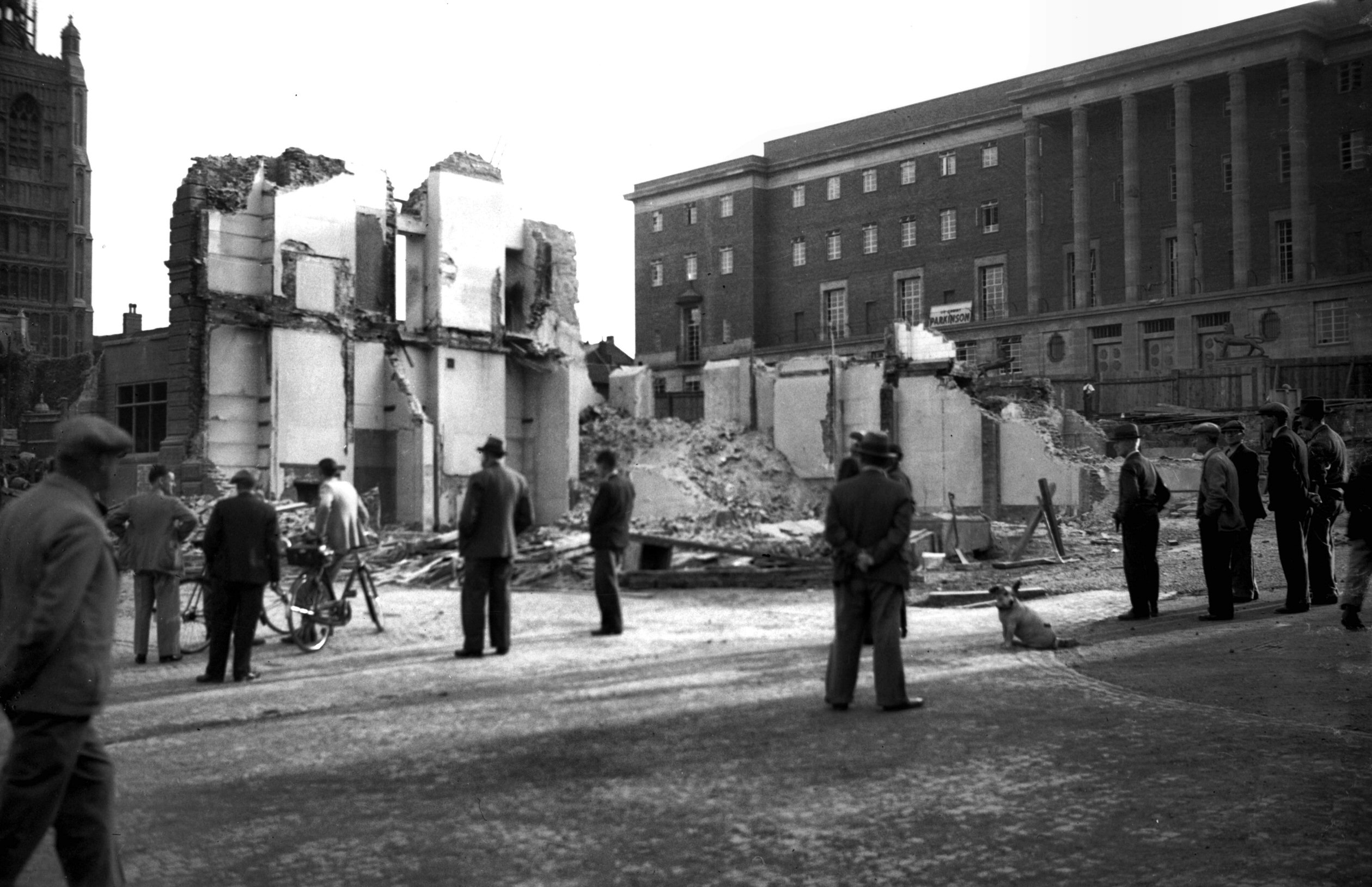
The Market Municipal buildings demolition [2387]
1938-05-14
|
|
|
The Market Municipal buildings demolition [2388]
1938-05-14
|
|
|
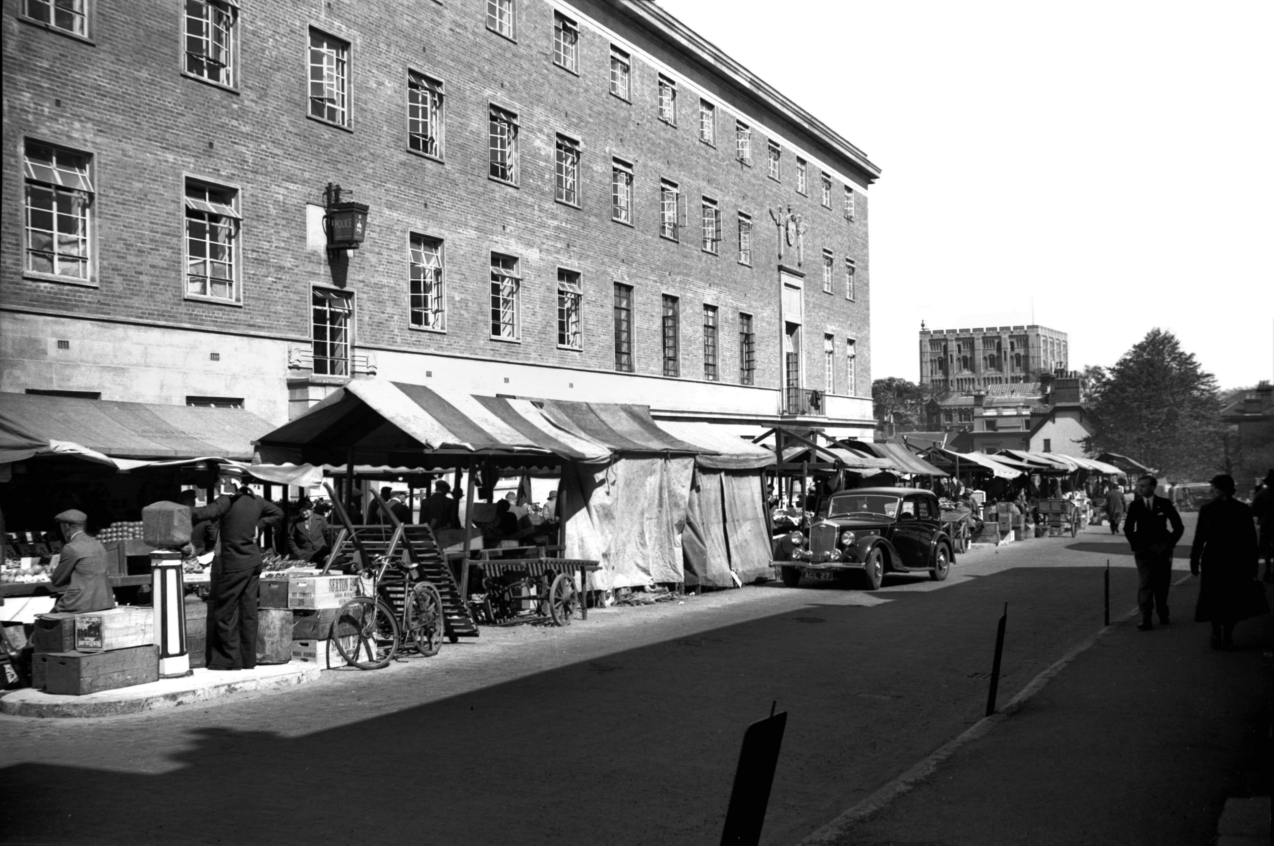
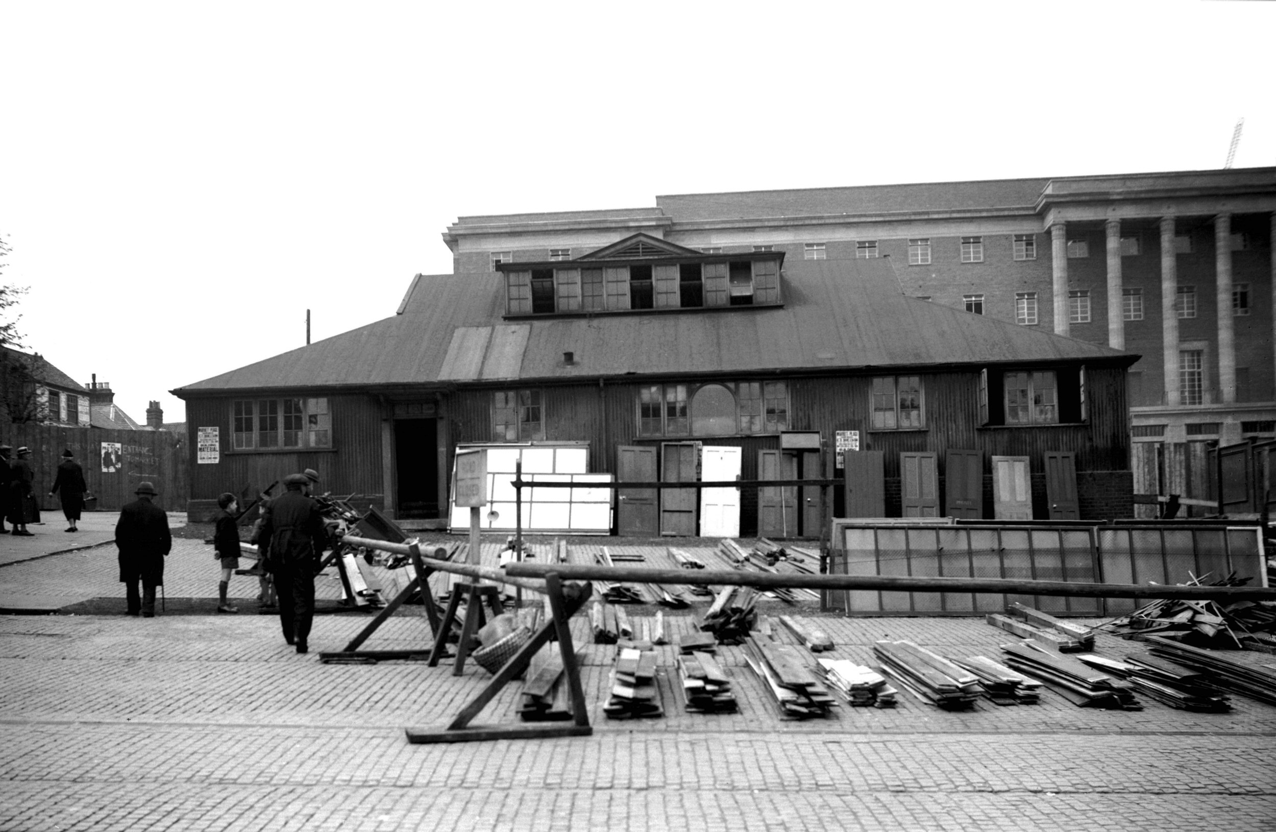
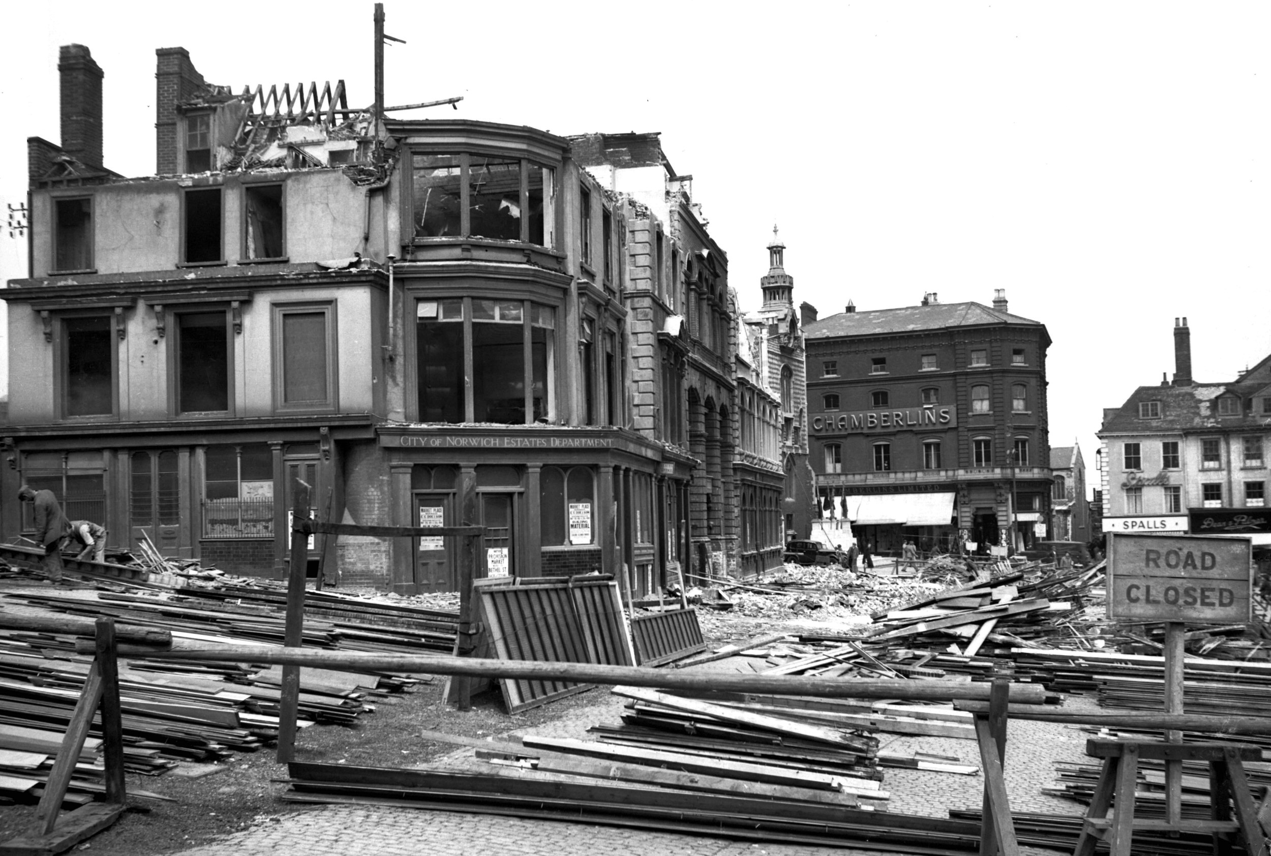
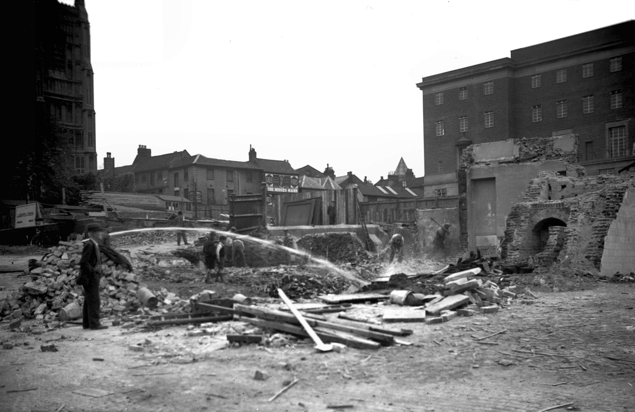
The Market Municipal buildings demolition [2390]
1938-05-14
Demolition of old Municipal buildings on west side of
Market Place prior to its enlargement. The old materials
laid out, ready to be auctioned. |
|
|
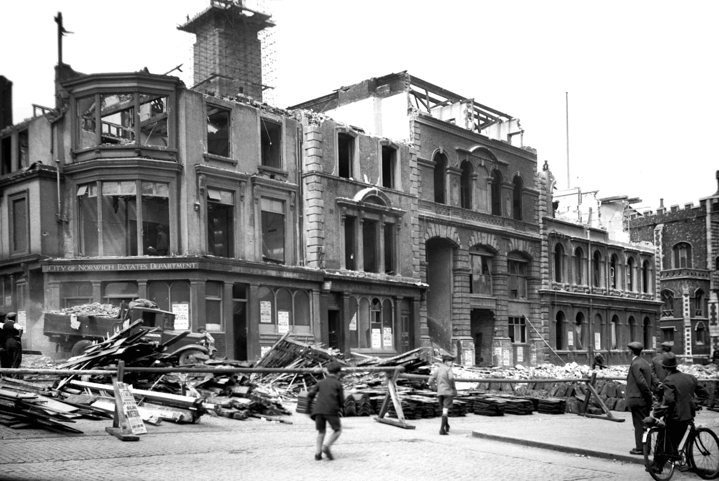
The Market Municipal buildings demolition [2460]
1938-06-16
|
|
|
The Market Municipal buildings demolition [2461]
1938-06-16
|
|
|
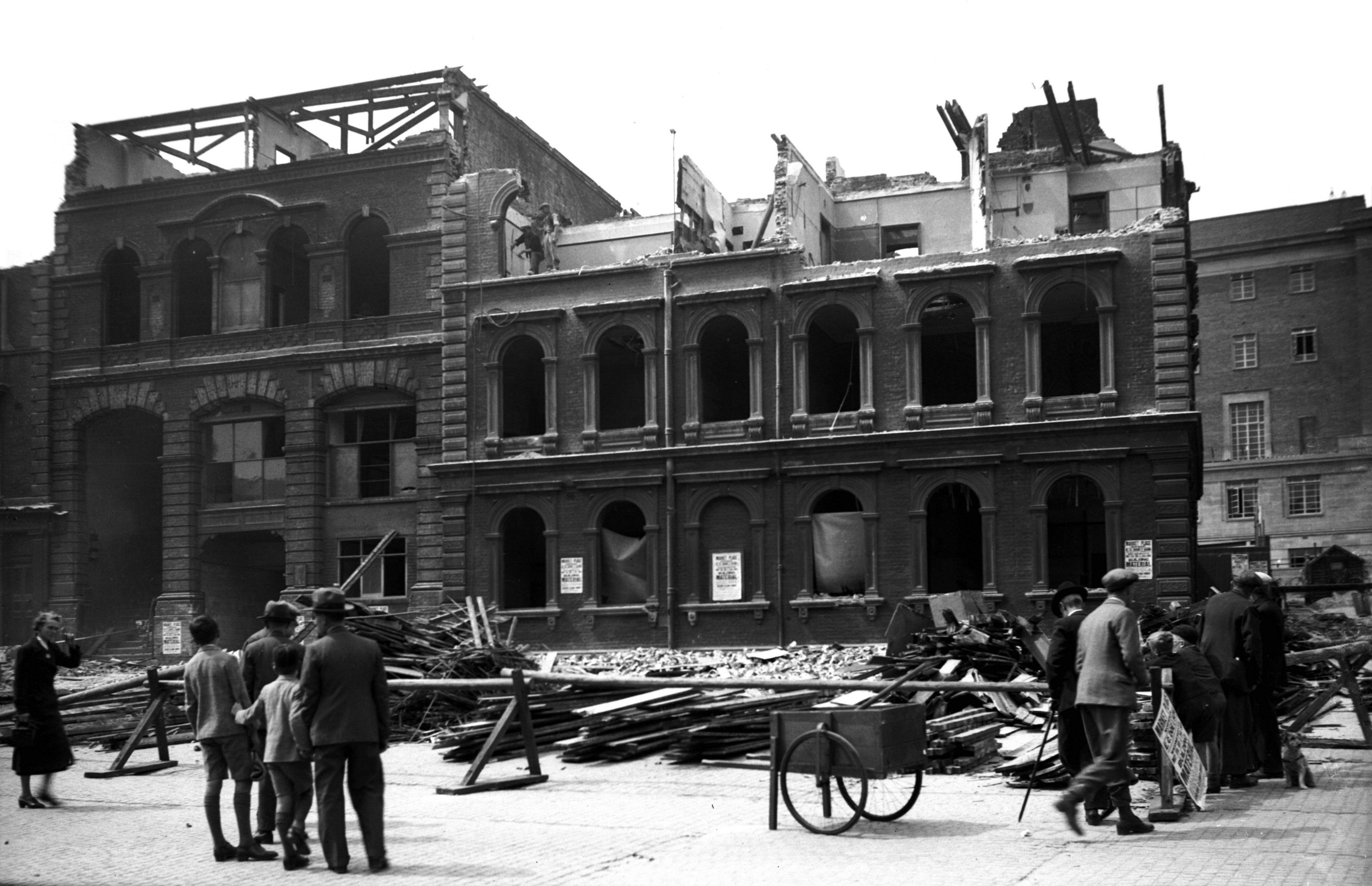
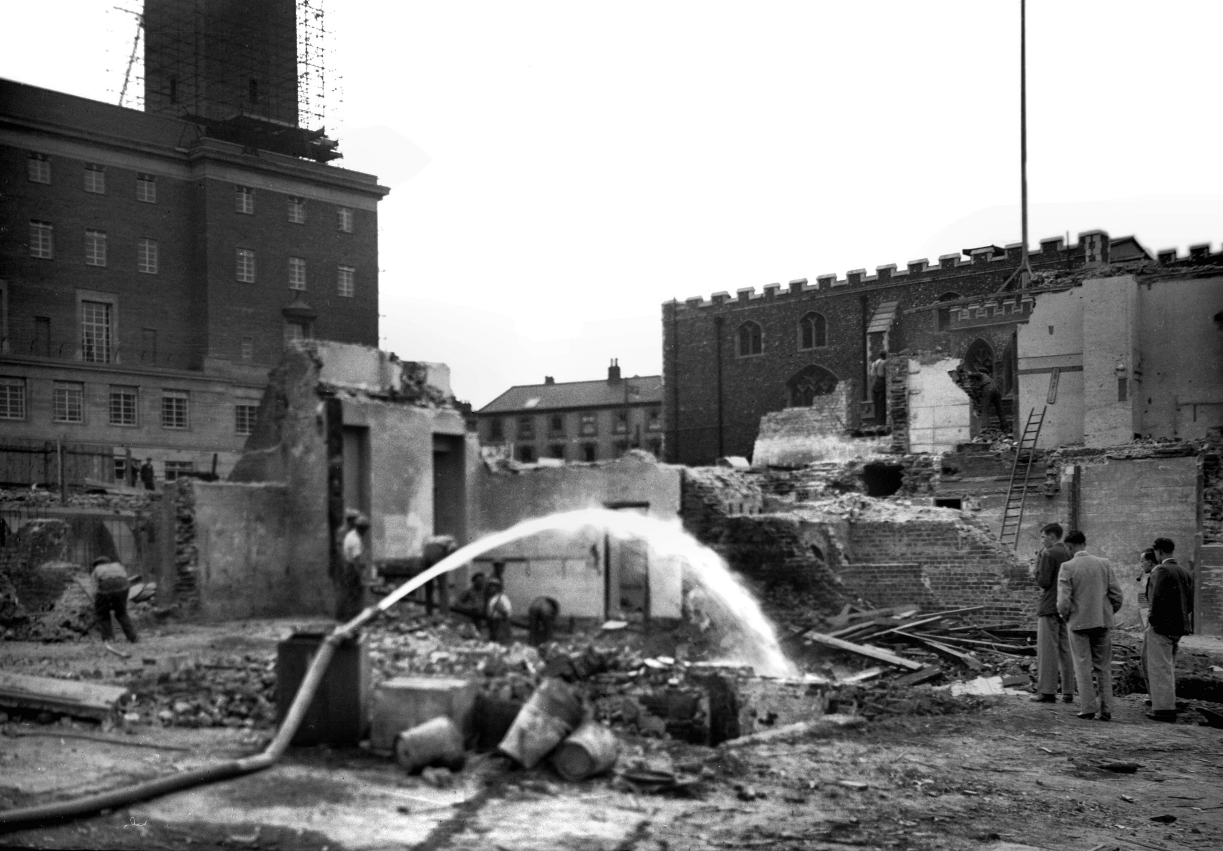
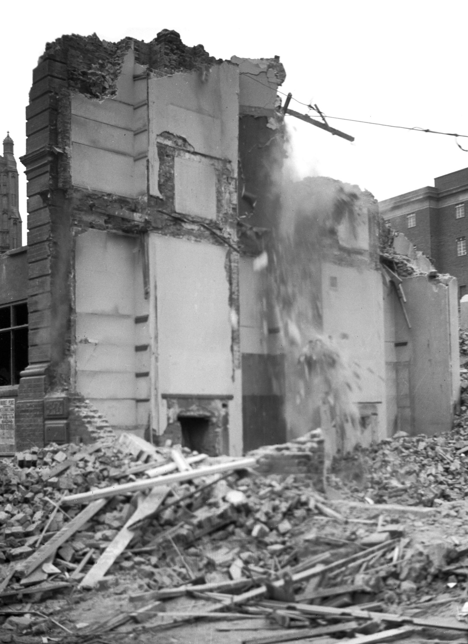
The Market Municipal buildings demolition [2462]
1938-06-16
Owing to the dry weather, a hose had to be played to keep
the dust down. |
|
|
The Market Municipal buildings demolition [2463]
1938-06-16
|
|
|
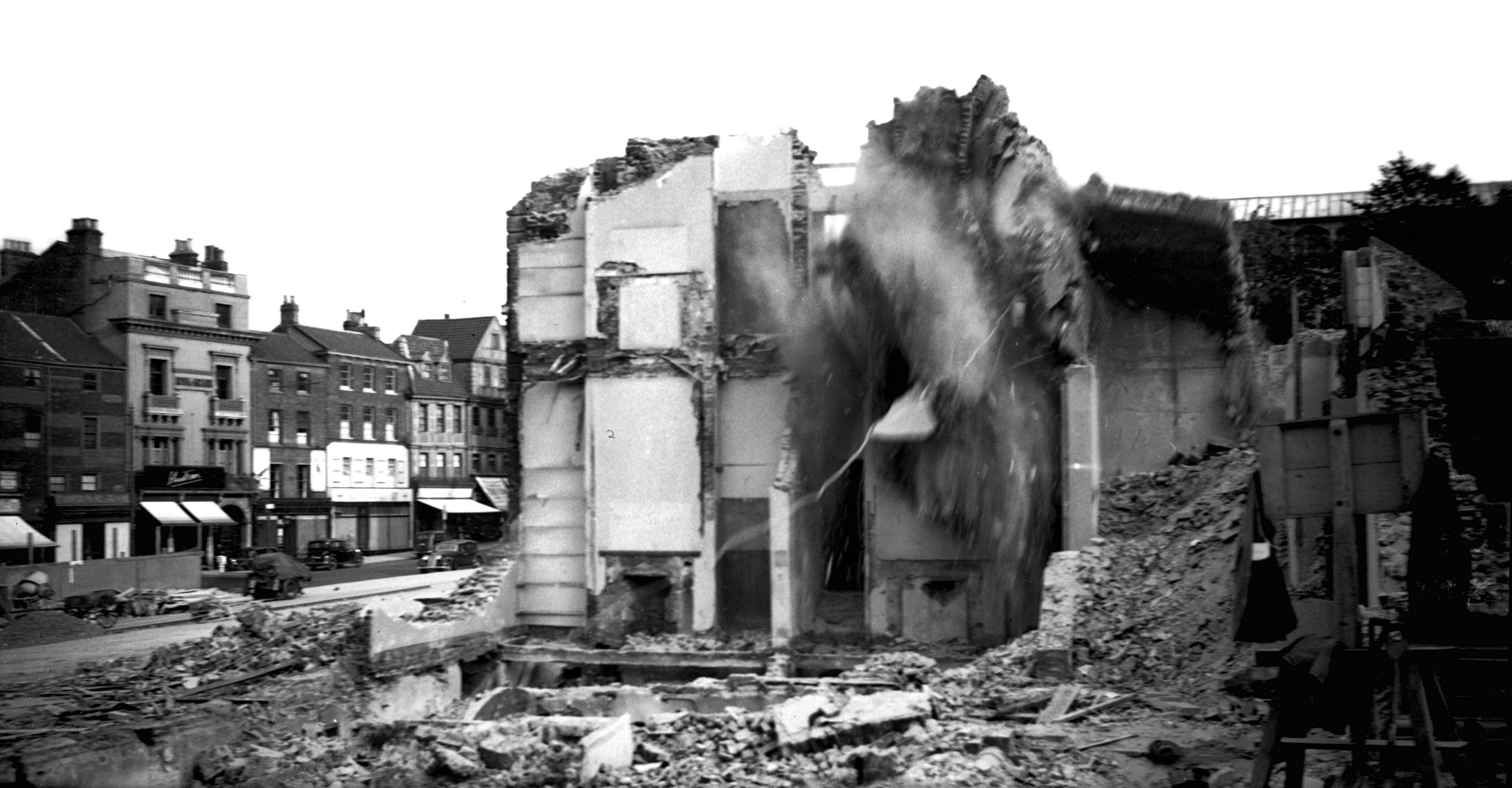
The Market Municipal buildings demolition [2464]
1938-06-16
Fragments of wall being felled by means of a chain
attached to one of Messrs.Pointer's lorries. The last of
the old Municipal buildings. |
|
|
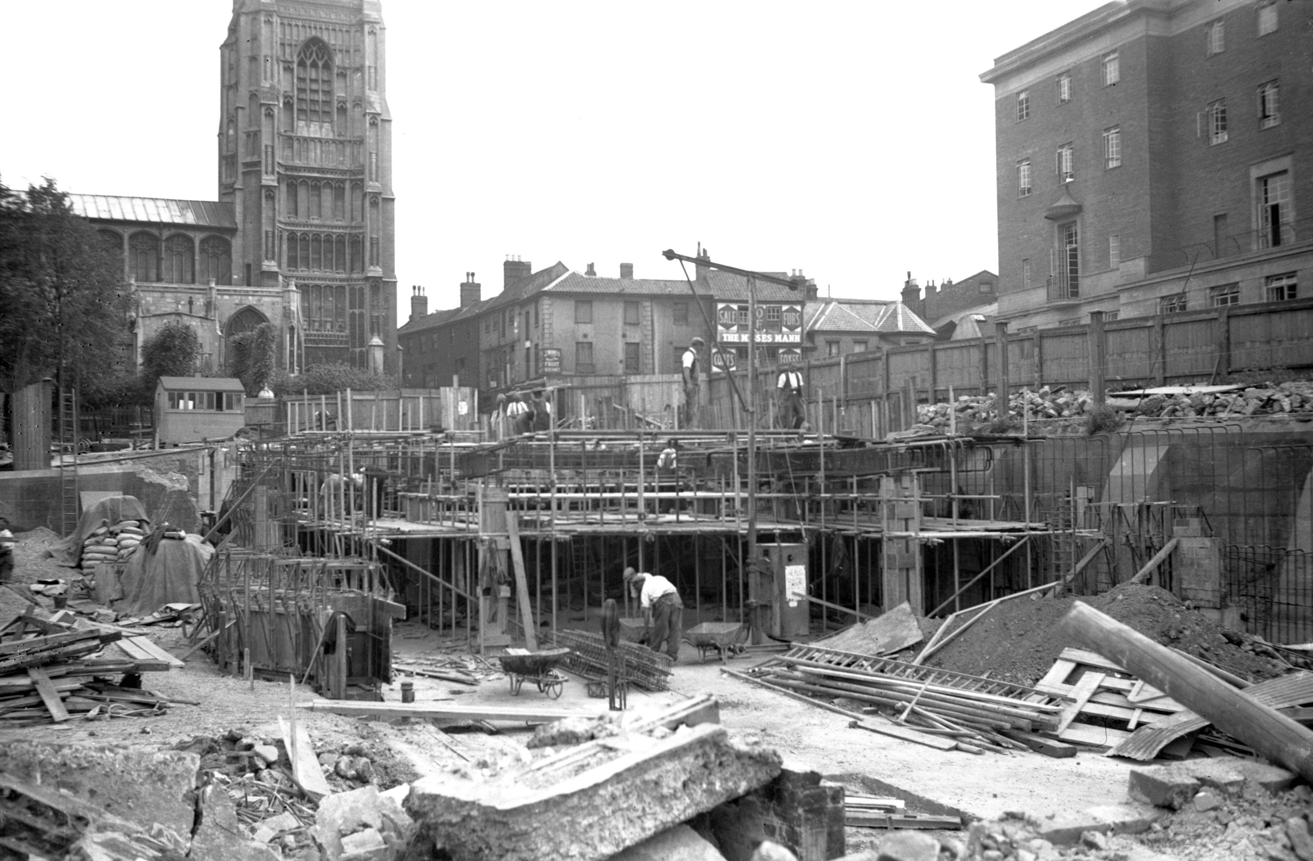
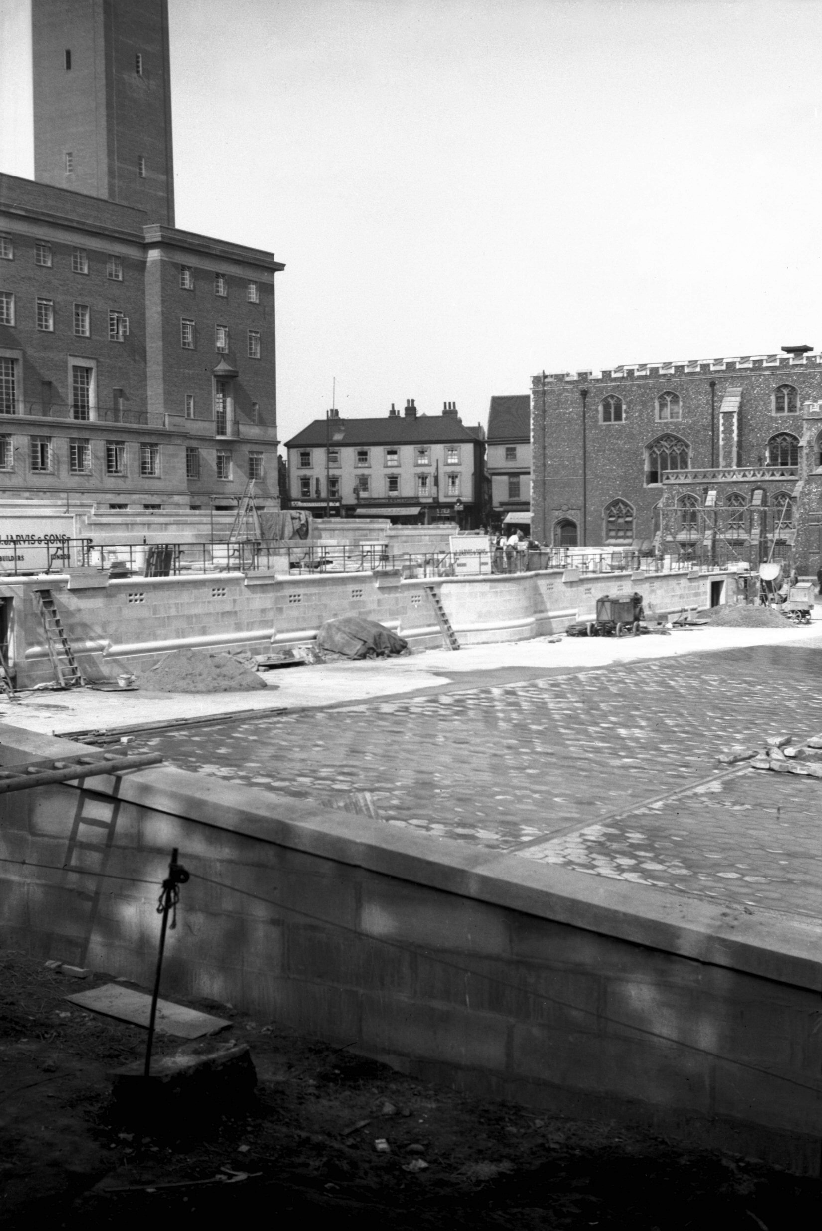
The Market construction of terrace [2496] 1938-06-20
At rear of Market Place on site of old Fish Market. |
|
|
The Market Gaol Hill extension construction [2511]
1938-06-26
New road between Gaol Hill and the Walk. |
|
|
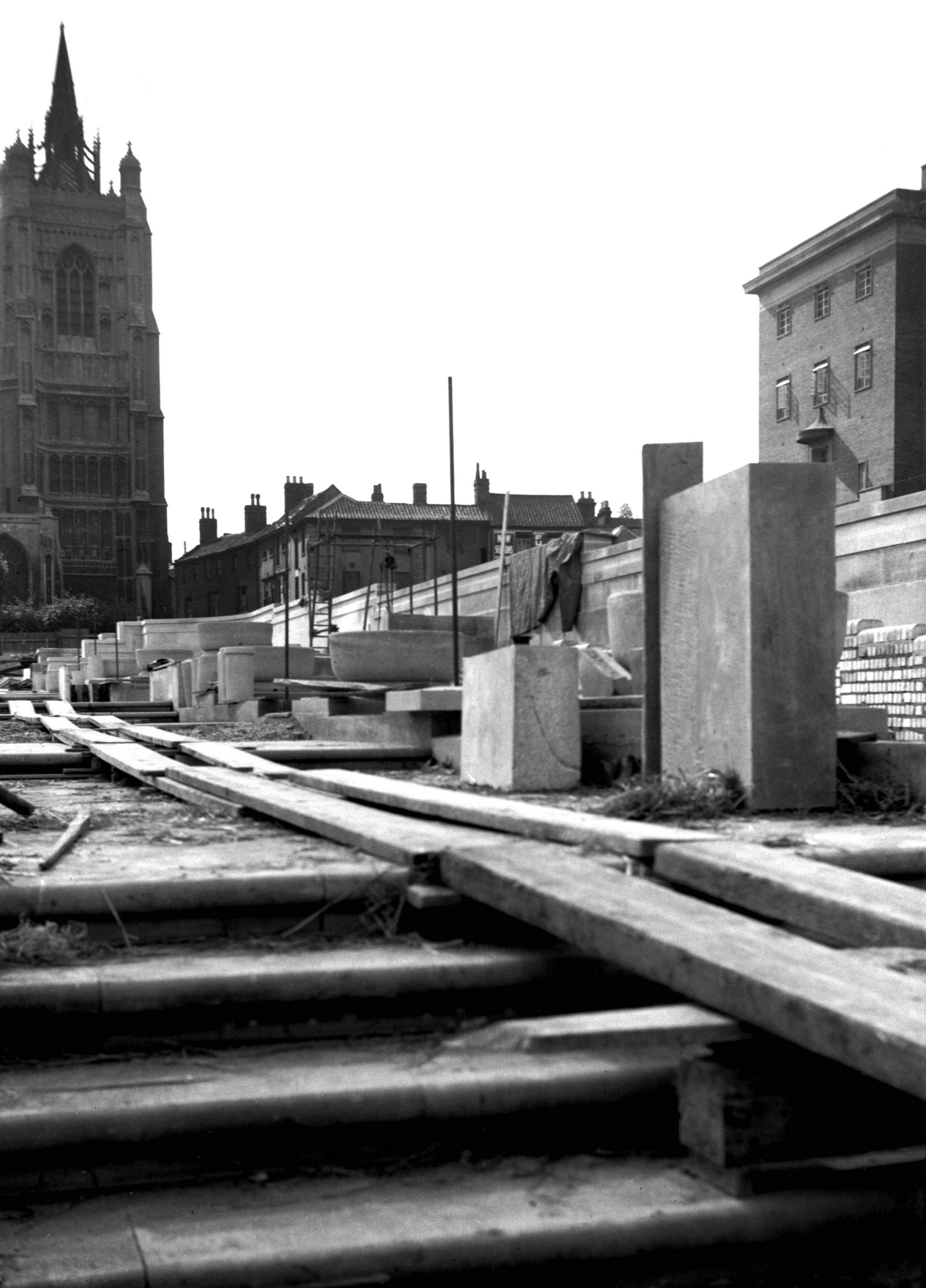
The Market reconstruction view north [2522]
1938-07-06
|
|
|
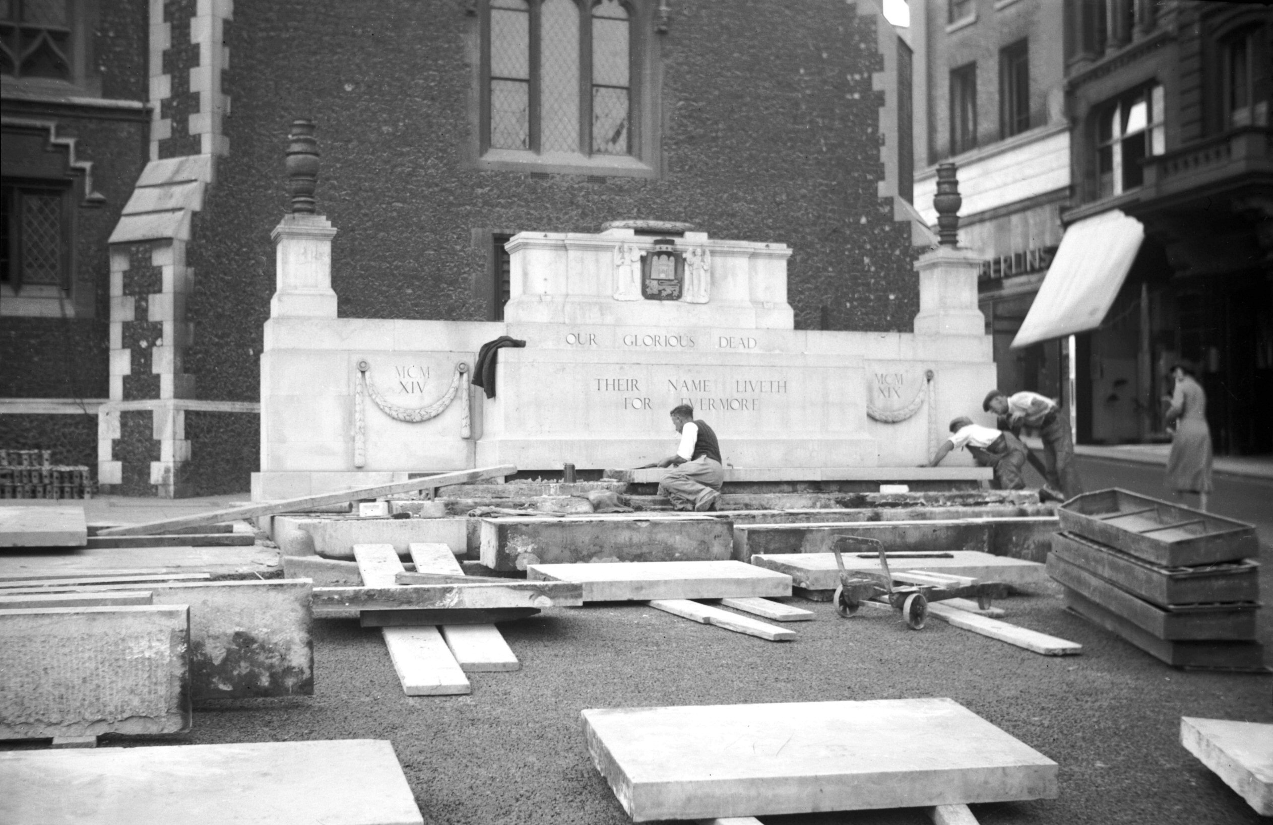
The Market dismantling War Memorial [2803] 1938-09-23
Being moved from in front of Guildhall to a new garden on
west side of Market Place. |
|
|
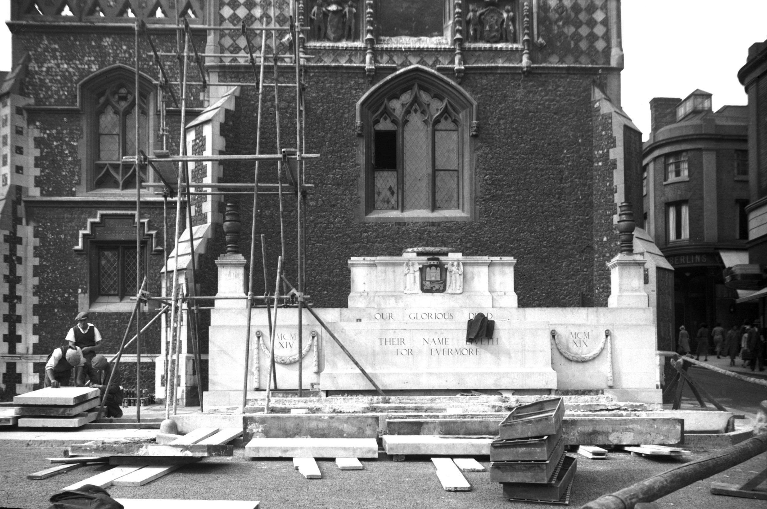
The Market dismantling War Memorial [2804] 1938-09-24
|
|
|
The Market repaved view SW [2805] 1938-09-24
|
|
|
The Market repaved view NW [2806] 1938-09-24
|
|
|
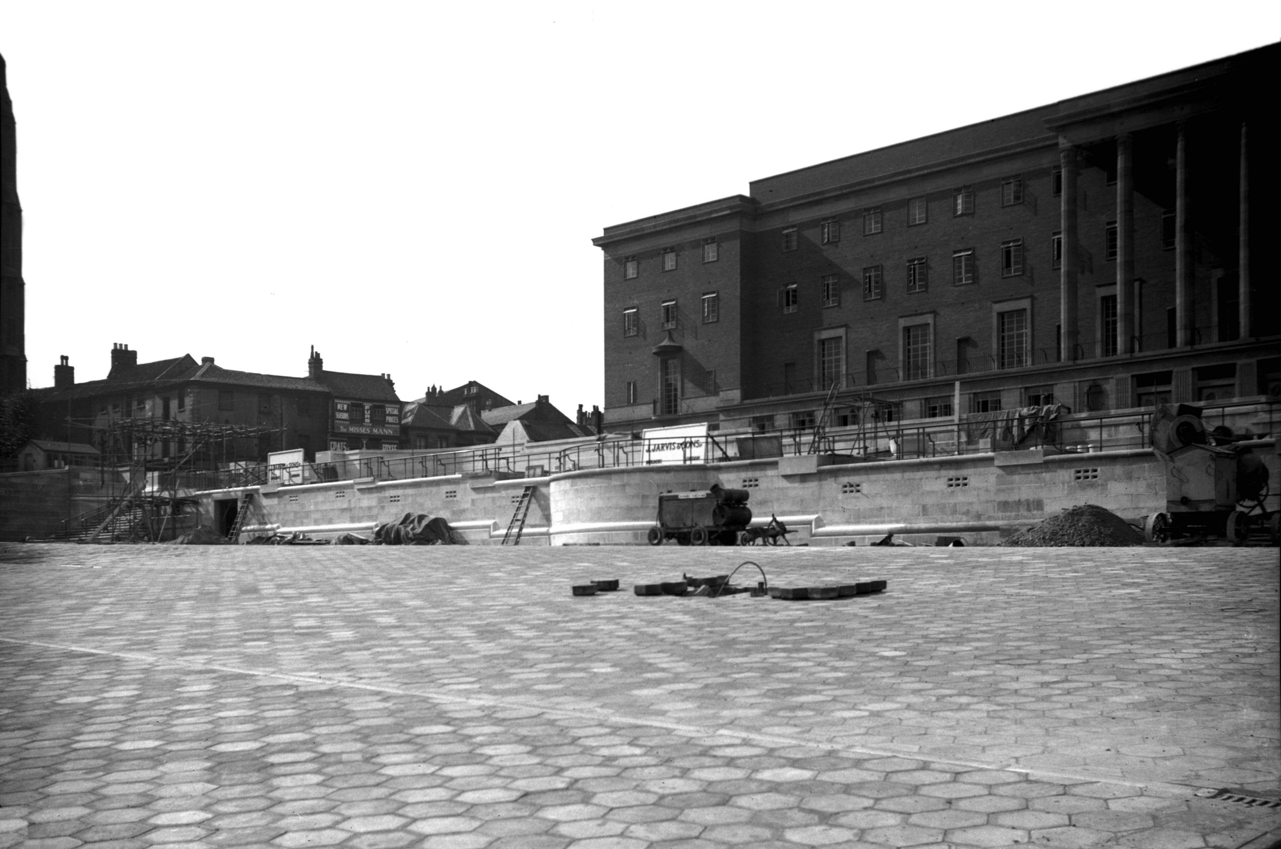
The Market War Memorial garden construction [2807]
1938-09-24
|
|
|
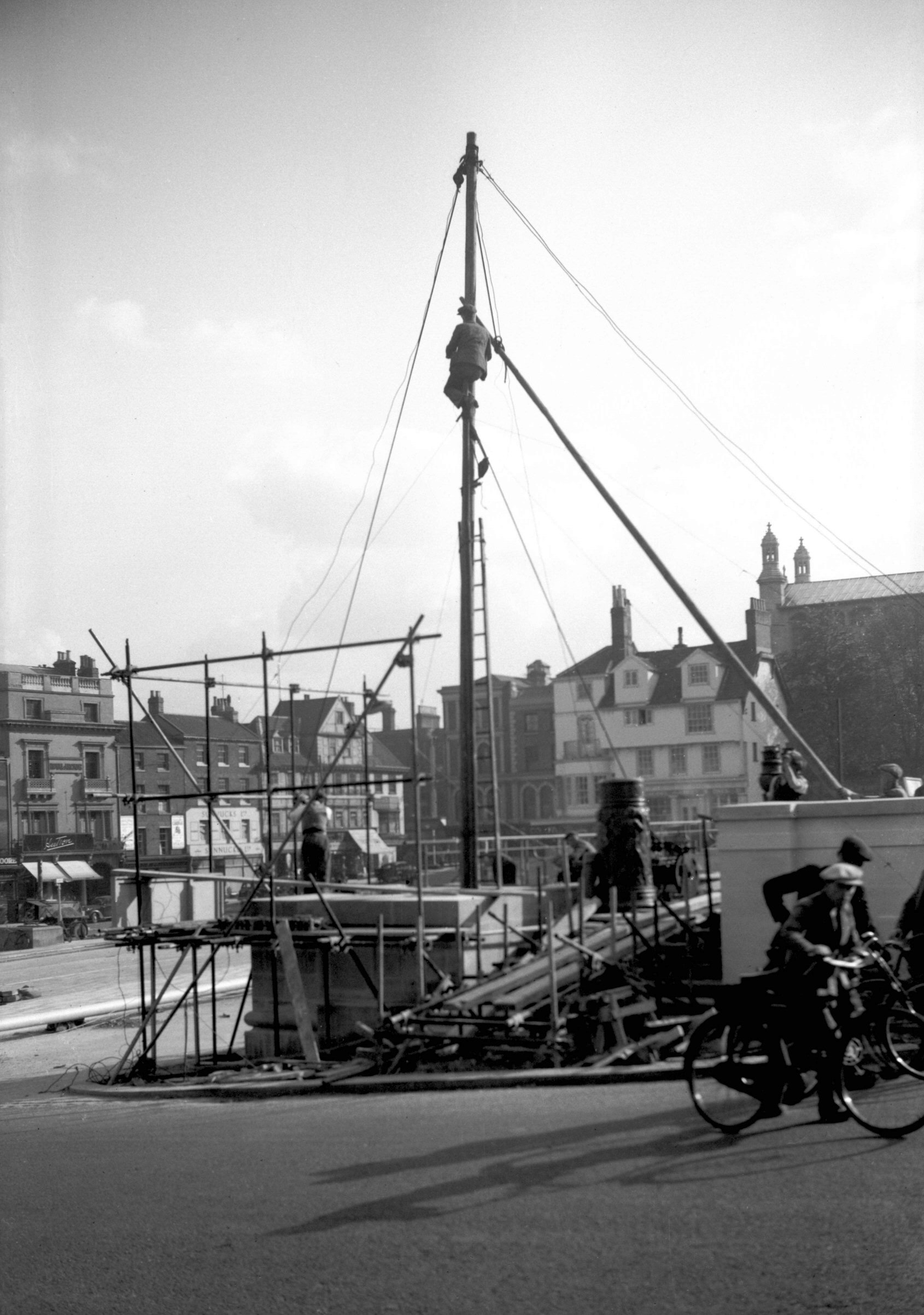
The Market War Memorial flagstaff hoist [2809]
1938-10-06
The hoist used to erect flagstaffs at either end of the
memorial garden. |
|
|
The Market War Memorial flagstaff on ground [2810]
1938-10-06
|
|
|
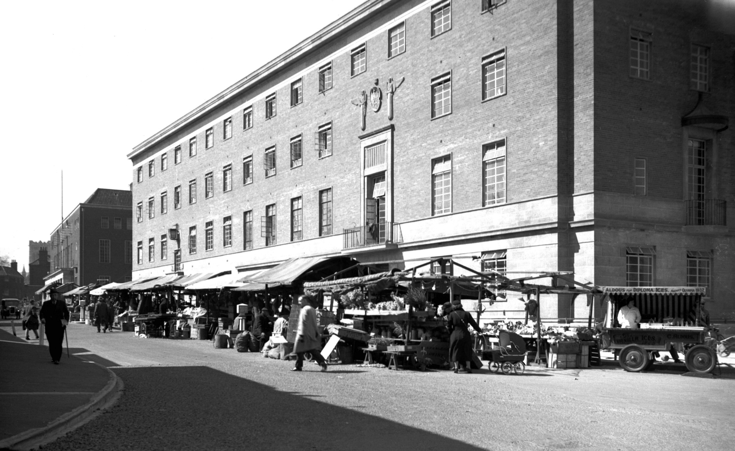
Market Place view north COLOUR [2961] 1939-04-13
|
|
|
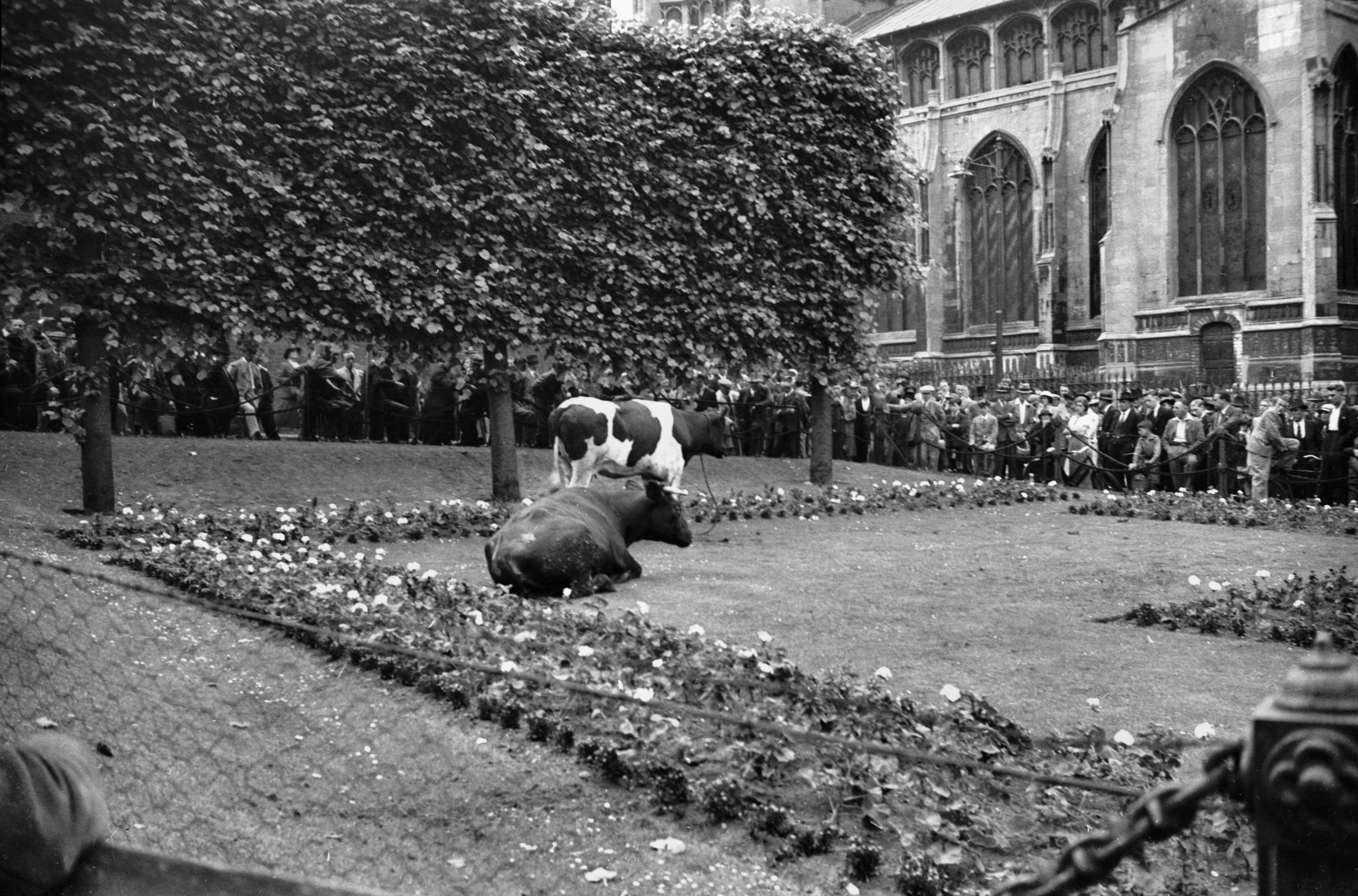
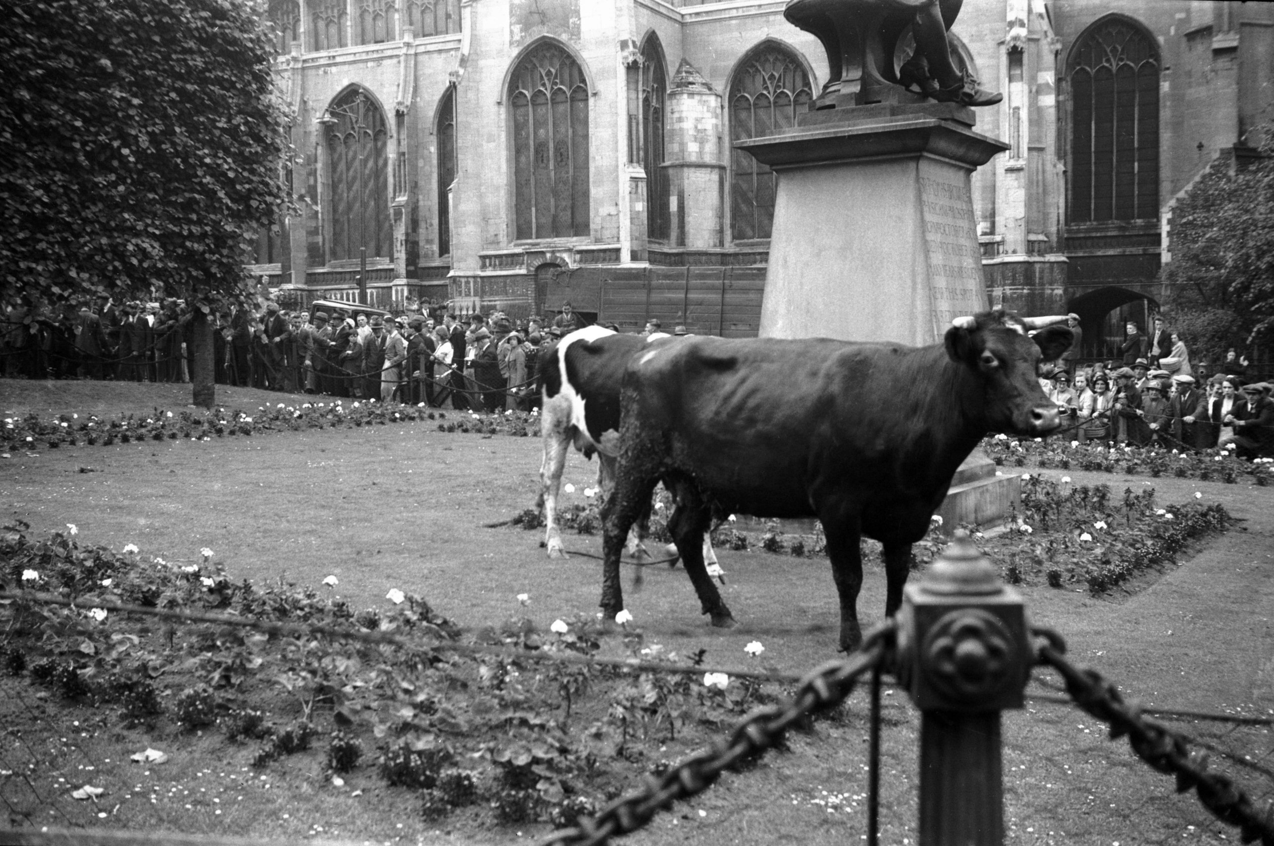
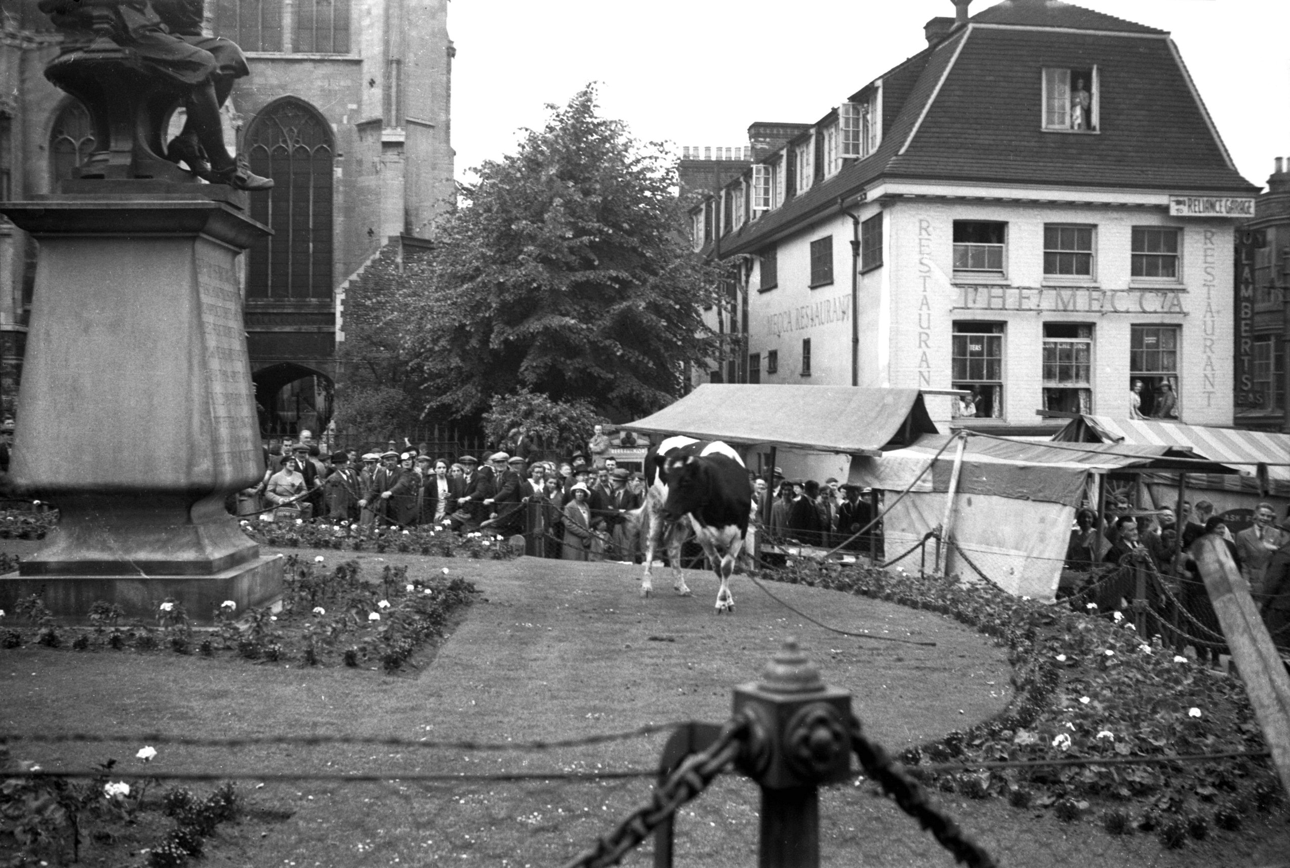
Haymarket escaped cattle 1 [1733] 1937-06-26
|
|
|
Haymarket escaped cattle 2 [1735] 1937-06-26
The Haymarket was described by the historian John
Kirkpatrick "as being the place where the Carts and
Waggons which bring Hay to the City for sale do stand,
expecting buyers". It is now many years since hay
was last sold here, the name now conjuring up, for older
citizens at least, happy memories of the picture house of
that name. First opened in 1911, it was twice enlarged -
in 1921 and 1929. After the war, however, with the advent
of television and other distractions, attendances
dwindled, leading to its closure and finally to its
demolition in 1959.
Perhaps the greatest change here in recent times took
place in 1972 when the garden and lawn surrounding Sir
Thomas Browne's statue were replaced by a paved concourse
with seats and a "water feature". The pleached
lime trees that had formed an effective screen to a 19c
warehouse had earlier been cut down, other trees being
planted instead on the north side flanking St Peter
Mancroft churchyard.
One vivid memory is recalled by this photograph. On 26th
June 1937, some cattle on their way from the old cattle
market stampeded from Orford Hill. Their headlong career
ended within the protective chains of the garden, but a
further hour elapsed before they could be persuaded to
enter the float that had been brought round for them to
resume their journey. |
|
|
Haymarket escaped cattle 3 [1734] 1937-06-26
|
|
|
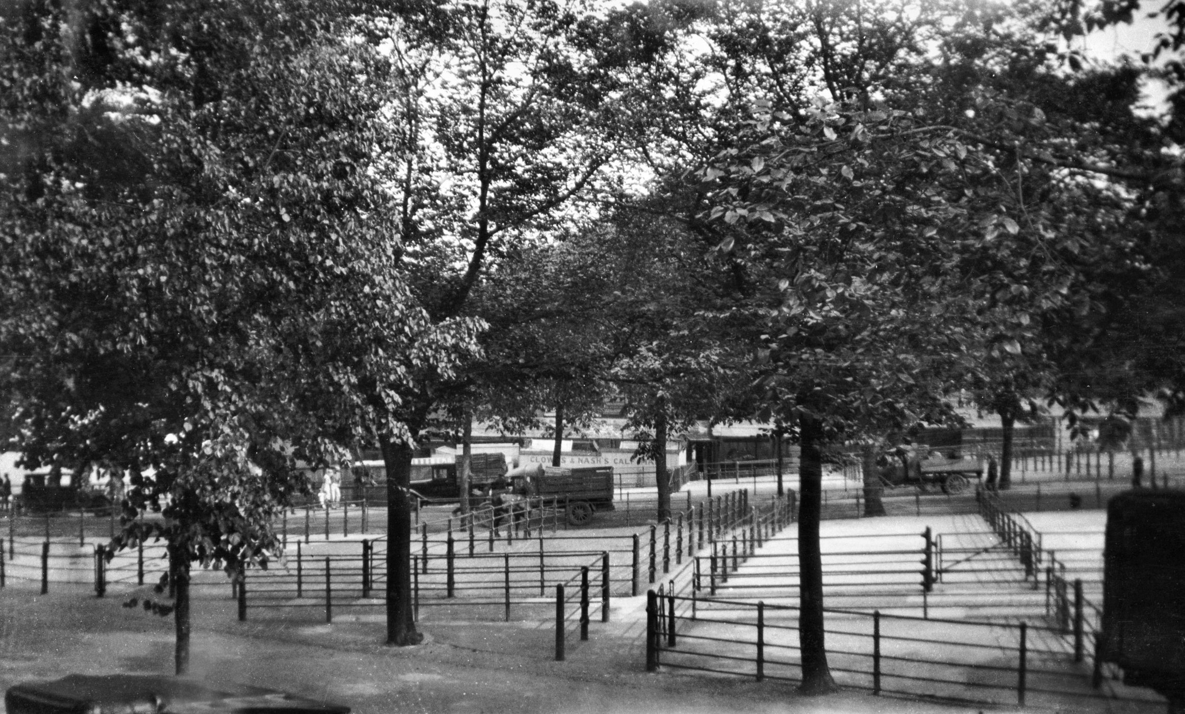
Cattle Market from Castle Hill Bell Avenue
[B066] 1931-00-00
Held on the site of the Castle Ditches since the time of
James II (and possibly for a much longer period) the
removal of the Cattle Market to another site had been
considered by the City Council since just before the
outbreak of the Second World War. |
|
|
Cattle Market from Castle Hill Bell Avenue [B161]
1931-00-00
|
|
|
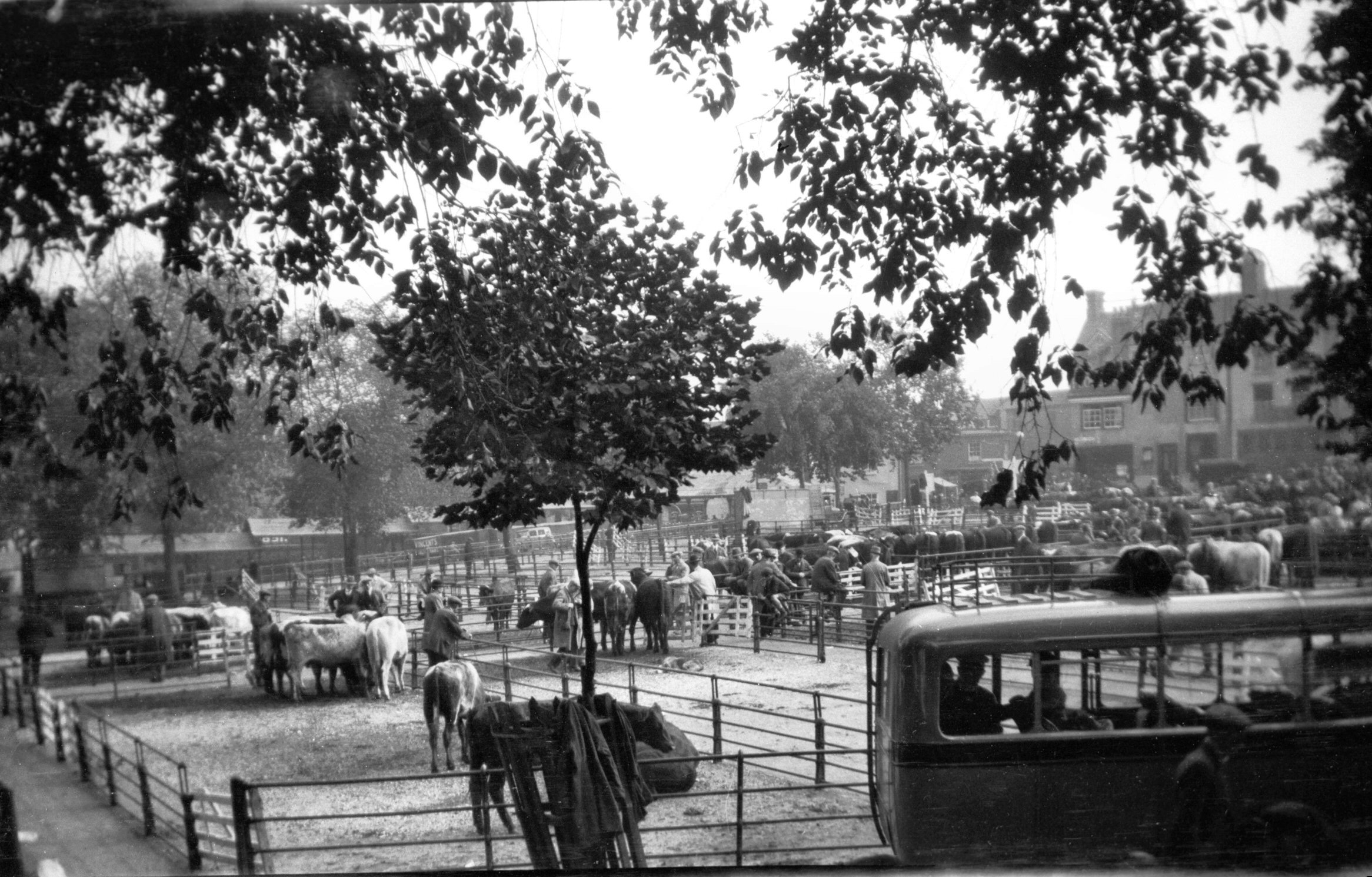
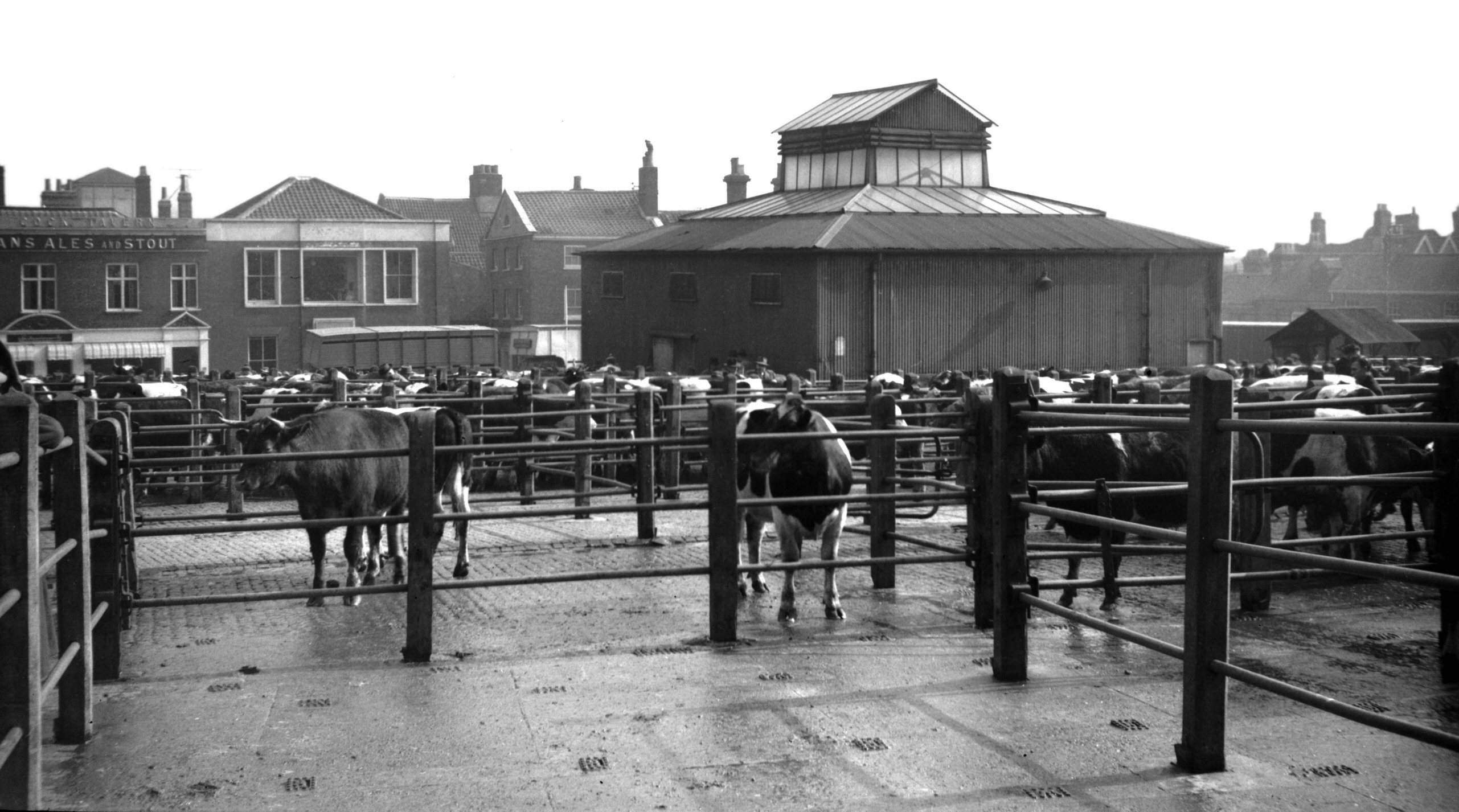
Cattle Market view east from Market Avenue [4540]
1960-03-12
These three views were taken a few months before the
opening of the new cattle market at Harford on the
southern boundary of the city. |
|
|
Cattle Market view NE from Market Avenue [4541]
1960-03-12
|
|
|
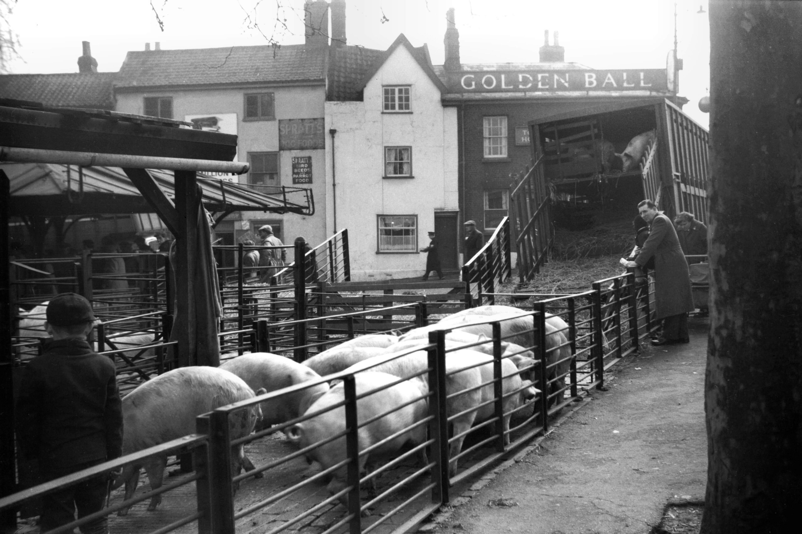
Cattle Market pig compound [4542] 1960-03-12
At junction of Market Avenue and Cattle Market St. |
|
|
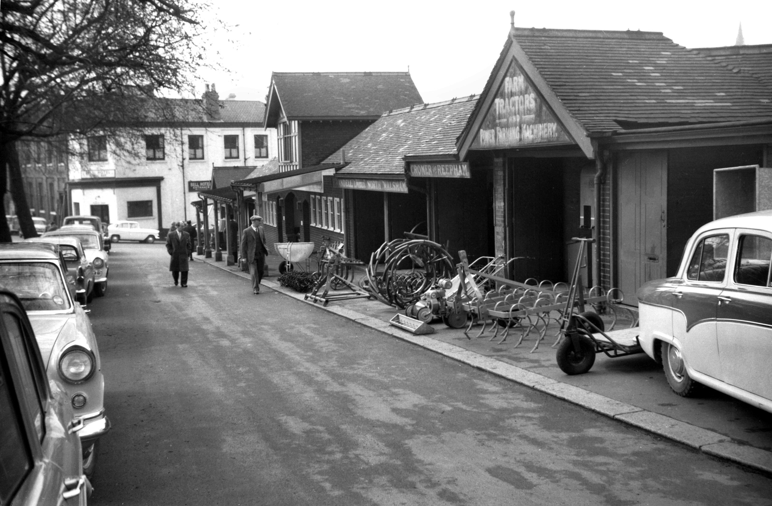
Cattle Market farm machinery Castle Hill [4543]
1960-03-12
Farm machinery showrooms. |
|
|
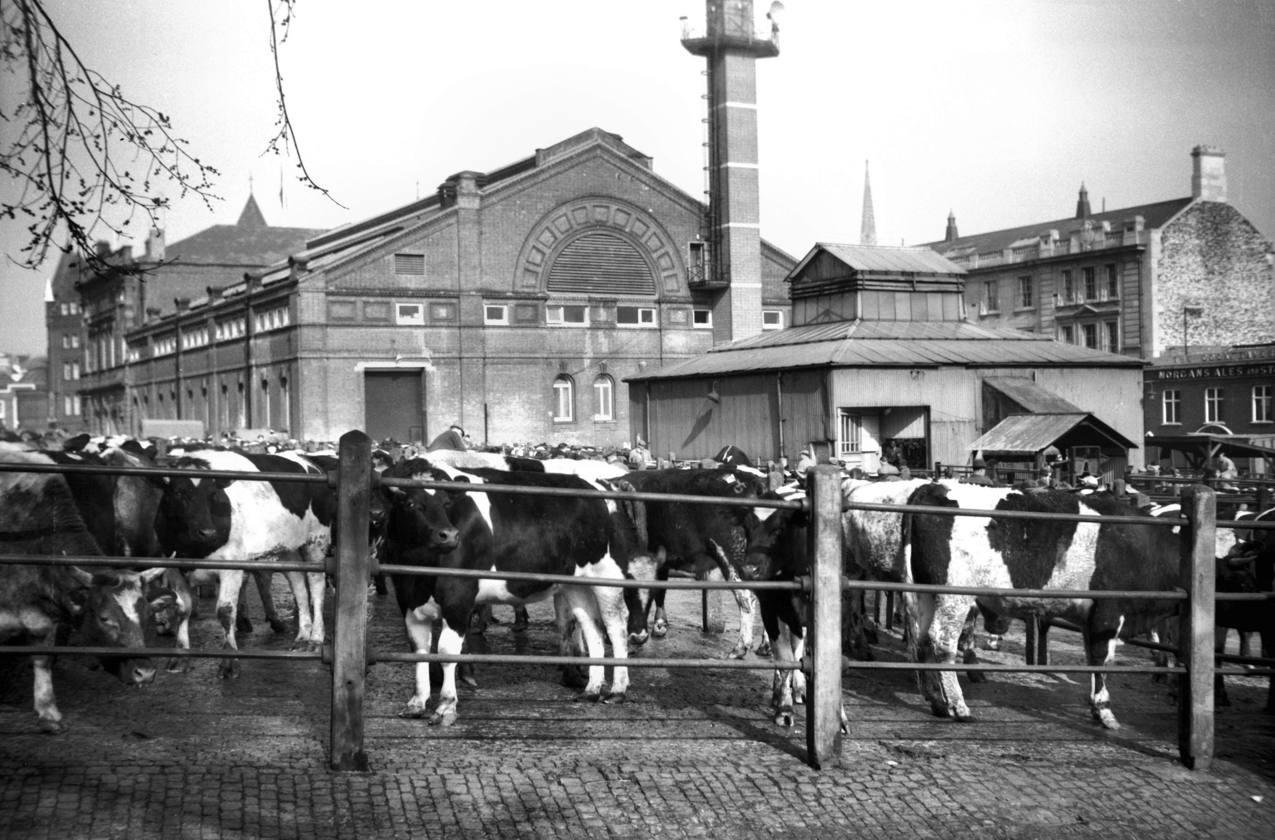
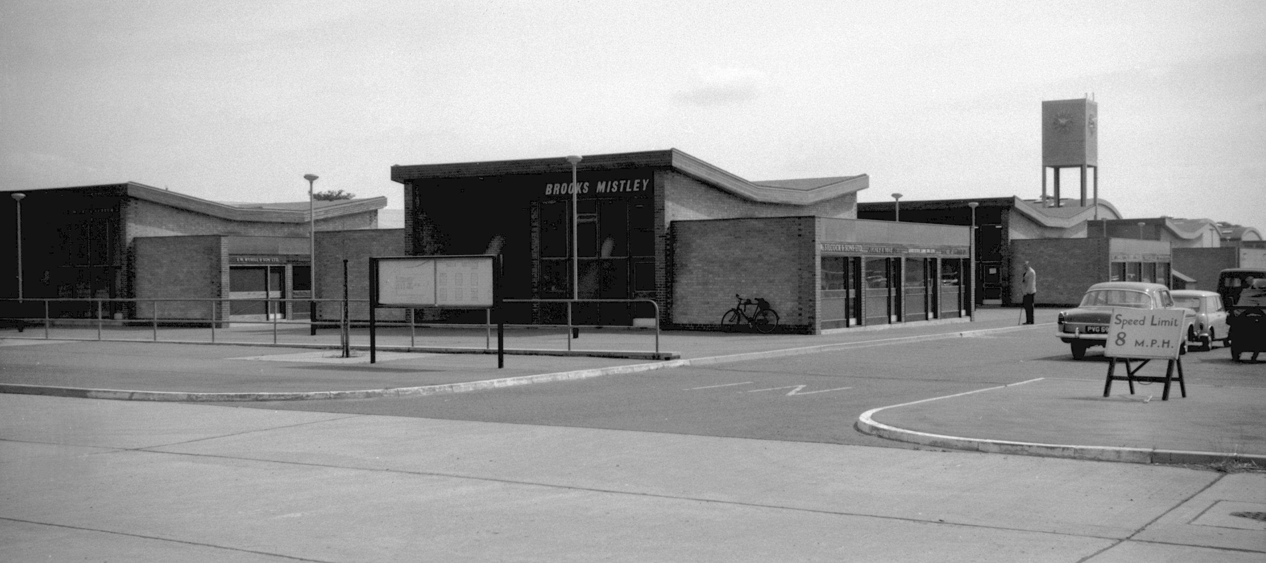
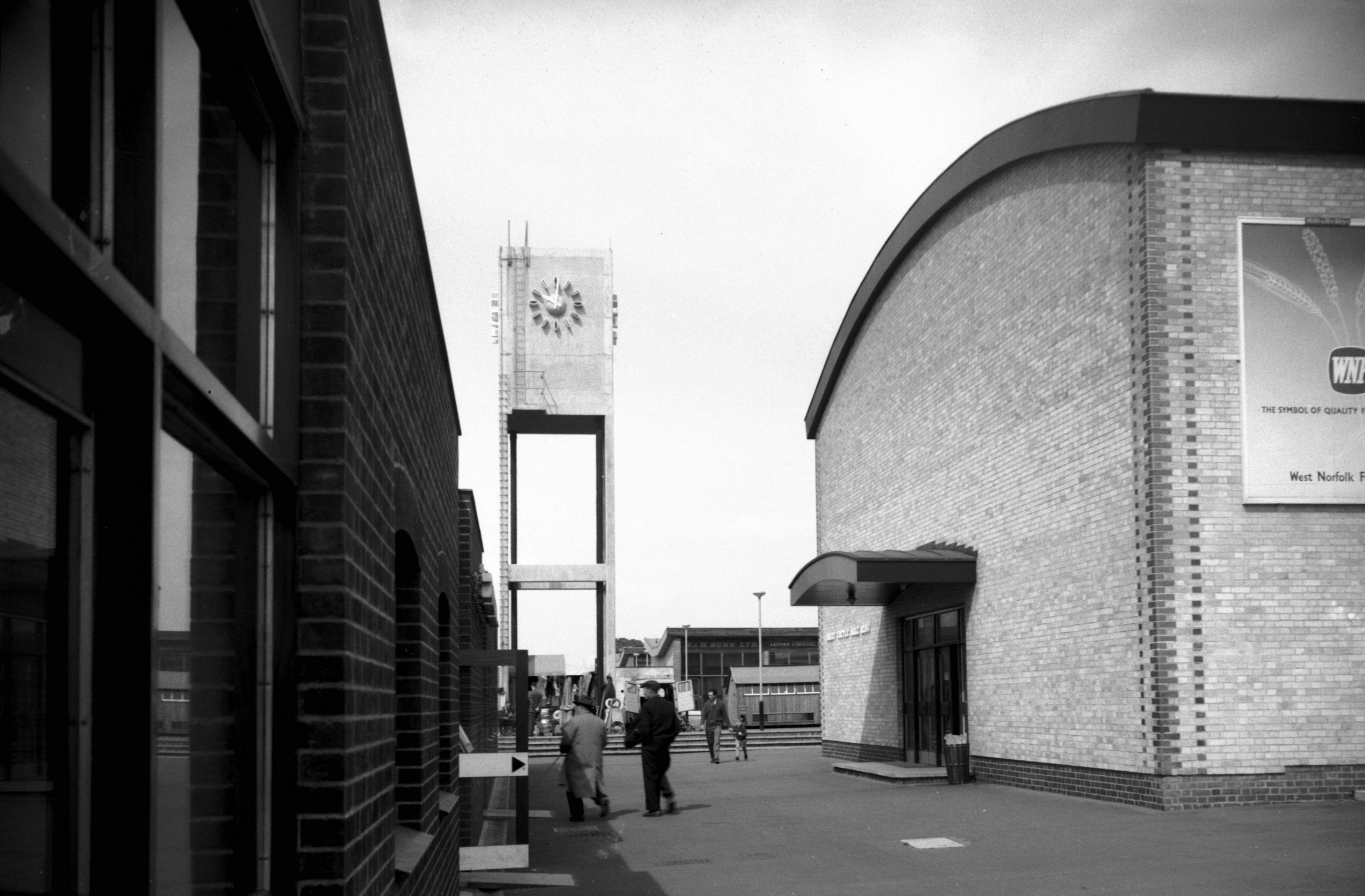
New Cattle Market view from entrance [4682]
1962-06-23
Opened at Harford, 1st July 1960. |
|
|
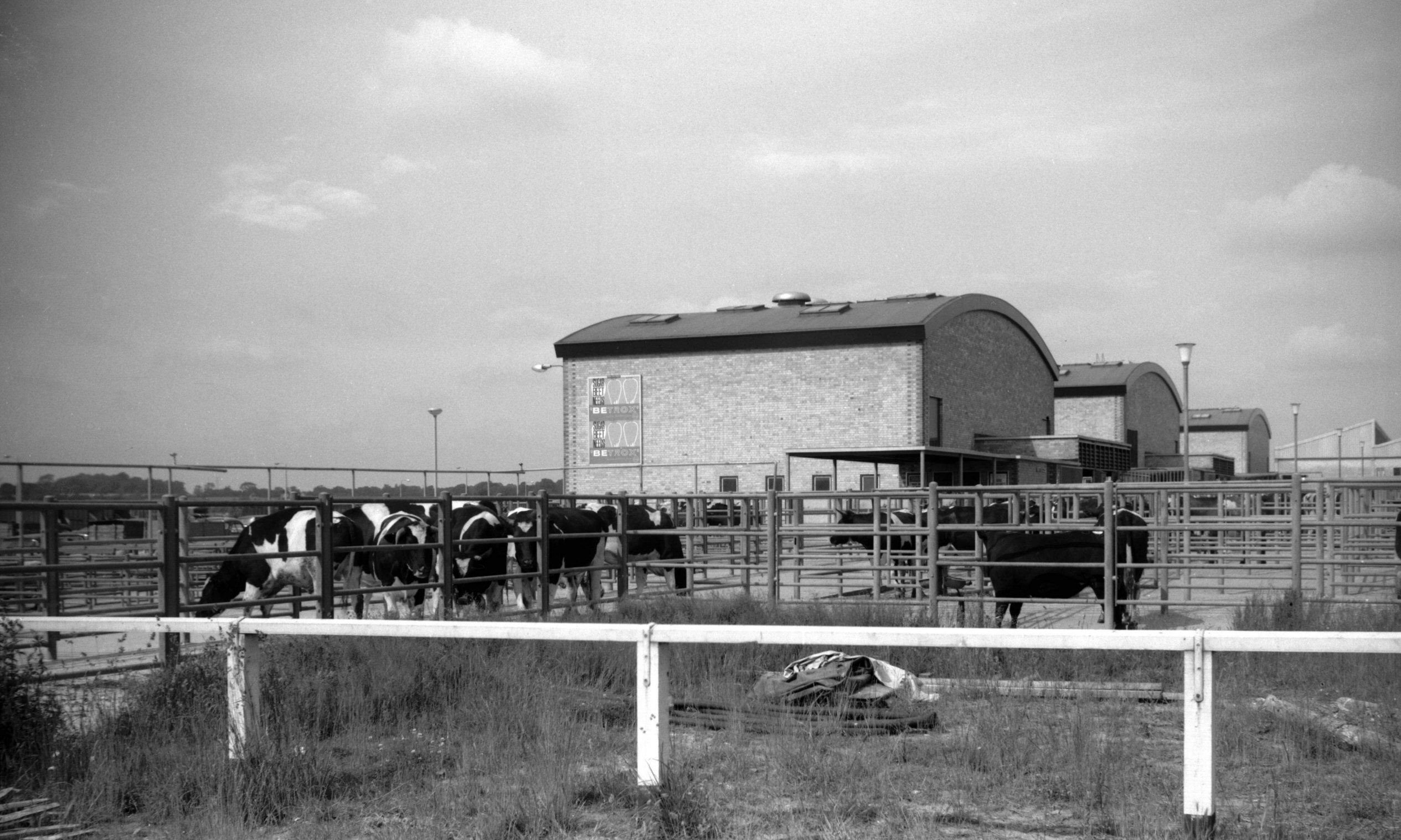
New Cattle Market clock tower and sale ring [4681]
1962-06-23
Dairy cattle sale ring. |
|
|
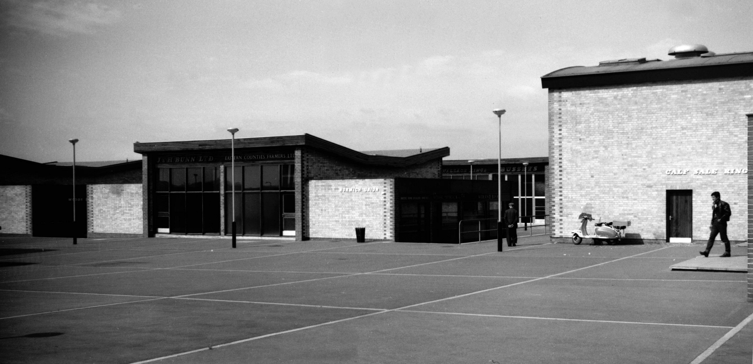
New Cattle Market shops and offices [4680] 1962-06-23
|
|
|
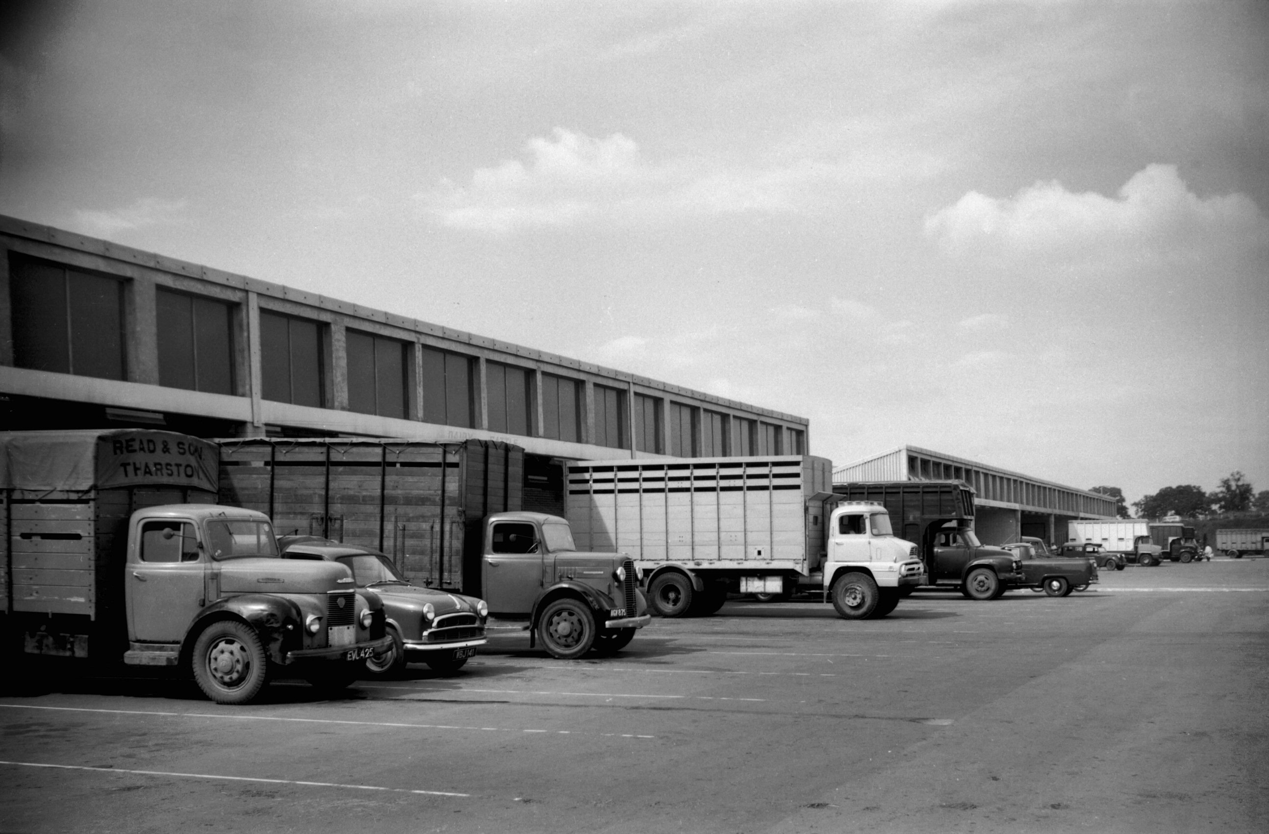
New Cattle Market trucks at unloading bays [4679]
1962-06-23
|
|
|
New Cattle Market cattle pens [4678] 1962-06-23
Store and fat cattle sale rings, behind the cattle pens. |
|
|
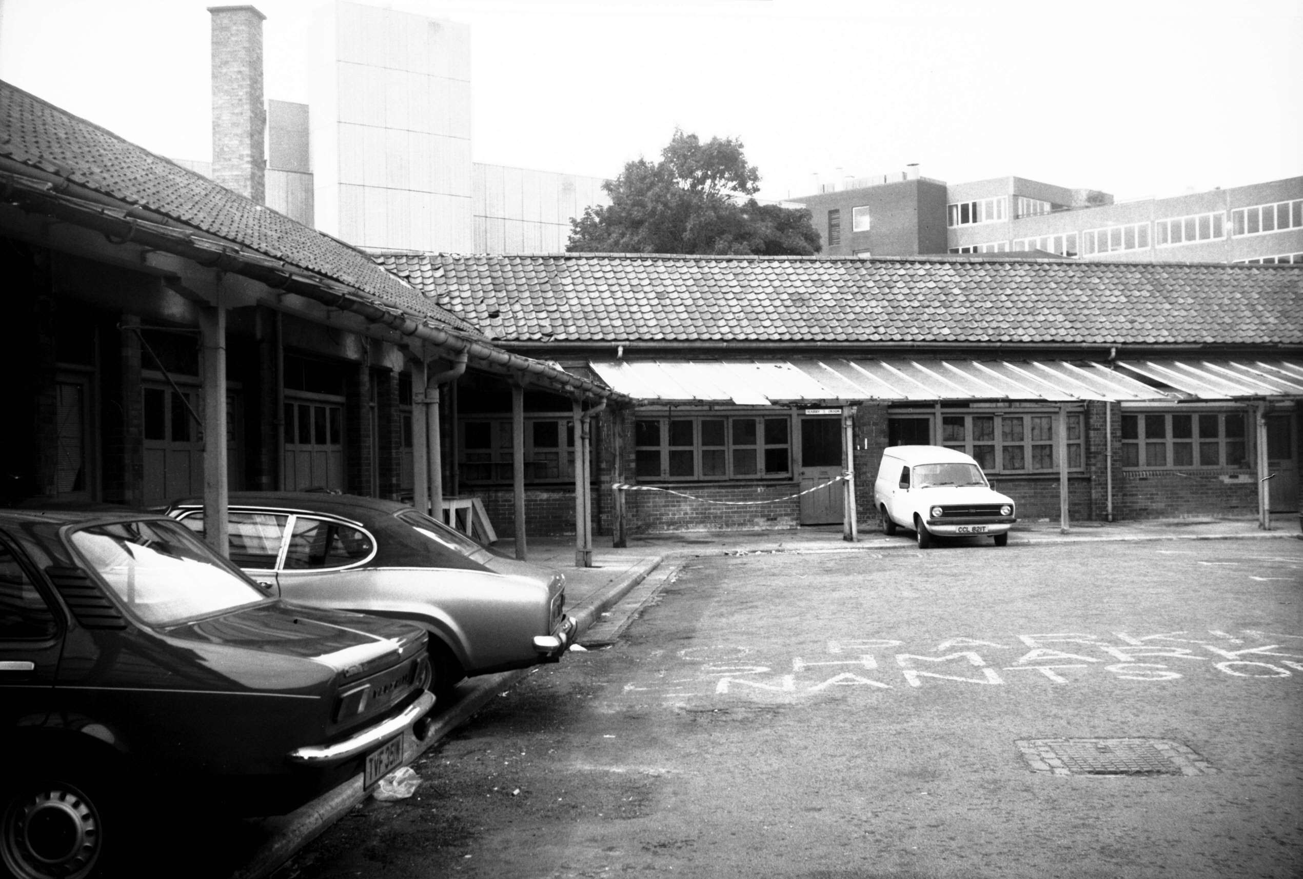
Fish Market Mountergate general view [6231]
1981-08-22
Wholesale Fish Market. Moved here in 1914 from St Peter's
St. |
|
|
Fish Market Mountergate SW corner [6225] 1981-08-13
|