| |
|
|
|
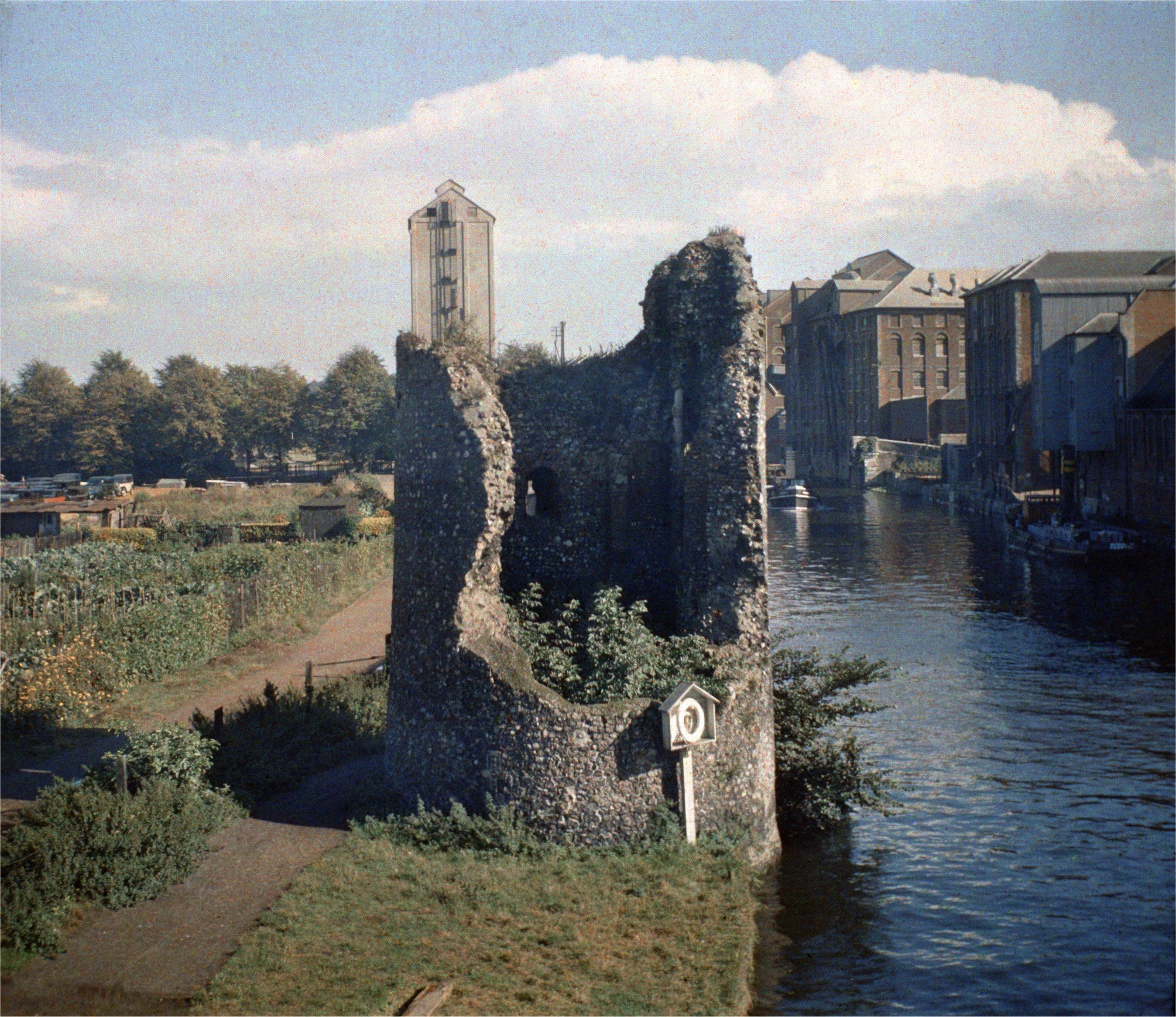
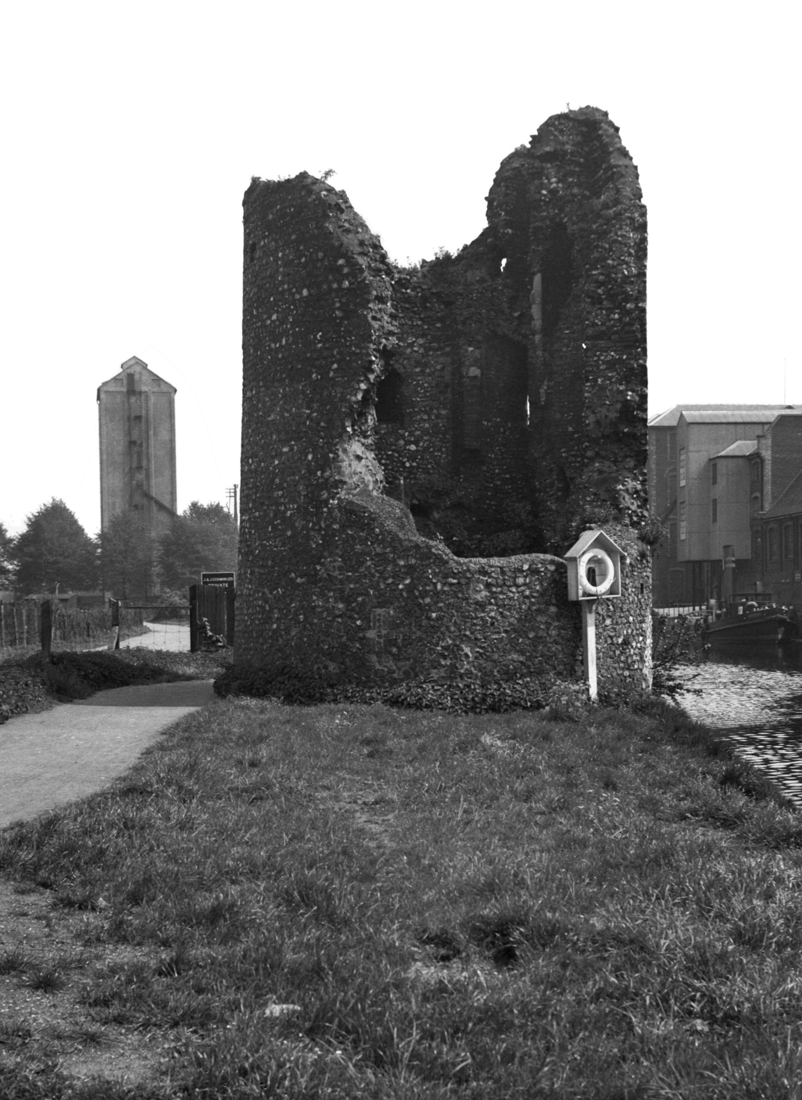
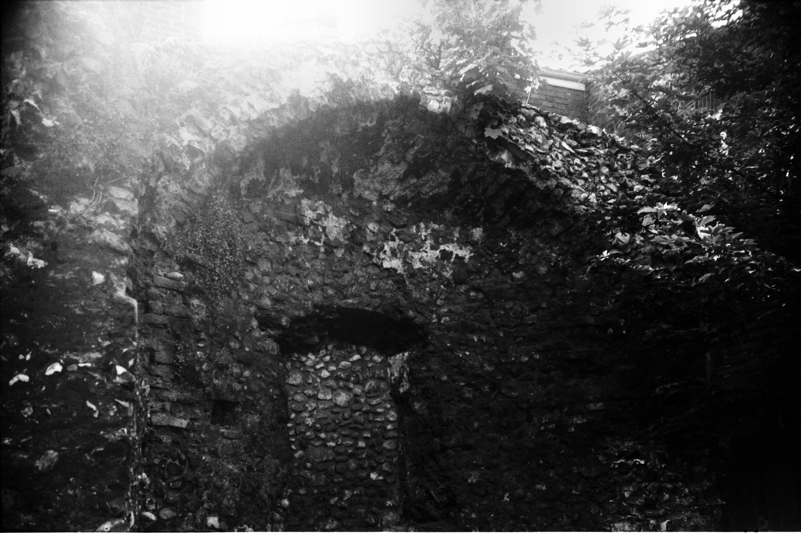
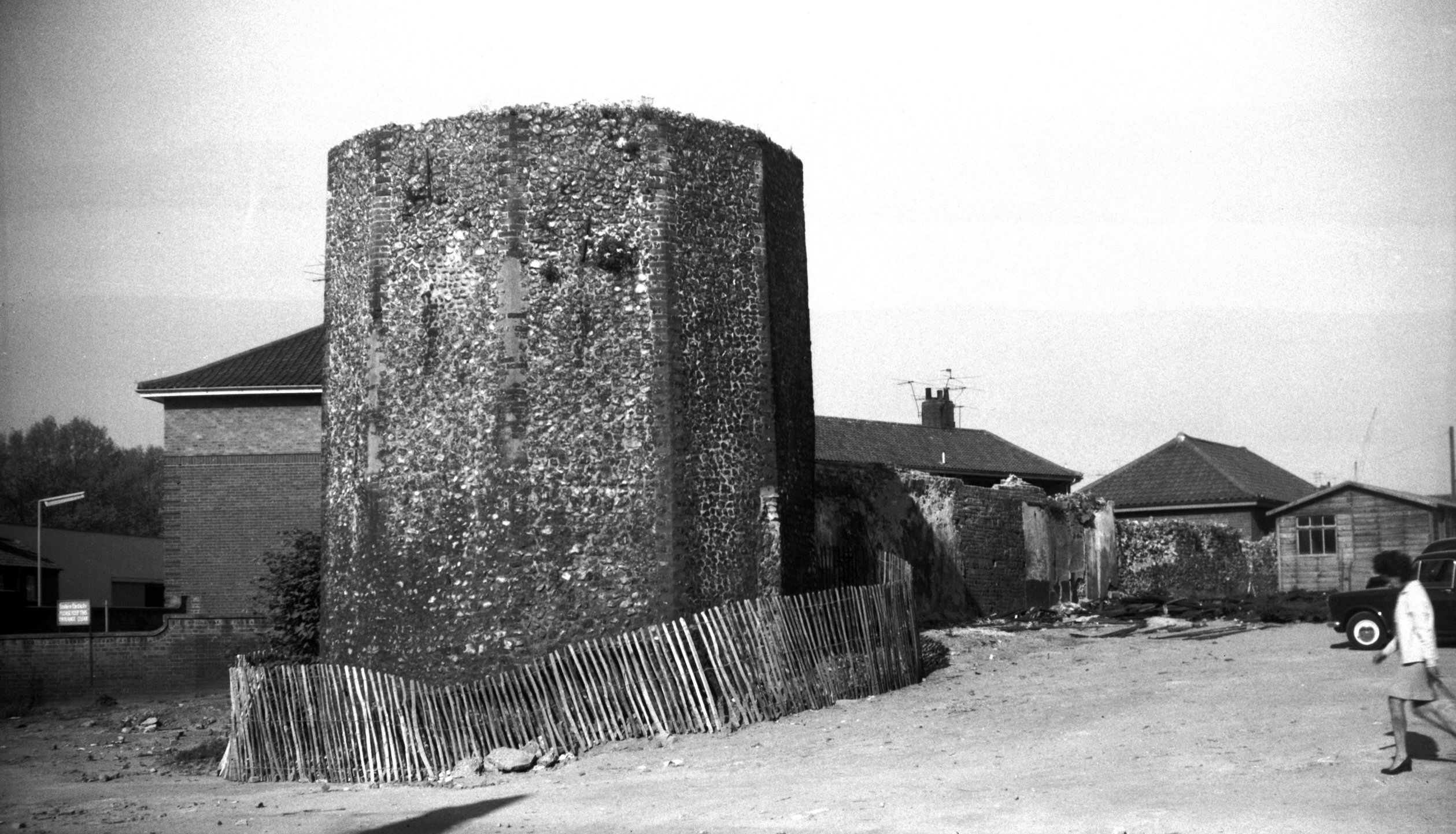
City Walls Eastern boom tower COLOUR [0758]
1935-09-14
|
|
|
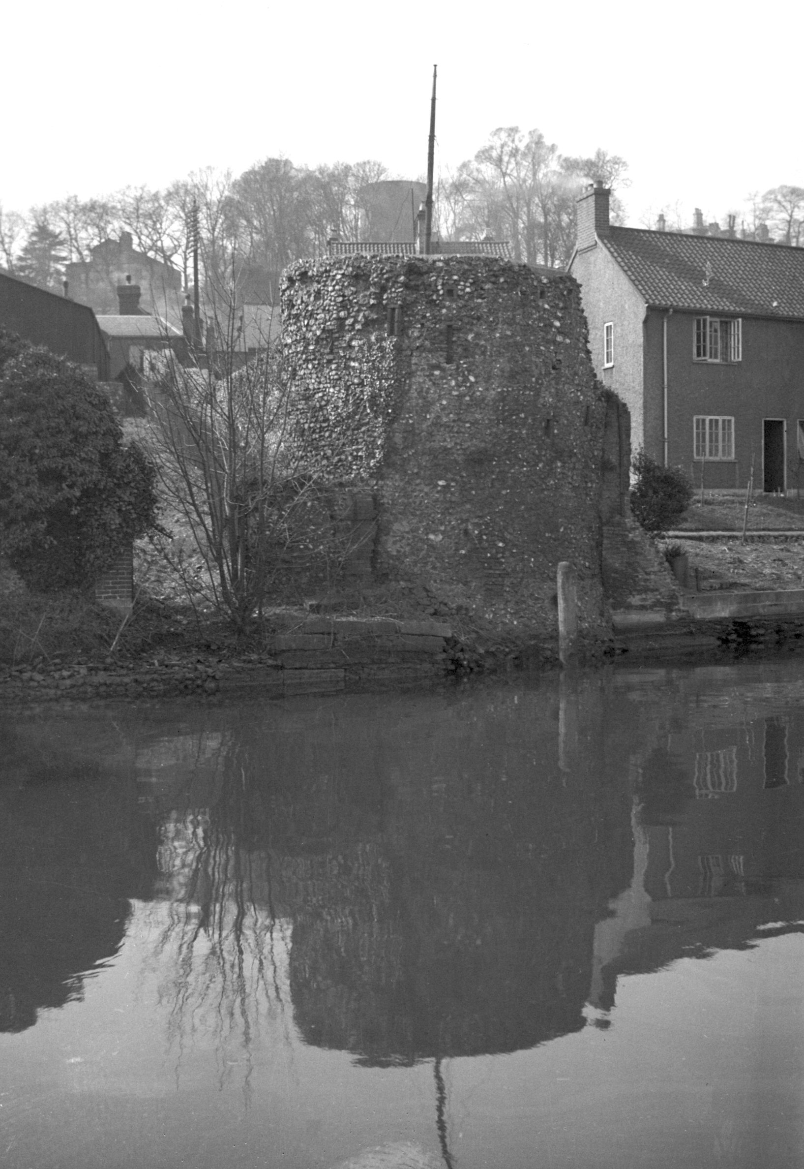
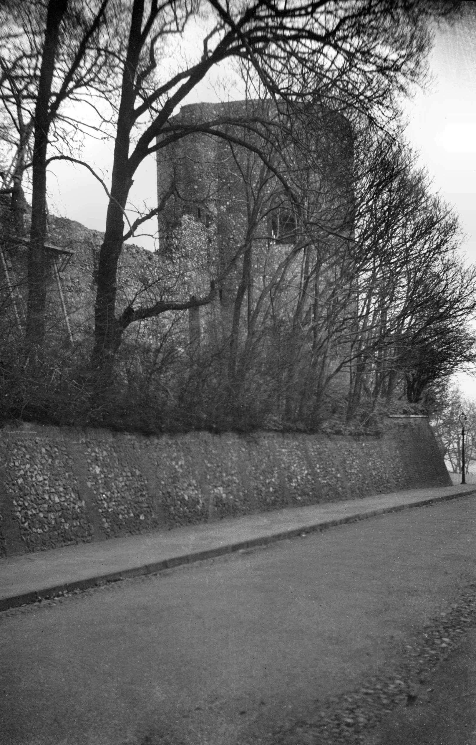
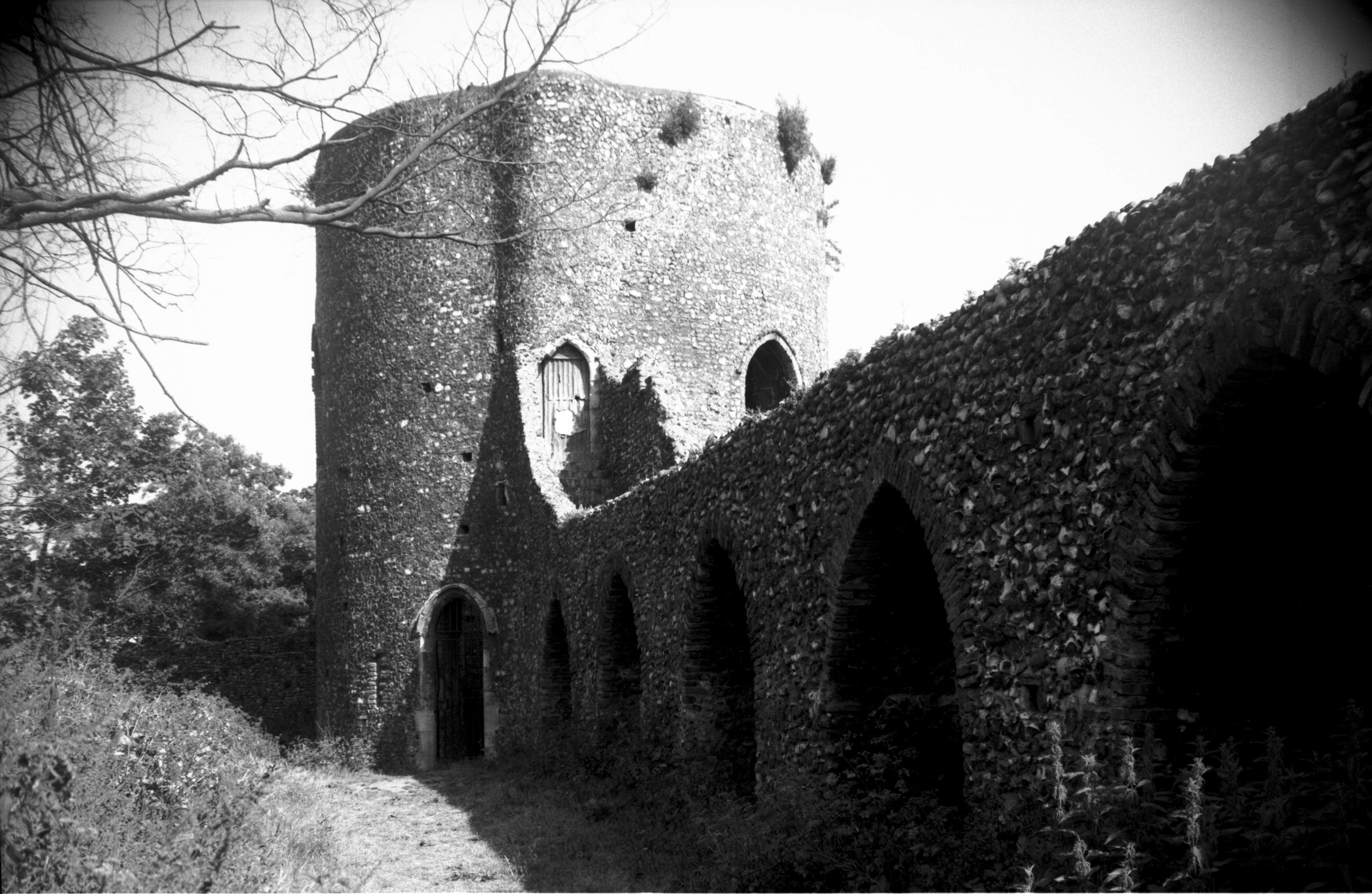
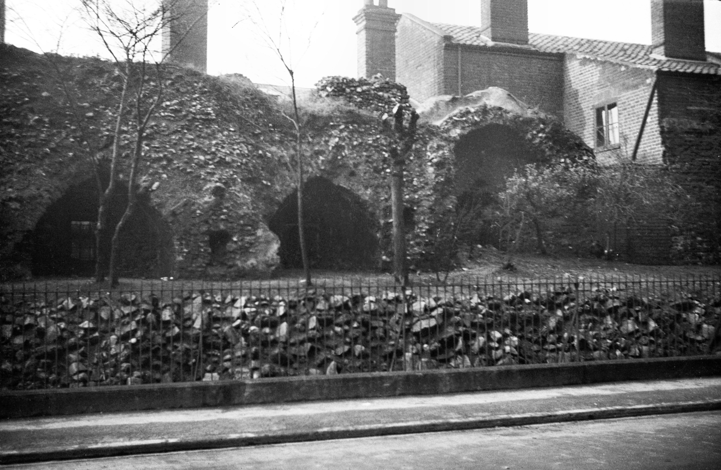
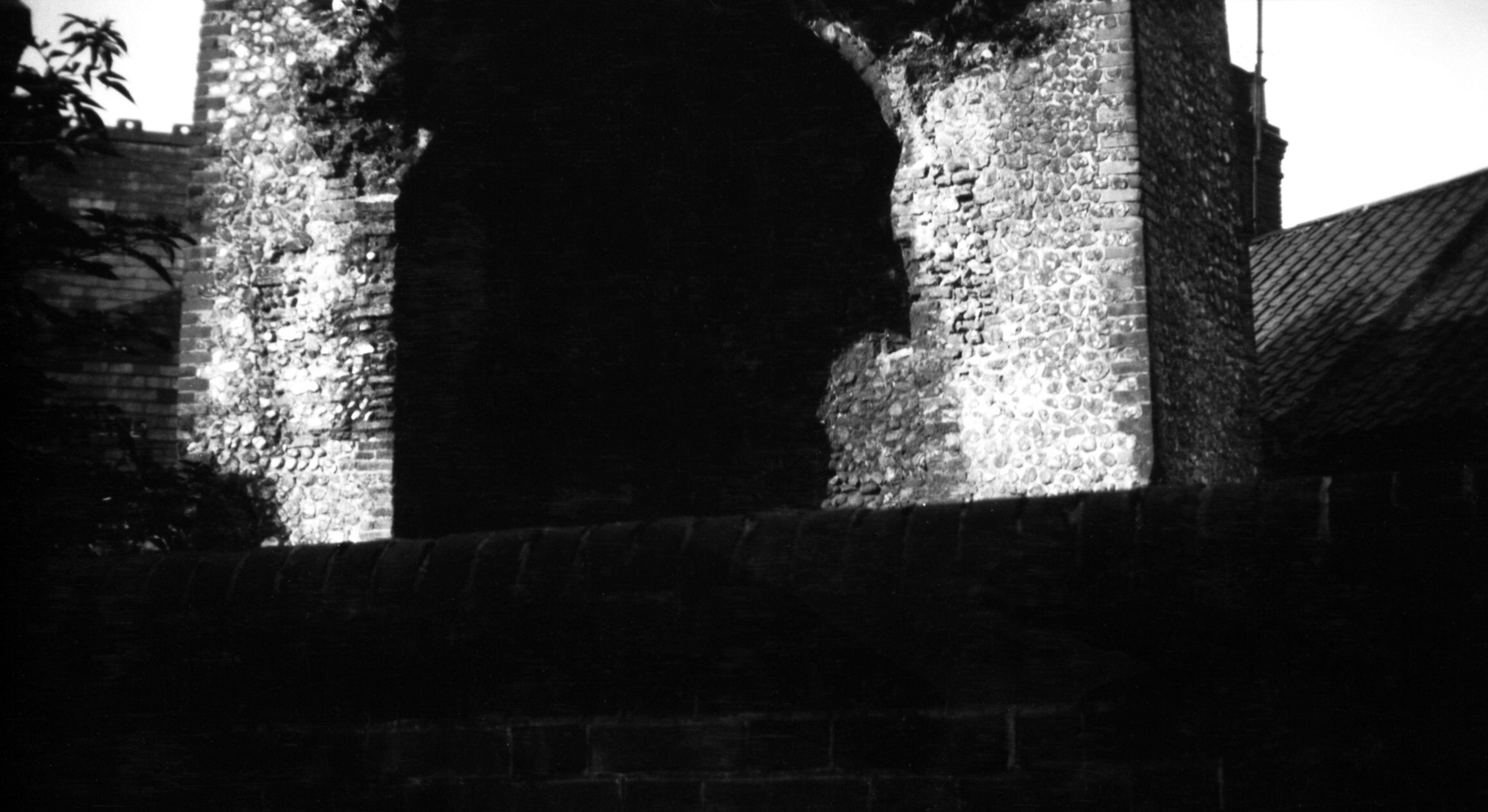
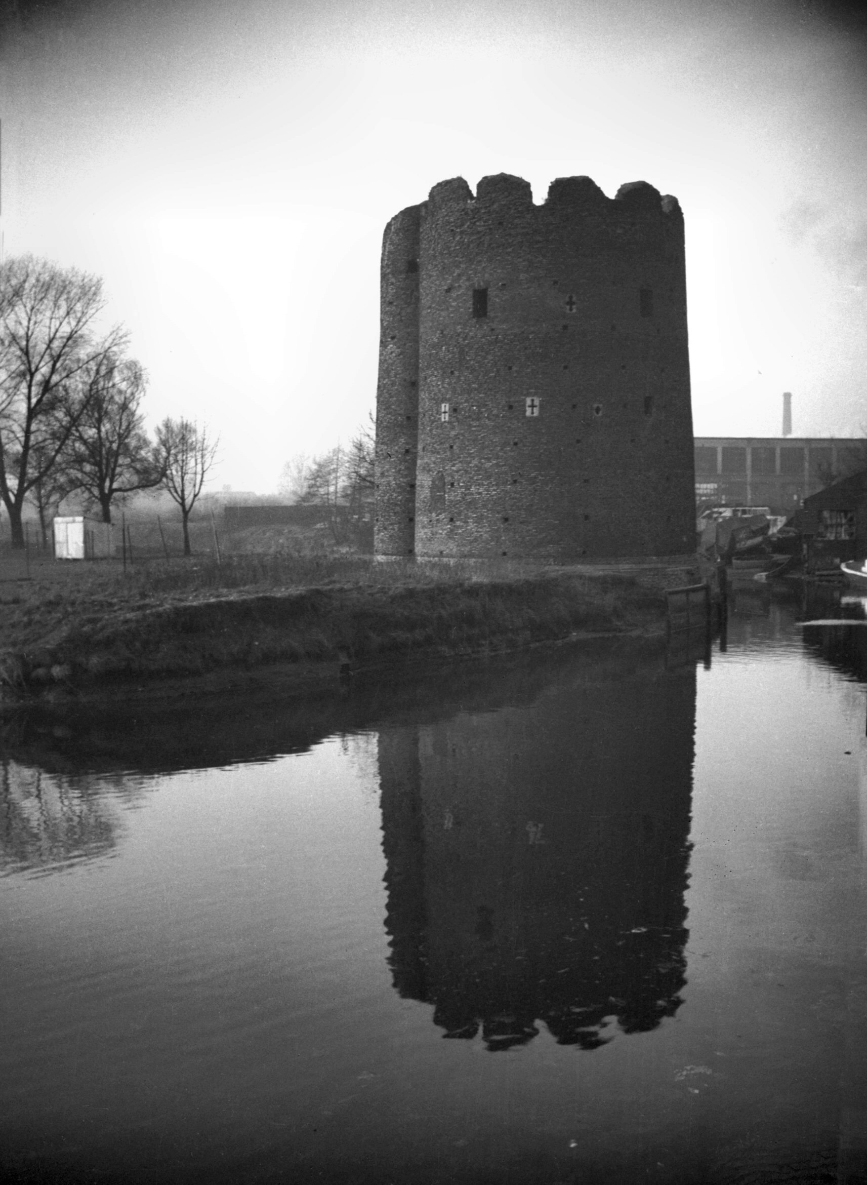
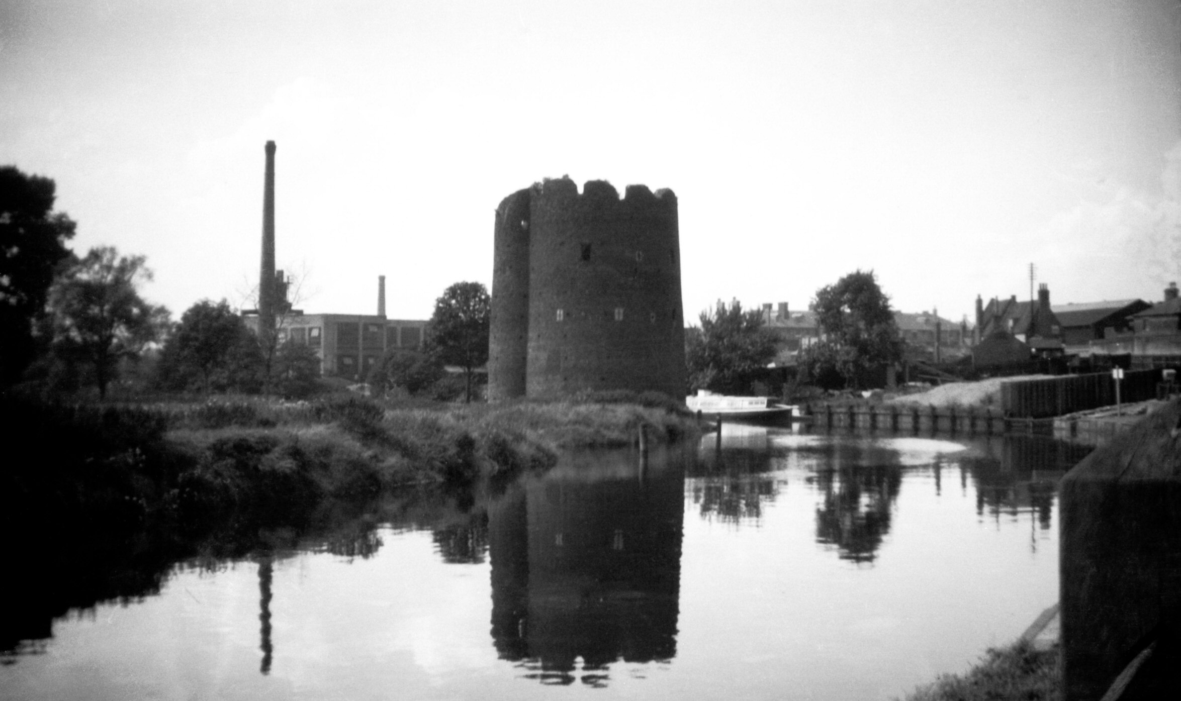
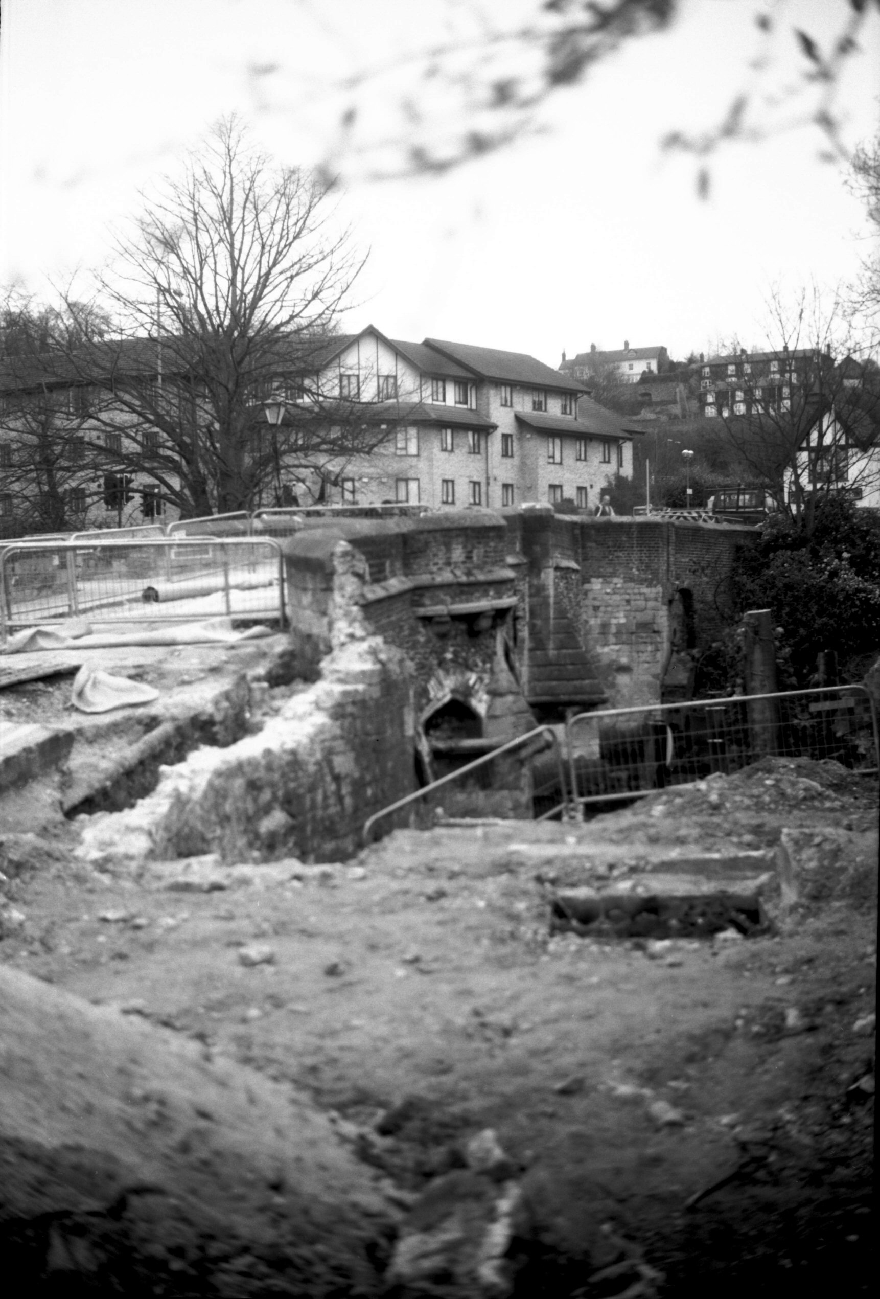
Eastern boom tower from below Carrow Bridge [0095]
1934-05-17
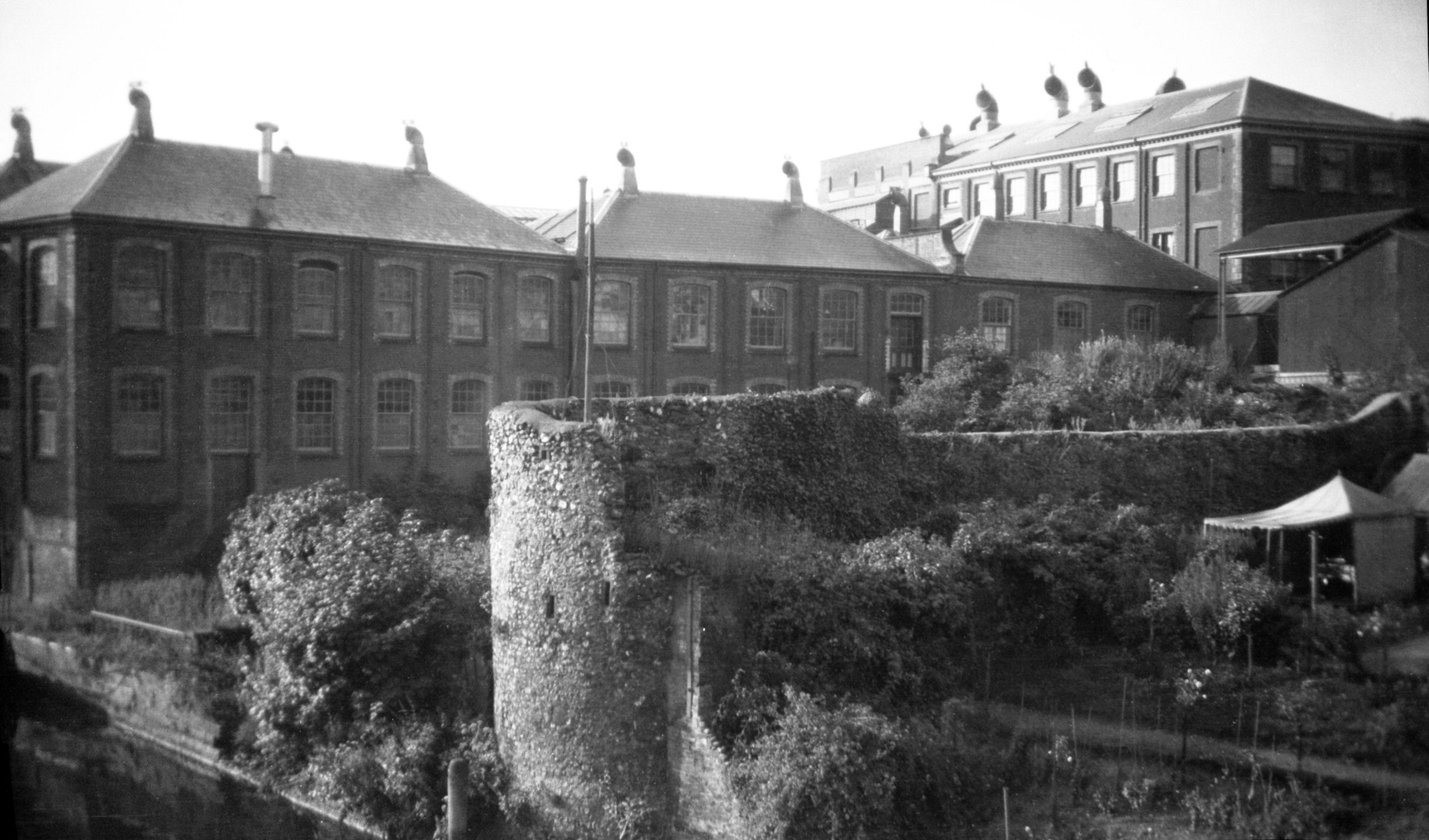
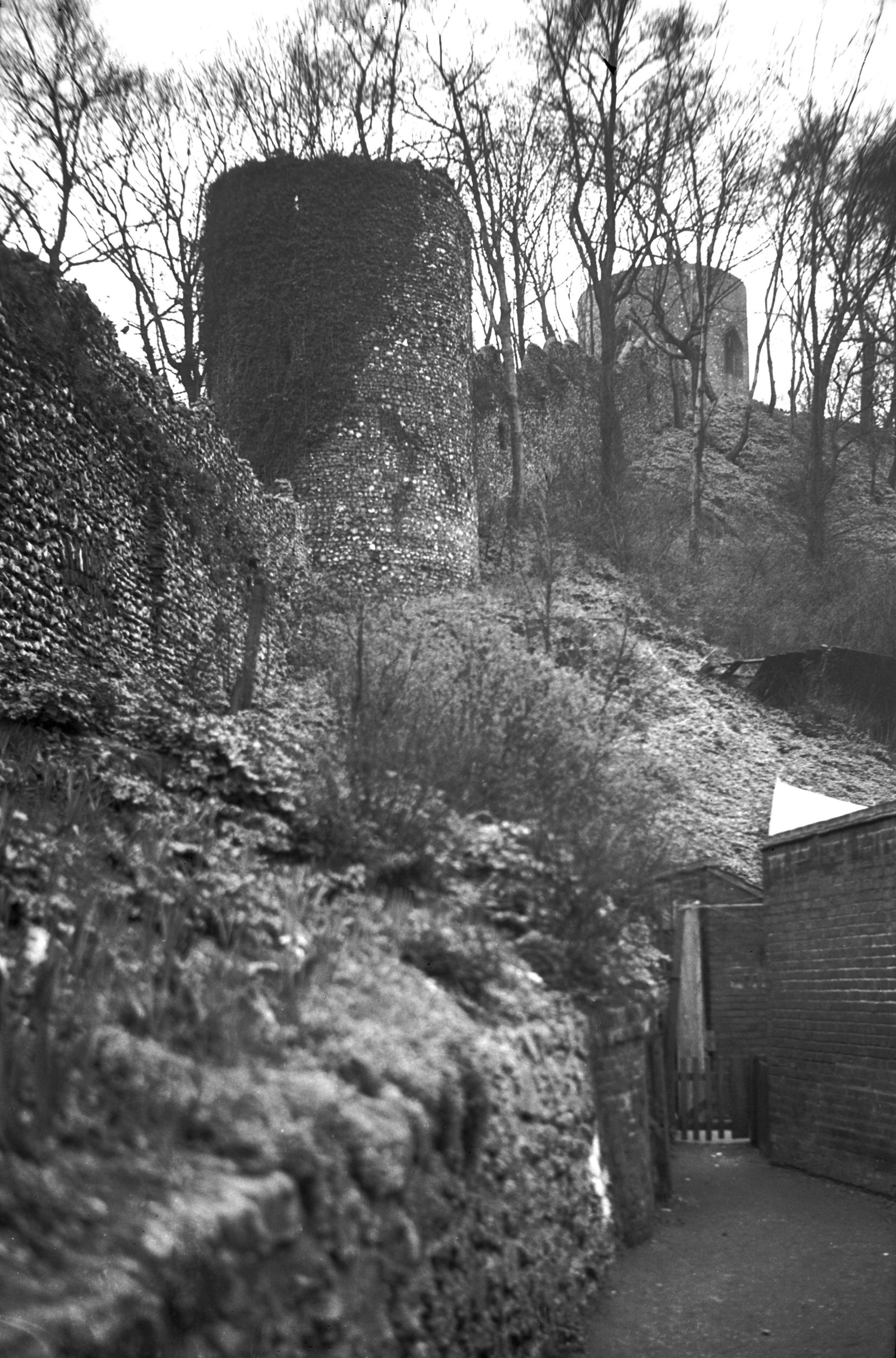
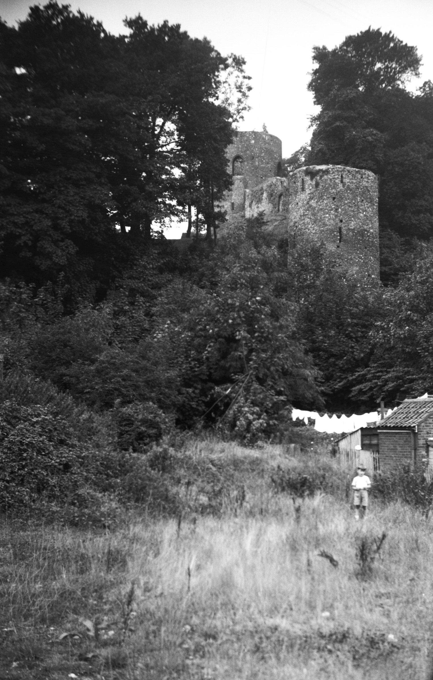
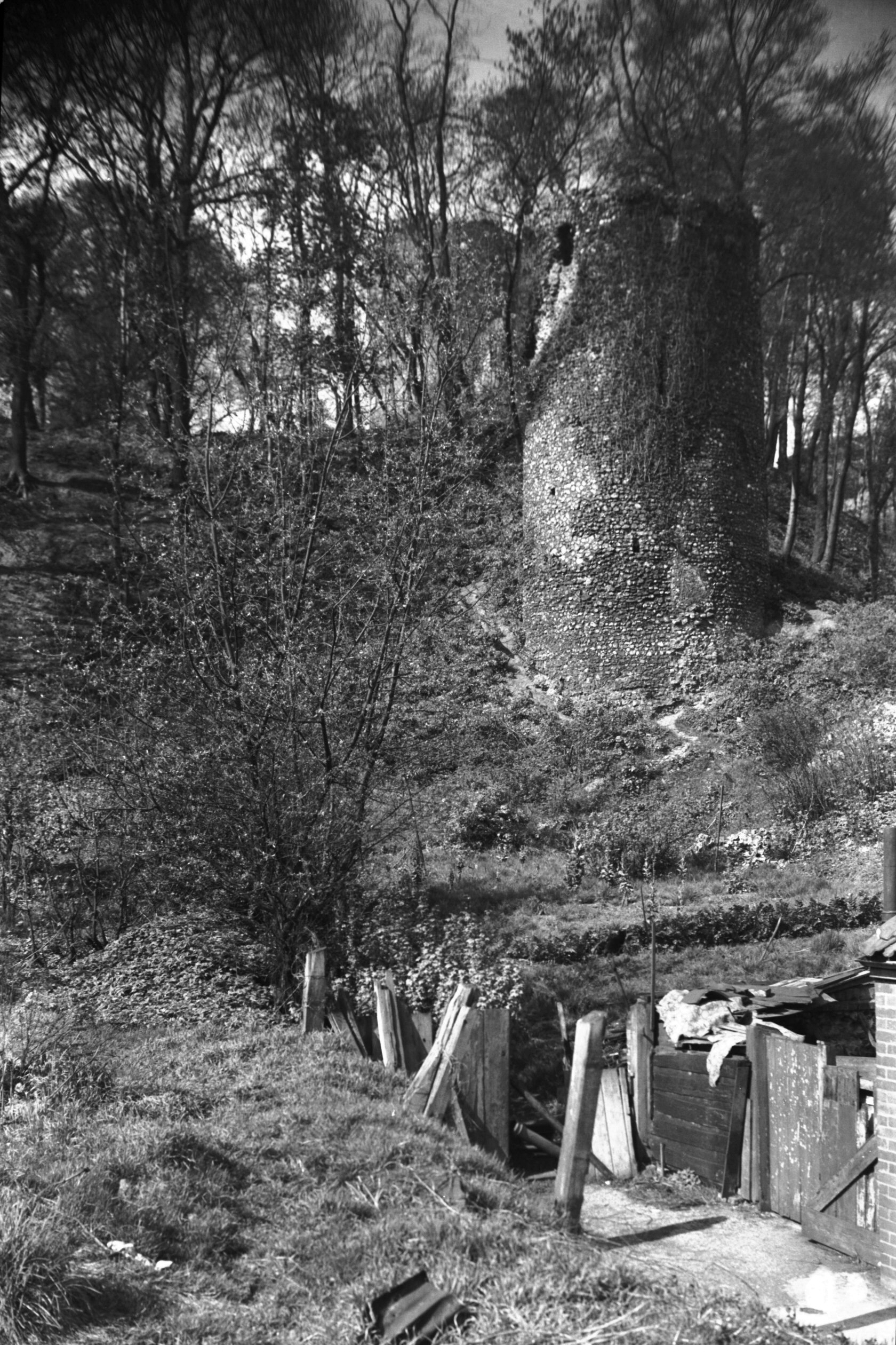
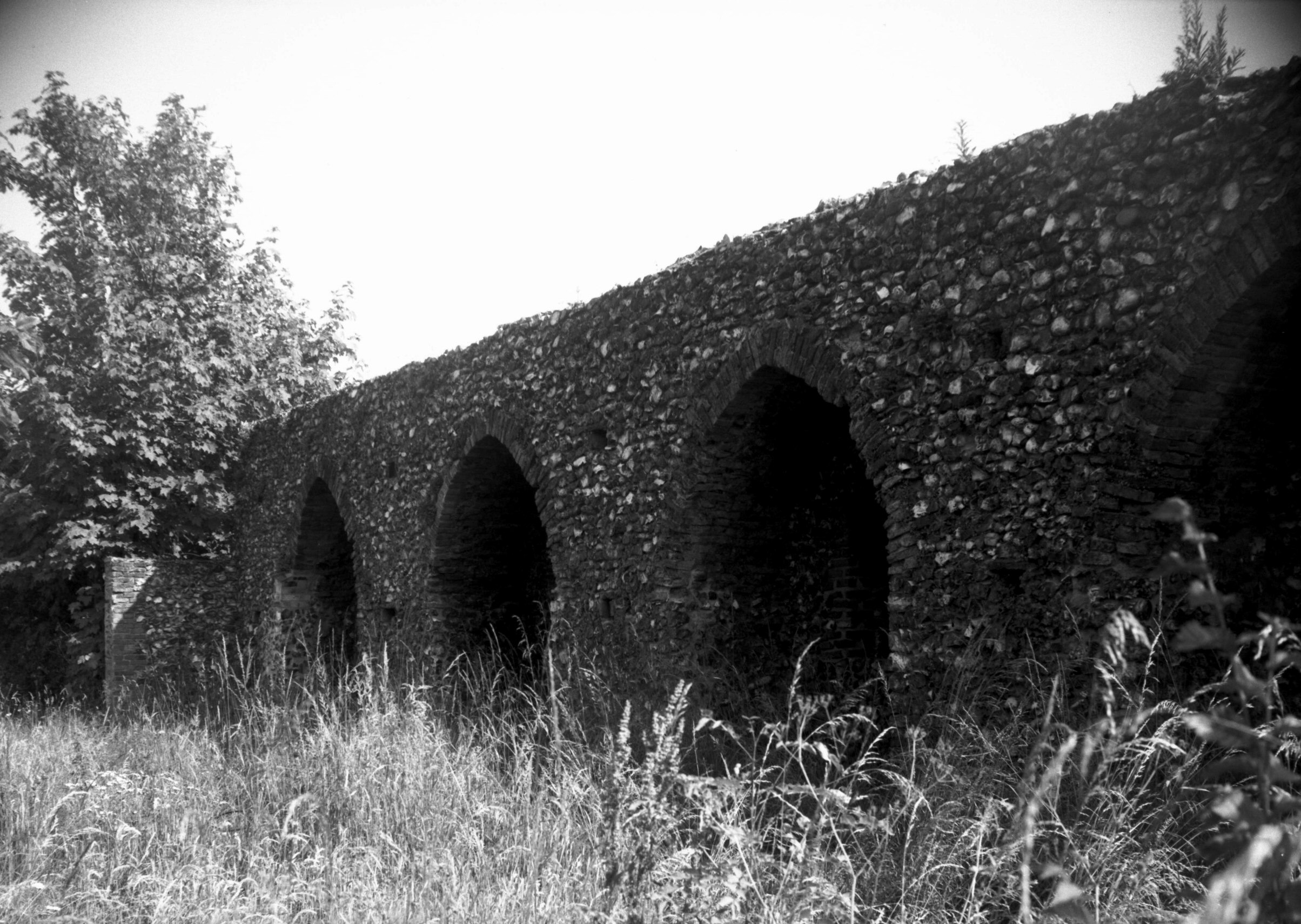
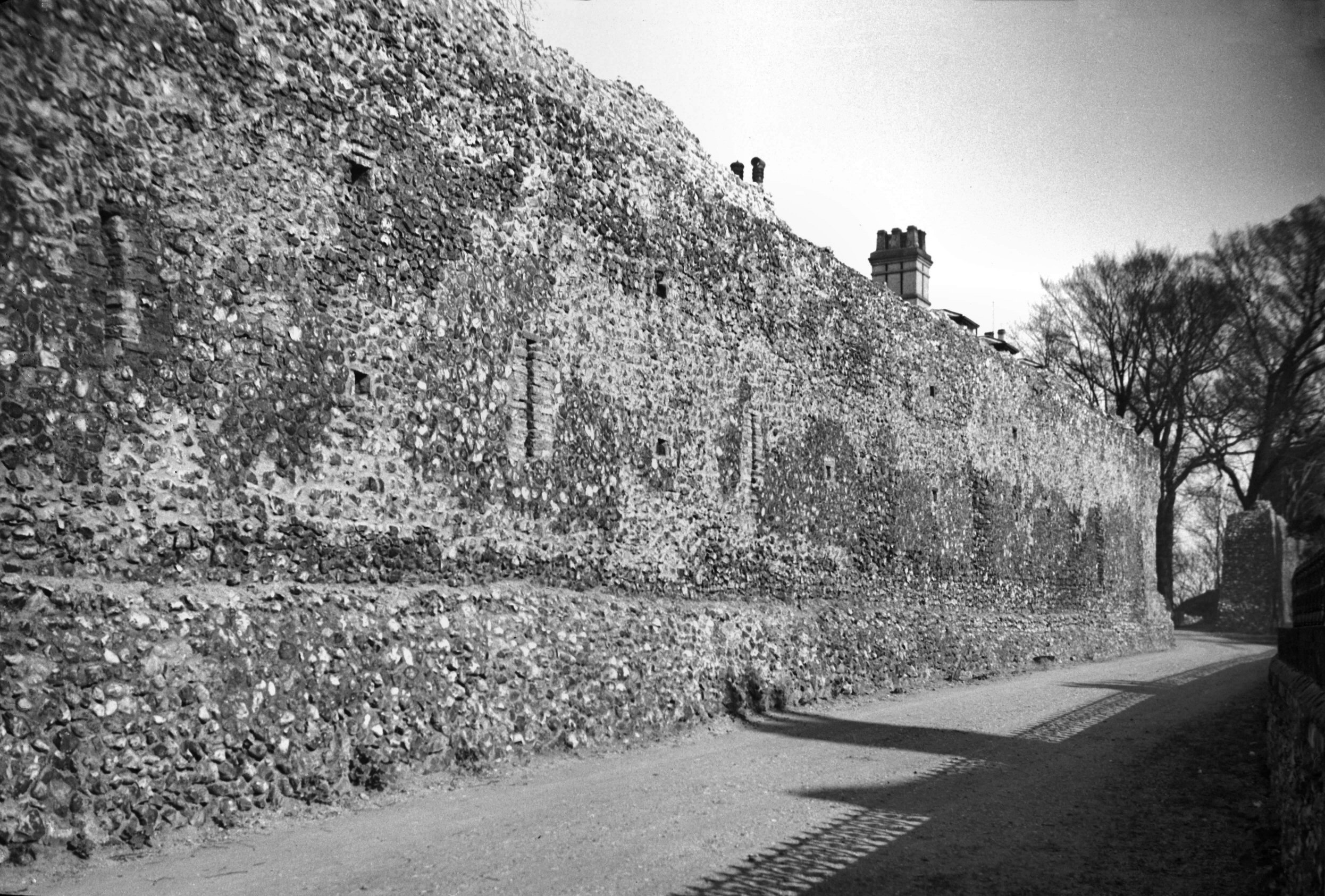
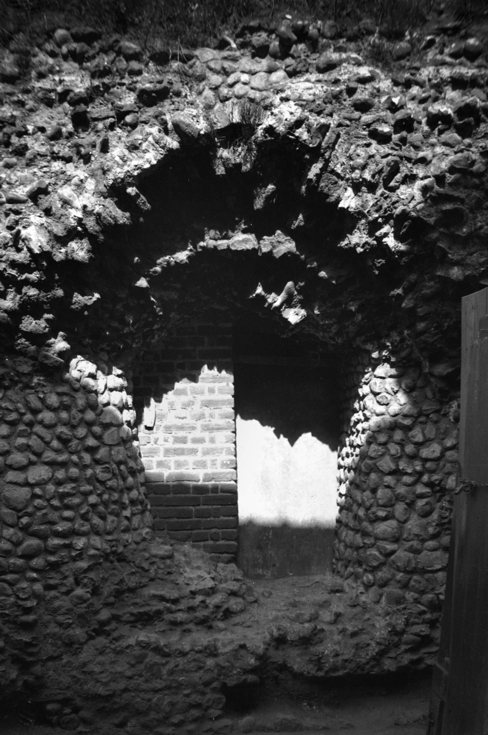
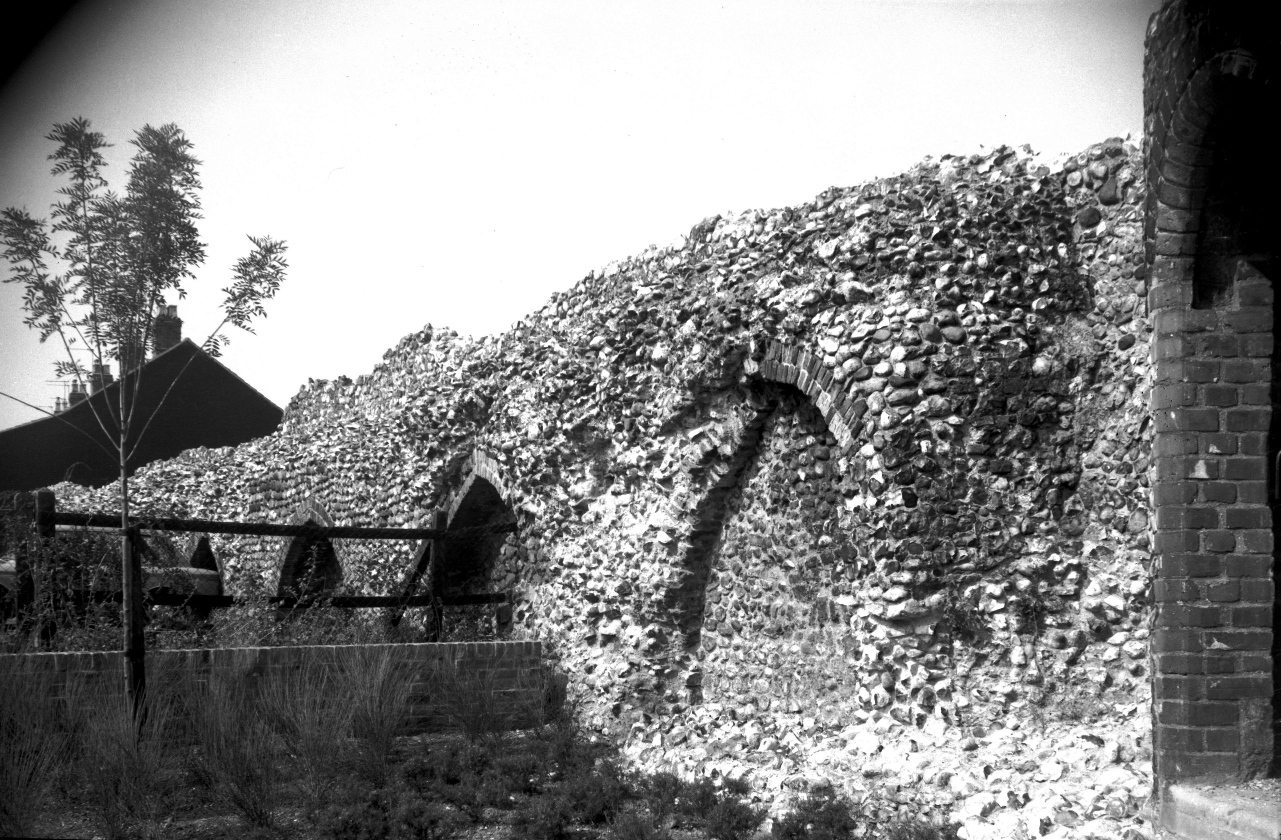
The building of the City Walls was commenced in 1294 and
finished during the first half of the 14c. In 1342
Richard Spynk contributed towards their completion. They
proved ineffective in repelling the enemy at the time of
Litester's Rising in 1381 and Kett's Rebellion in 1549,
but were more useful in the collection of tolls due to
the city, as well as in helping to prevent the spread of
infection during the great plagues of the 17c. |
|
|
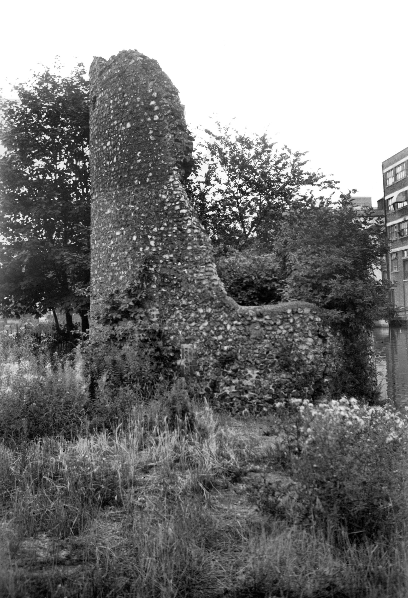
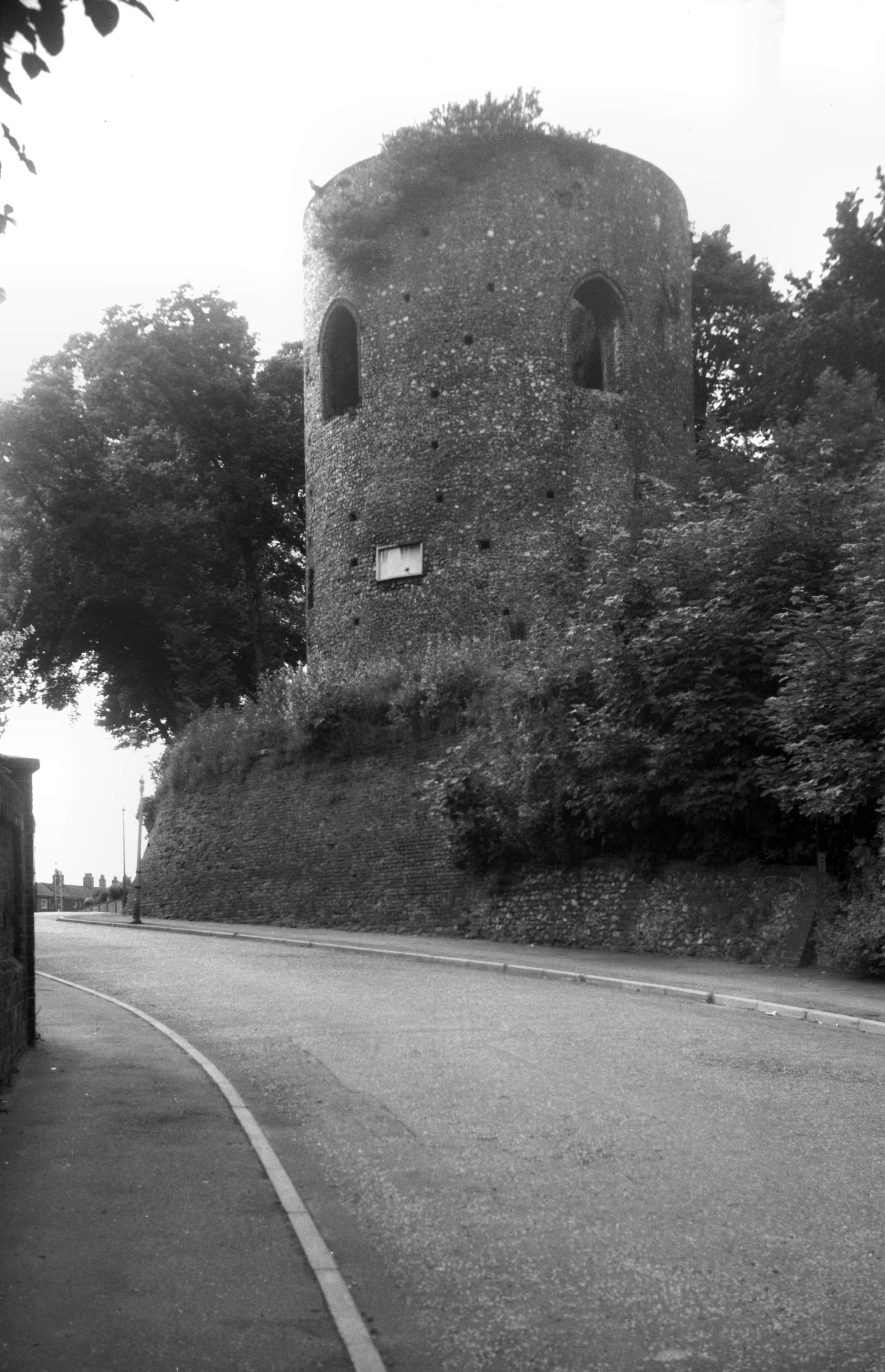
Western boom tower from Carrow Bridge [0094]
1934-05-17
A Windlass for winding the boom or chain was contained in
the western tower. This prevented the unauthorised entry
of rivercraft and assisted the collection of tolls. |
|
|
Western boom tower from Carrow Bridge [B094]
1931-00-00
|
|
|
Western boom tower from Wensum east bank [0060]
1934-03-25
|
|
|
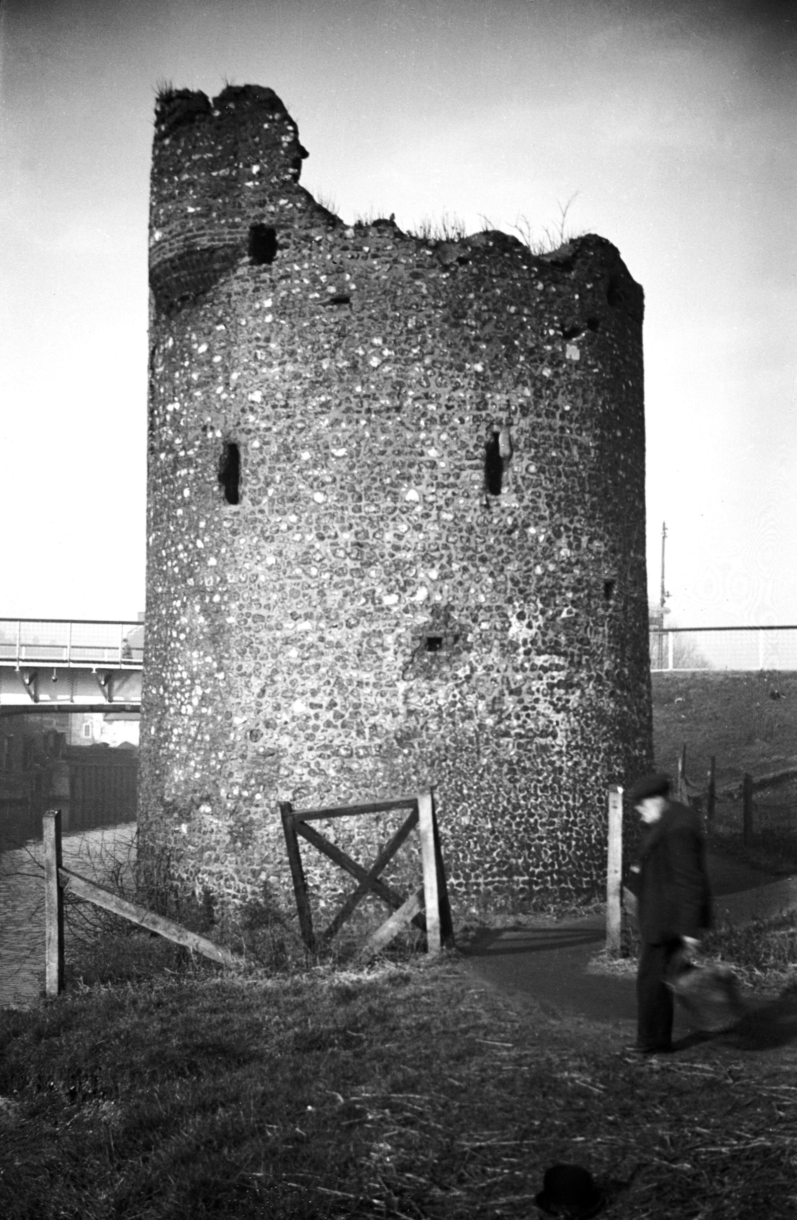
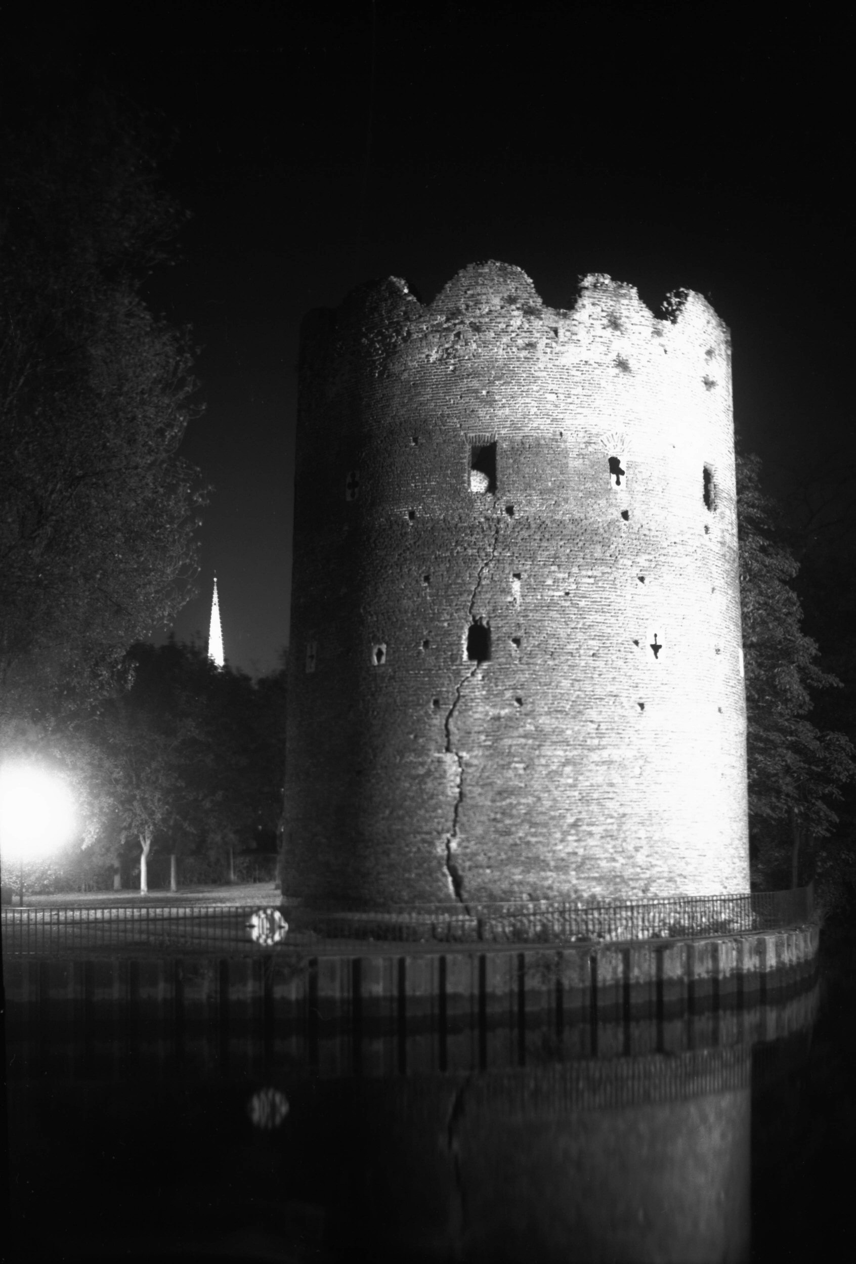
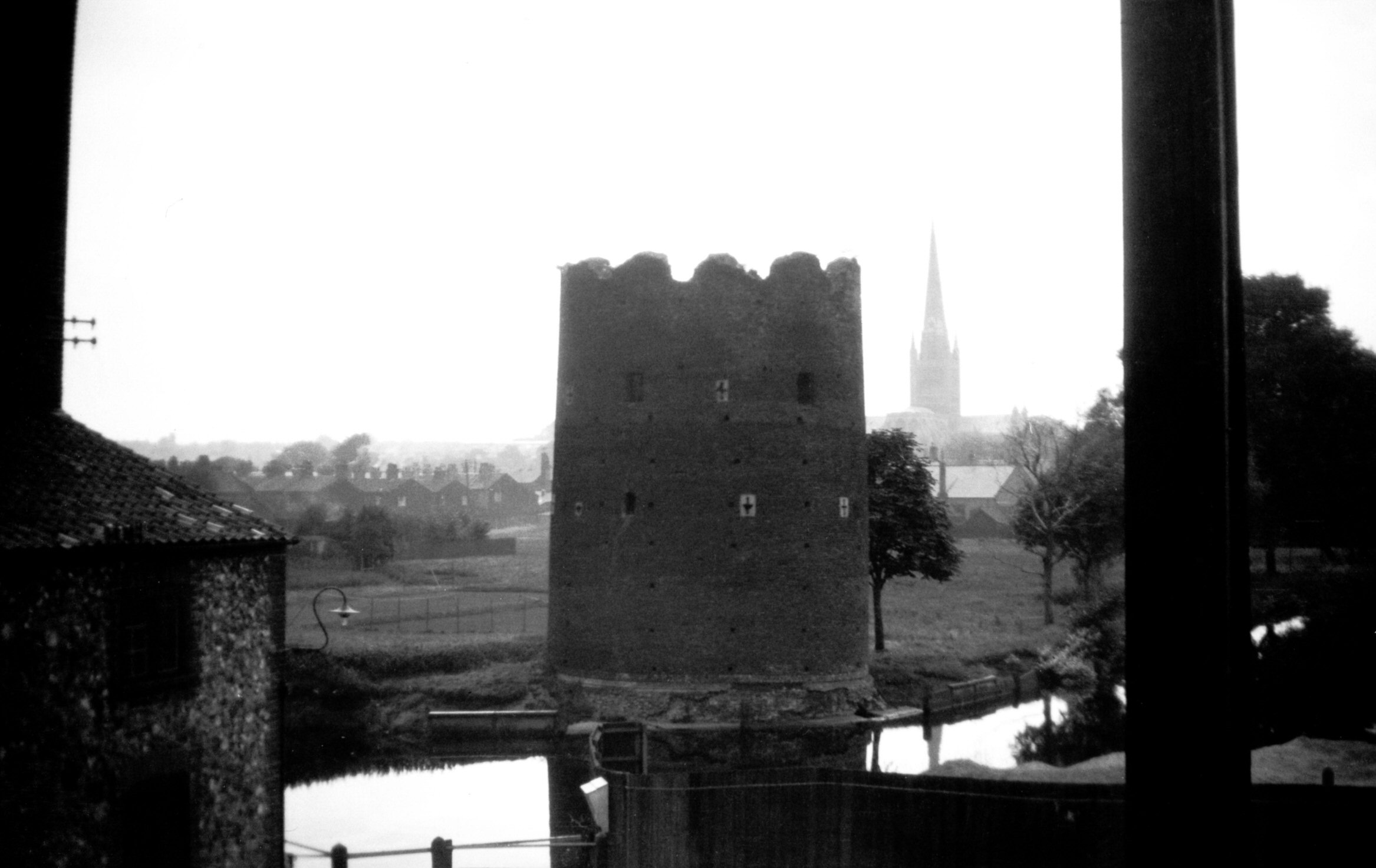
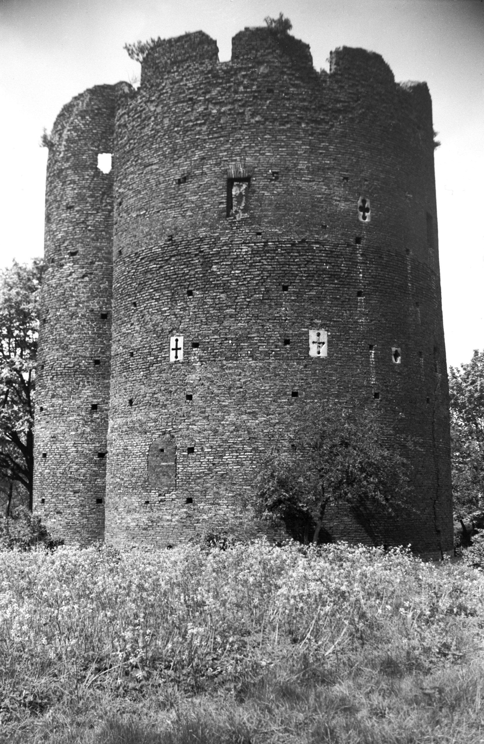
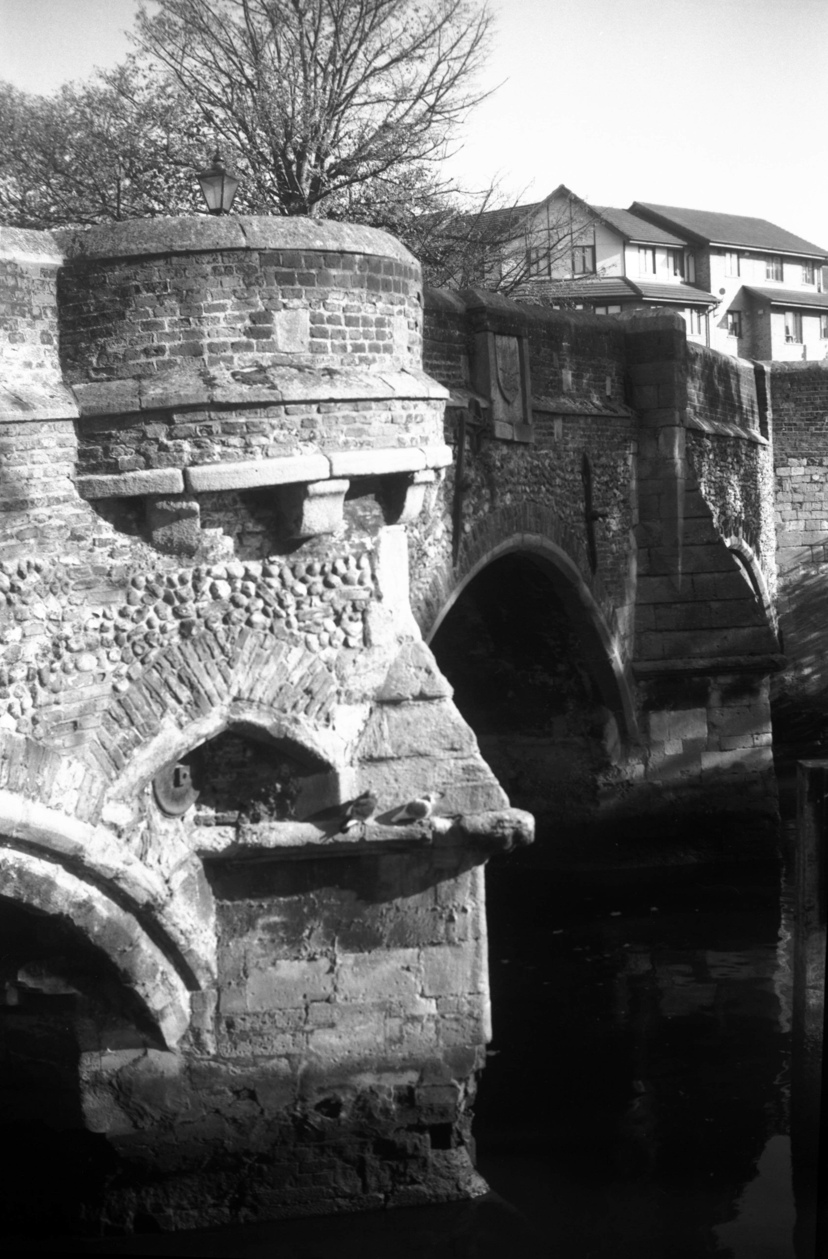
Devil's Tower eastern boom Carrow view S [0031]
1934-02-11
|
|
|
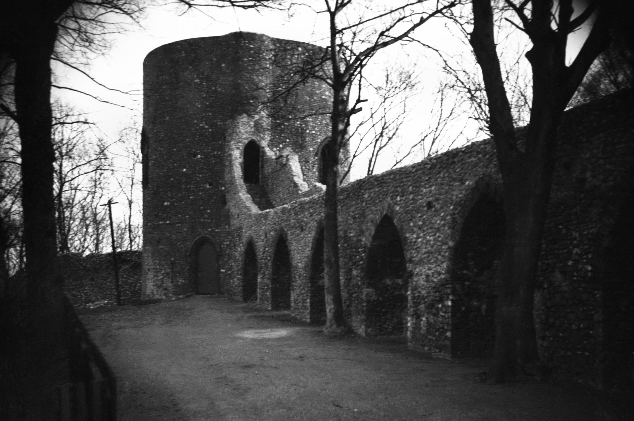
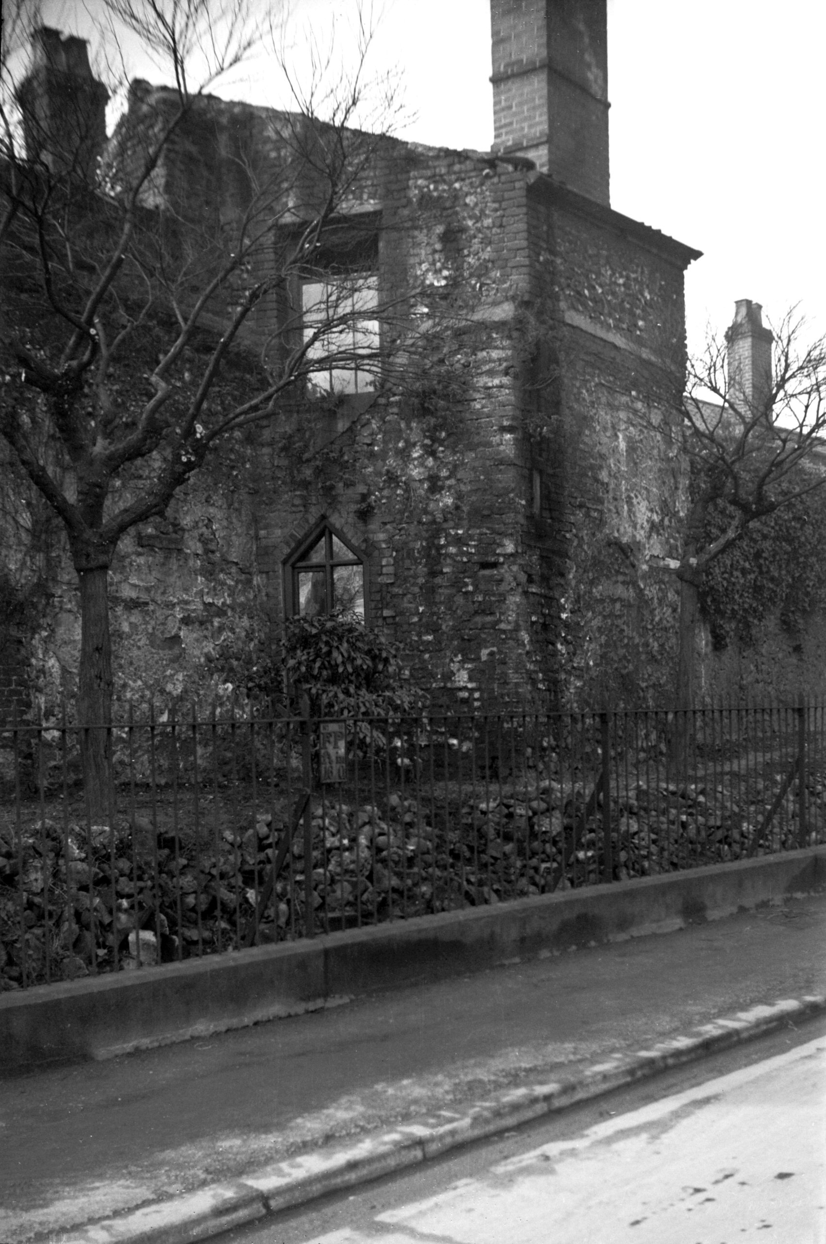
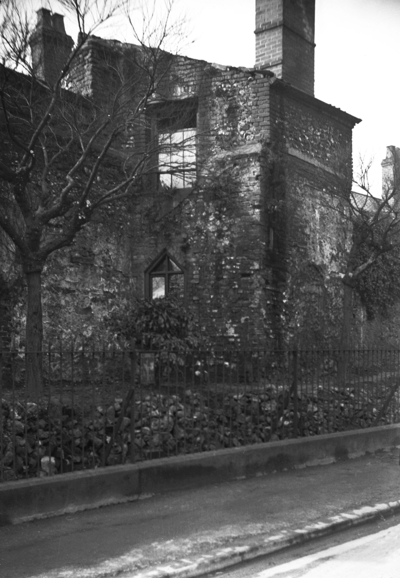
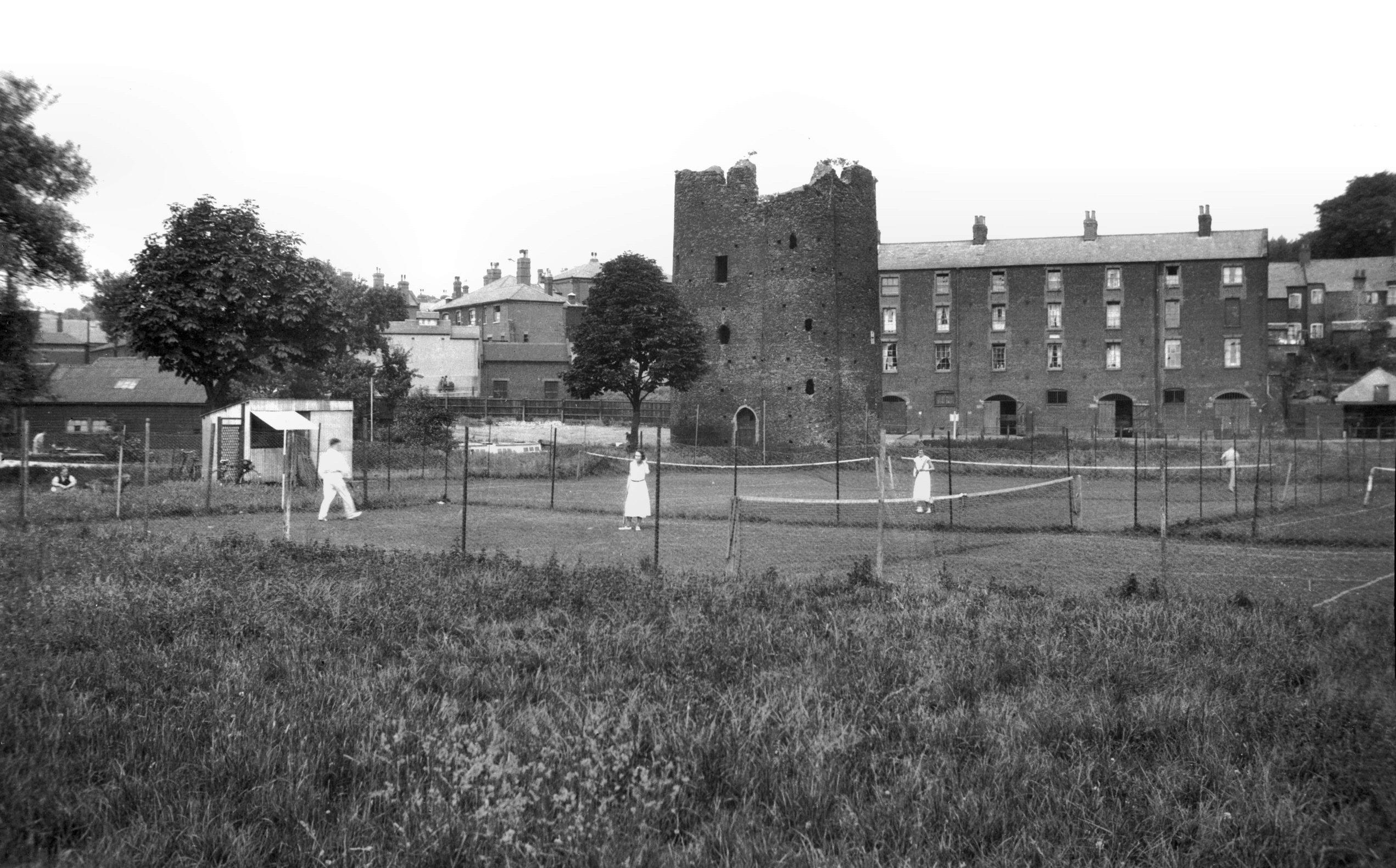
Eastern boom tower view SE [4359] 1955-08-20
Known as the Devil's Tower. |
|
|
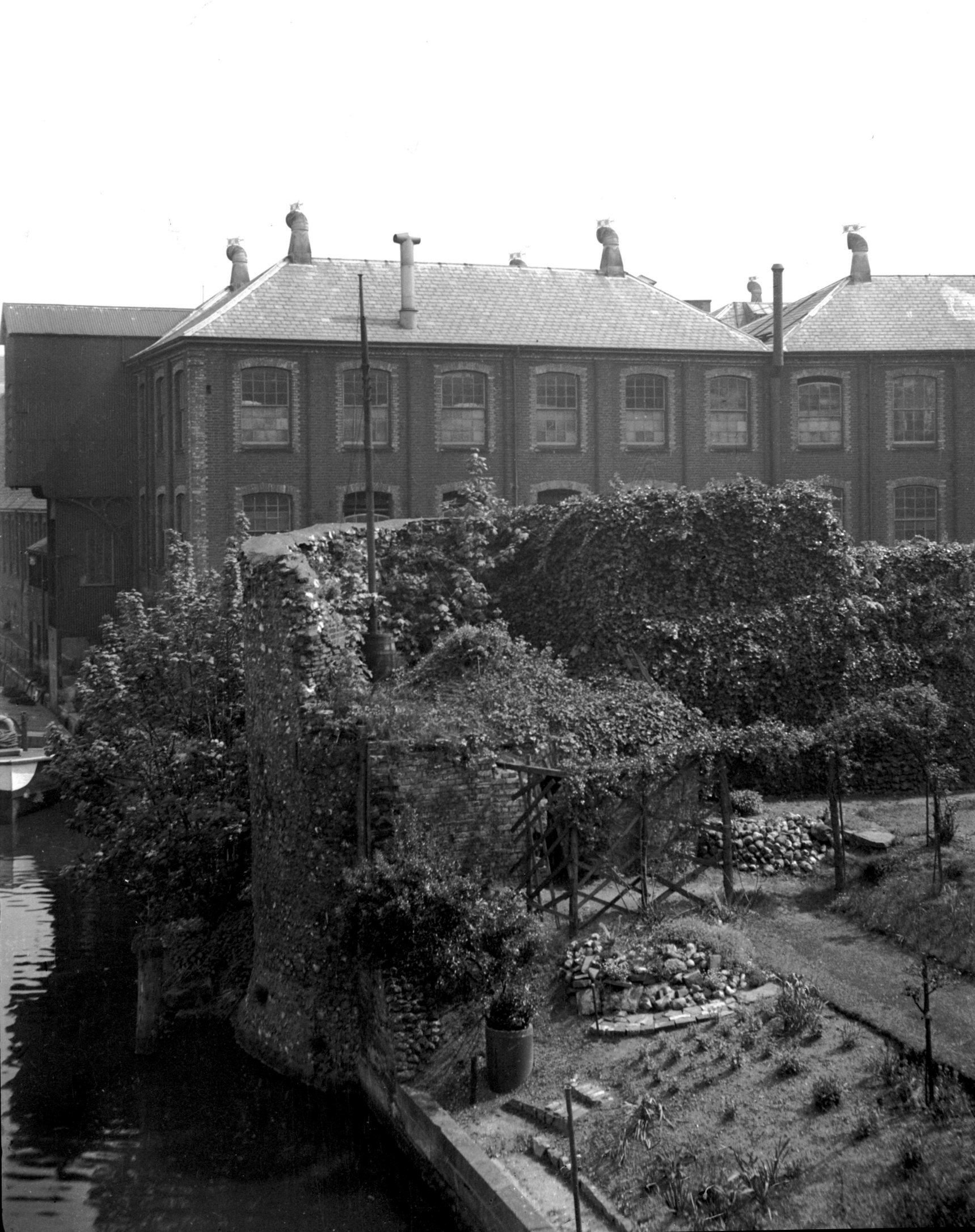
Western boom tower and cinder oven view SE [3414]
1940-05-16
Colman's factory behind. |
|
|
King St Gate east side from inside city [6298]
1984-04-28
View south. |
|
|
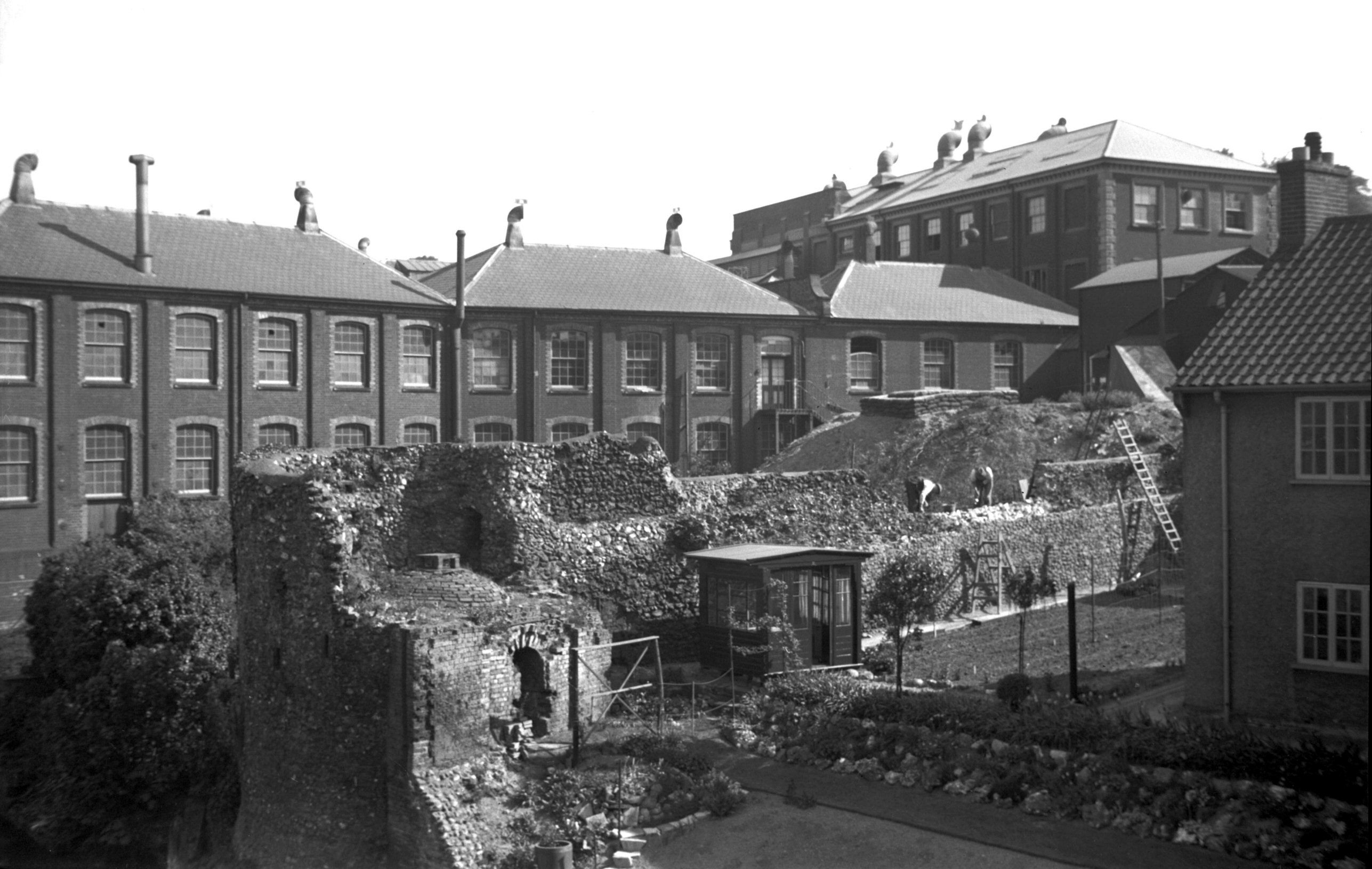
King St Gate west side Cinder Ovens Row [5191]
1968-04-18
View north-west. |
|
|
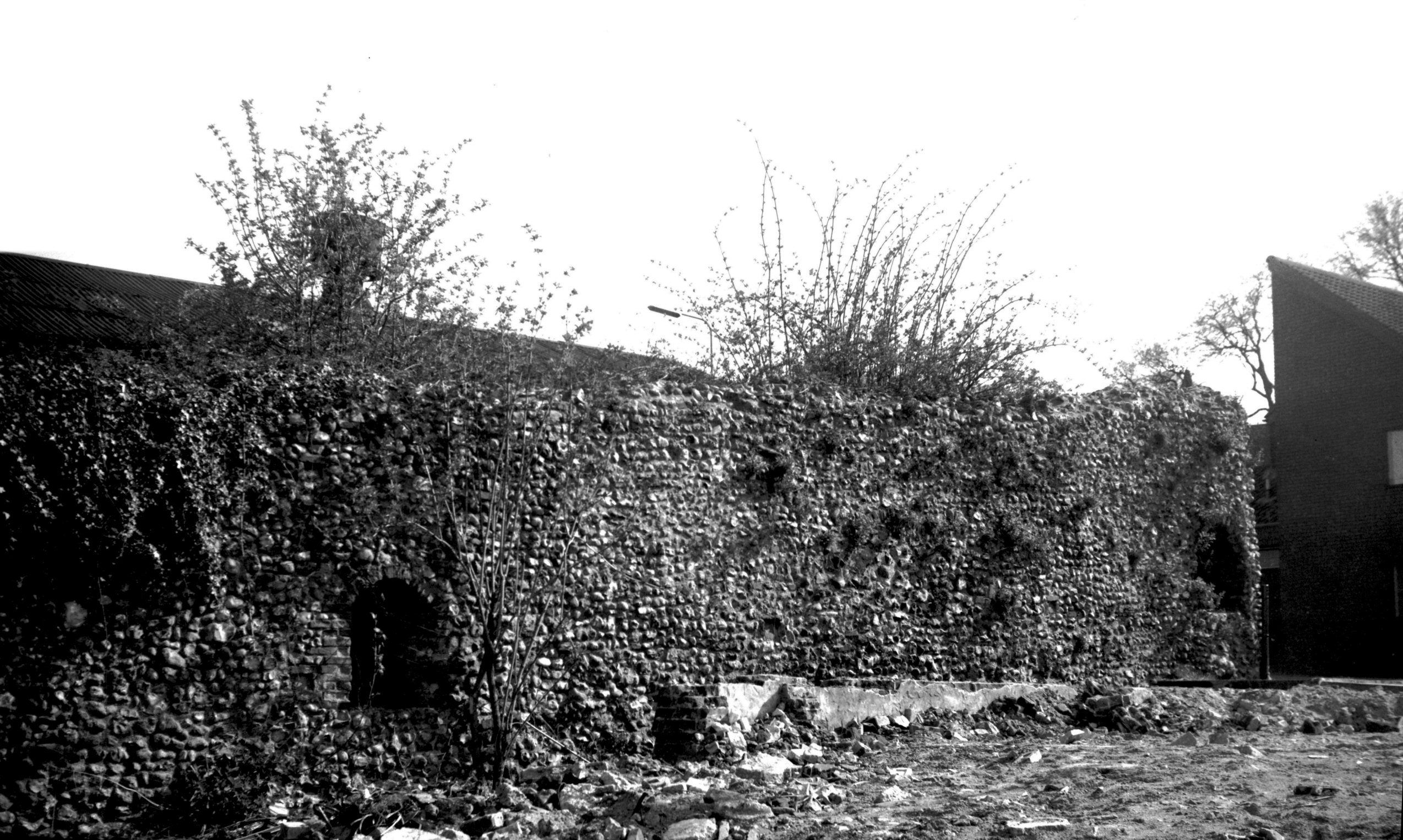
King St west side Cinder Ovens Row [4360] 1955-08-20
|
|
|
King St Gate east side arrow loop [7922] 2003-03-15
From inside wall. |
|
|
Wilderness Tower from Way under the Walls [4905]
1965-05-01
|
|
|
Wilderness Tower from King St [B095] 1931-00-00
|
|
|
Wilderness Tower north side from Alan Rd [2189]
1938-03-21
|
|
|
Wilderness Tower and Black Tower [2190] 1938-03-21
|
|
|
Wilderness Tower and Black Tower [4361] 1955-08-20
|
|
|
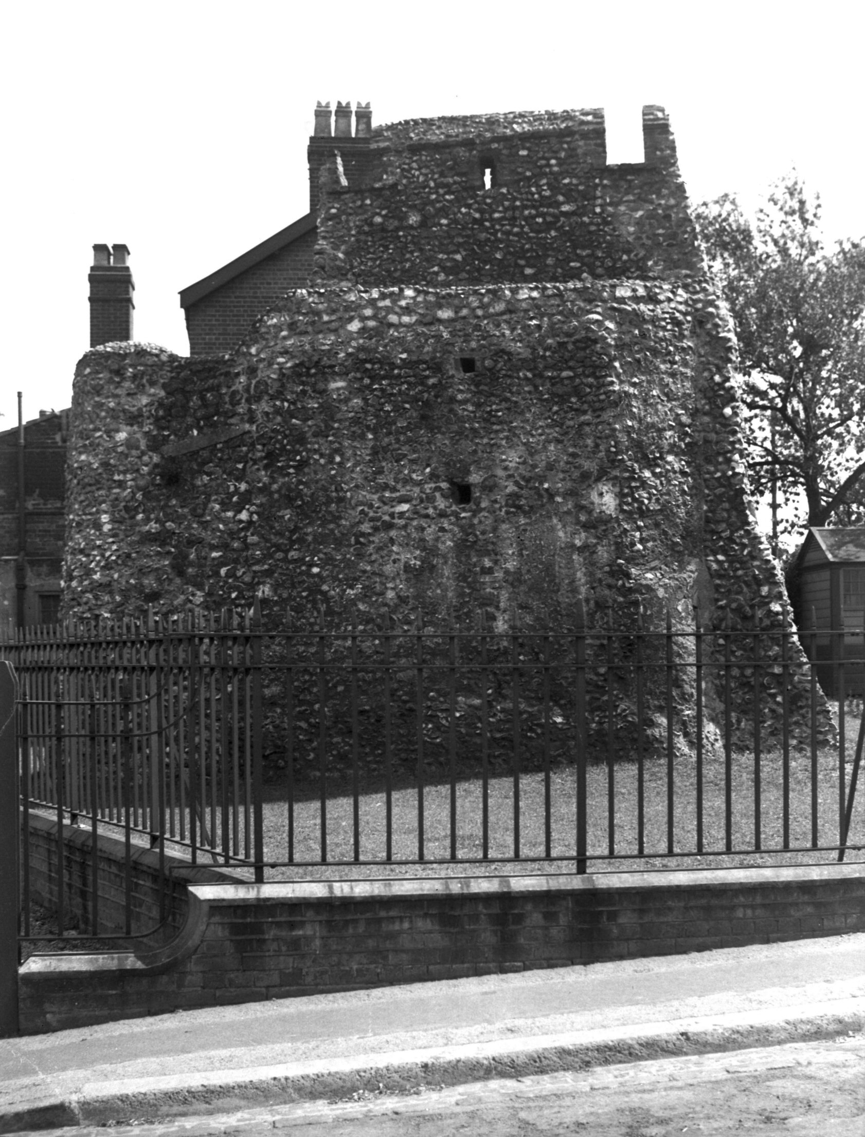
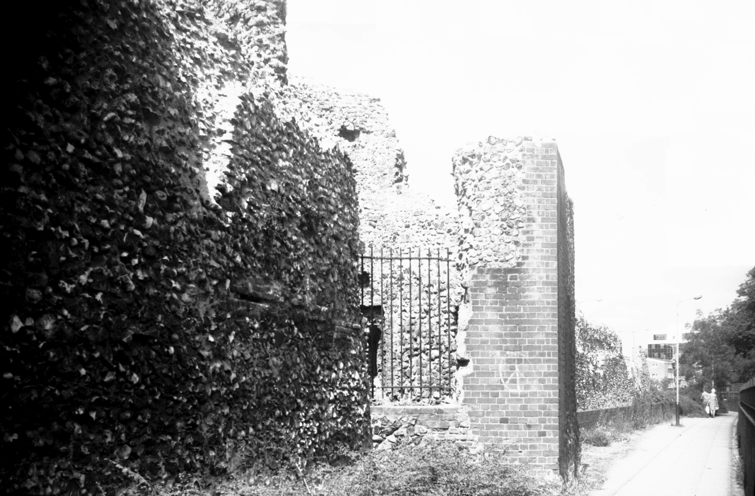
Carrow Hill 2 wall view NE [0017] 1934-01-21
At crest of hill. |
|
|
Wilderness Tower from Carrow Hill [3621] 1946-04-19
|
|
|
Black Tower view NE from Carrow Hill [B811]
1933-12-05
|
|
|
Black Tower view west from Carrow Hill [4779]
1964-06-27
|
|
|
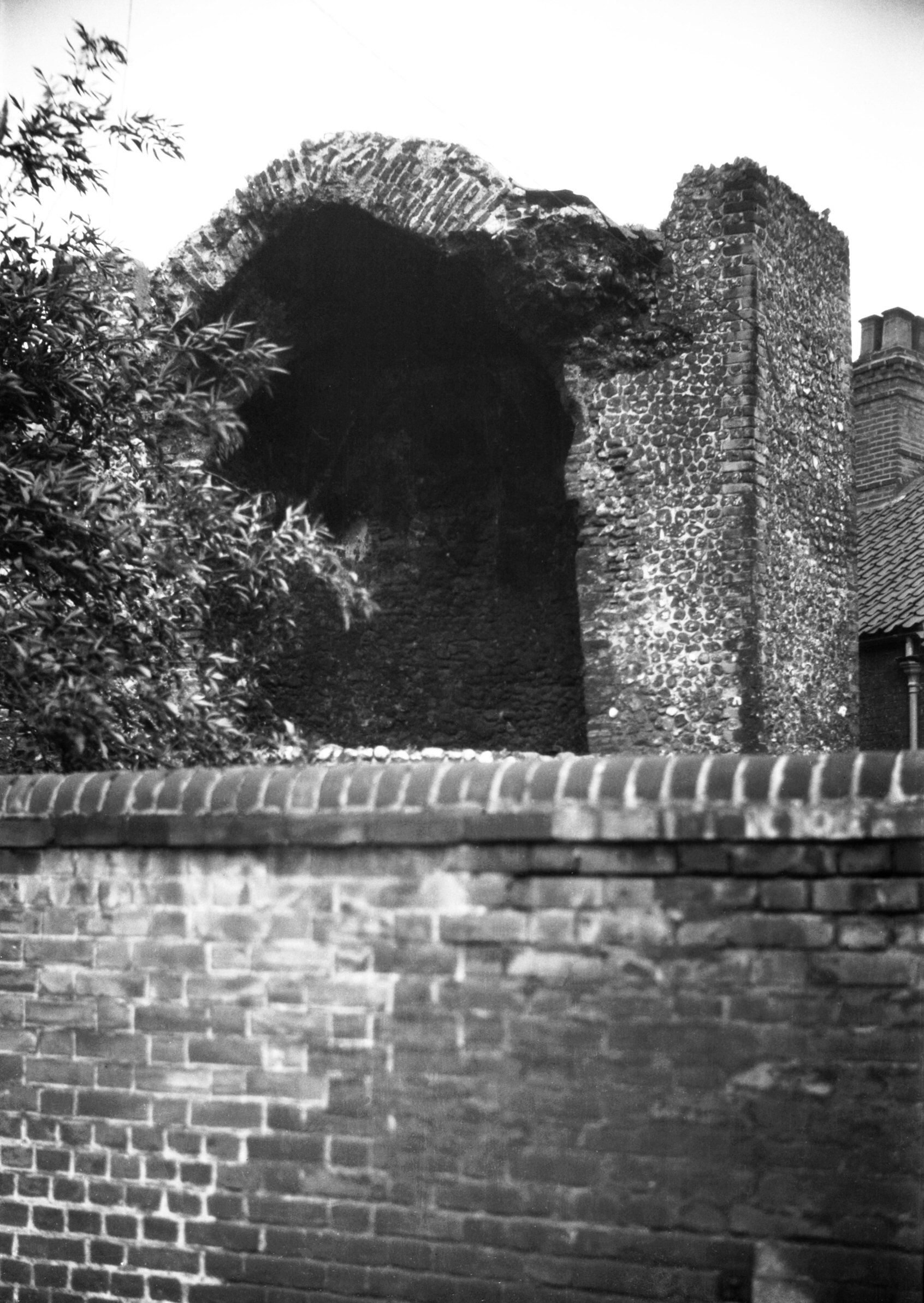
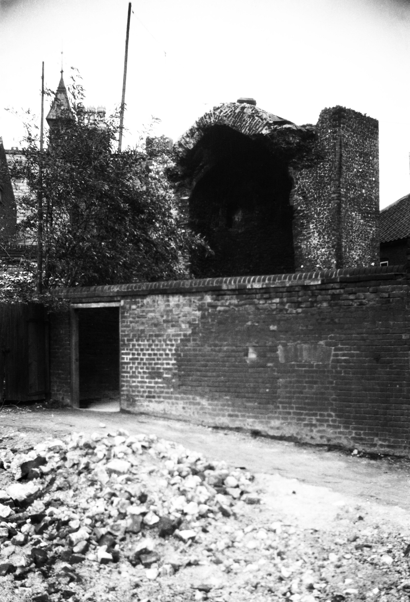
Black Tower doorway onto wall walk [6215] 1981-07-21
|
|
|
Black Tower doorway onto wall walk [0052] 1934-03-08
|
|
|
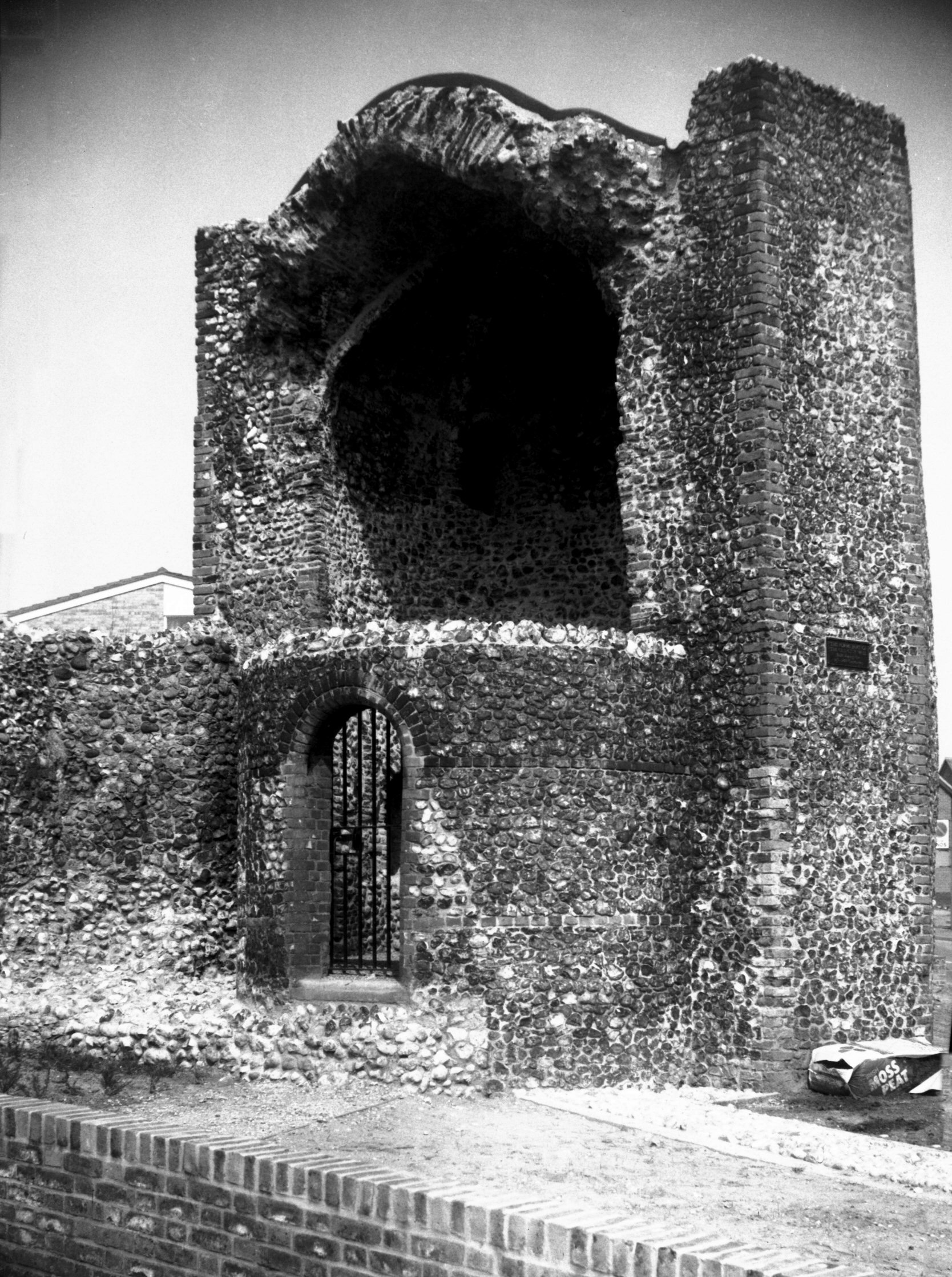
Black Tower and wall view south [6207] 1981-07-07
Also known as the Snuff Tower or the Duke of Buckingham's
Tower. |
|
|
Black Tower and wall view south [0051] 1934-03-08
|
|
|
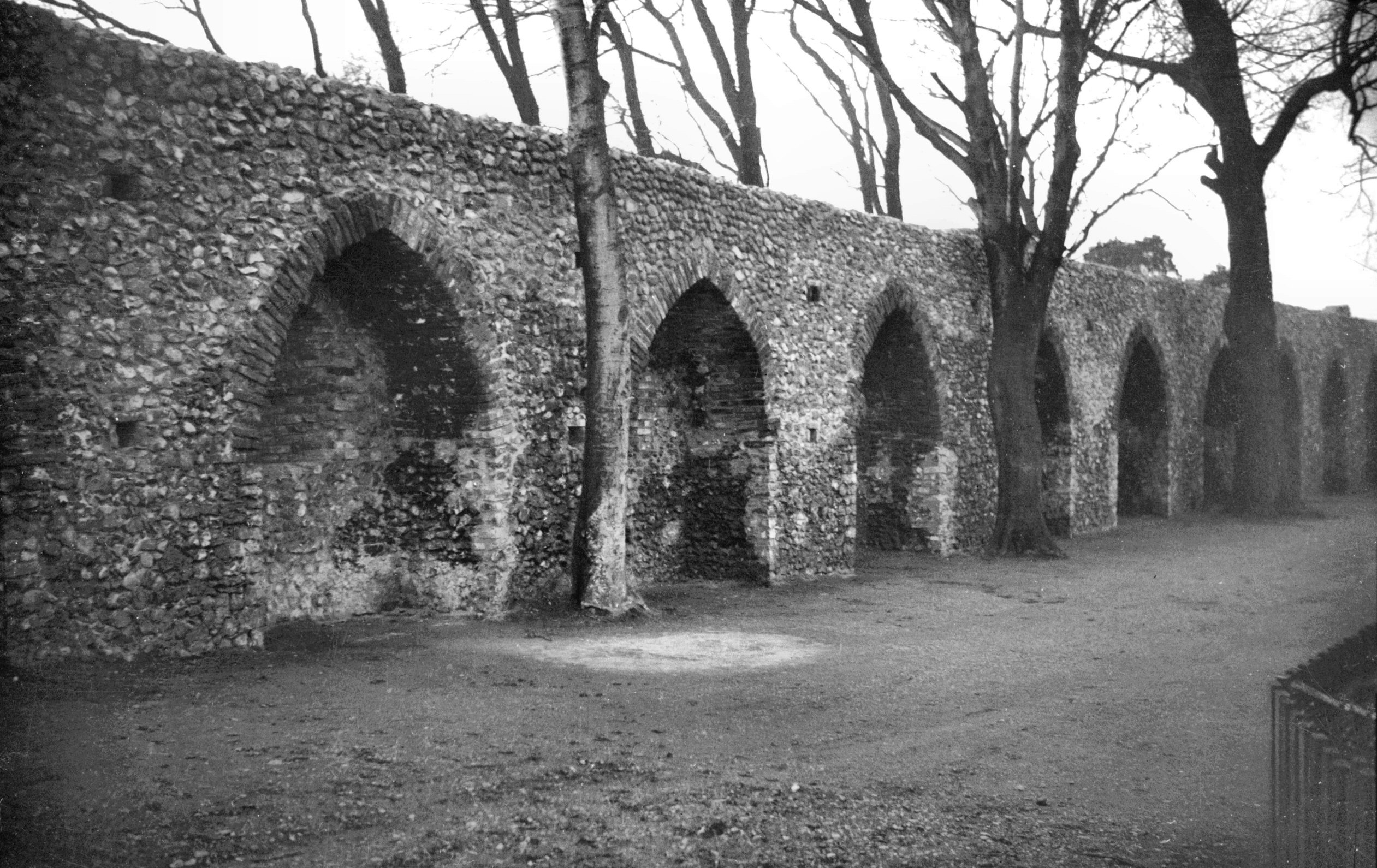
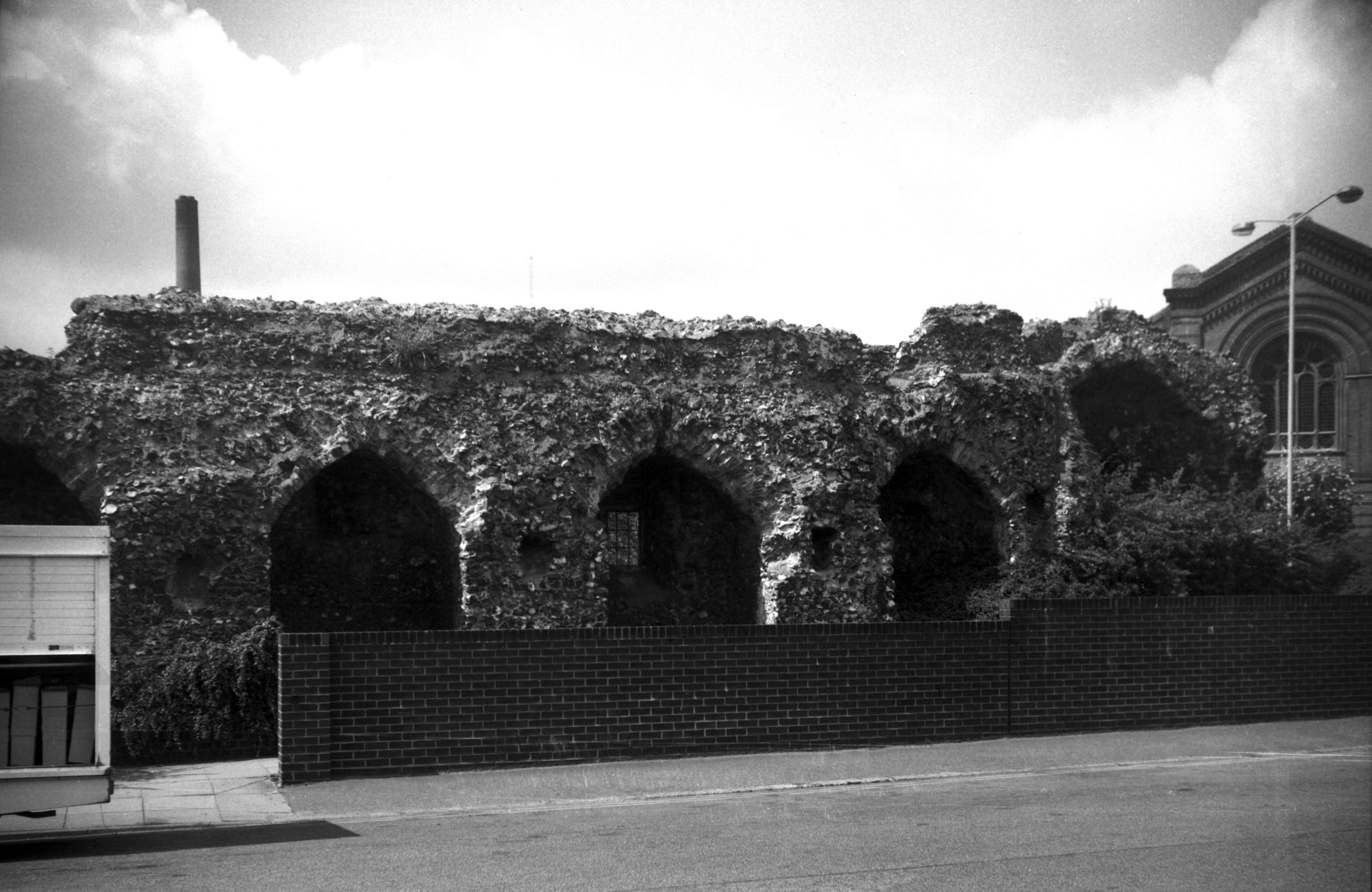
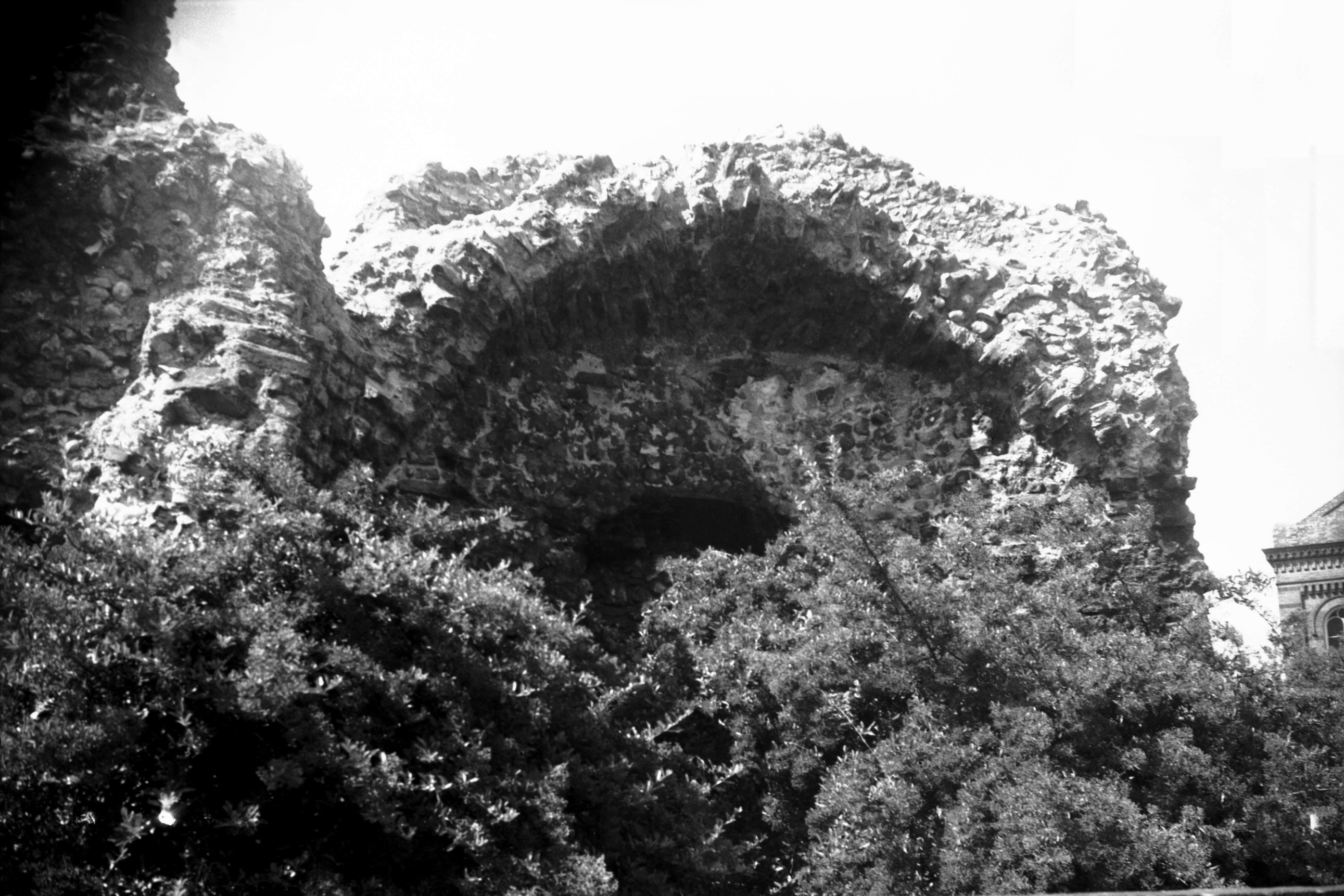
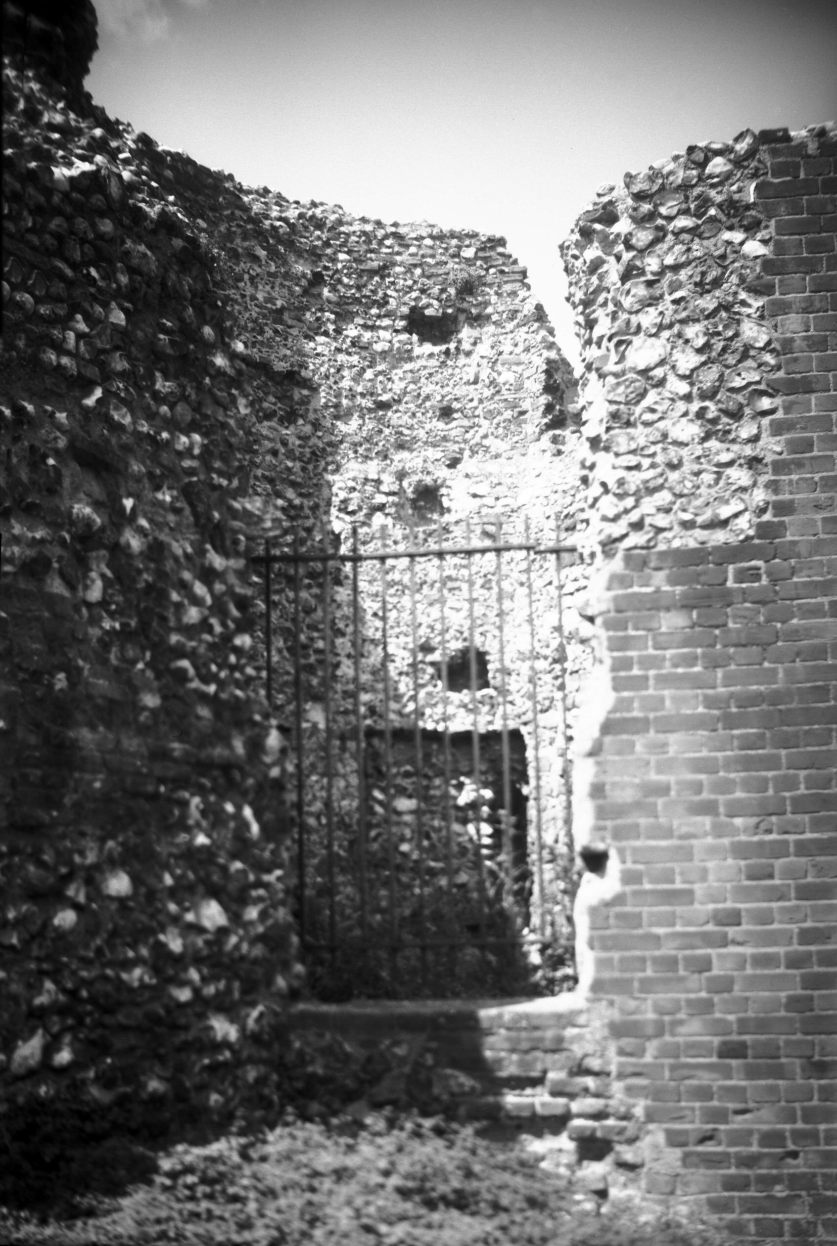
Carrow Hill arched recesses in wall [0053] 1934-03-08
|
|
|
Carrow Hill lower slope view north [0009] 1934-01-08
|
|
|
Carrow Hill wall from inside city [6206] 1981-07-07
At crest of hill. |
|
|
Carrow Hill 2 from outside city [0386] 1935-03-12
At crest of hill. |
|
|
Bracondale wall near Ber St Gate [3182] 1939-07-30
|
|
|
Bracondale wall near Ber St Gate [0016] 1934-01-21
|
|
|
Bracondale angle in wall near Ber St Gate [3181]
1939-07-30
|
|
|
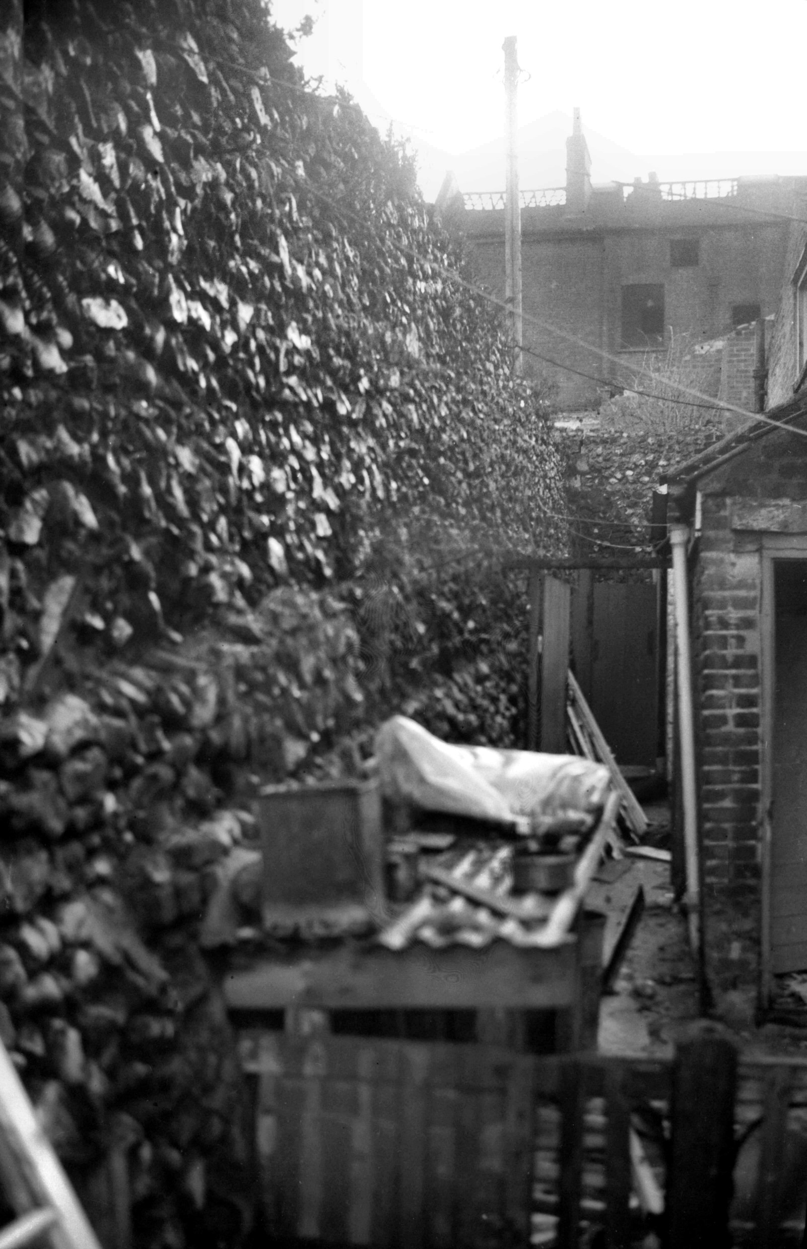
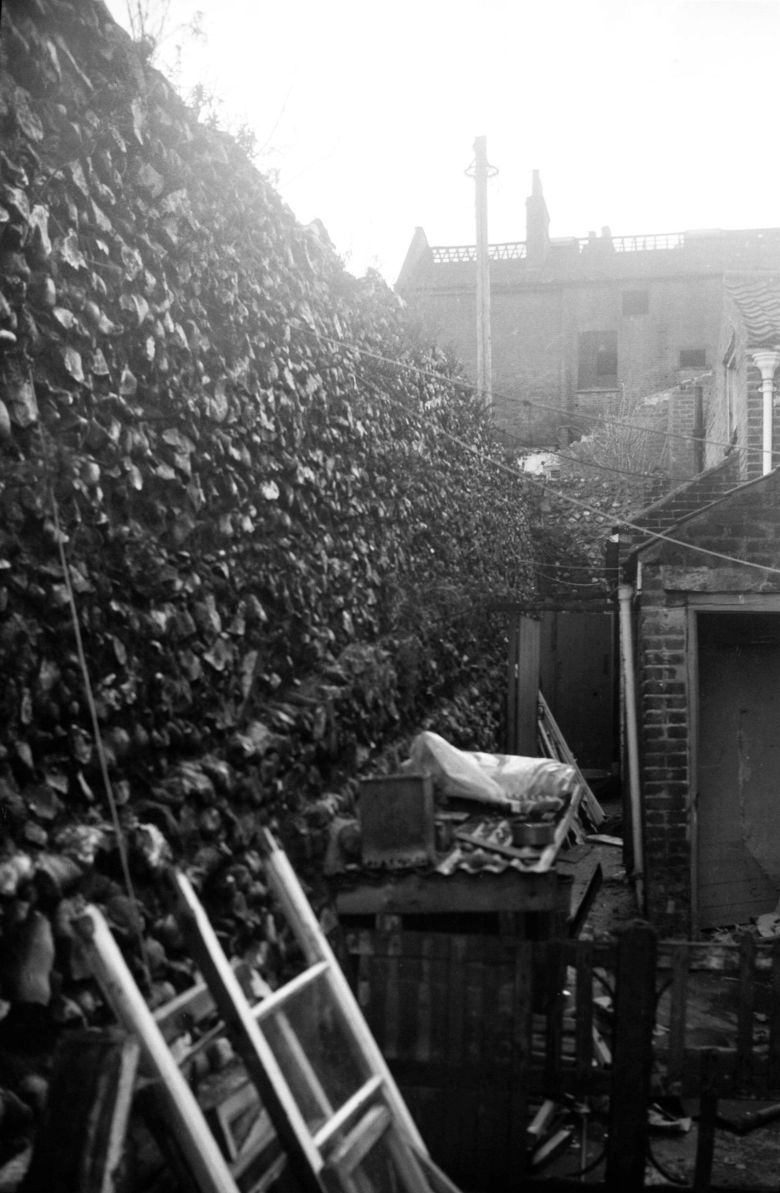
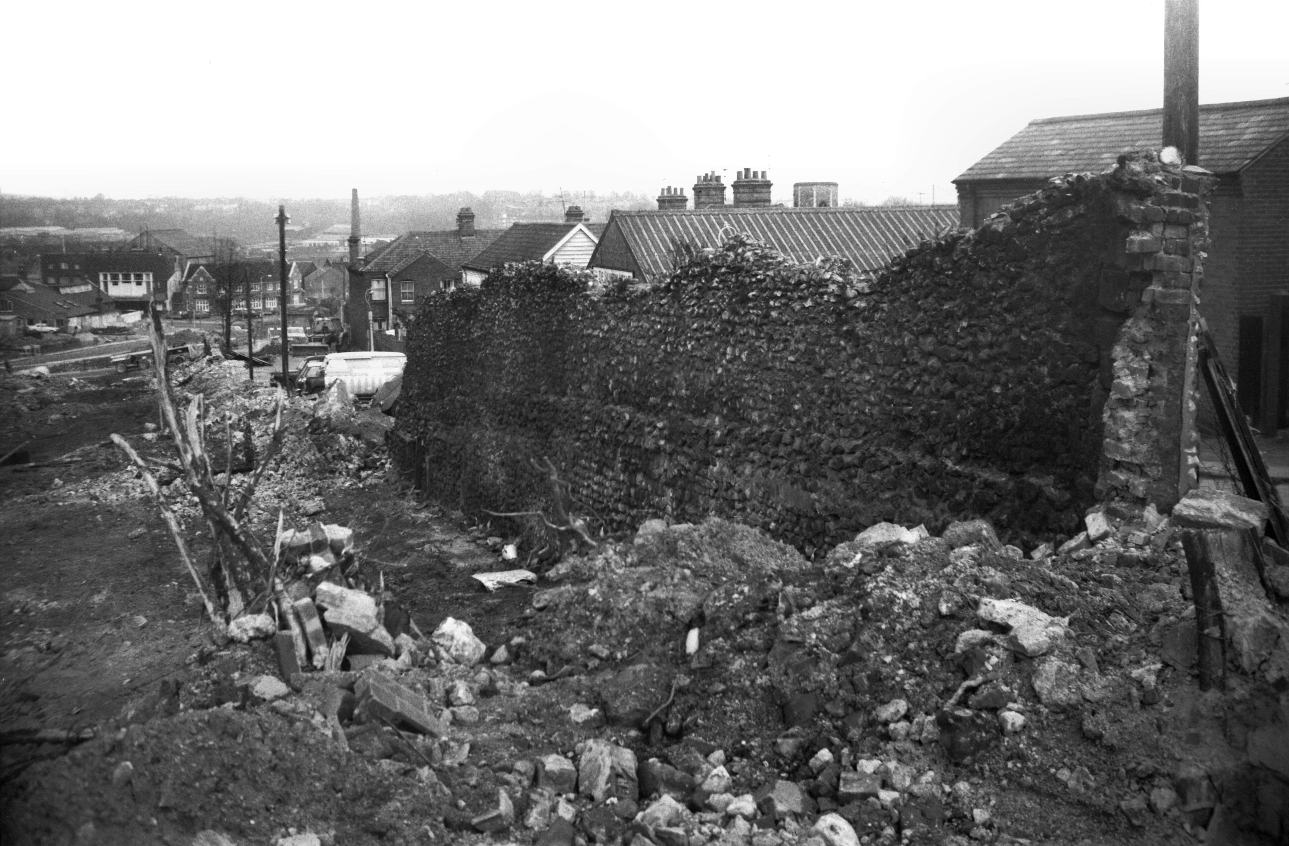
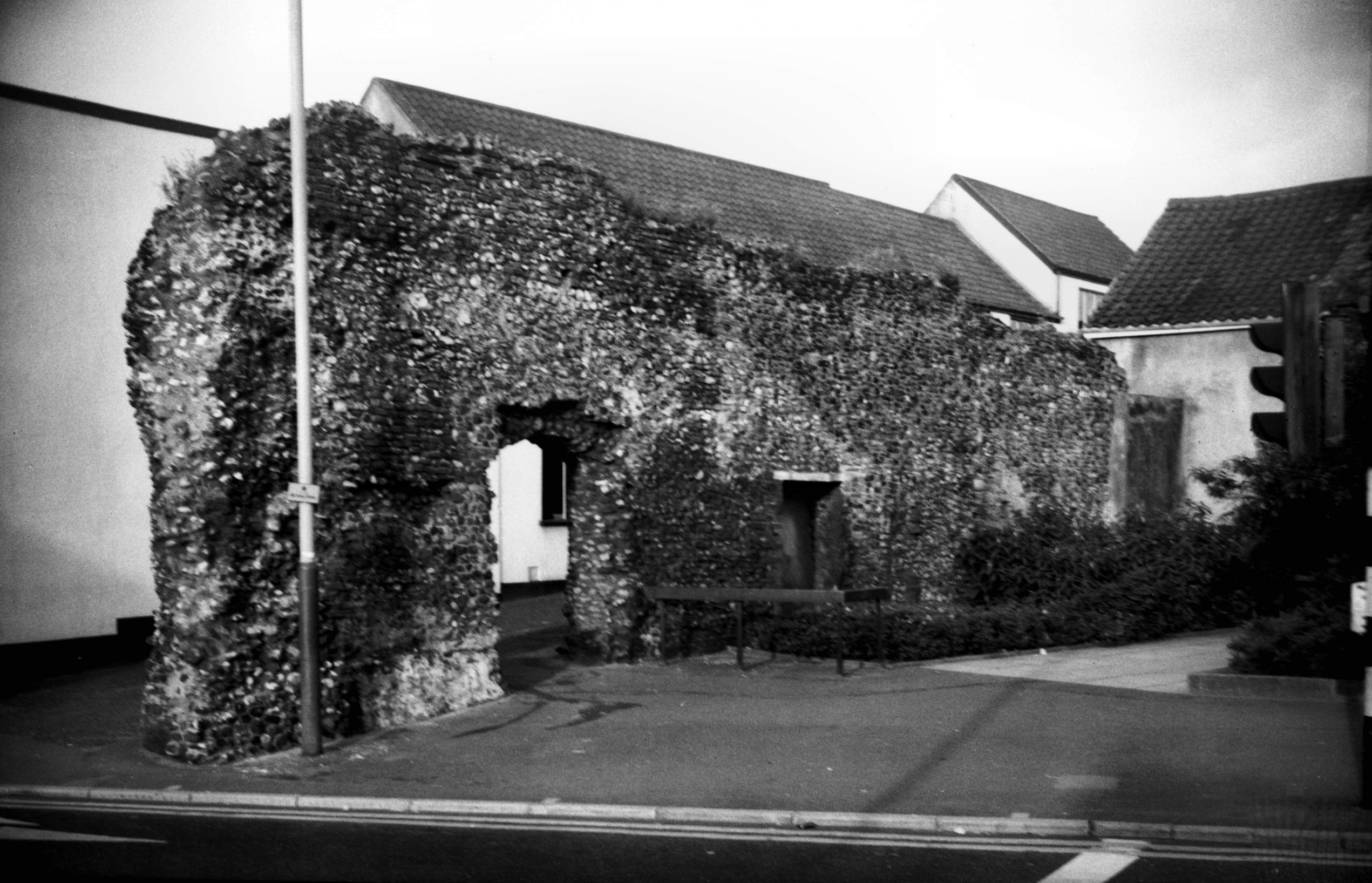
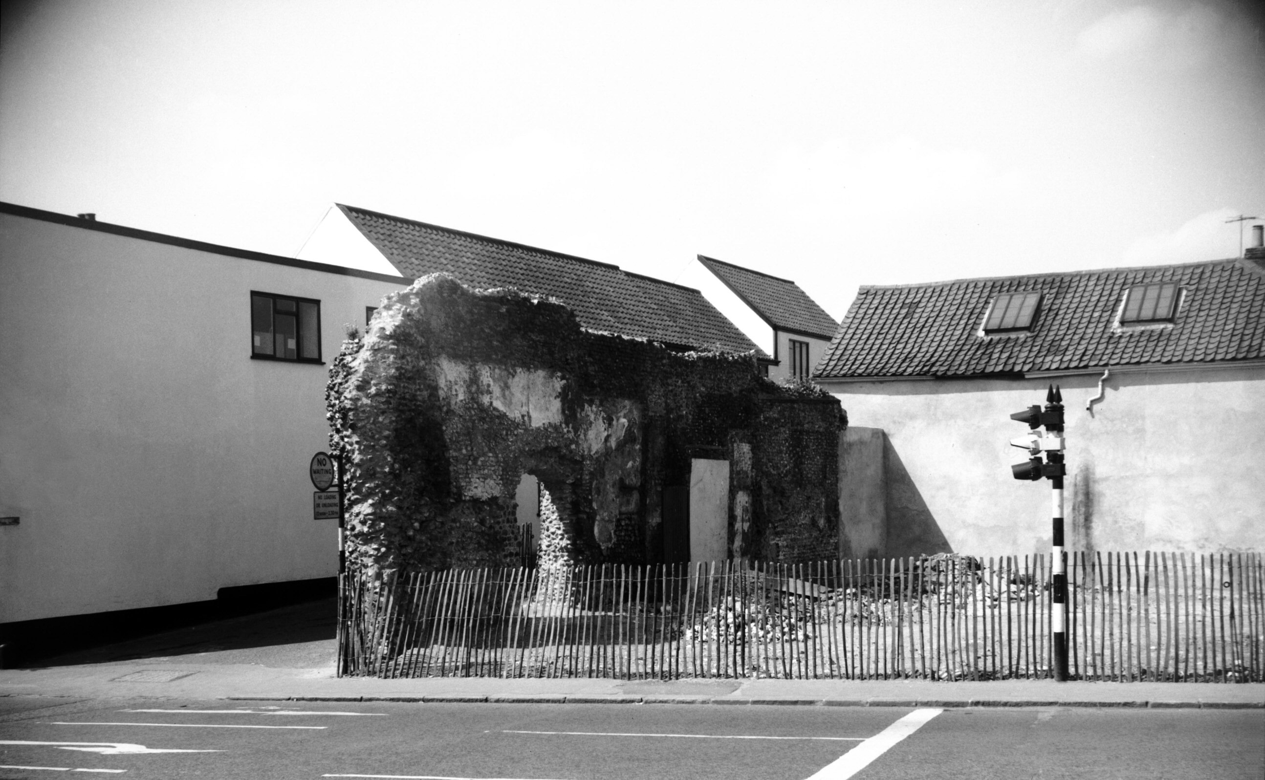
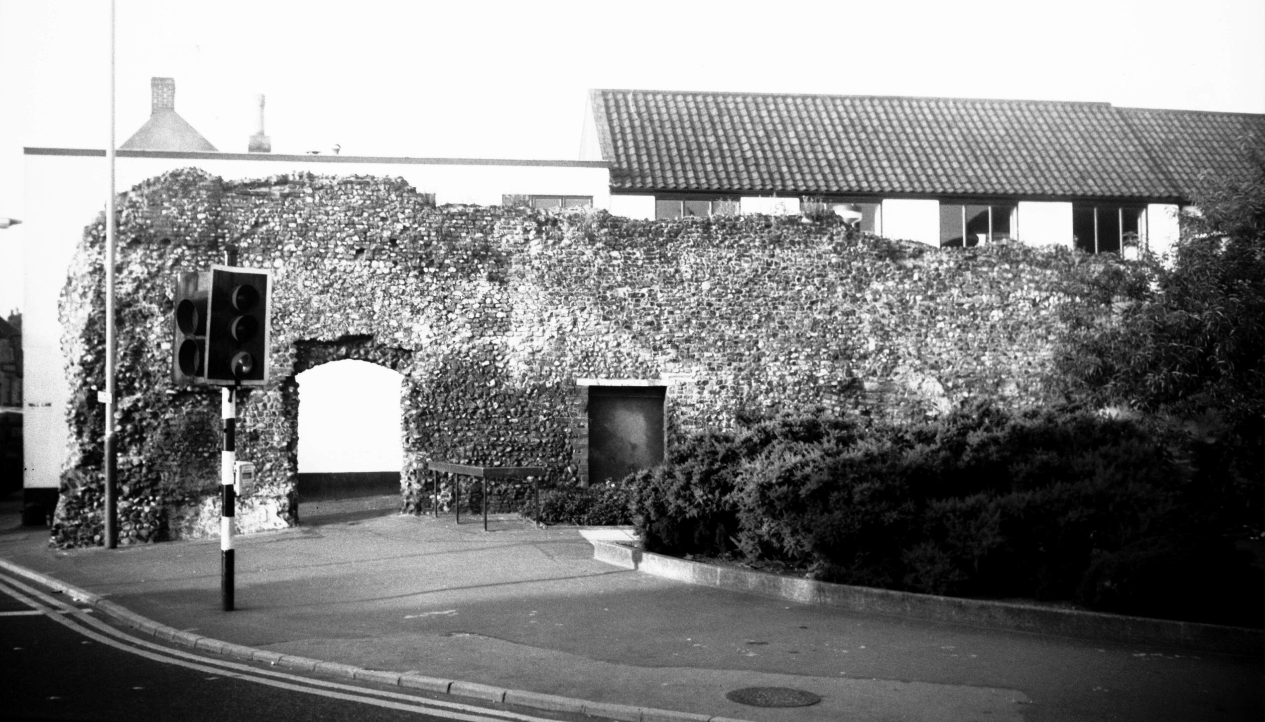
Queen's Rd tower from Bull Lane [0092] 1934-05-10
|
|
|
Queen's Rd tower from Bull Lane [4664] 1962-05-06
Showing doorway to wall walk remaining on the west side. |
|
|
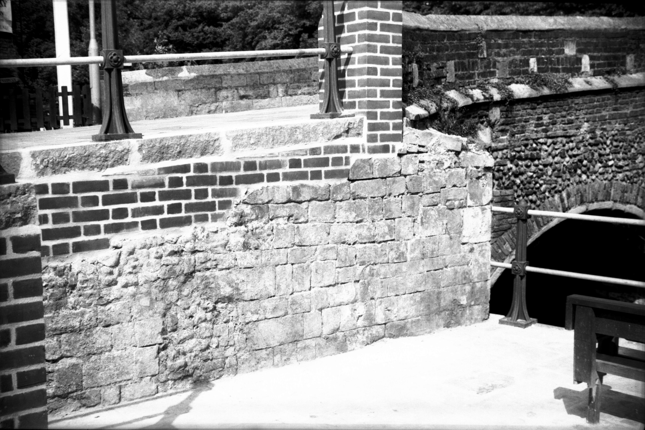
Queen's Rd tower from Queen's Rd [4663] 1962-05-06
With the road from London leading directly to St
Stephen's St the gate here was perhaps the most important
in the city's circumvallation. Certainly it was the most
imposing in appearance, with a tower on either side
surmounted by battlements, and with the city arms above
the outside arch. What an attraction to antiquarians it
would have been were it standing today, though it would
have posed a problem for present-day traffic. It was,
however, demolished in 1793; no price was charged, the
work being done in exchange for the materials of the gate
alone. This "price" included the paving of 22
yards of the carriageway and finishing an abutment to the
wall, although £20 would be allowed if rusticated piers
were introduced.
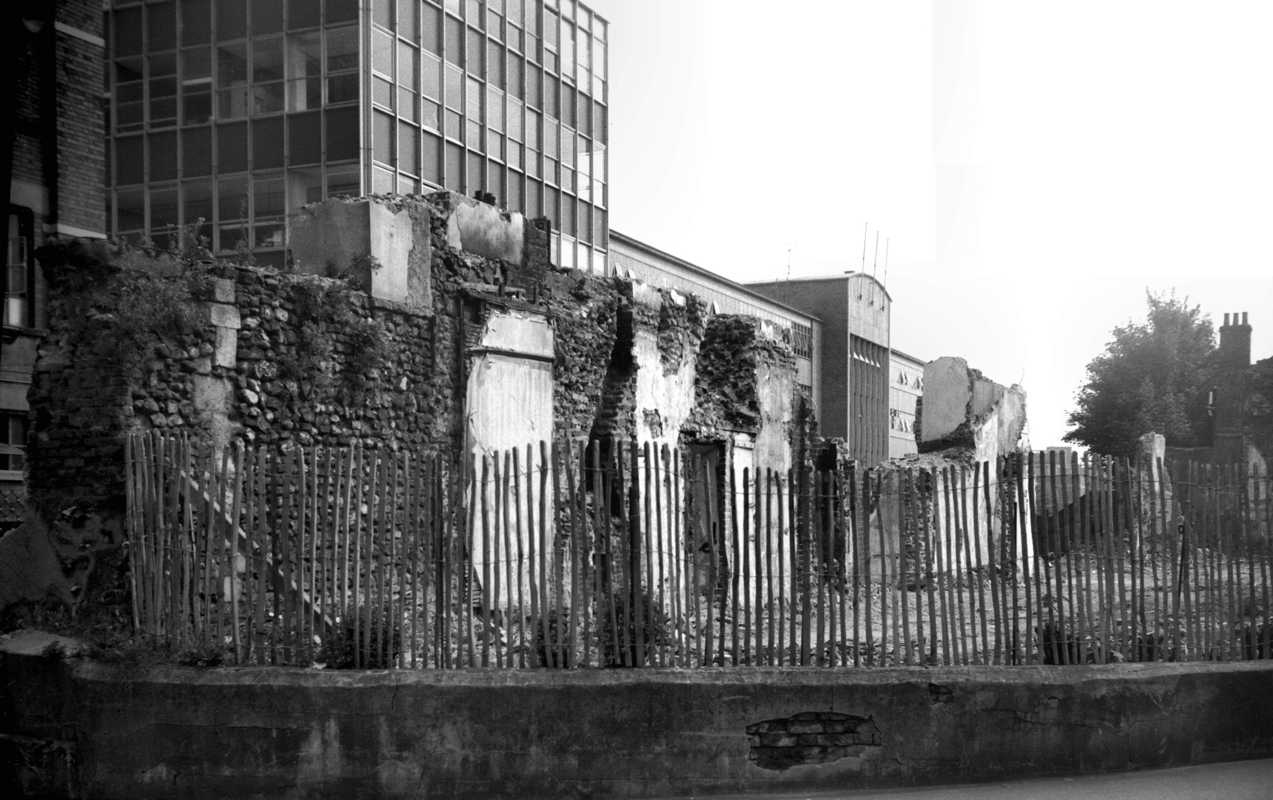
On 20th October 1908, the council requested the City
Committee to make a report on the condition of the old
city wall with the possibility of further exposing it to
view. Seven months earlier, when some worn-out cottages
were being demolished in Coburg St, a small section of
the city wall upon which these houses had been built had
collapsed, and it may have been this that prompted the
request for a survey. City Engineer Arthur Collins
presented his report in 1910, but four years later with
the advent of war matters had to be held in abeyance.
In the 1920s and 1930s certain small parts of the wall
were revealed as opportunity allowed, notably at St
Benedict's and Ber St. The construction of the Inner Link
road and the widening of St Stephen's St in the early
1960s, however, provided the opportunity of opening up
considerable length along Chapel Field Road, together
with a smaller section incorporating a tower at Queens
Road.
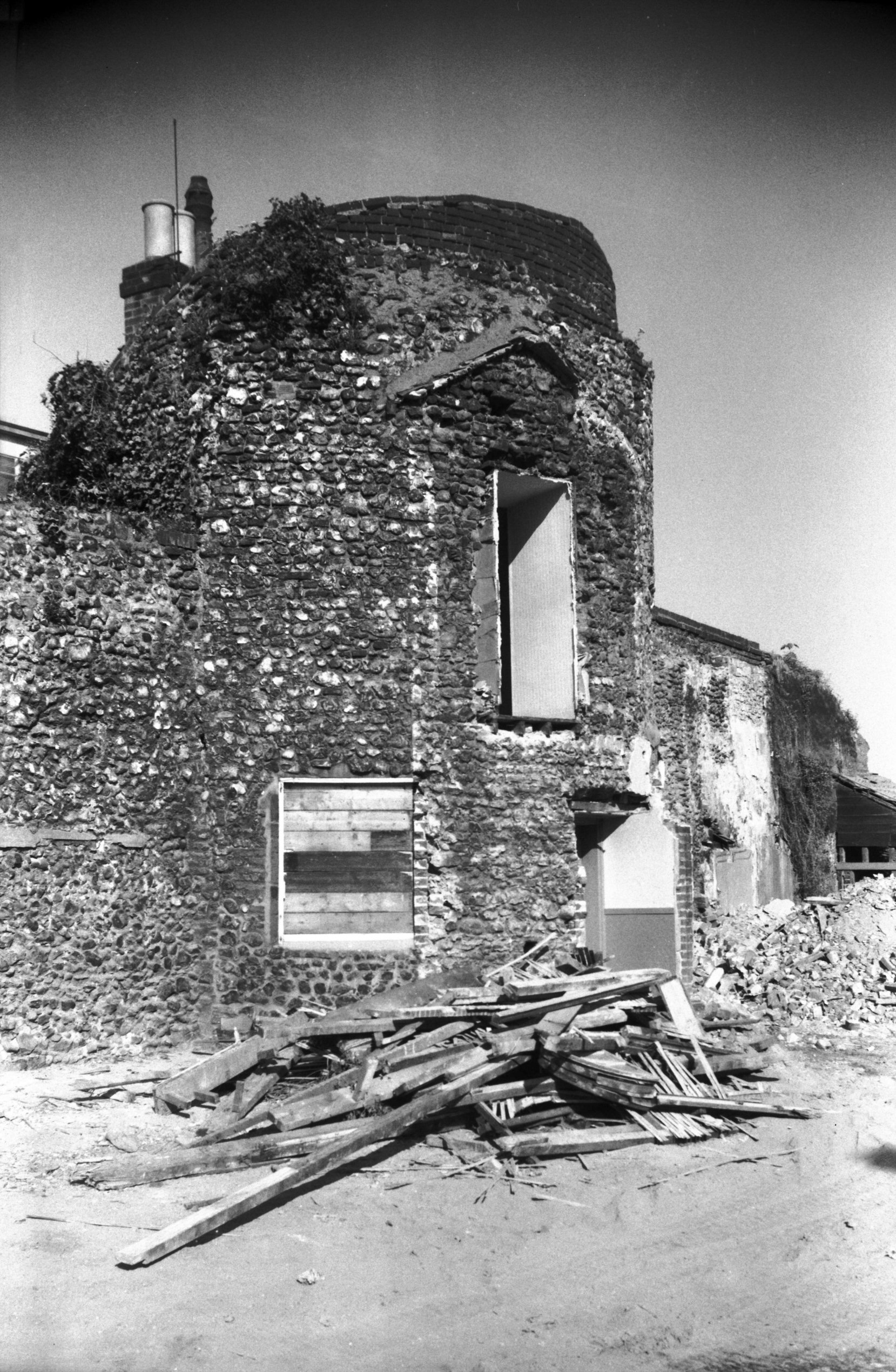
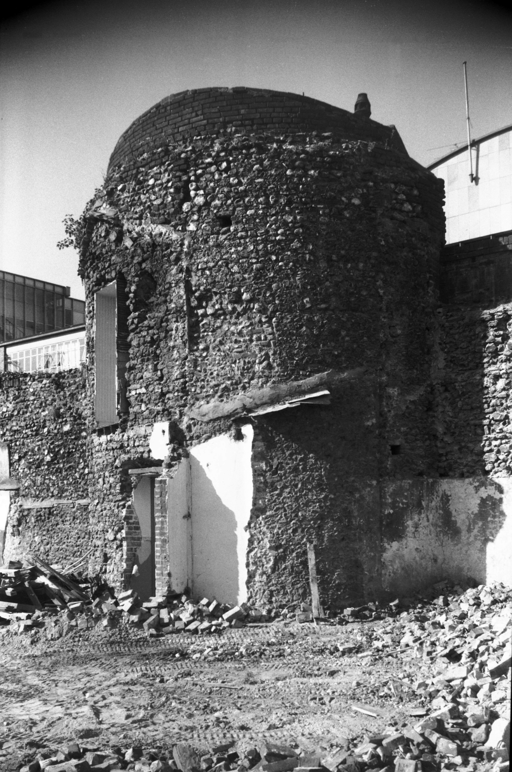
The latter, known as the eighth tower, had stood in the
back garden of No 8 Queens Road with only its upper
doorway and rear wall visible to the public from Bull
Lane. For a while its fate hung in the balance, one
councillor describing it as "a bit of old
rubbish", but something of a compromise was reached:
part of the adjoining wall had to go but the tower was
allowed to remain, albeit robbed of the smooth flint
facing of its upper stage. A report published in 1964
mentions the brick vault supporting the first floor and a
doorway to the wall walk on the west side. Subsequent
vandalism unfortunately seems to have damaged if not
destroyed the two 14c gun ports also described. |
|
|
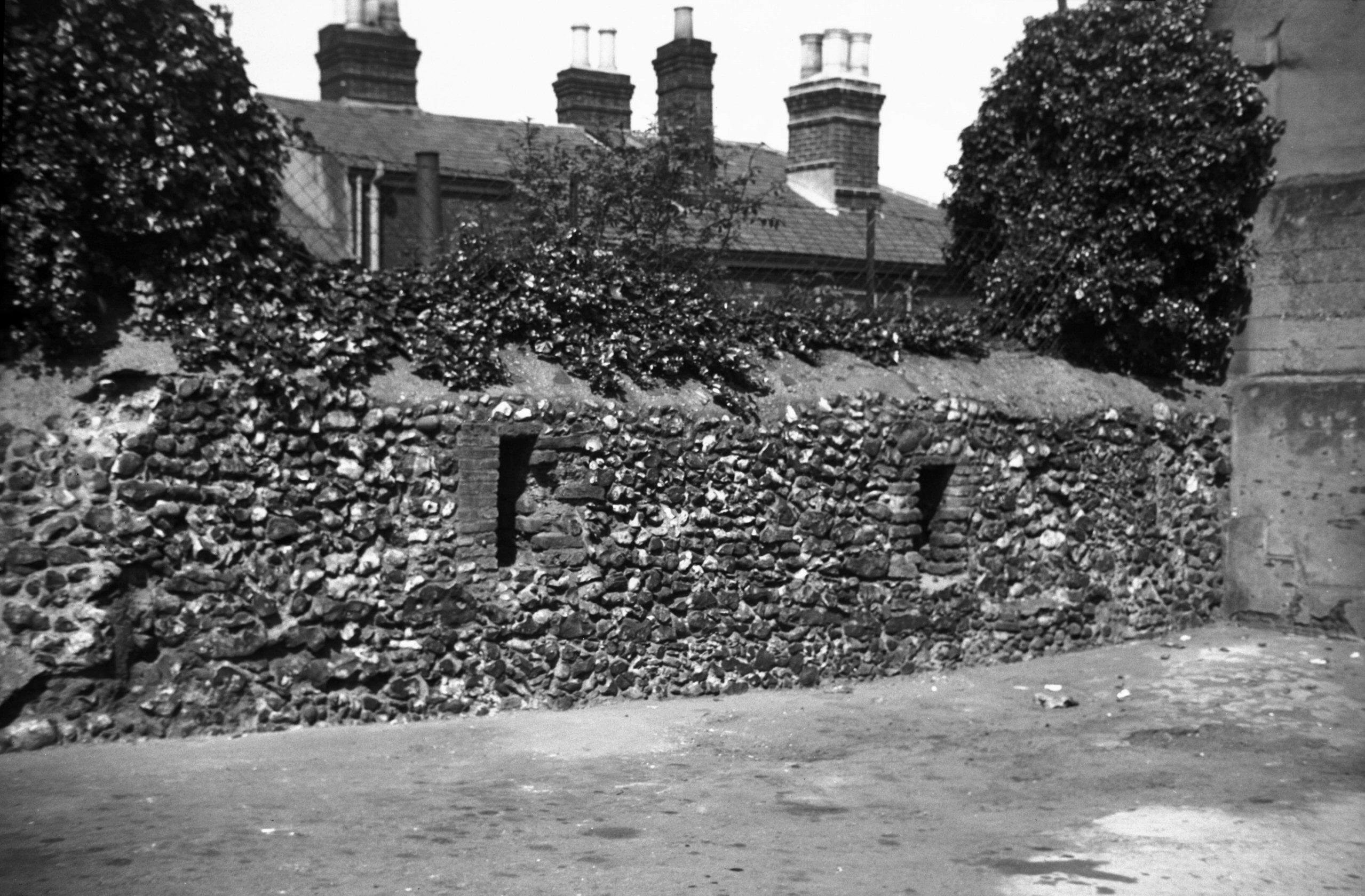
Queen's Rd tower from Queen's Rd [4806] 1964-08-11
One of two 14c gun ports visible. |
|
|
Queen's Rd tower brick vaulting [4890] 1965-04-16
|
|
|
Queen's Rd tower walls and brick vaulting [4889]
1965-04-16
|
|
|
Bull Lane north end wall view NW [3842] 1950-03-25
|
|
|
Caley's east tower from outside city [5307]
1970-08-29
|
|
|
Coburg St wall from inside city [B109] 1931-00-00
|
|
|
Chapel Field Rd south end from outside city [4397]
1955-09-26
|
|
|
Caley's east tower Coburg St inside city [6382]
1986-05-29
|
|
|
Caley's east tower Coburg St inside city [6617]
1990-07-03
|
|
|
Caley's east tower Coburg St inside city [4807]
1964-08-11
|
|
|
Caley's east tower Coburg St inside city [0382]
1935-03-03
|
|
|
Caley's west tower outside city from NW [5302]
1970-05-27
Exposed by demolition of attached houses 1969. |
|
|
Caley's west tower outside city from SW [5303]
1970-05-27
|
|
|
Caley's west tower in Chapel Field Rd 80 [0375]
1935-02-24
|
|
|
Caley's west tower in Chapel Field Rd 80 [0374]
1935-02-24
|
|
|
Caley's west tower from Way under the walls [6619]
1990-07-03
|
|
|
Caley's west tower interior [7358] 1996-07-07
|
|
|
Chapel Field Rd wall S of Chapel Field East [5280]
1969-09-05
|
|
|
Chapel Field Gardens wall from outside city [5282]
1969-09-12
Exposed by demolition of attached houses 1969. |
|
|
Chapel Field Gardens wall from inside city [0123]
1934-06-16
|
|
|
Chapel Field Gardens wall outside from NW [5283]
1969-09-12
|
|
|
Chapel Field Gardens wall outside from SW [5281]
1969-09-12
|
|
|
Chapel Field Rd wall from outside city [6616]
1990-06-16
After conservation. |
|
|
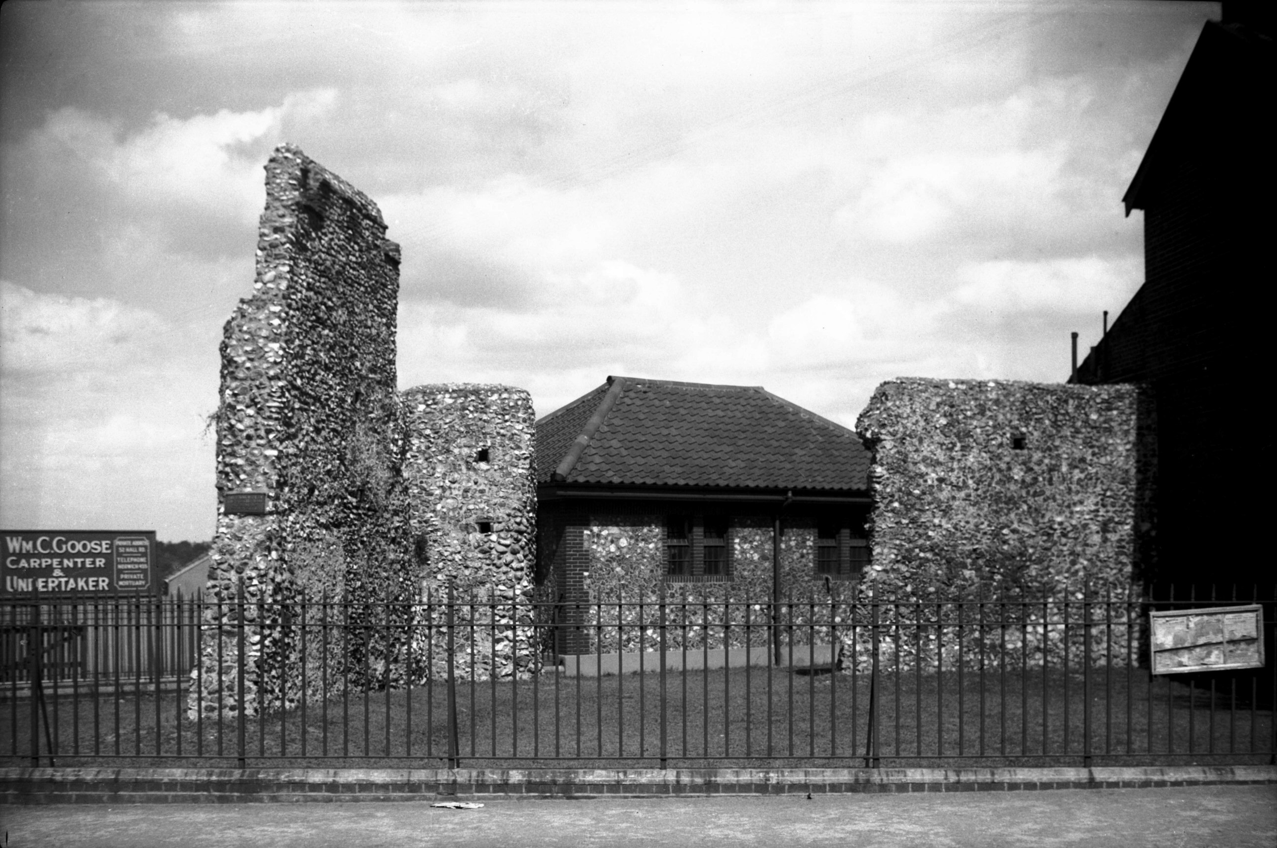
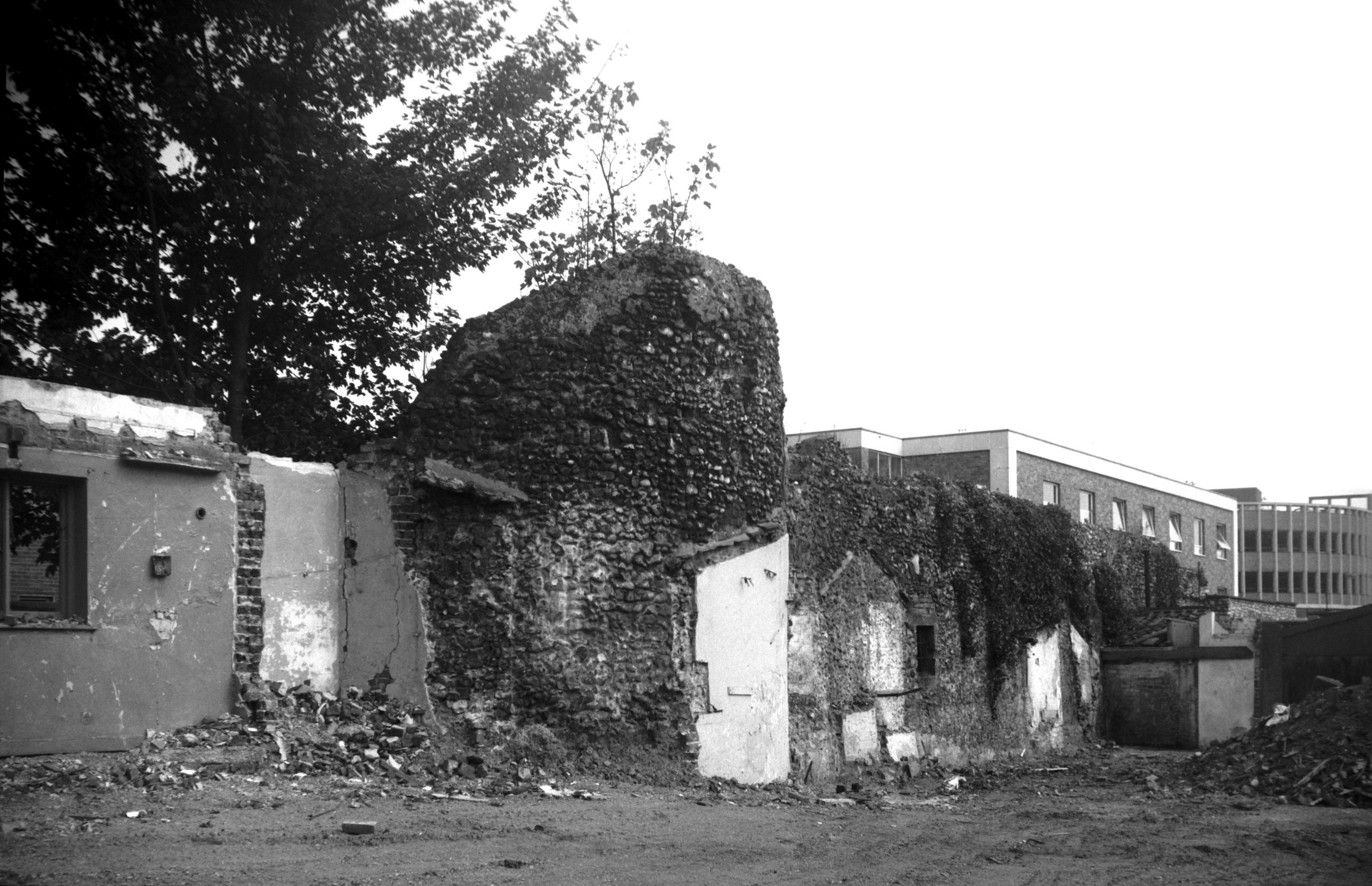
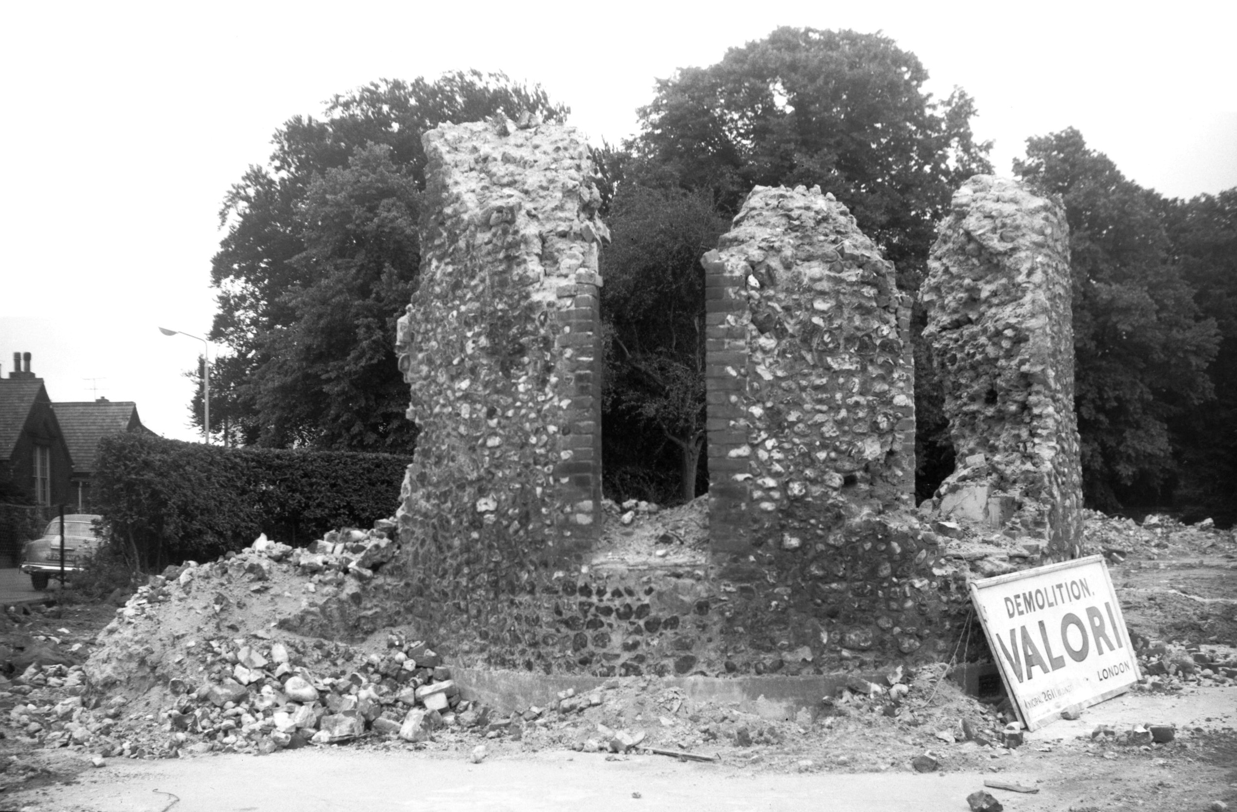
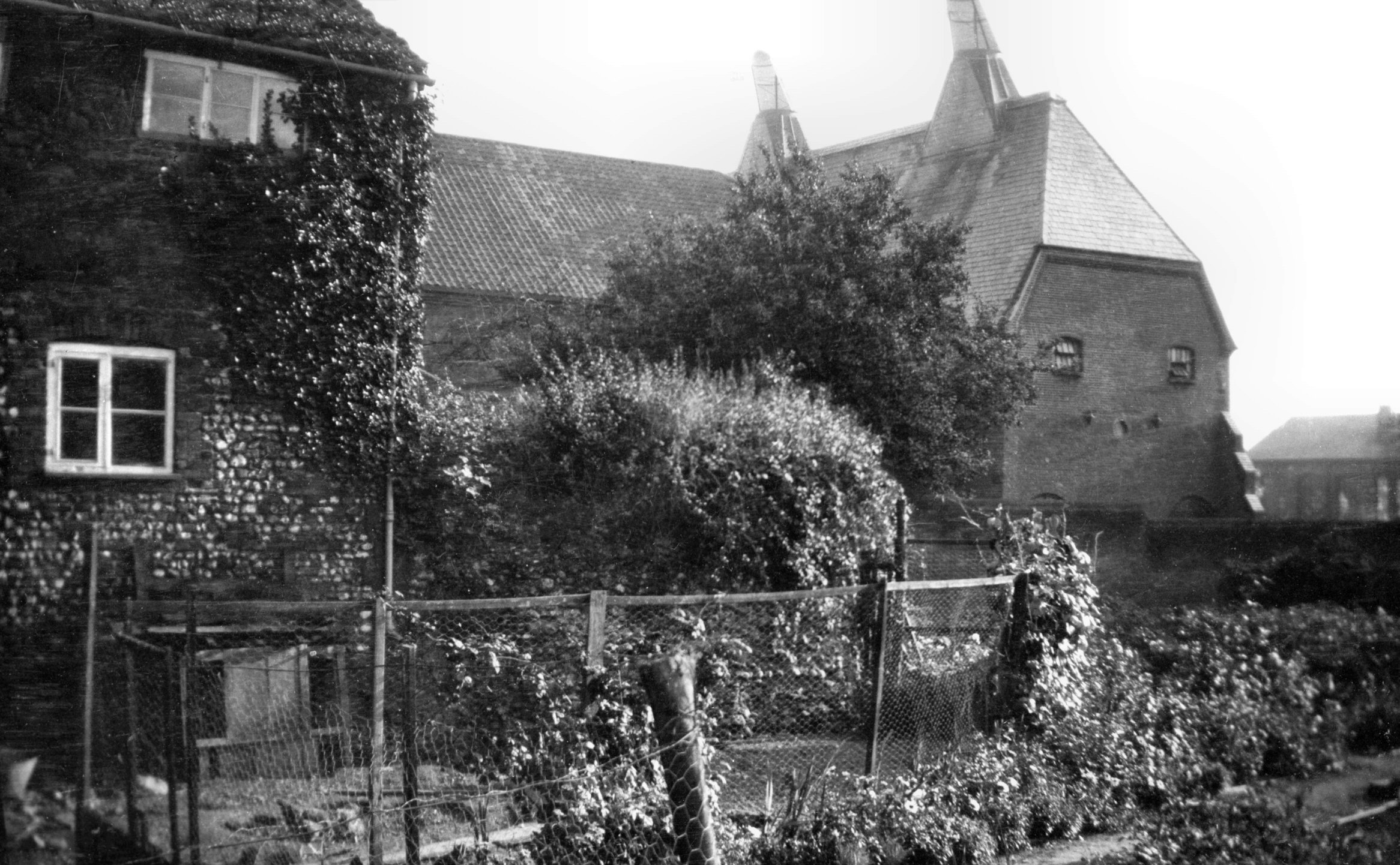
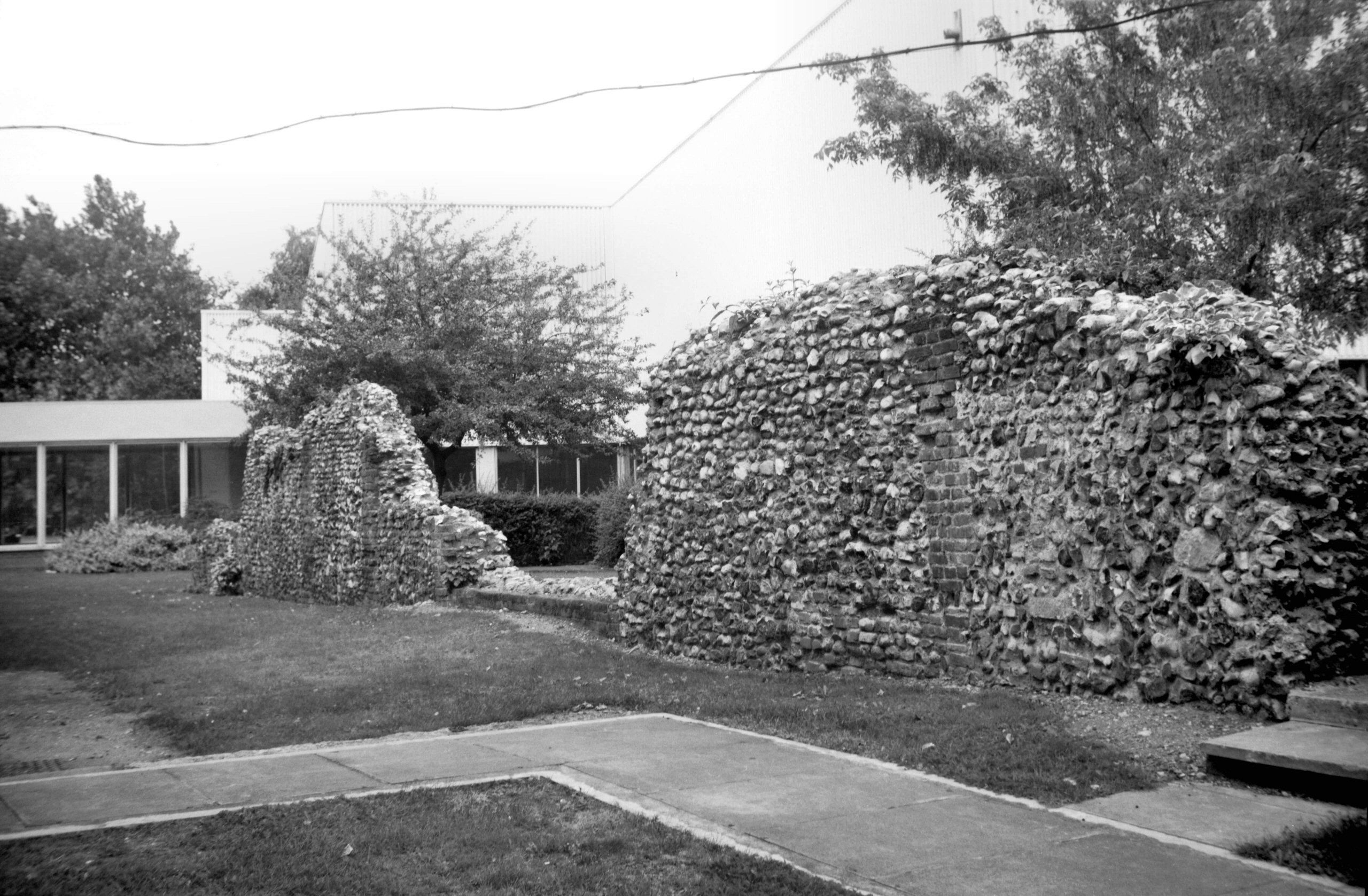
Drill Hall turret with remains of tower [B096]
1931-00-00
The Volunteer Drill Hall was opened October 1866,
architect the City Surveyor James Benest, builder William
Gilbert. It incorporated a fragment of one of the
semicircular towers. Demolished 1963. The site of the
tower is now marked by semicircle of cobbles in the
Chapel Field Rd roundabout. |
|
|
Chapel Field Gardens west side of tower [B091]
1931-00-00
|
|
|
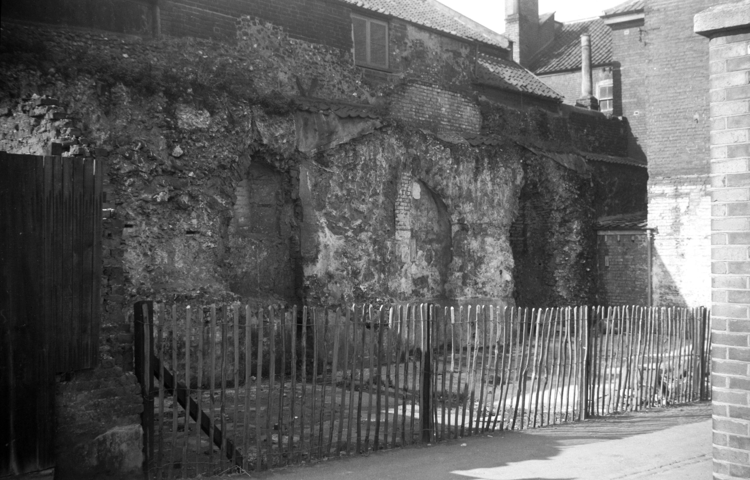
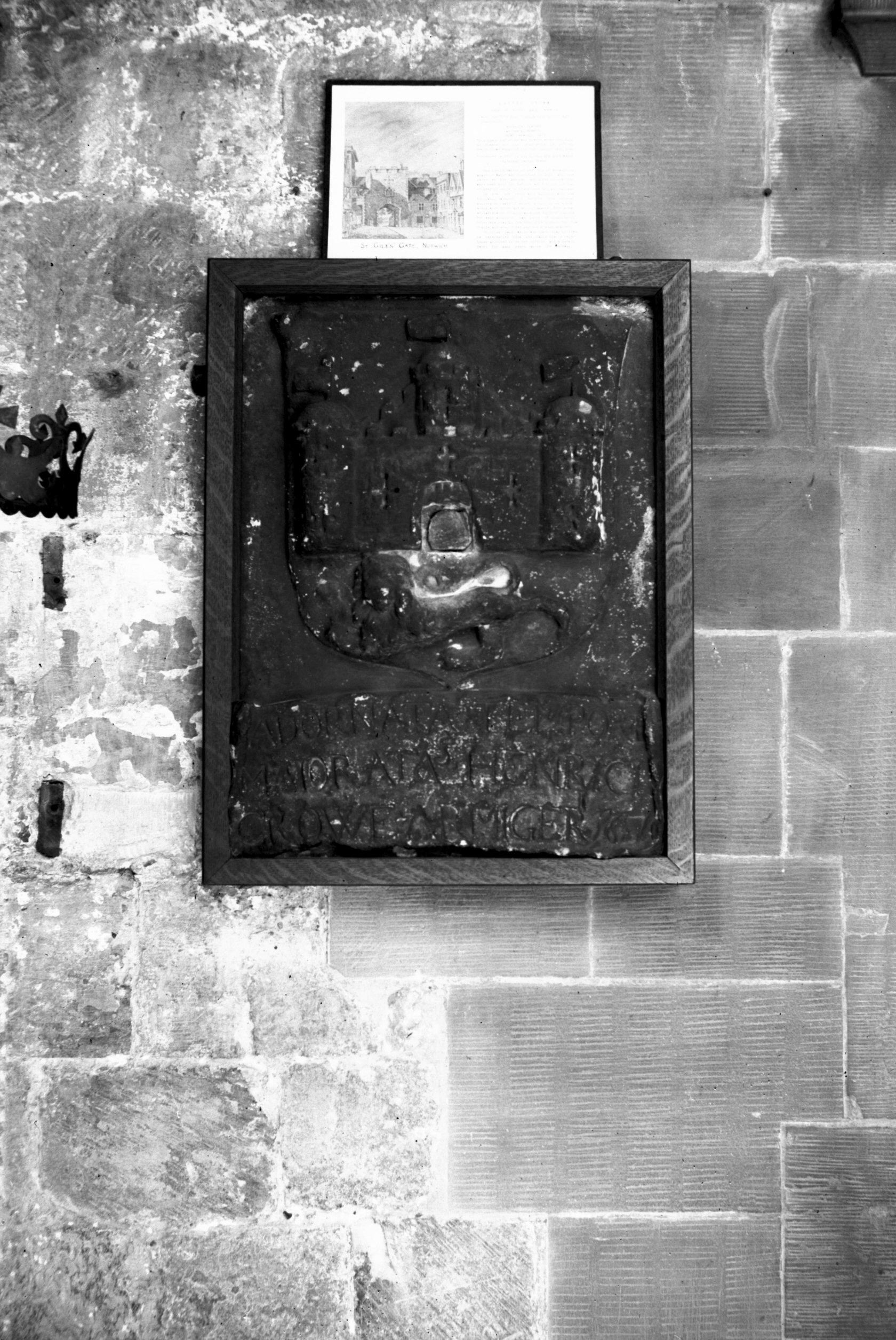
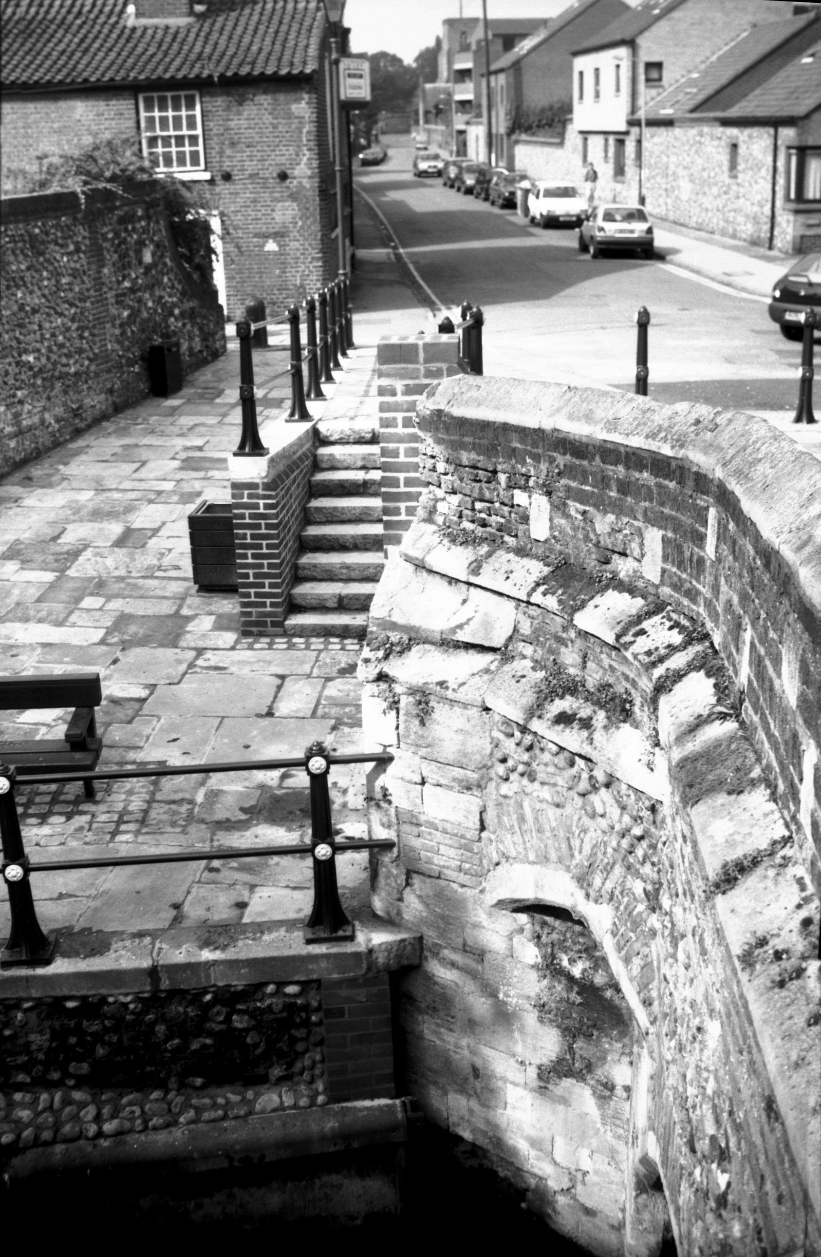
St Giles' Gate coat of arms [2361] 1938-04-23
Formerly on the west side of St Giles' Gate. Inscribed
"Adornata Tempore Maioraltis Henrici Crowe Armigeri
1679". Now in the Castle museum. |
|
|
Drill Hall tower demolition [4731] 1963-07-14
|
|
|
Drill Hall tower [2194] 1938-03-21
|
|
|
Upper Wellington Lane tower [2879] 1939-02-23
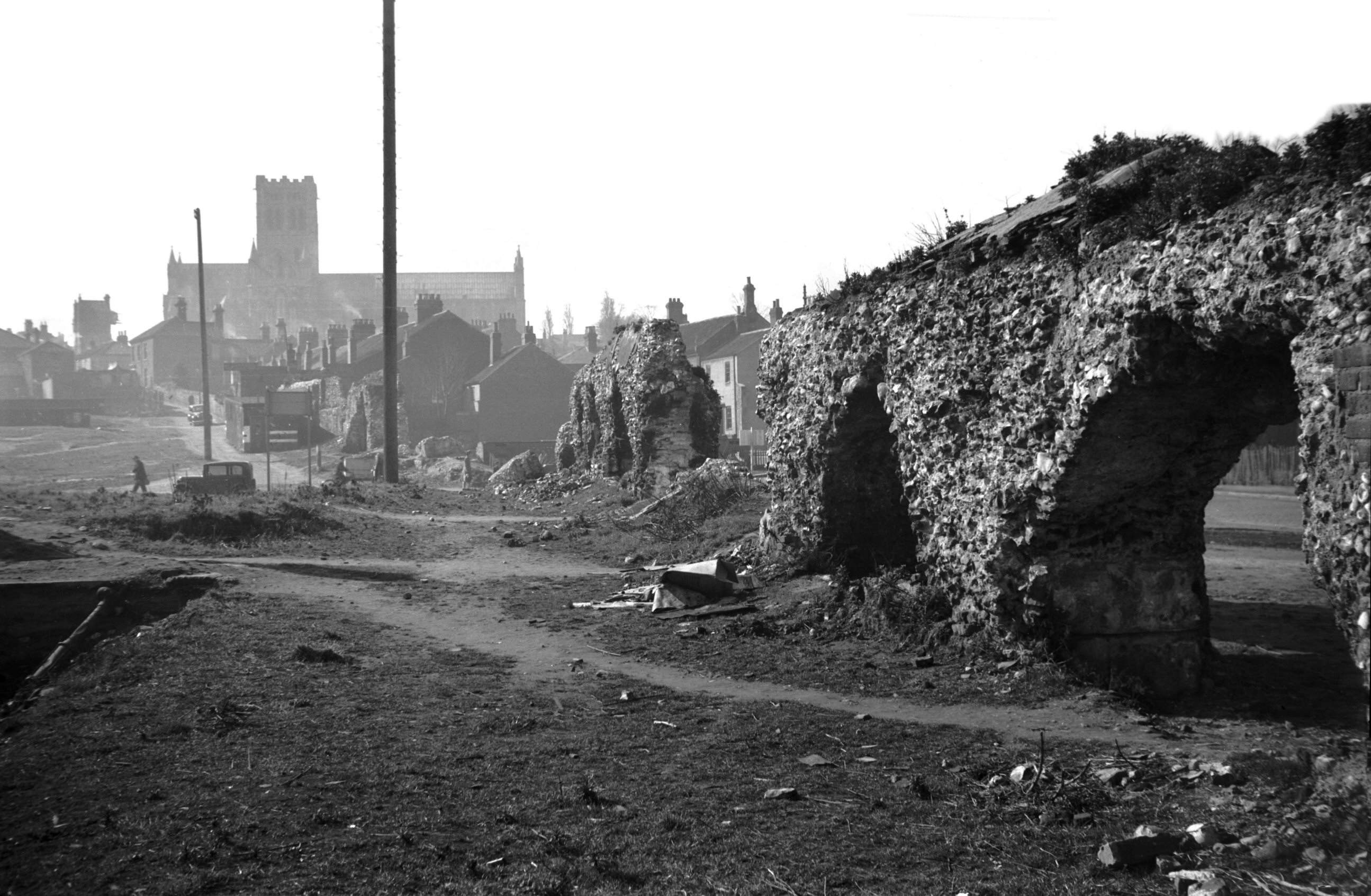
Although St Giles' Gate was pulled down in 1792, a long
section of the city wall remained to the north, forming
the backs of cottage on Wellington Lane. When these were
pulled down just before the Second World War, along with
two or three others backing on them near the top of
Grapes Hill, the lofty remains of one of the towers was
brought to light. This was square in plan, unlike the
others in the series, which were either round or
horseshoe shaped.
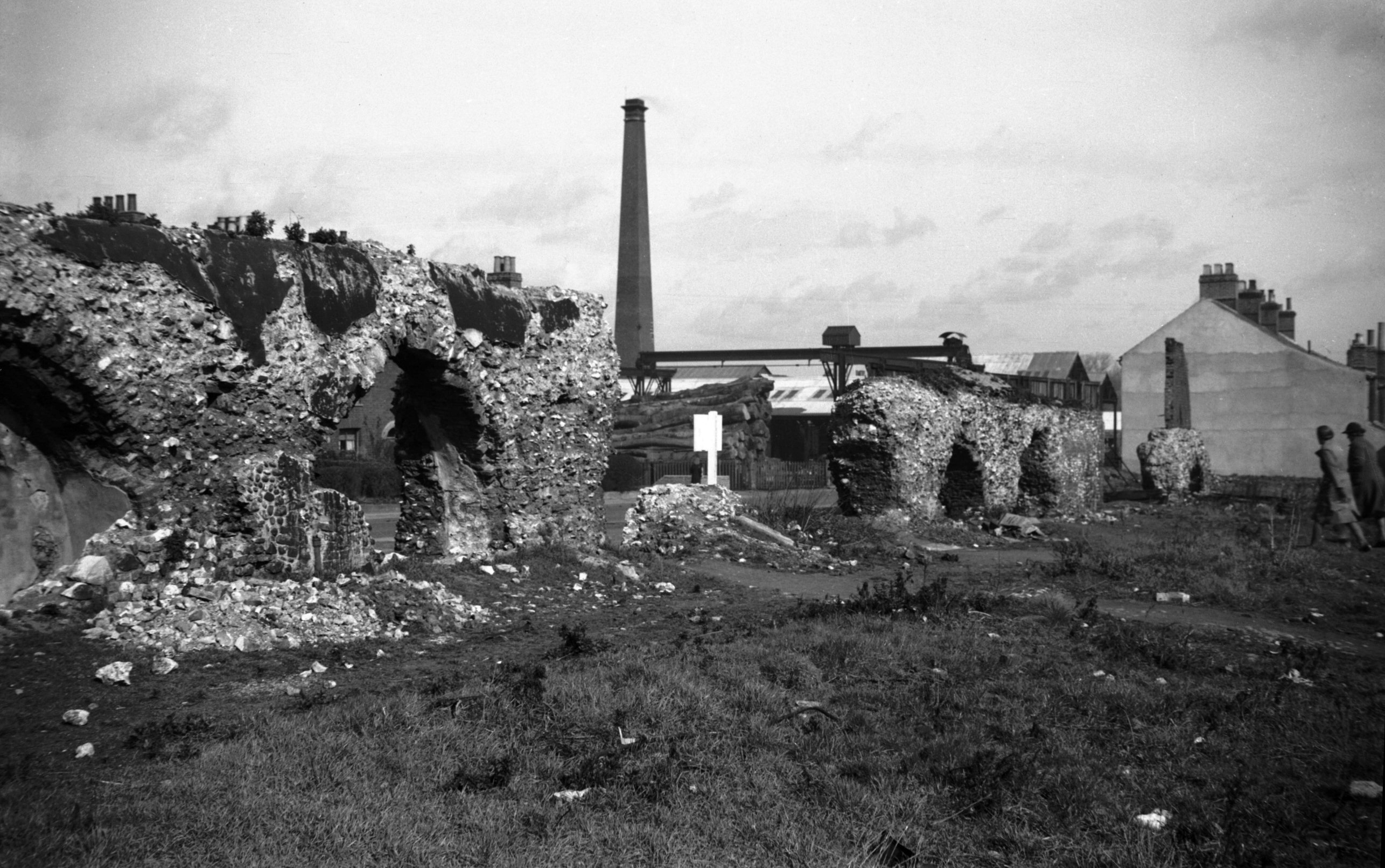
About the year 1711 the historian John Kirkpatrick wrote
an account of the walls as then existing, in which he
recorded that it was 50 paces "from St Giles' gate
to ye next tower, wch. is a new square tower, on it an
inscription". This inscription does not seem to have
been copied, but a chequered pattern of flint and stone
could be made out on the southern face of the tower.
Later reduced in height to a few feet only, this tower
and the adjoining wall as far as Pottergate were
completely cleared away when Grapes Hill was widened,
although its site (but not that of the tower) have since
been marked out with pebbles along the grass verge at the
side of the road. |
|
|
Upper Wellington Lane tower [3024] 1939-05-29
|
|
|
Upper Wellington Lane tower [2283] 1938-04-10
Small square tower possibly Tudor and unique for the
Norwich wall. |
|
|
Wellington Lane wall from inside city [3023]
1939-05-29
From south-east. |
|
|
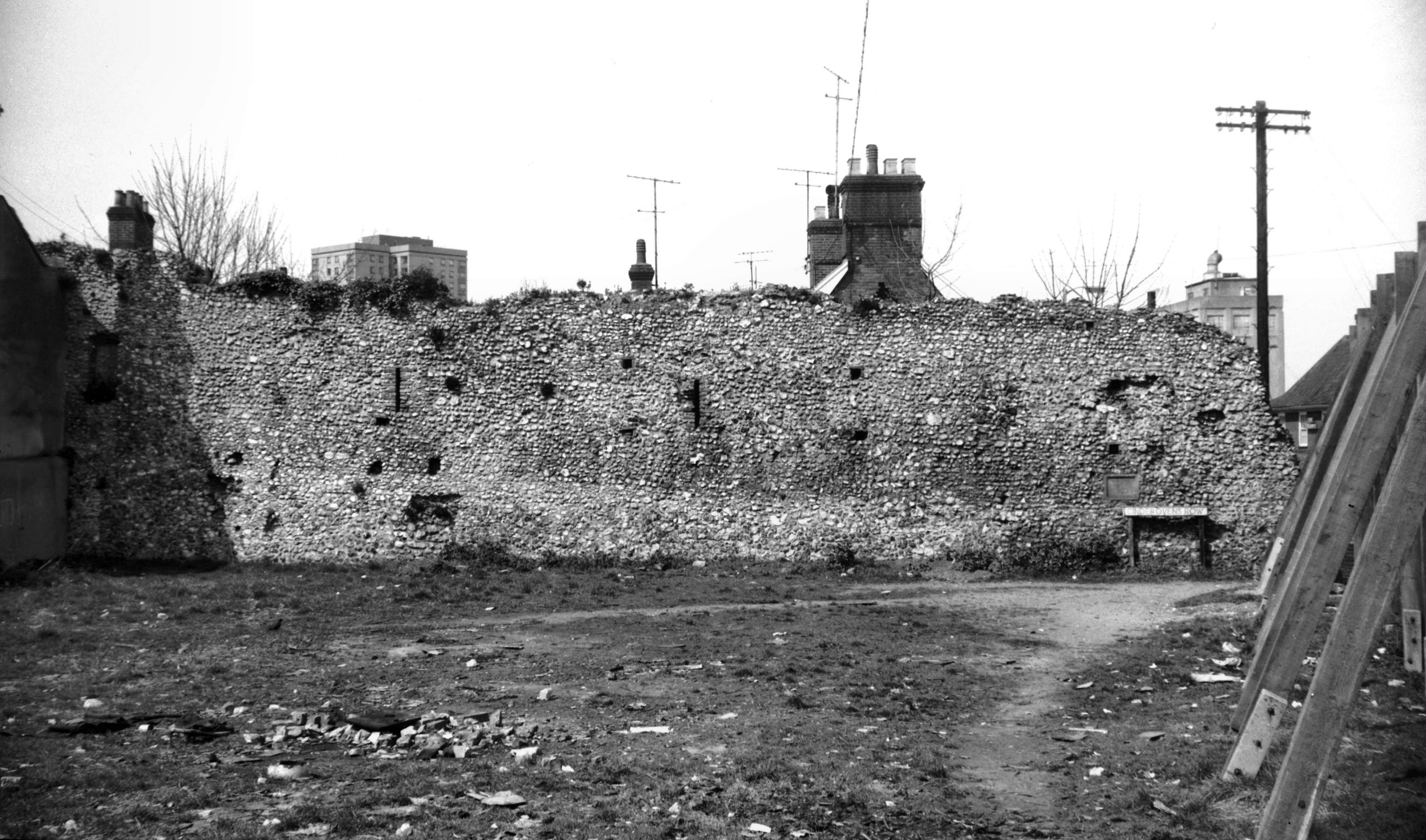
Grapes Hill 18 wall outside city view north [5291]
1970-02-08
Prior to demolition. |
|
|
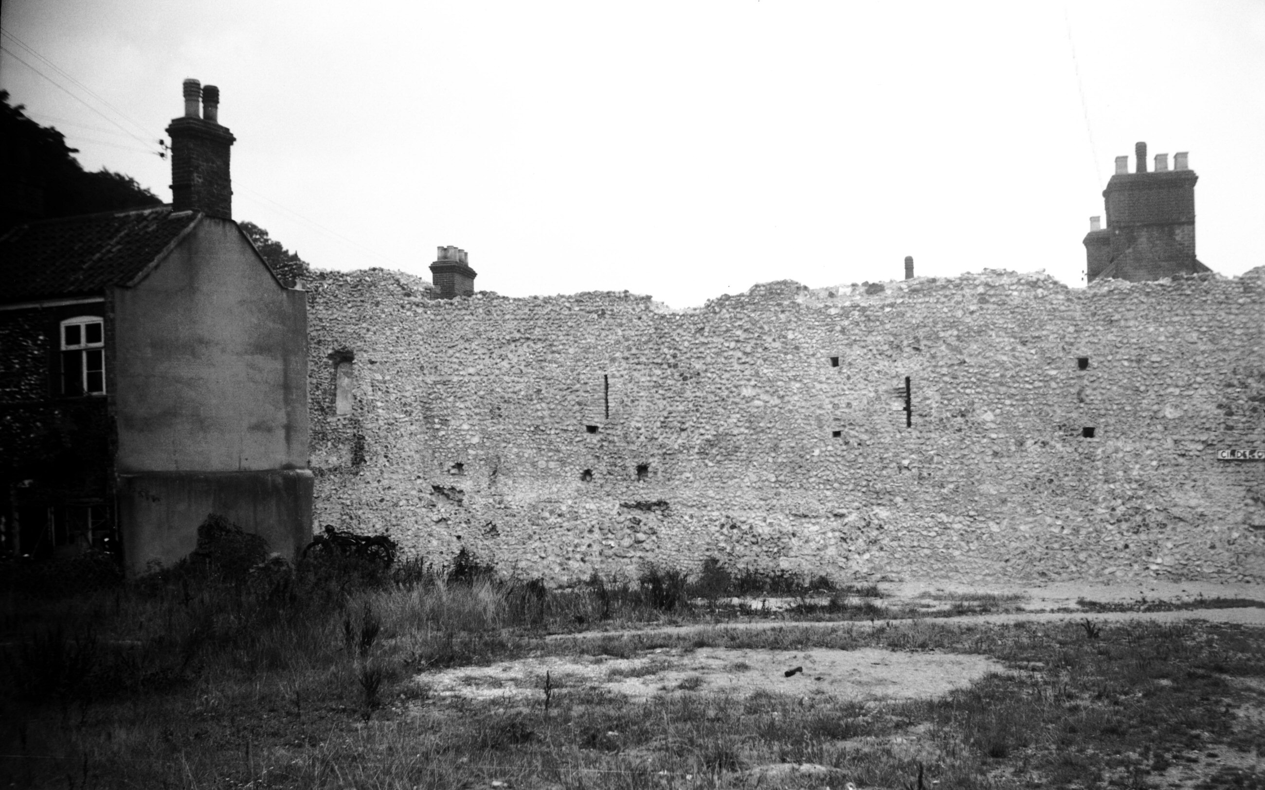
Grapes Hill 18 wall outside city view south [5292]
1970-02-08
|
|
|
Grapes Hill 20 wall outside city view south [5290]
1970-02-08
|
|
|
Grapes Hill upper wall outside city view NE [5299]
1970-03-19
Prior to demolition for Inner Link road. |
|
|
Wellington Lane wall with arrowslits [3025]
1939-05-29
Just south of Pottergate. See also Duck Lane. |
|
|
Wellington Lane wall from outside city [5289]
1970-02-08
Just south of Pottergate. |
|
|
Duck Lane arched recess [2280] 1938-04-10
Wellington Lane wall, known then as Duck Lane. |
|
|
Duck Lane wall from inside city [0106] 1934-05-27
Wellington Lane wall, known then as Duck Lane. |
|
|
Duck Lane wall from inside city view NW [3985]
1951-04-19
Wellington Lane wall, known then as Duck Lane. |
|
|
Duck Lane wall from outside city view NE [3987]
1951-04-19
Wellington Lane wall, known then as Duck Lane. |
|
|
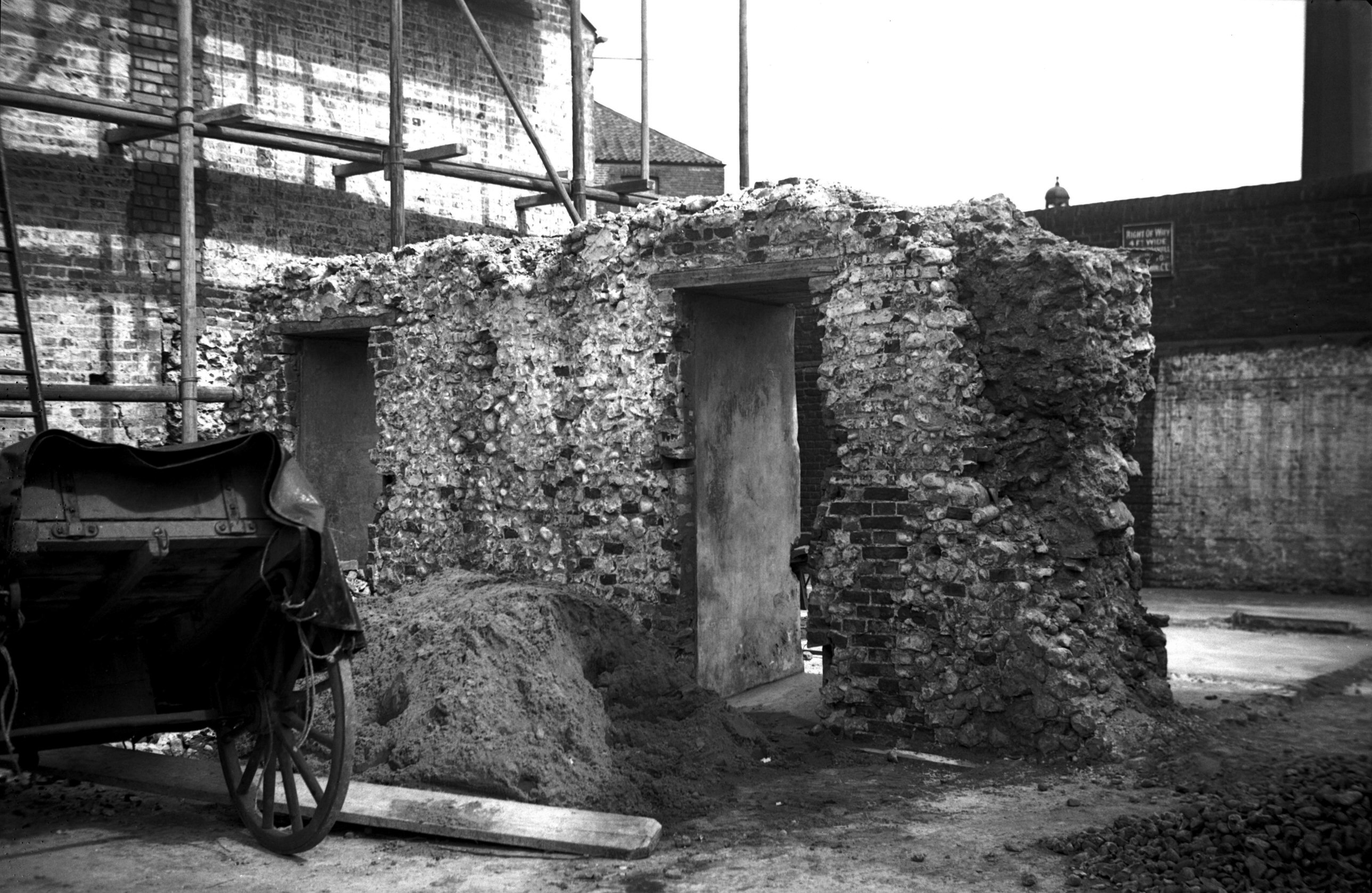
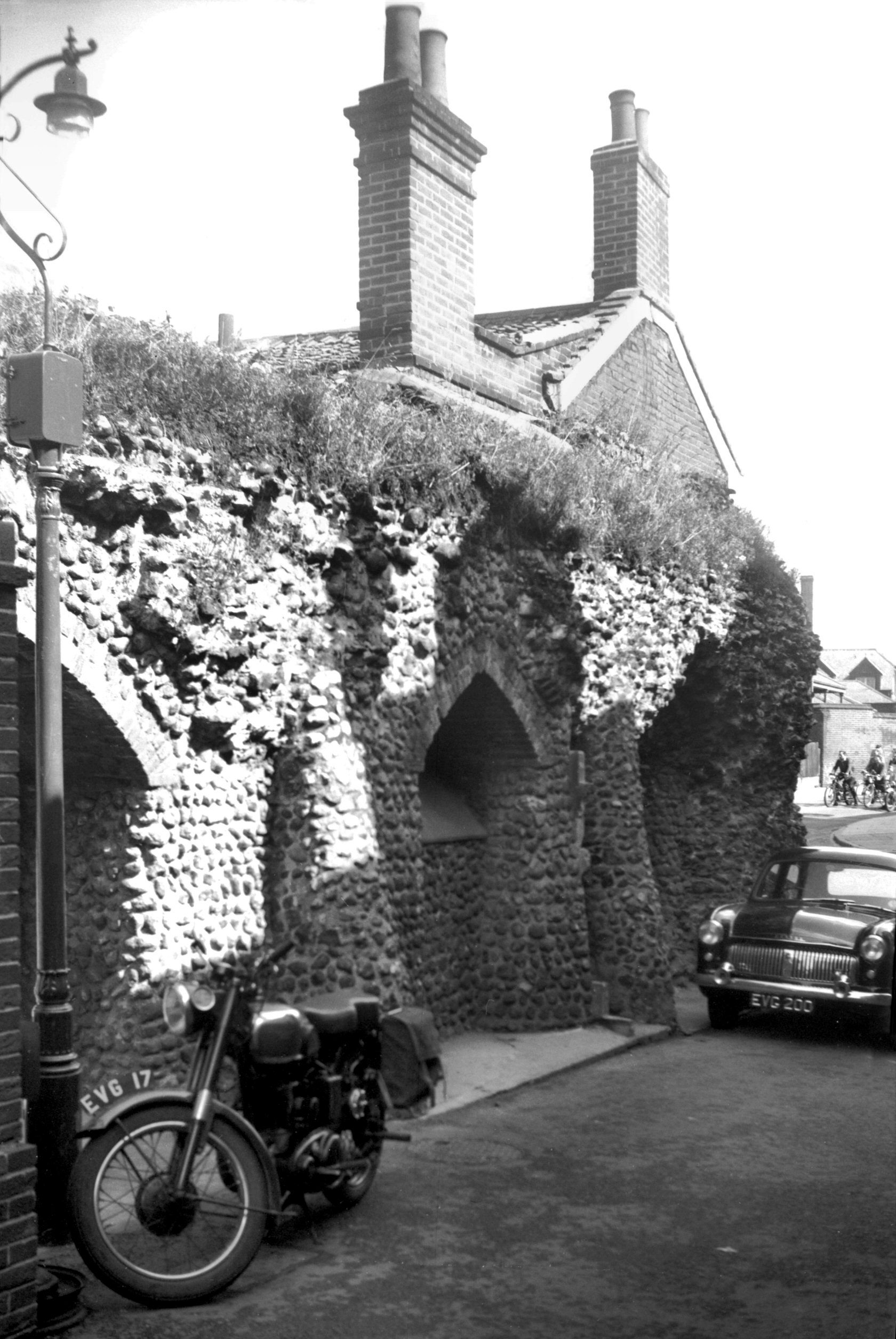
St Benedict's Gate abutment inside city [0107]
1934-05-27
A sketch of St Benedict's Gate made by the historian John
Kirkpatrick in 1720 recorded that it had a square tower
above the archway, which was of considerable width, with
a two-light pointed window overlooking the inner side and
the following inscription facing the west:
TEMPORE HENRICI WATTS
MAIORIS CIVITATIS NORWICI,
ANNO DOM'NI 1646
A watch turret adjoined to the south. All was demolished,
except for the south abutment, with one of the
hinge-pins, in 1793.
The brick-arched opening in the photograph is not to be
confused with the gate, for this was pierced through the
wall in 1930 when some decrepit property adjoining to the
west was pulled down. Thus, not only was the wall shown
off to much better advantage but it was also possible to
widen the carriageway by setting back the footpath. |
|
|
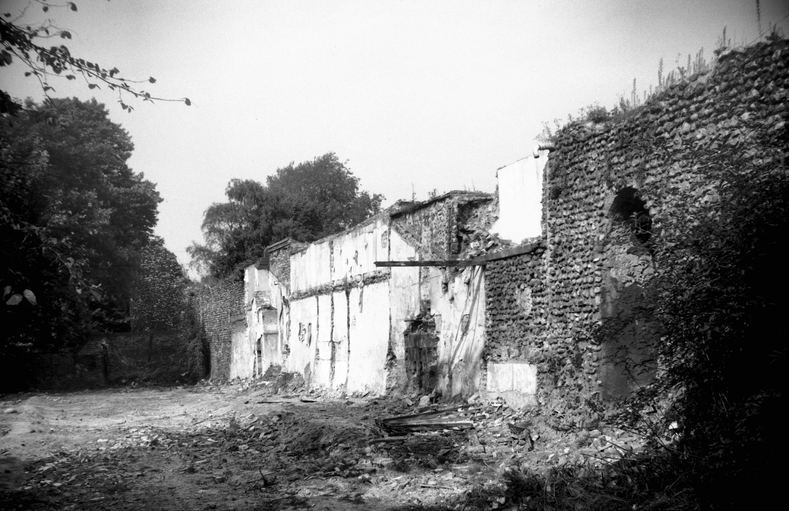
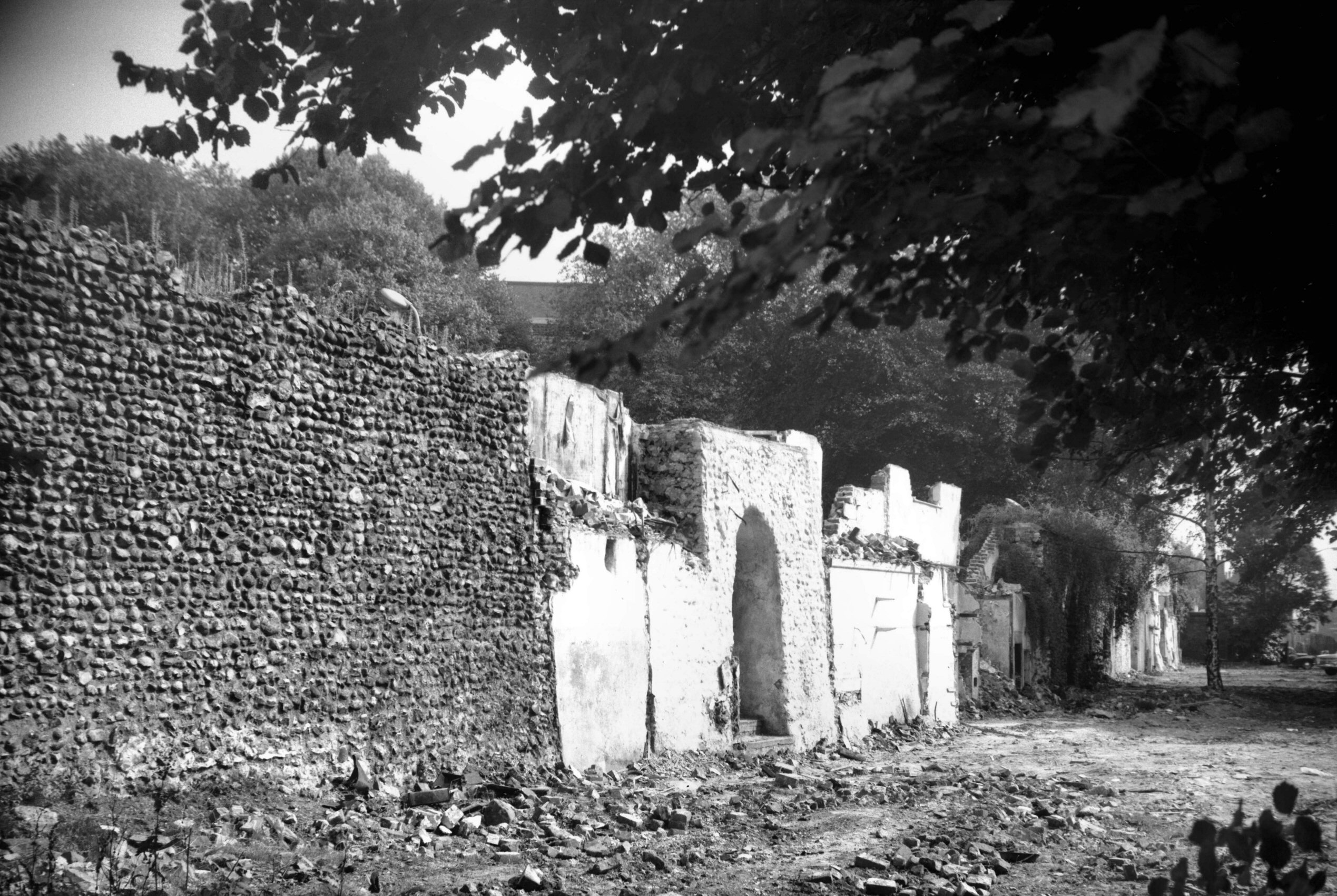
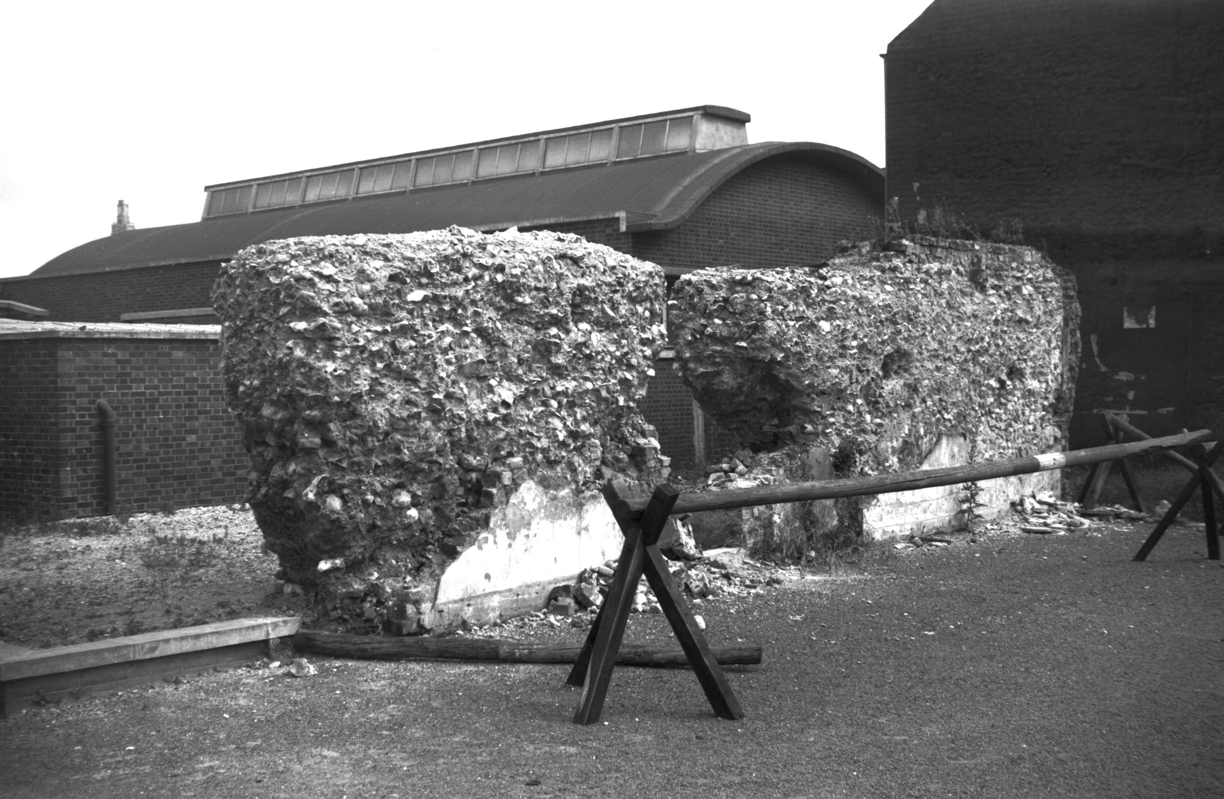
St Benedict's Gate site south side view E [0015]
1934-01-21
In the raid of April 1942, all the wall shown in the
photograph was blown down, but the gatehouse abutment
still stood, albeit considerably cracked and out of true,
on the very edge of a large bomb crater. Because of its
condition it was later entirely cleared away, and so the
last remnant of the gates belonging to the city's
fortifications was destroyed as a result of enemy action. |
|
|
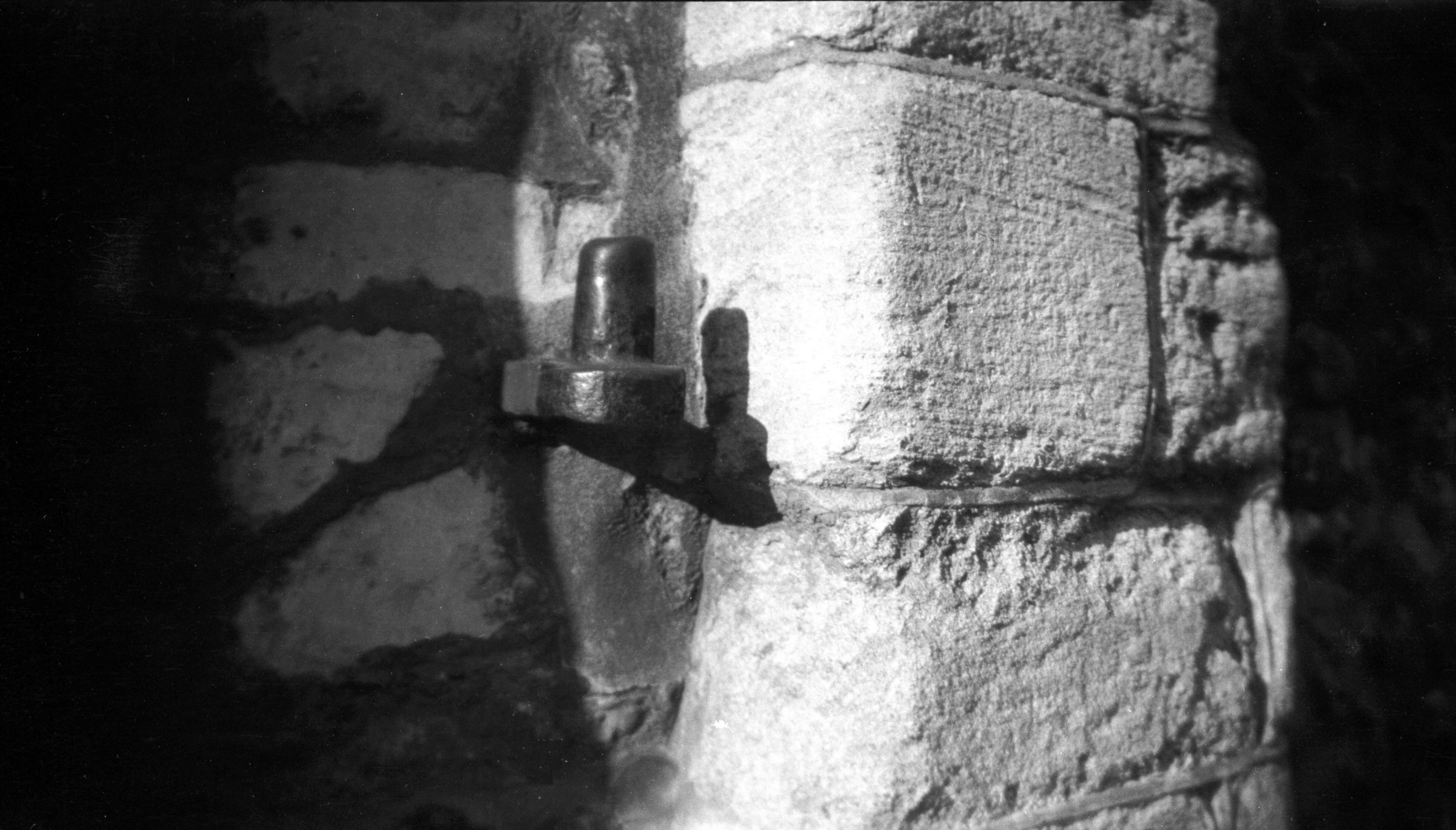
St Benedict's Gate iron hinge pin [B110] 1931-00-00
On south abutment of gate. |
|
|
St Benedict's Back Lane from inside city [0108]
1934-05-27
Mutilated portions of wall incorporated in houses on west
side of St Benedict's Back Lane which ran north from 89
St Benedict's St. View north. |
|
|
Barn Rd wall from inside city view NW [4759]
1964-04-18
From the site of St Benedict's Back Lane. |
|
|
Barn Rd wall exposed by war view SW [3605] 1946-03-23
From the site of St Benedict's Back Lane. |
|
|
Barn Rd wall exposed by war view NW [3606] 1946-03-23
From the site of St Benedict's Back Lane. |
|
|
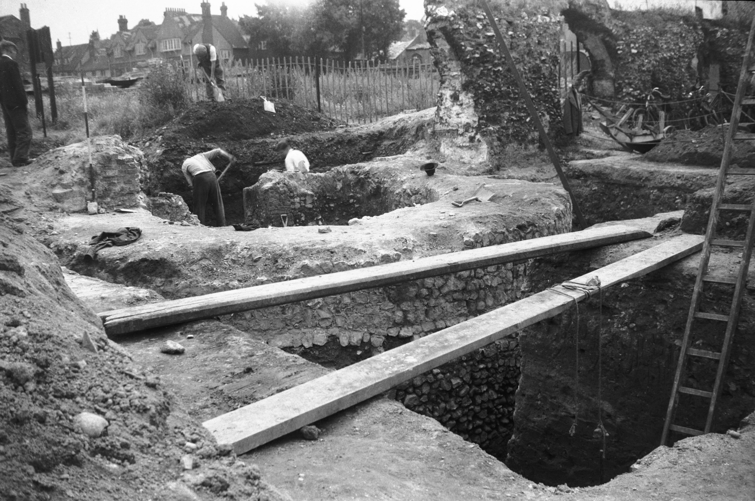
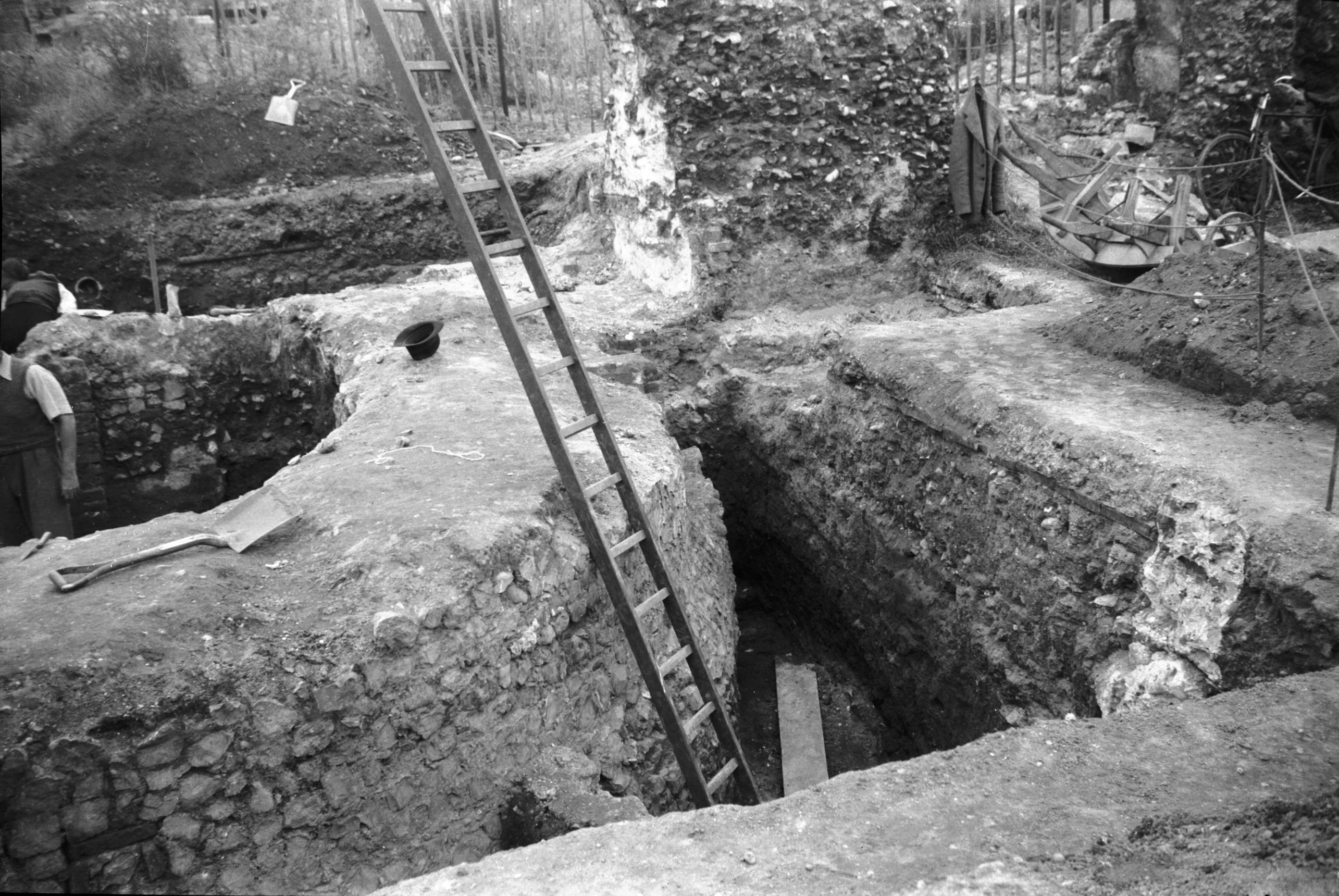
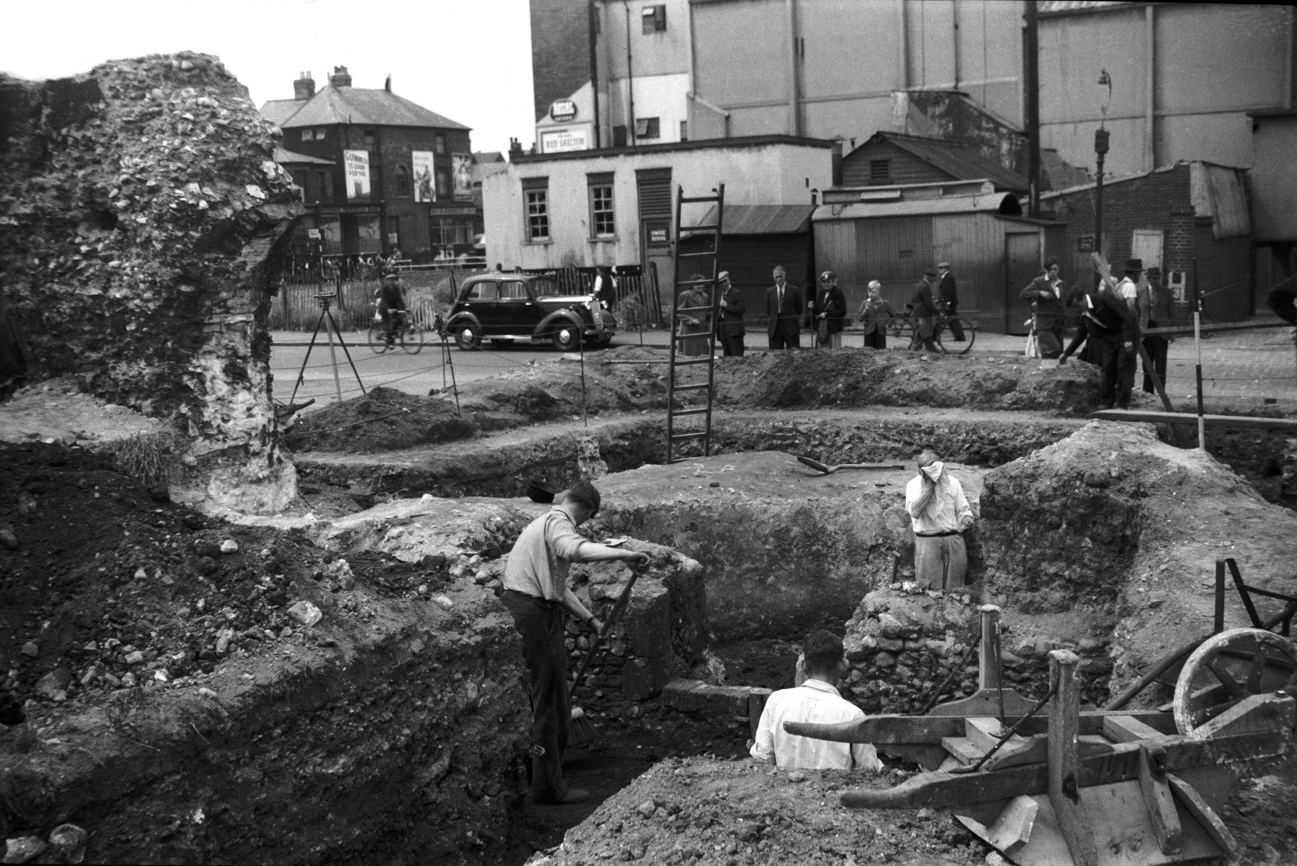
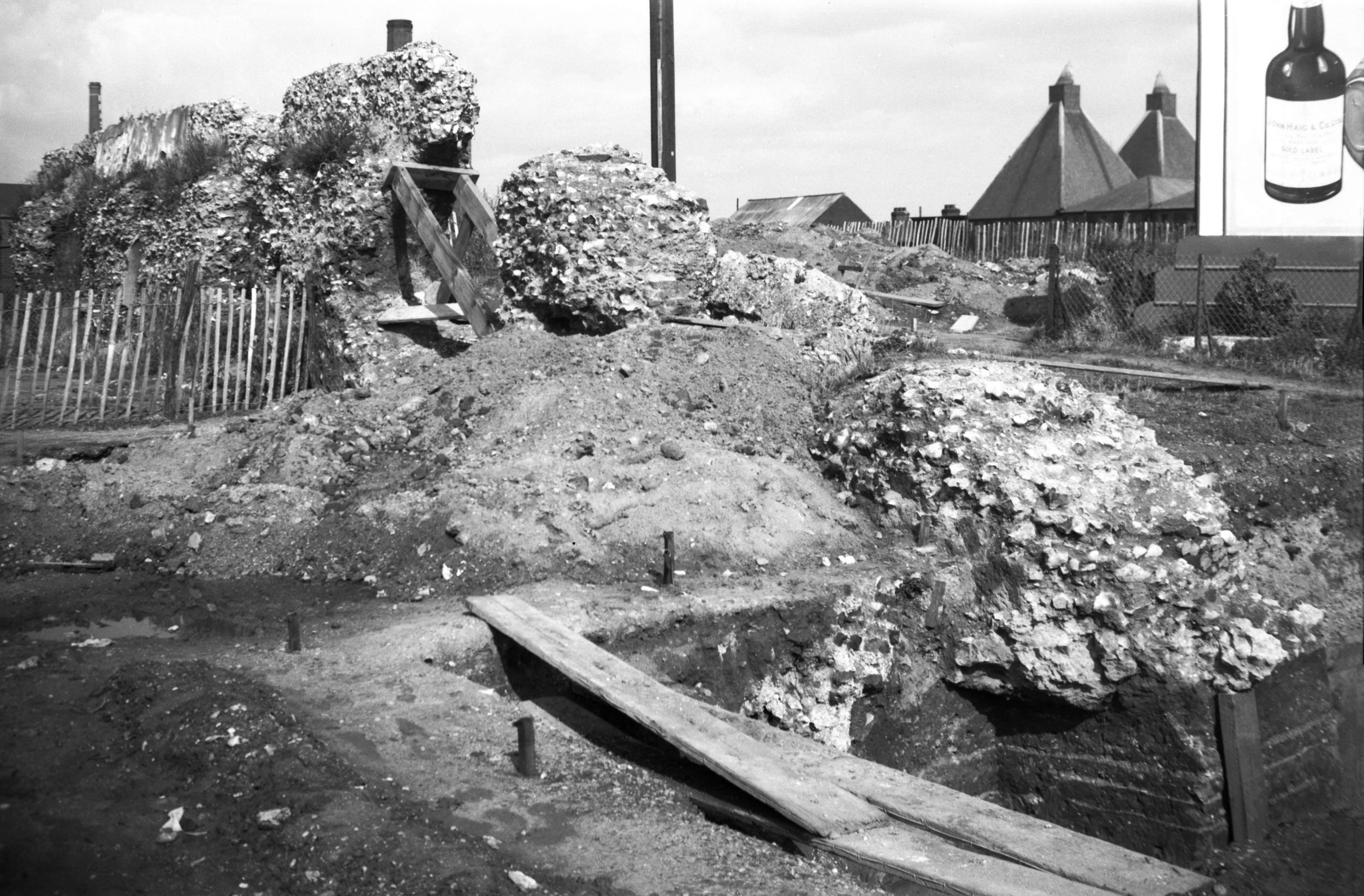
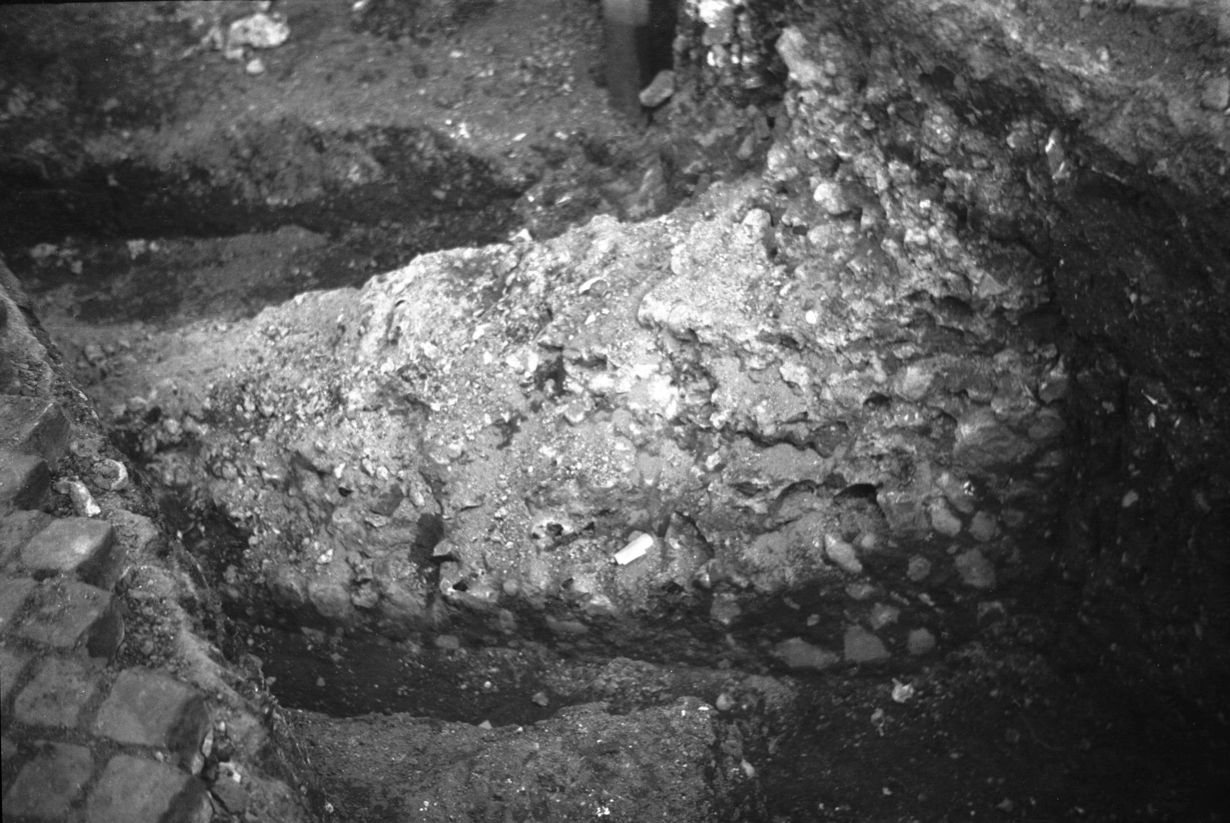
Barn Rd tower excavations [3698] 1948-08-06
The original flint facing of the tower revealed.
Excavations 1948-53. |
|
|
Barn Rd tower excavations outer ditch [3700]
1948-08-06
|
|
|
Barn Rd tower excavations threshold [3699] 1948-08-06
Threshold of tower entrance. |
|
|
Barn Rd tower excavations wall to north [4208]
1953-08-30
Wall fragments north of tower. |
|
|
Barn Rd wall fragment [2284] 1938-04-10
Fragment formerly embedded in terrace houses. |
|
|
Barn Rd wall fragment [4272] 1954-06-27
Fragment formerly embedded in terrace houses. The apex of
the arched recess was originally 8-10 feet high but is
now only 3 feet above ground level showing the extent to
which this marshy ground has been built up. |
|
|
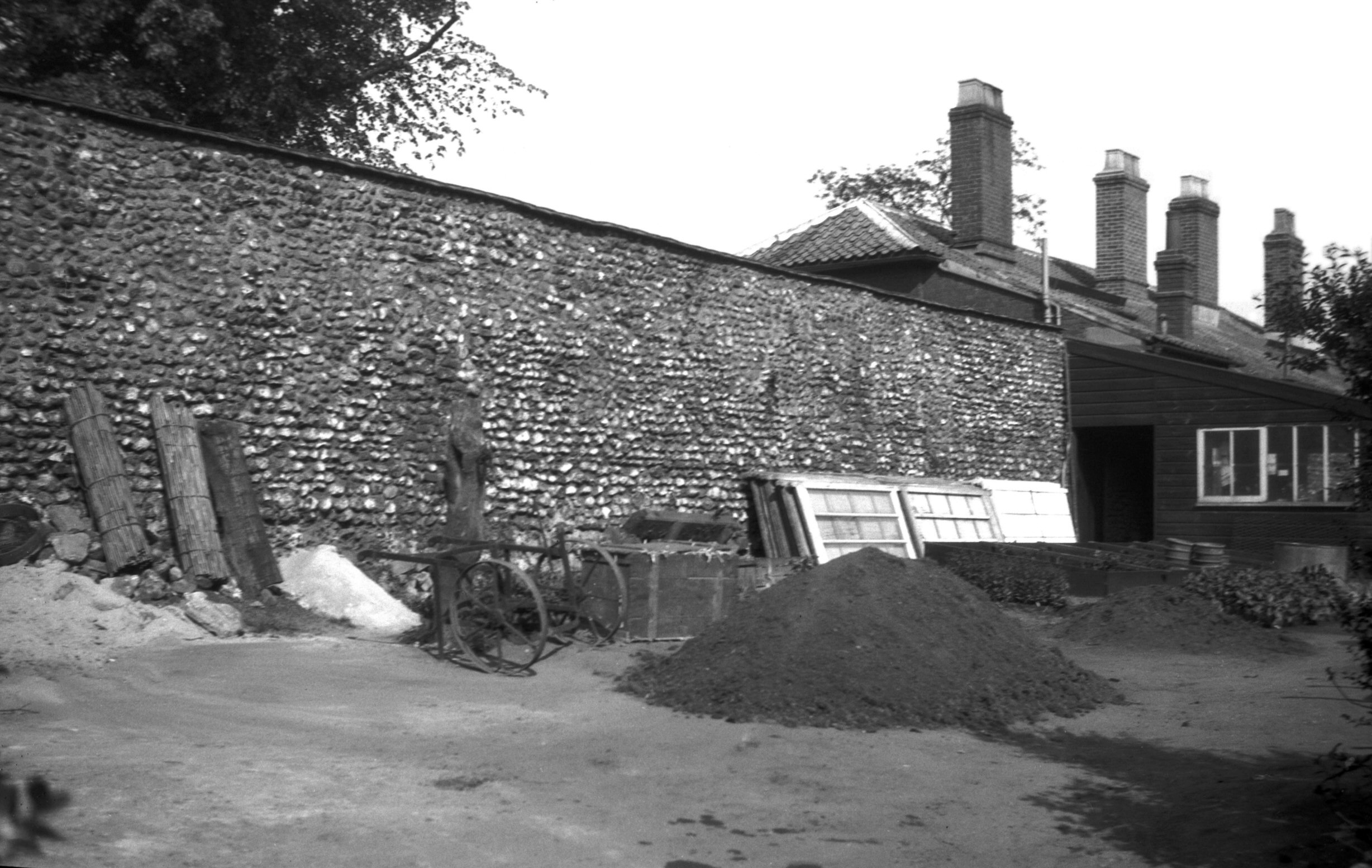
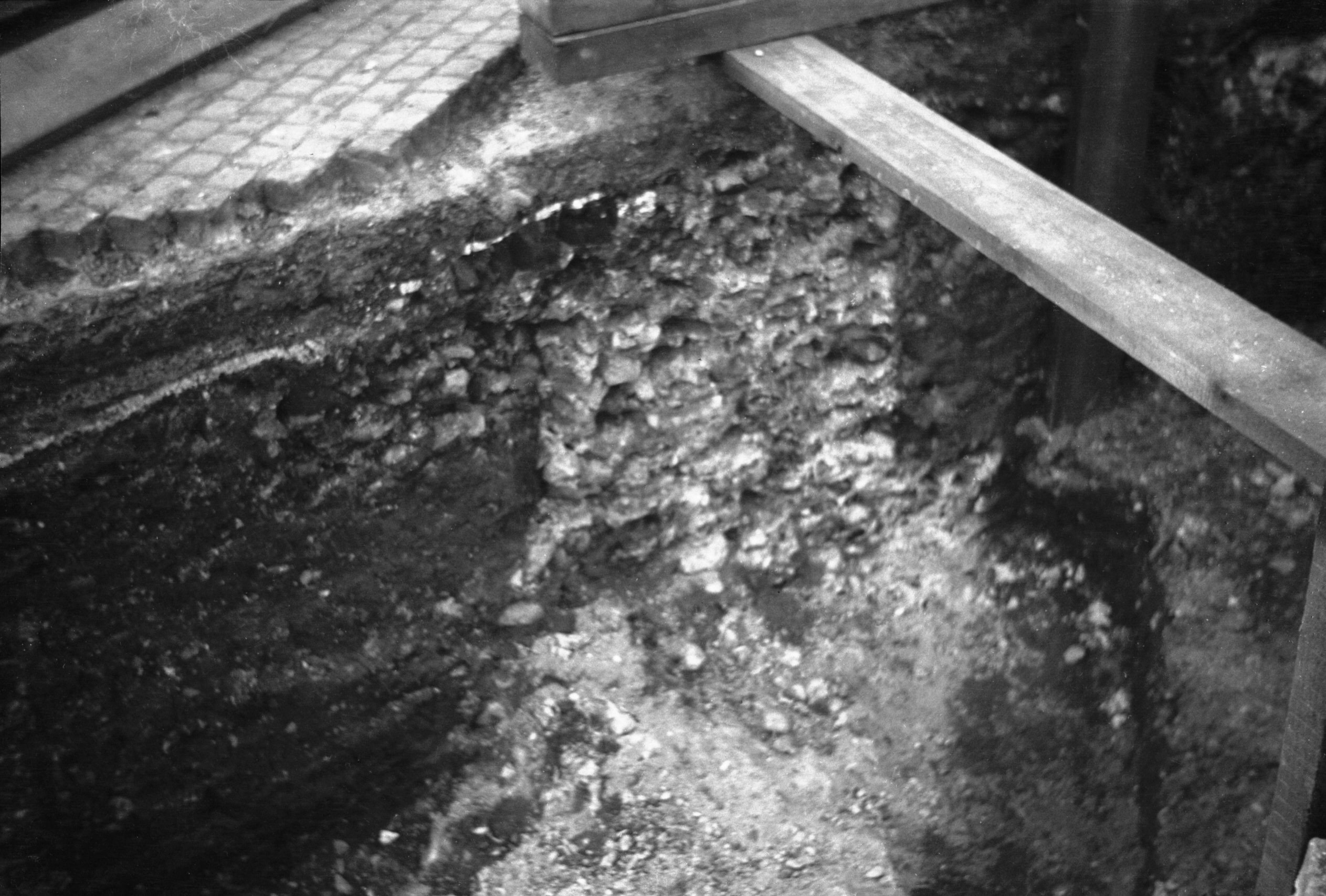
Westwick St wall excavated foundations 1 [0581]
1935-05-17
Wall foundations exposed opposite the corporation depot
by a drainage scheme trench 1935. |
|
|
Westwick St wall excavated foundations 2 [0582]
1935-05-17
|
|
|
Oak St 167 tower behind Dun Cow PH [B097] 1931-00-00
Remains of round terminal tower. |
|
|
Oak St 167 tower behind Dun Cow PH view SW [0575]
1935-05-11
|
|
|
Oak St 167 tower behind Dun Cow PH [6233] 1982-07-05
|
|
|
St Martin at Oak Wall Lane view north [0023]
1934-01-28
|
|
|
St Martin at Oak Wall Lane from inside city [6387]
1986-06-19
|
|
|
Bakers Rd wall from outside city [2799] 1938-09-10
|
|
|
St Augustine's St Catherine Wheel Opening [6219]
1981-08-04
|
|
|
St Augustine's St Catherine Wheel Opening [0109]
1934-05-27
|
|
|
Magdalen Gate west wall from outside city [5934]
1978-07-29
|
|
|
Magdalen Gate west wall from outside city [5045]
1966-05-15
|
|
|
Magdalen Gate west wall from outside city [5933]
1978-07-29
The opening is modern for the use of pedestrians. |
|
|
Magdalen Gate west wall from Wall Lane [4380]
1955-09-09
|
|
|
Magdalen Gate west wall from Wall Lane [0746]
1935-09-08
Inside. Crudely restored arched recesses. |
|
|
North east corner tower wall adjoining [6047]
1979-08-31
|
|
|
North east corner tower wall adjoining [0765]
1935-10-17
|
|
|
North east corner tower Bull Close Rd [0768]
1935-10-17
The only tower to retain its top vaulting. |
|
|
North east corner tower Bull Close Rd [5301]
1970-05-27
|
|
|
North east corner tower Bull Close Rd [6001]
1979-04-15
|
|
|
North east corner tower Bull Close Rd [0764]
1935-10-17
|
|
|
North east corner tower Bull Close Rd [0763]
1935-10-17
|
|
|
North east corner tower from Wall Lane [B098]
1931-00-00
|
|
|
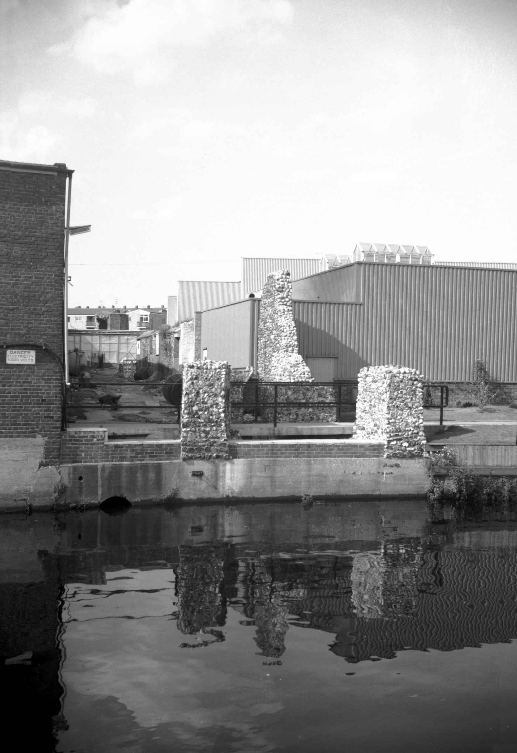
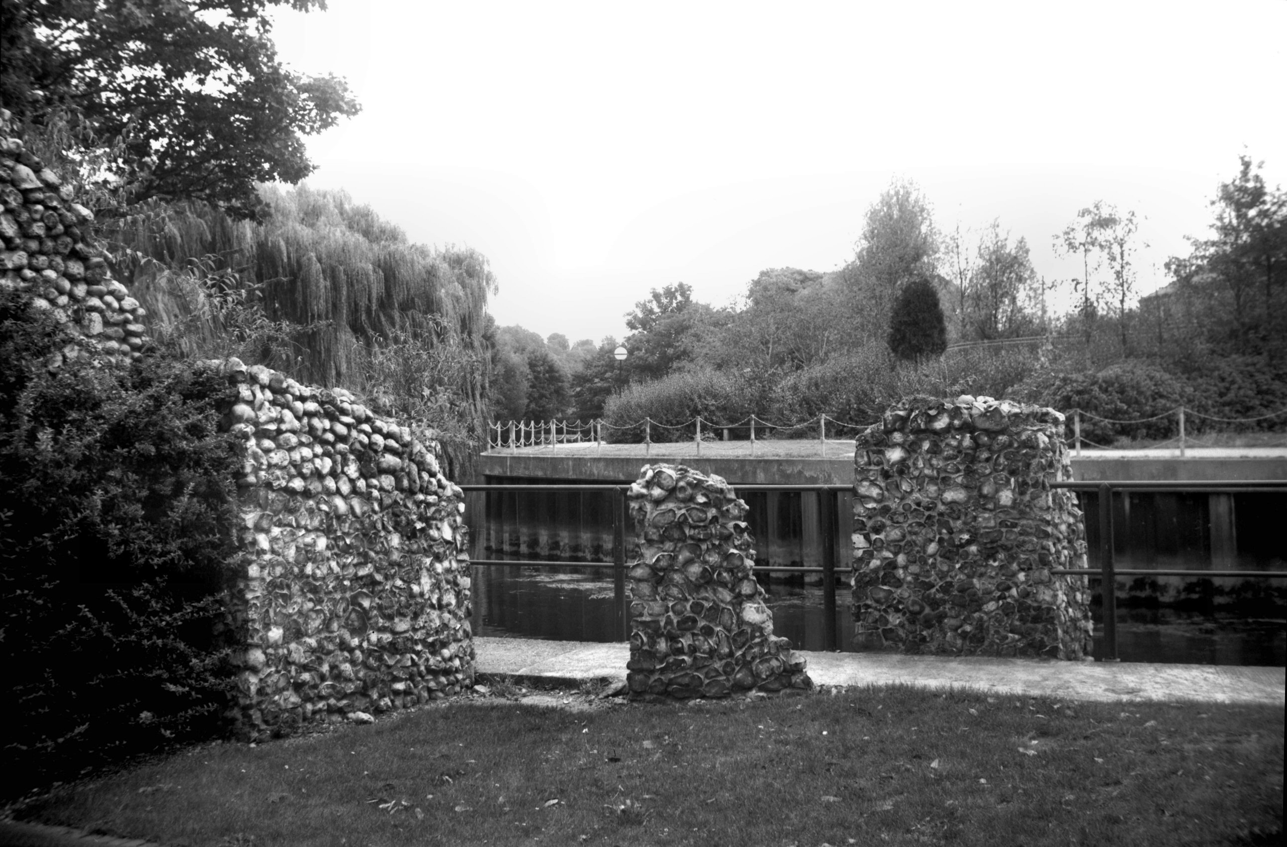
Barrack St wall near river from inside city [7498]
1997-09-23
Between Jarrold's printing works and the river. Formerly
River Lane. |
|
|
Barrack St River Lane tower fragments [5377]
1974-08-18
|
|
|
Barrack St tower fragments by river [7497] 1997-09-23
Much of the tower on the north bank of the Wensum was
destroyed when the river bank was restored. |
|
|
Cow Tower view north from E bank of Wensum [0011]
1934-01-09
Originally used by the Cathedral Priory as a prison and
for the collection of river tolls, it was conveyed to the
City in 1378 and rebuilt in 1399 as part of the defences.
Long believed to have been constructed entirely of brick
except for the stone foundations, however a survey in
1985-6 showed it to be of flint with brick facing. |
|
|
Cow Tower from east illuminated [6747] 1991-11-08
|
|
|
Cow Tower NE side [B092] 1931-00-00
|
|
|
Cow Tower south side [3769] 1949-04-29
|
|
|
Cow Tower south side [B093] 1931-00-00
|
|
|
Cow Tower Hospital Meadow General's Buildgs [B596]
1933-06-24
|
|
|
Cow Tower flint and stone foundation [4918]
1965-08-07
|
|
|
Cow Tower interior east side [4917] 1965-08-07
|
|
|
Bishop Bridge gatehouse turret excavations [7540]
1998-03-24
|
|
|
Bishop Bridge gatehouse turret wall base [7551]
1998-06-21
|
|
|
Bishop Bridge gatehouse turret base angle [7572]
1998-09-06
|
|
|
Bishop Bridge gatehouse SE turret base [7707]
1999-10-31
A gatehouse stood over the western arch of the bridge
until 1791. Excavations revealed the foundations of the
gatehouse's south-west corner turret in 1998. |
|
|
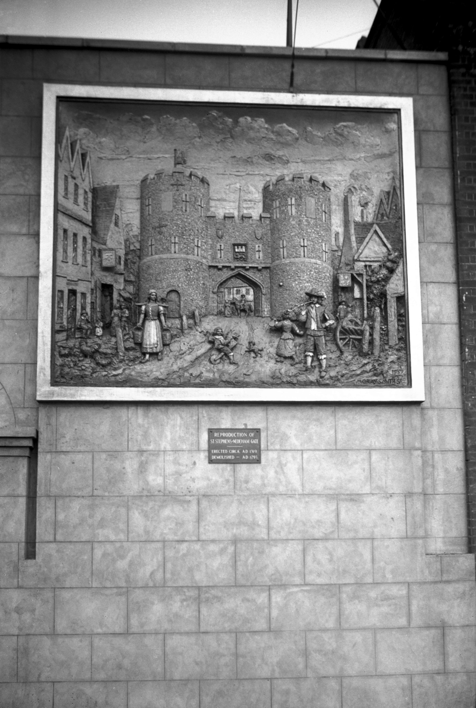
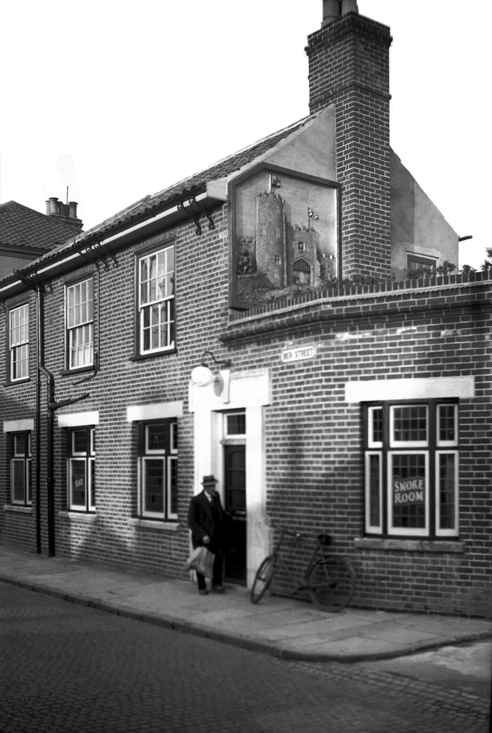
St Stephen's Gate mural sign [2157] 1938-03-13
On the Coachmakers' Arms Inn, St Stephen's Rd. Two panels
depicting St Stephen's and Ber St Gates were executed by
Mr J Moray-Smith, sculptor and painter. Standing on a
scaffolding he built up the panels bit by bit from
buckets of wet concrete. When the moulding and carving
were finished, further time was spent in painting the
panels and applying a coat of varnish to preserve the
colours for years to come. The original pictures used
were those drawn by John Ninham in 1792-3. St Stephen's
Gate was demolished in 1793 and Ber St Gate in 1808. |
|
|
Ber St Gate mural sign Ber Strete Gate PH [2072]
1938-01-19
See also St Stephen's Gate sign. |